White Hill
Hill, Mountain in Northumberland
England
White Hill
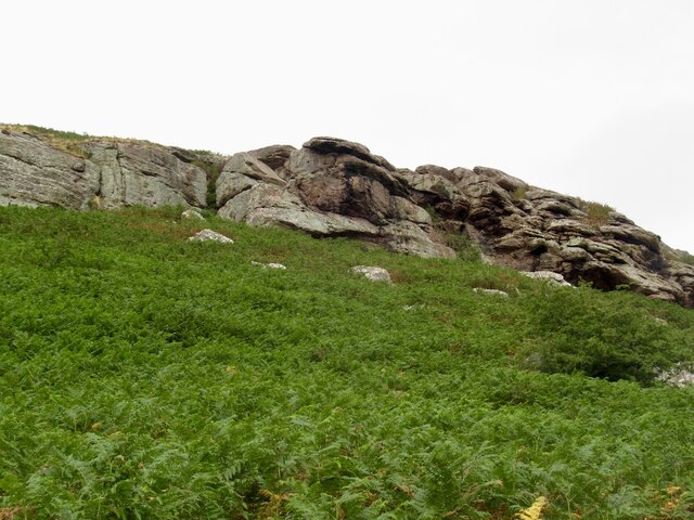
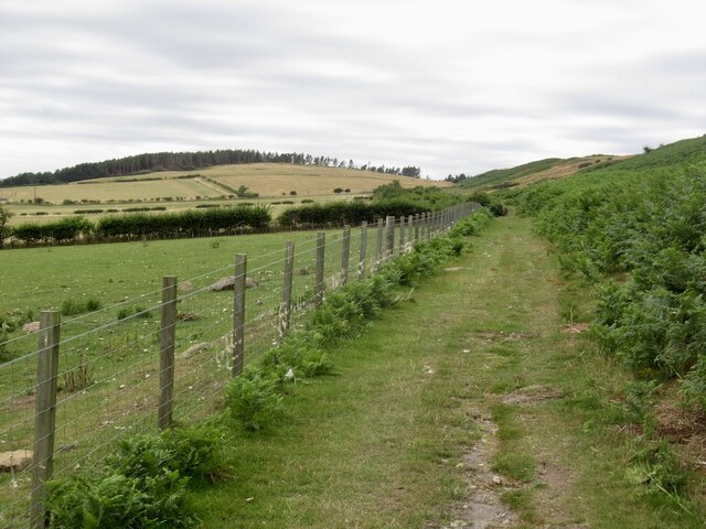
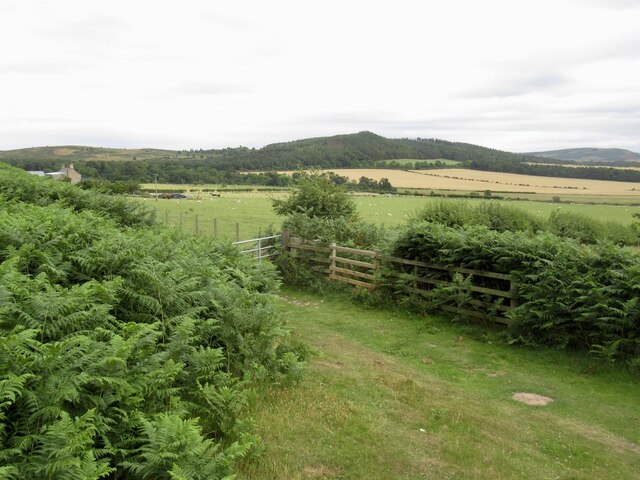
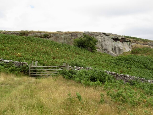
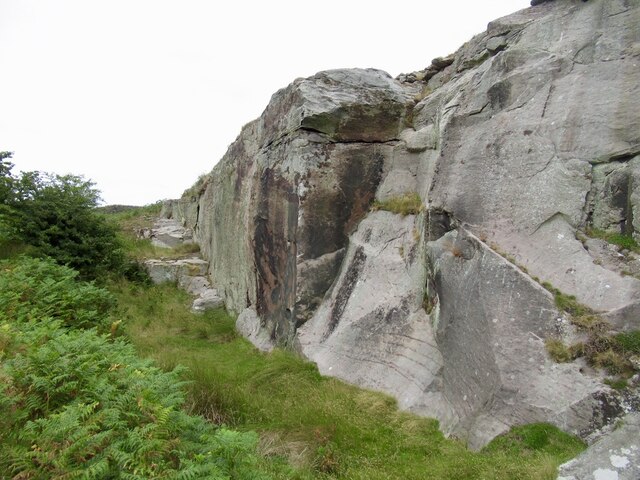
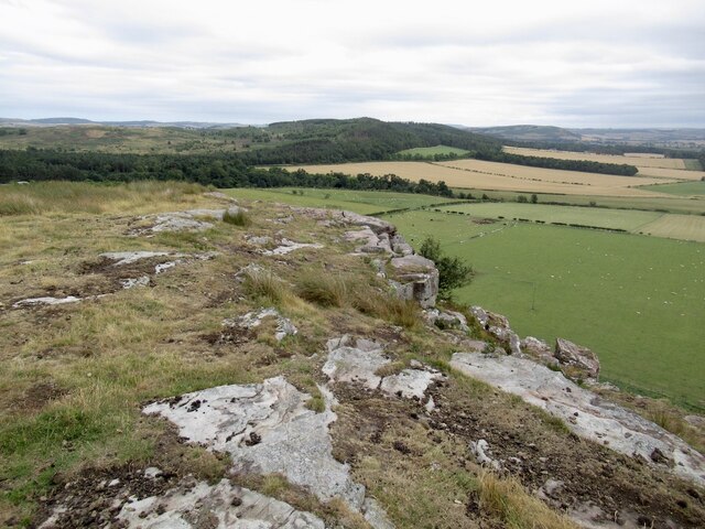
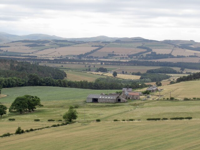
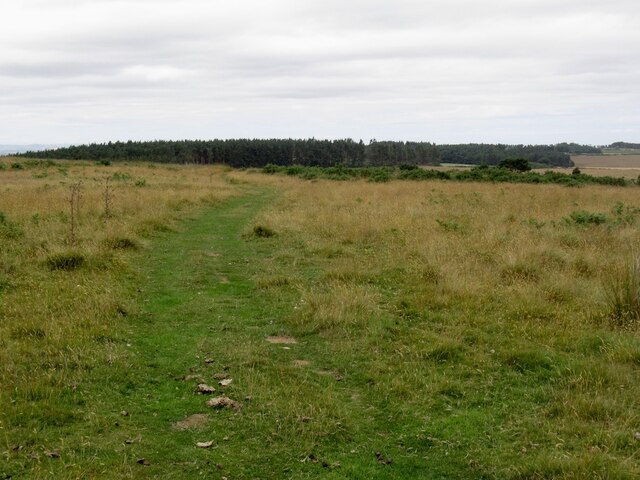
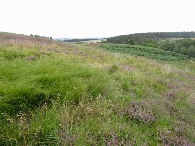
White Hill is a prominent hill located in the county of Northumberland, England. As the name suggests, the hill is known for its white appearance, which is due to the presence of white limestone that forms its composition. It is situated in the remote and picturesque Northumberland National Park, which is renowned for its stunning natural beauty.
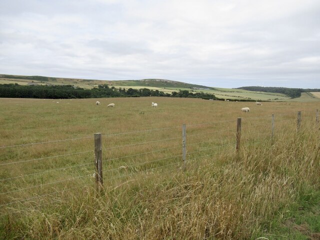
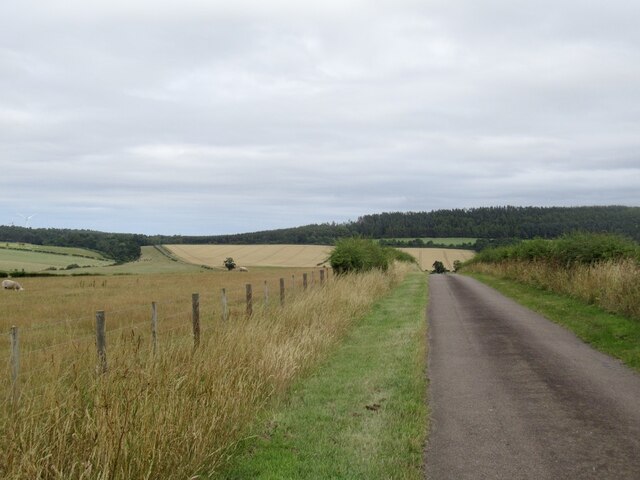
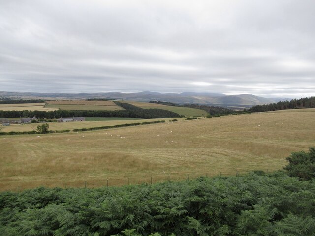
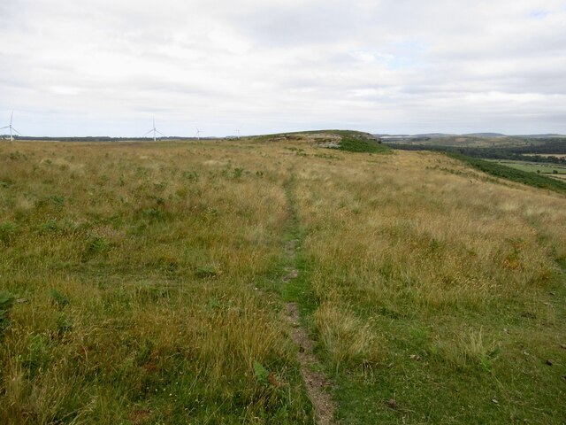
Rising to an elevation of approximately 345 meters (1,132 feet), White Hill offers breathtaking panoramic views of the surrounding countryside. On a clear day, visitors can enjoy vistas stretching as far as the Cheviot Hills and the Scottish Borders. The hill is easily accessible through various footpaths and trails, making it a popular destination for hikers, nature enthusiasts, and photographers.
The hill is home to a diverse range of flora and fauna, including several rare and protected species. Heather, gorse, and bilberry are abundant on the slopes, providing a vibrant display of colors during the summer months. The hillside also supports a variety of bird species, such as curlews, lapwings, and skylarks, making it a paradise for birdwatchers.
White Hill is steeped in history, with evidence of human activity dating back thousands of years. Prehistoric burial mounds and ancient settlements can be found in the vicinity, offering a glimpse into the region's rich past. The hill has also played a role in more recent history, serving as a training ground for the British Army during World War II.
Overall, White Hill is a captivating natural landmark that showcases the beauty and diversity of Northumberland's landscape. Whether it's for a leisurely stroll or a challenging hike, visitors are sure to be enchanted by this picturesque and historically significant hill.
If you have any feedback on the listing, please let us know in the comments section below.
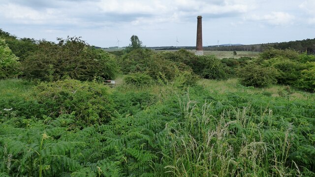
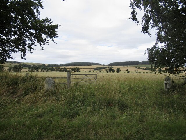
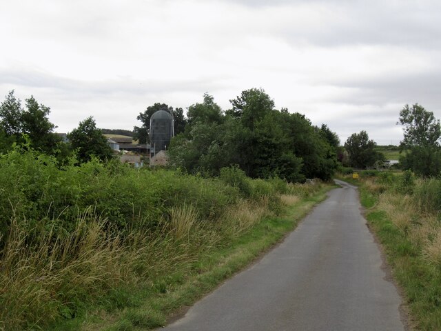
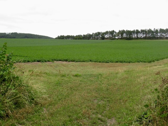
White Hill Images
Images are sourced within 2km of 55.613286/-2.0496947 or Grid Reference NT9635. Thanks to Geograph Open Source API. All images are credited.
White Hill is located at Grid Ref: NT9635 (Lat: 55.613286, Lng: -2.0496947)
Unitary Authority: Northumberland
Police Authority: Northumbria
What 3 Words
///amount.scrambles.jubilant. Near Ford, Northumberland
Nearby Locations
Related Wikis

Nesbit, Northumberland
Nesbit is a hamlet and former civil parish, now in the parish of Doddington, Northumberland, England. It was once the site of a medieval village. In maps...

Ford, Northumberland
Ford is a small village and civil parish in Northumberland, England, about 13 miles (21 km) from Berwick-upon-Tweed. The parish also includes Etal. �...

Lady Waterford Hall
Lady Waterford Hall is the former village school of the estate village of Ford, Northumberland. It is now used as the village hall and is a Grade II* listed...
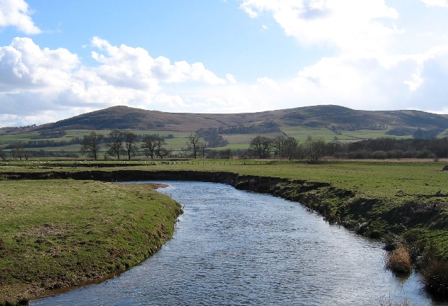
River Glen, Northumberland
The River Glen is a seven mile long tributary of the River Till flowing through Northumberland, England. The College Burn and Bowmont Water, both flowing...

Ford Castle
Ford Castle is a Grade I listed building situated at a shallow crossing point on the River Till, Ford, Northumberland, England. The castle dates from about...

RAF Milfield
Royal Air Force Milfield or more simply RAF Milfield is a former Royal Air Force station which operated during the Second World War, located near Milfield...

Maelmin Henge
Maelmin Henge is modern interpretation/reconstruction of a henge monument near the village of Milfield, Northumberland in the Till Valley.It was built...

Milfield
Milfield is a village in Northumberland, England about 3 miles (5 km) northwest of Wooler. The A697 road passes through the village. == History == Milfield...
Nearby Amenities
Located within 500m of 55.613286,-2.0496947Have you been to White Hill?
Leave your review of White Hill below (or comments, questions and feedback).