Whinny Plantation
Wood, Forest in Northumberland
England
Whinny Plantation
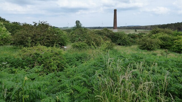
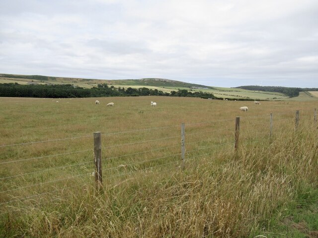
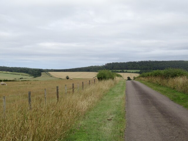
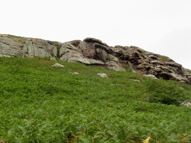
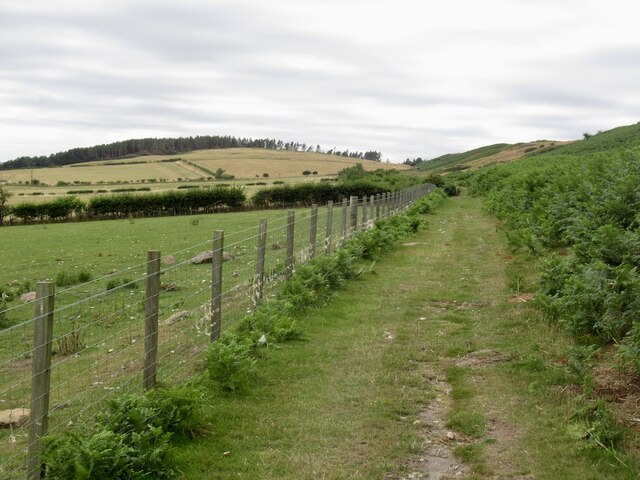
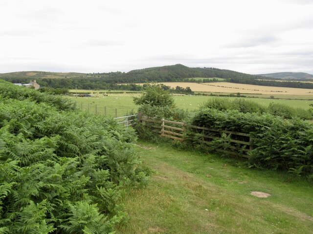
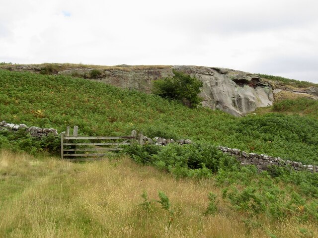
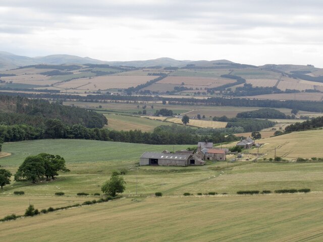
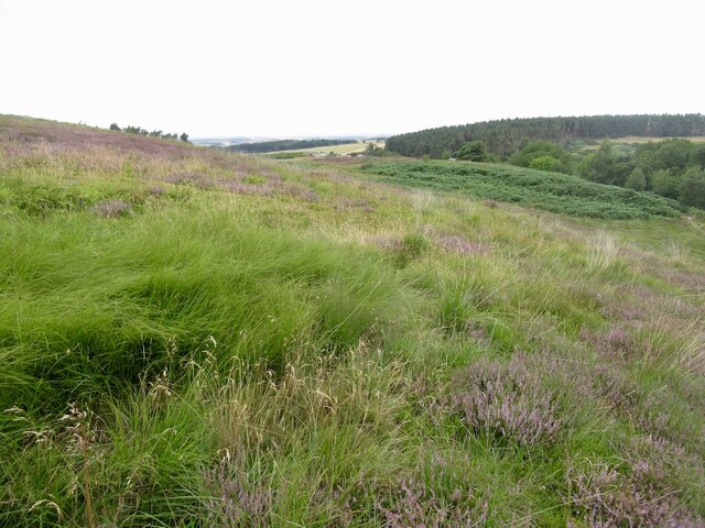
Whinny Plantation, located in Northumberland, is a picturesque woodland area known for its natural beauty and diverse ecosystem. Covering a vast expanse, the plantation is a unique blend of ancient woodlands, dense forests, and open clearings, offering visitors a tranquil and enchanting experience.
The plantation boasts an impressive array of flora and fauna, making it a haven for nature enthusiasts and wildlife lovers. Towering oak and beech trees dominate the landscape, providing a rich habitat for a wide range of bird species, including woodpeckers, owls, and songbirds. Additionally, the dense undergrowth is home to various small mammals such as squirrels, rabbits, and foxes.
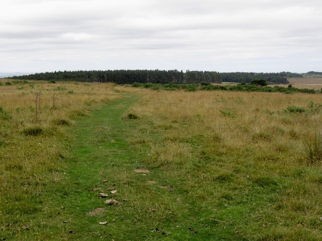
Visitors to Whinny Plantation can explore a network of well-maintained walking trails, allowing them to immerse themselves in the natural surroundings and discover the hidden treasures of the woodland. The trails provide opportunities for leisurely strolls, birdwatching, and photography. The plantation also offers designated picnic areas and benches where visitors can relax and enjoy the serene atmosphere.
Whinny Plantation is not only a haven for wildlife but also plays a vital role in conserving the natural environment. The plantation is managed sustainably, ensuring the preservation of the delicate ecosystem and promoting biodiversity.
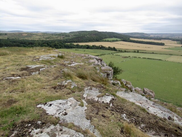
Overall, Whinny Plantation in Northumberland offers a peaceful retreat for those seeking solace in nature. With its breathtaking landscapes, diverse wildlife, and well-maintained trails, it is a must-visit destination for nature enthusiasts and anyone looking to reconnect with the beauty of the outdoors.
If you have any feedback on the listing, please let us know in the comments section below.
Whinny Plantation Images
Images are sourced within 2km of 55.613274/-2.0556003 or Grid Reference NT9635. Thanks to Geograph Open Source API. All images are credited.
Whinny Plantation is located at Grid Ref: NT9635 (Lat: 55.613274, Lng: -2.0556003)
Unitary Authority: Northumberland
Police Authority: Northumbria
What 3 Words
///savings.fidelity.flashing. Near Ford, Northumberland
Nearby Locations
Related Wikis

Nesbit, Northumberland
Nesbit is a hamlet and former civil parish, now in the parish of Doddington, Northumberland, England. It was once the site of a medieval village. In maps...

Ford, Northumberland
Ford is a small village and civil parish in Northumberland, England, about 13 miles (21 km) from Berwick-upon-Tweed. The parish also includes Etal. �...

Lady Waterford Hall
Lady Waterford Hall is the former village school of the estate village of Ford, Northumberland. It is now used as the village hall and is a Grade II* listed...

Ford Castle
Ford Castle is a Grade I listed building situated at a shallow crossing point on the River Till, Ford, Northumberland, England. The castle dates from about...
River Glen, Northumberland
The River Glen is a seven mile long tributary of the River Till flowing through Northumberland, England. The College Burn and Bowmont Water, both flowing...

Maelmin Henge
Maelmin Henge is modern interpretation/reconstruction of a henge monument near the village of Milfield, Northumberland in the Till Valley.It was built...

RAF Milfield
Royal Air Force Milfield or more simply RAF Milfield is a former Royal Air Force station which operated during the Second World War, located near Milfield...

Milfield
Milfield is a village in Northumberland, England about 3 miles (5 km) northwest of Wooler. The A697 road passes through the village. == History == Milfield...
Nearby Amenities
Located within 500m of 55.613274,-2.0556003Have you been to Whinny Plantation?
Leave your review of Whinny Plantation below (or comments, questions and feedback).