Coldberry Hill
Hill, Mountain in Northumberland
England
Coldberry Hill
The requested URL returned error: 429 Too Many Requests
If you have any feedback on the listing, please let us know in the comments section below.
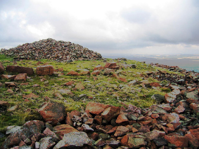
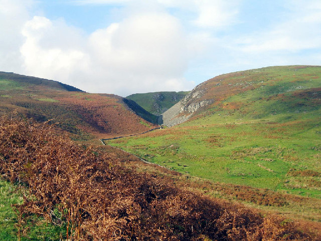
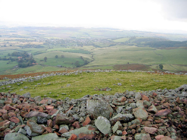
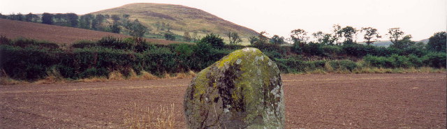
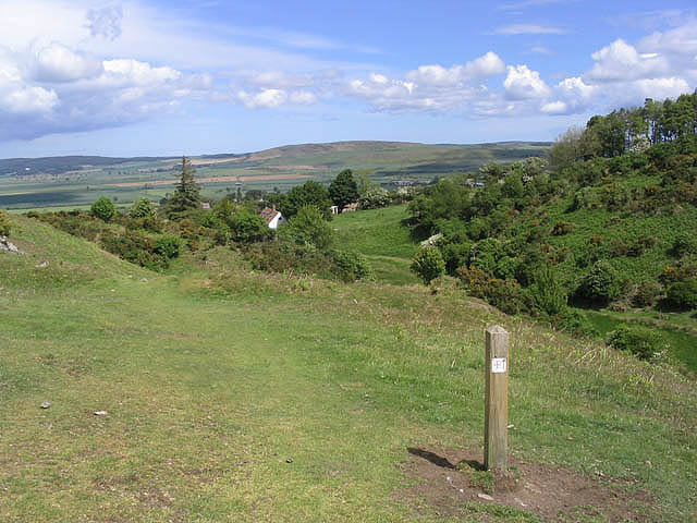
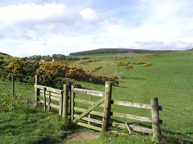
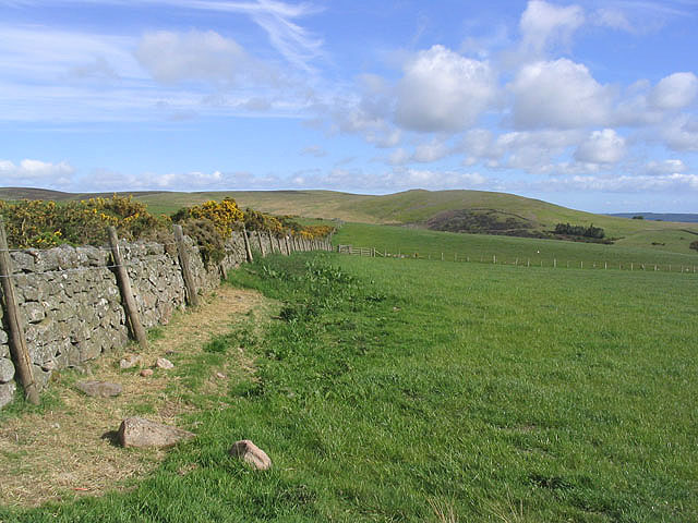
Coldberry Hill Images
Images are sourced within 2km of 55.541367/-2.0513624 or Grid Reference NT9627. Thanks to Geograph Open Source API. All images are credited.


Coldberry Hill is located at Grid Ref: NT9627 (Lat: 55.541367, Lng: -2.0513624)
Unitary Authority: Northumberland
Police Authority: Northumbria
What 3 Words
///prevents.gasp.irrigate. Near Wooler, Northumberland
Nearby Locations
Related Wikis

Humbleton Hill
Humbleton Hill is a hill in Northumberland, England, about 1.5 miles (2.4 km) west of Wooler. It is the location of the Battle of Homildon Hill of 1402...

Earle, Northumberland
Earle is a village and civil parish in county of Northumberland, England. It has around 20 inhabitants and is about 2 miles (3 km) from Wooler (where from...
Battle of Homildon Hill
The Battle of Holmedon Hill or Battle of Homildon Hill was a conflict between English and Scottish armies on 14 September 1402 in Northumberland, England...

St Ninian's Catholic Church, Wooler
St Ninian’s church is a Catholic place of worship situated on Burnhouse Road in the town of Wooler in Northumberland, England. It is a Grade II listed...
Nearby Amenities
Located within 500m of 55.541367,-2.0513624Have you been to Coldberry Hill?
Leave your review of Coldberry Hill below (or comments, questions and feedback).