Bell's Hill
Hill, Mountain in Durham
England
Bell's Hill

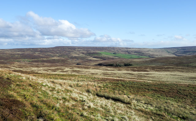
Bell's Hill is a prominent hill located in Durham, a historic city in northeast England. Rising to an elevation of approximately 142 meters (466 feet), it is considered one of the higher points in the area. The hill is situated within the larger region known as the Durham Dales, renowned for its picturesque landscapes and notable geological features.
Bell's Hill is characterized by its gentle slopes and lush greenery, making it an attractive destination for nature enthusiasts and hikers. The hill offers panoramic views of the surrounding countryside, including the nearby River Wear and the historic cityscape of Durham. On clear days, visitors can even catch a glimpse of the distant North Pennines, adding to the area's visual appeal.
The hill derives its name from the historical association with bells. In the past, it was believed that the ringing of church bells would help ward off evil spirits and protect the local community. As a result, Bell's Hill became a symbolic location for the practice of bell ringing, reinforcing its cultural significance in the region.
Aside from its natural beauty, Bell's Hill also holds archaeological importance. It is known to have remnants of ancient settlements, including evidence of Iron Age occupation. These discoveries have contributed to our understanding of the area's rich history and the lives of its early inhabitants.
Overall, Bell's Hill stands as a captivating landmark in Durham, offering both scenic beauty and a glimpse into the region's cultural and historical heritage.
If you have any feedback on the listing, please let us know in the comments section below.
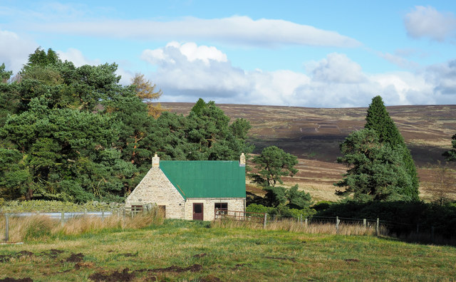
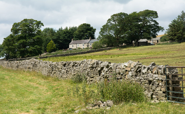
Bell's Hill Images
Images are sourced within 2km of 54.794701/-2.0504688 or Grid Reference NY9644. Thanks to Geograph Open Source API. All images are credited.


Bell's Hill is located at Grid Ref: NY9644 (Lat: 54.794701, Lng: -2.0504688)
Unitary Authority: County Durham
Police Authority: Durham
What 3 Words
///cashiers.sisters.addicted. Near Stanhope, Co. Durham
Nearby Locations
Related Wikis

Ramshaw, Consett
Ramshaw is a small village in County Durham, in England. It is situated to the south of Hunstanworth, a few miles west of Consett. Lead mining was an important...
Blanchland railway station
Blanchland railway station served the village of Blanchland, Northumberland, England, from 1845 to 1965 on the Stanhope and Tyne Railway. == History... ==

Heathery Burn Cave
Heathery Burn Cave is a cave near Stanhope, County Durham, England, in which a large collection of Late Bronze Age weapons and tools was discovered and...

Rookhope
Rookhope is a village in the civil parish of Stanhope, in County Durham, England. A former lead and fluorspar mining community, it first existed as a group...
Weardale Rural District
Weardale was a rural district in County Durham, England from 1894 to 1974. It was formed under the Local Government Act 1894 as a successor to the Weardale...
Muggleswick, Stanhope and Edmundbyers Commons and Blanchland Moor
Muggleswick, Stanhope and Edmundbyers Commons and Blanchland Moor is a Site of Special Scientific Interest in County Durham and Northumberland, England...
Townfield
Townfield is a village in County Durham, in England. It is situated just to the south of Hunstanworth and part of that parish, about 10 miles (16 km) west...

Hunstanworth
Hunstanworth is a village in County Durham, England. It is situated approximately 10 miles to the west of Consett, south-west of the village of Blanchland...
Nearby Amenities
Located within 500m of 54.794701,-2.0504688Have you been to Bell's Hill?
Leave your review of Bell's Hill below (or comments, questions and feedback).