Hough Hill
Hill, Mountain in Cheshire
England
Hough Hill
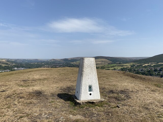
Hough Hill is a prominent hill located in Cheshire, England. Rising to an elevation of approximately 182 meters (597 feet), it is considered a significant landmark in the surrounding area. The hill is situated near the village of Hough, which is about 6 miles northeast of the town of Crewe.
Hough Hill is characterized by its gently sloping sides, covered in lush green vegetation, making it a picturesque sight. The hill is primarily composed of sandstone, a sedimentary rock that is common in the region. This geological composition contributes to the stability of the hill and its ability to support vegetation.
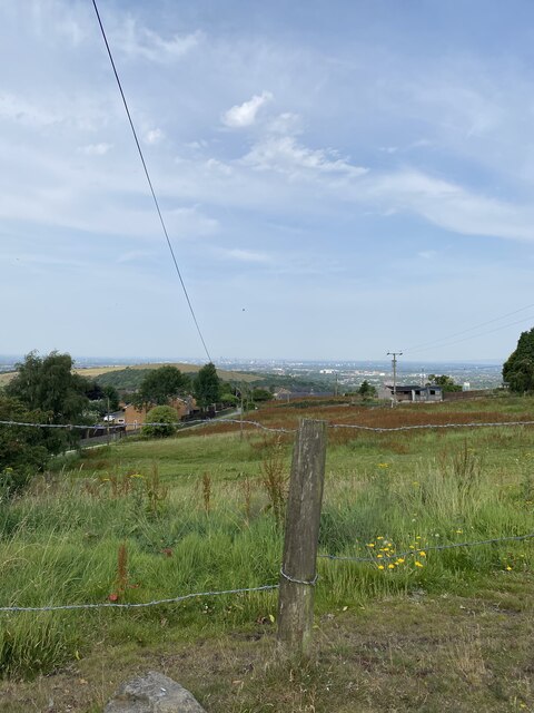
The summit of Hough Hill offers breathtaking panoramic views of the surrounding countryside. On clear days, visitors can enjoy vistas stretching across the Cheshire Plain, with distant views of the Peak District National Park to the east. This scenic beauty attracts nature enthusiasts, hikers, and photographers to the hill.
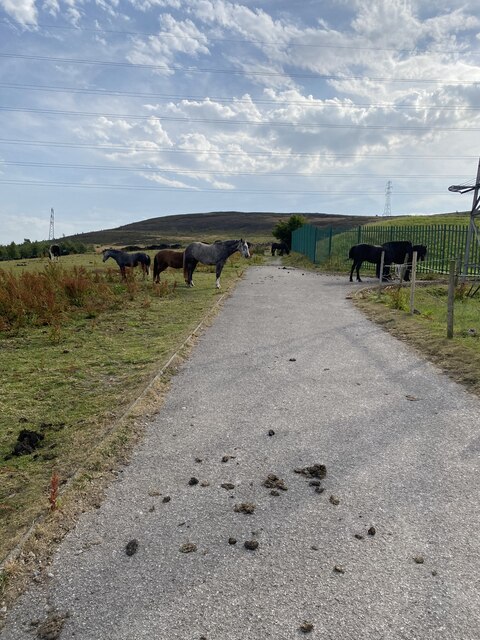
The hill is also home to a variety of wildlife, including rabbits, foxes, and numerous bird species. The area surrounding Hough Hill is a designated Site of Special Scientific Interest (SSSI) due to its diverse flora and fauna.
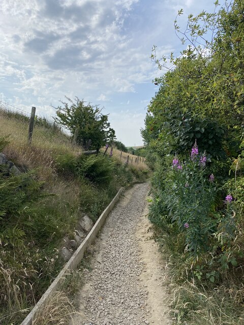
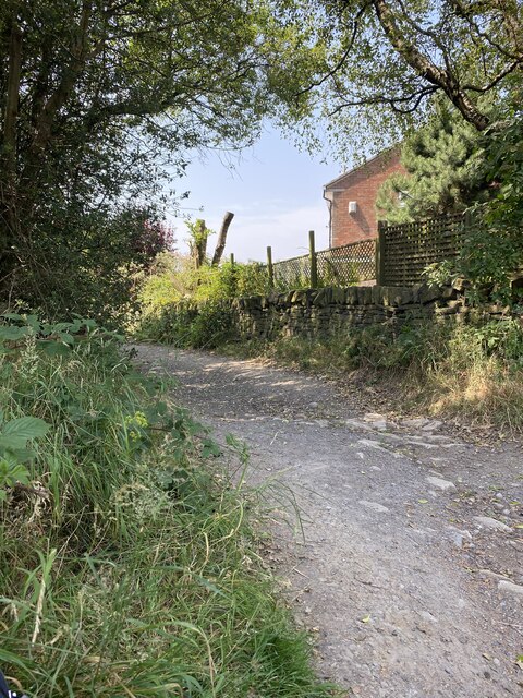
Hough Hill is a popular destination for outdoor activities such as walking, hiking, and picnicking. The hill is easily accessible and has designated pathways, allowing visitors to explore its enchanting surroundings. It offers a serene and tranquil atmosphere, making it an ideal spot for relaxation and enjoyment of nature.
If you have any feedback on the listing, please let us know in the comments section below.
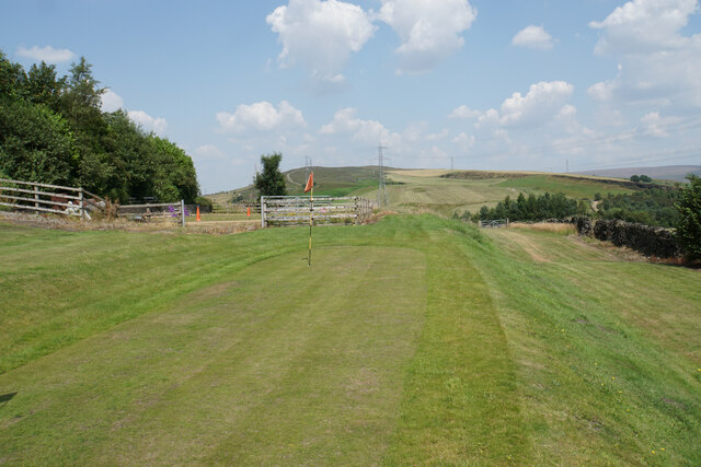
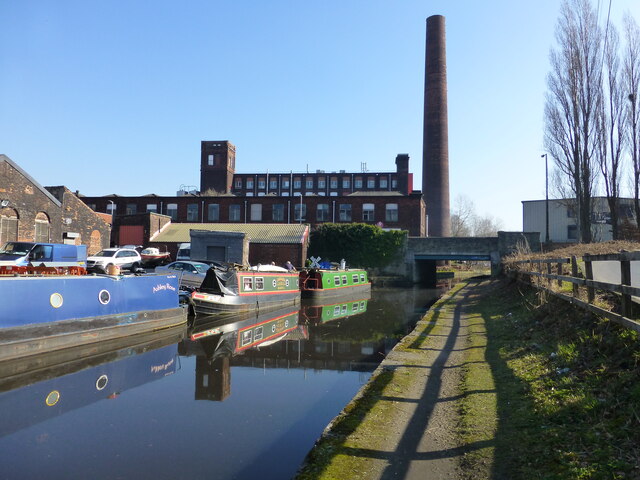
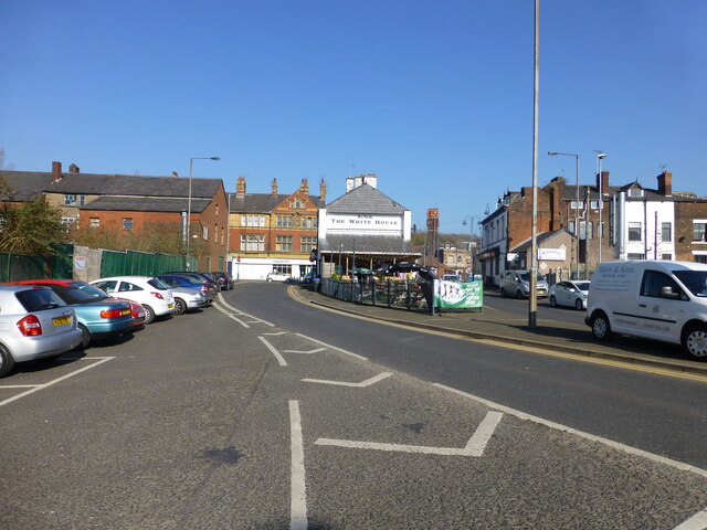
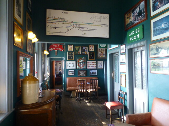
Hough Hill Images
Images are sourced within 2km of 53.473528/-2.0490304 or Grid Reference SJ9697. Thanks to Geograph Open Source API. All images are credited.


Hough Hill is located at Grid Ref: SJ9697 (Lat: 53.473528, Lng: -2.0490304)
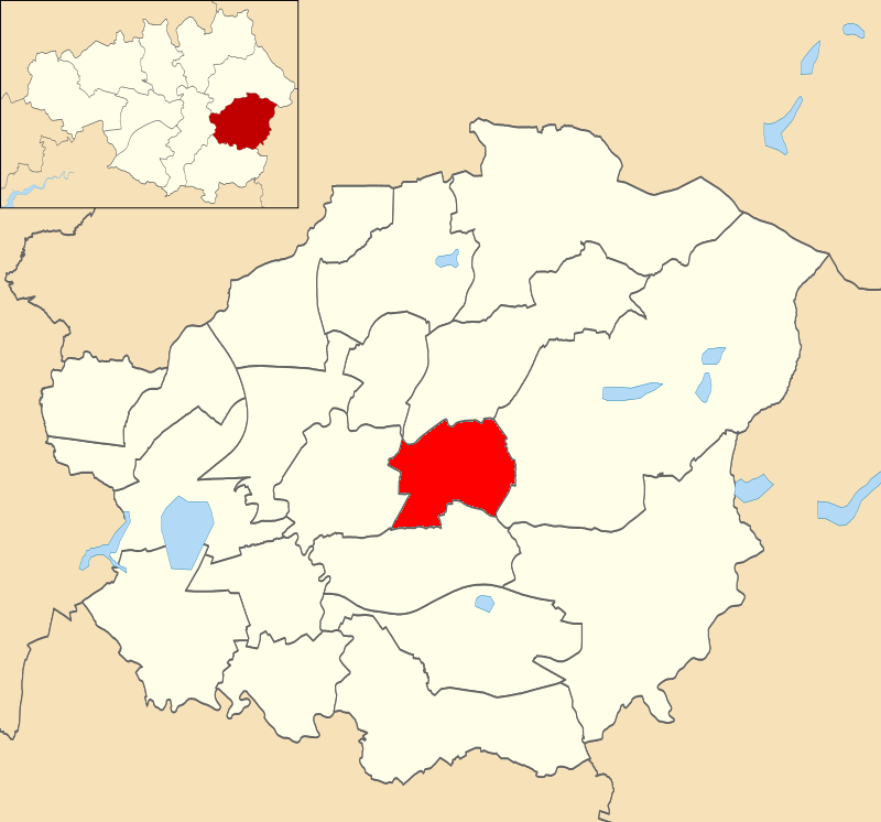
Unitary Authority: Tameside
Police Authority: Greater Manchester
What 3 Words
///tuned.pays.pest. Near Stalybridge, Manchester
Nearby Locations
Related Wikis
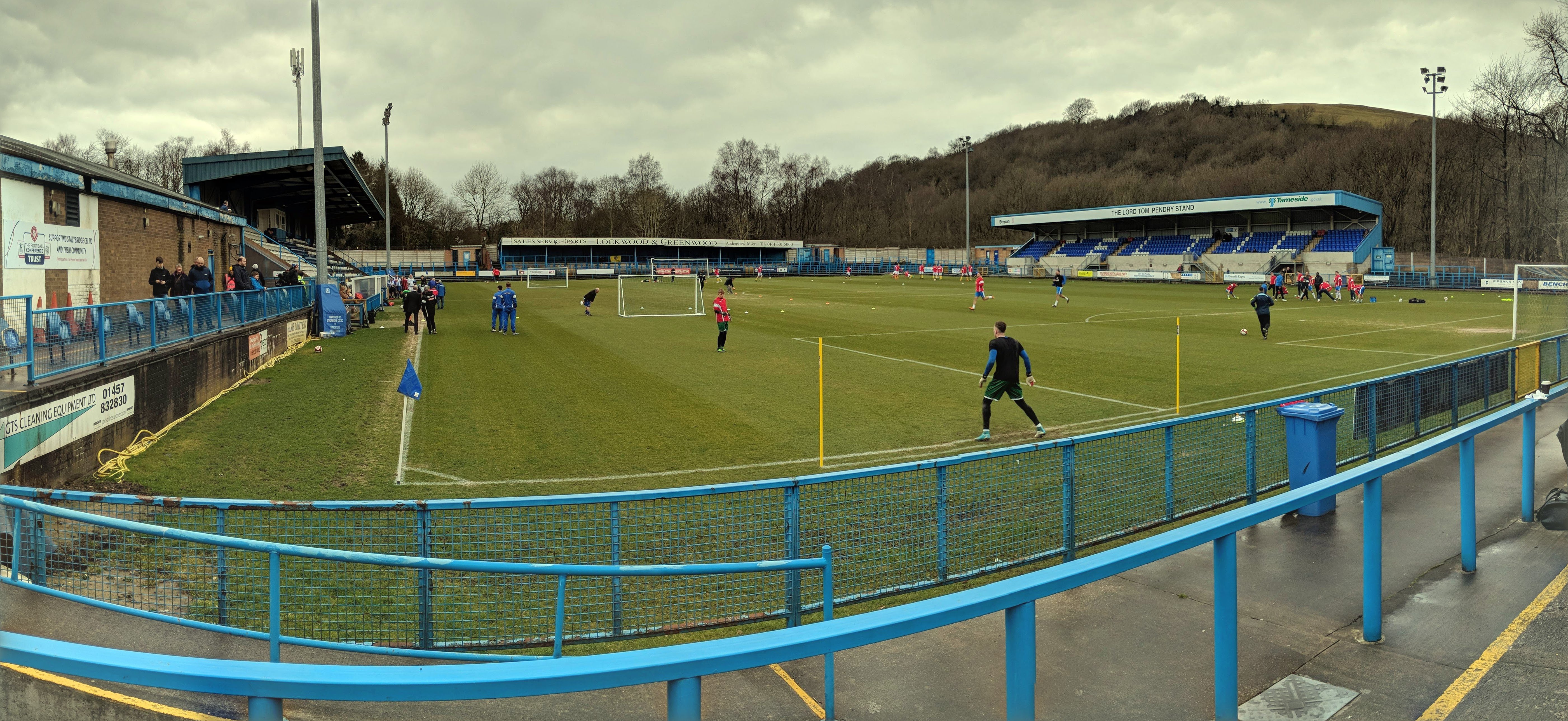
Bower Fold
Bower Fold in Stalybridge, Greater Manchester, England, is the home ground of Stalybridge Celtic football club and, intermittently, Oldham rugby league...

Eastwood Nature Reserve
Eastwood Nature Reserve is a 4.7-hectare (11.6-acre) nature reserve in Stalybridge, Tameside, England. It is managed by the Cheshire Wildlife Trust (CWT...

Gorse Hall
Gorse Hall was the name given to two large houses in Stalybridge, Greater Manchester, England, on a hill bordering Dukinfield (now in Tameside, but until...
Dukinfield / Stalybridge (ward)
Dukinfield / Stalybridge is an electoral ward of Tameside, England. It is represented in Westminster by Jonathan Reynolds Labour Co-operative MP for Stalybridge...
Nearby Amenities
Located within 500m of 53.473528,-2.0490304Have you been to Hough Hill?
Leave your review of Hough Hill below (or comments, questions and feedback).