Hough Hill
Settlement in Cheshire
England
Hough Hill
Hough Hill is a small village located in the county of Cheshire, England. It is situated about 6 miles south-east of the market town of Nantwich and approximately 15 miles east of the city of Chester. The village is part of the unitary authority of Cheshire East.
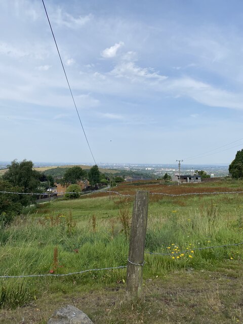
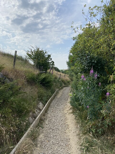
Hough Hill is known for its picturesque setting, surrounded by beautiful countryside and rolling hills. The village itself is characterized by quaint, traditional cottages and a close-knit community atmosphere. It is a peaceful and tranquil place, offering residents and visitors a rural escape from the hustle and bustle of nearby urban areas.
Despite its small size, Hough Hill has a rich history. It was mentioned in the Domesday Book of 1086 and has seen various changes over the centuries. The village has a notable church, St. Paul's, which dates back to the 13th century and is a Grade II listed building. The church is a focal point of the community and holds regular services and events.
In terms of amenities, Hough Hill offers limited facilities, including a village hall and a local pub. However, residents have easy access to a wider range of services and amenities in the nearby towns and cities.
Overall, Hough Hill is a charming village that offers a tranquil and idyllic setting for its residents. Its rich history, beautiful surroundings, and close-knit community make it an attractive place to live or visit.
If you have any feedback on the listing, please let us know in the comments section below.
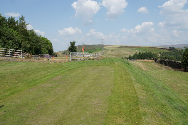
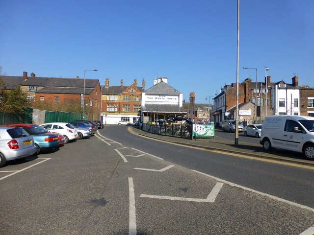
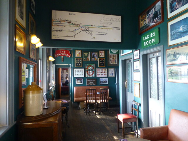
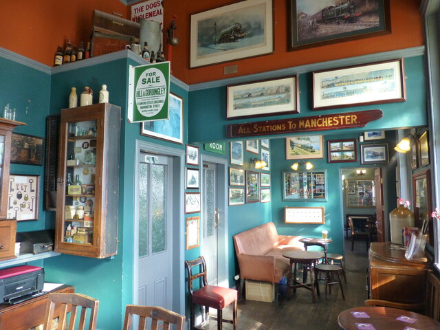
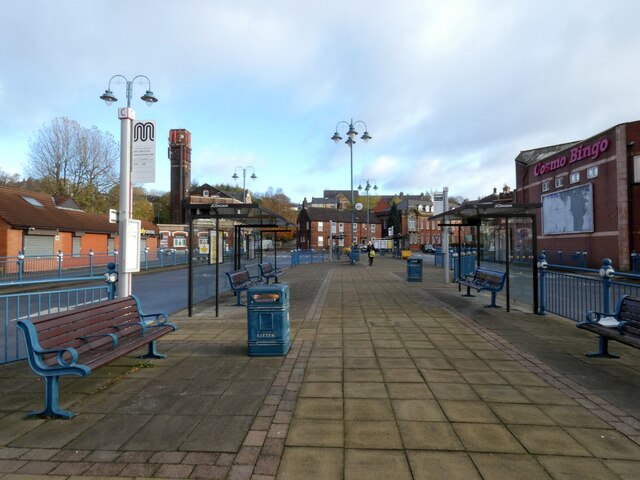
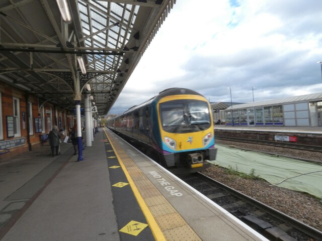
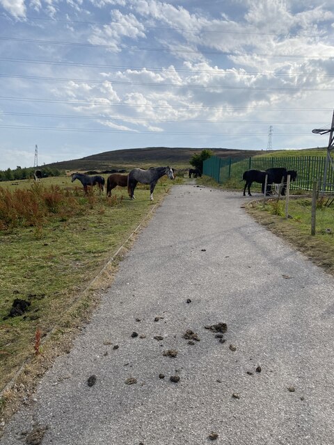
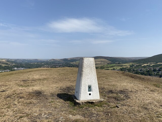
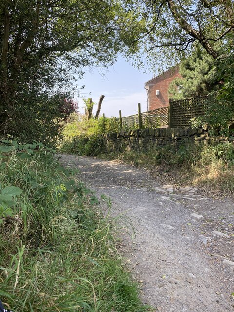
Hough Hill Images
Images are sourced within 2km of 53.473763/-2.048179 or Grid Reference SJ9697. Thanks to Geograph Open Source API. All images are credited.


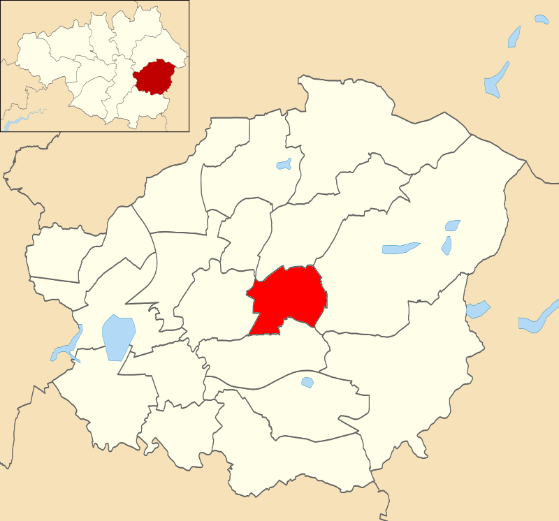
Hough Hill is located at Grid Ref: SJ9697 (Lat: 53.473763, Lng: -2.048179)
Unitary Authority: Tameside
Police Authority: Greater Manchester
What 3 Words
///brief.value.ropes. Near Stalybridge, Manchester
Nearby Locations
Related Wikis
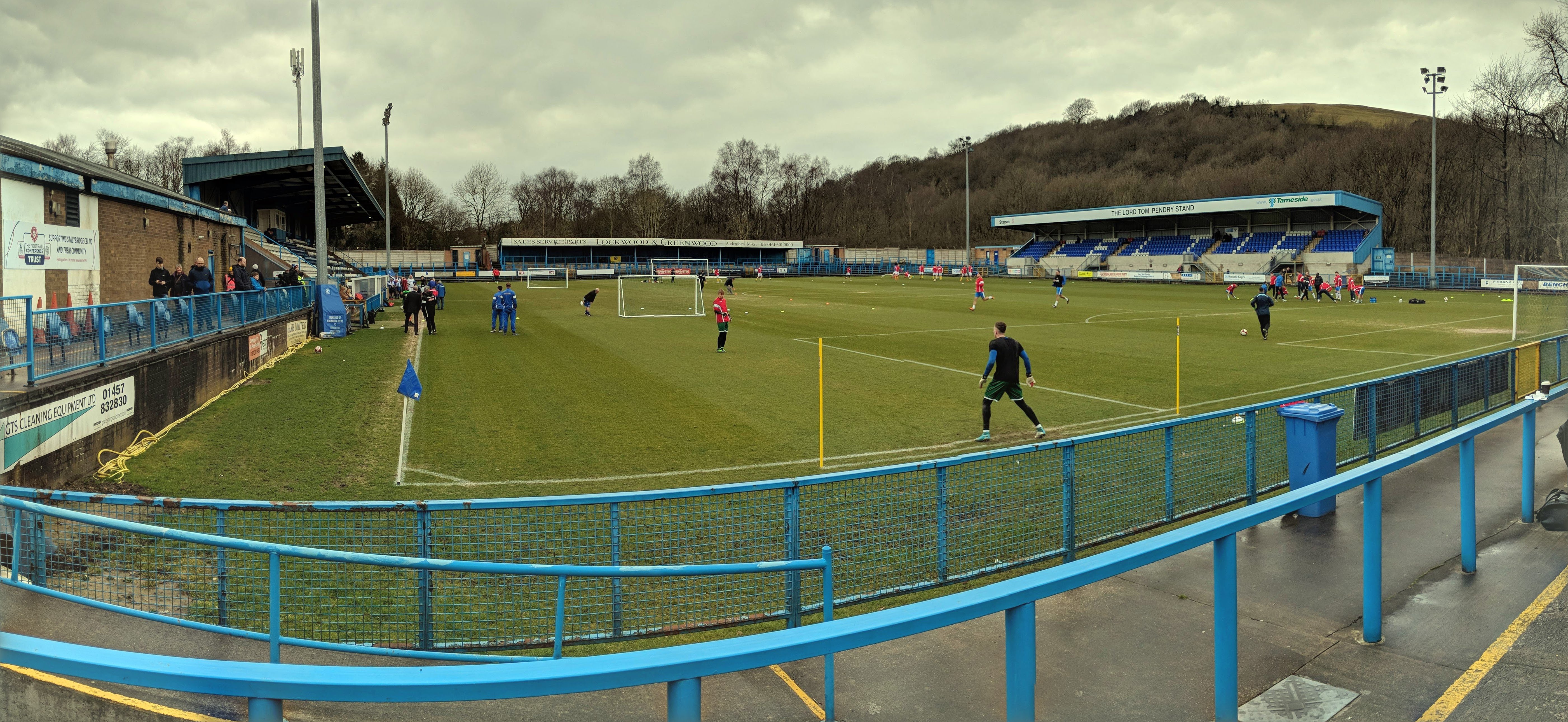
Bower Fold
Bower Fold in Stalybridge, Greater Manchester, England, is the home ground of Stalybridge Celtic football club and, intermittently, Oldham rugby league...

Eastwood Nature Reserve
Eastwood Nature Reserve is a 4.7-hectare (11.6-acre) nature reserve in Stalybridge, Tameside, England. It is managed by the Cheshire Wildlife Trust (CWT...

Gorse Hall
Gorse Hall was the name given to two large houses in Stalybridge, Greater Manchester, England, on a hill bordering Dukinfield (now in Tameside, but until...
Dukinfield / Stalybridge (ward)
Dukinfield / Stalybridge is an electoral ward of Tameside, England. It is represented in Westminster by Jonathan Reynolds Labour Co-operative MP for Stalybridge...
Nearby Amenities
Located within 500m of 53.473763,-2.048179Have you been to Hough Hill?
Leave your review of Hough Hill below (or comments, questions and feedback).