Mansion Hill

Hill, Mountain in Dorset

England

Mansion Hill

Holme Bush Inn
Holme Bush Inn Credit: Barry Shimmon

Mansion Hill, located in the picturesque county of Dorset, is a prominent hill that stands majestically in the landscape. Rising to an elevation of approximately 200 meters above sea level, Mansion Hill offers breathtaking panoramic views of the surrounding countryside and the charming town of Dorchester.

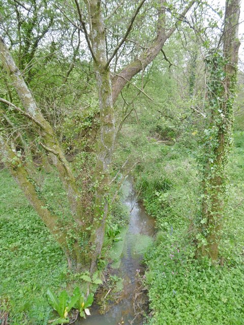
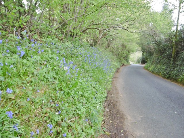
Covered in lush green vegetation, the hill is known for its diverse range of flora and fauna, making it a haven for nature enthusiasts and hikers. The slopes of Mansion Hill are adorned with ancient woodland, carpeted with bluebells in the spring, and home to a variety of wildlife, including deer, foxes, and a multitude of bird species.

At the summit of Mansion Hill, visitors are rewarded with a stunning vista that stretches as far as the eye can see. On clear days, it is possible to catch a glimpse of the English Channel and the distant hills of Devon. The hilltop is a popular spot for picnicking, as well as kite flying and paragliding, offering a sense of serenity and tranquility.

In addition to its natural beauty, Mansion Hill also holds historical significance. The remains of an Iron Age hillfort can be found on its slopes, serving as a reminder of the area's ancient past. Archaeological excavations have unearthed artifacts dating back centuries, shedding light on the lives of our ancestors who once inhabited this land.

Overall, Mansion Hill is a captivating destination that captivates both locals and tourists alike. With its stunning views, rich biodiversity, and historical significance, it offers a truly immersive experience in the heart of Dorset's natural beauty.

If you have any feedback on the listing, please let us know in the comments section below.
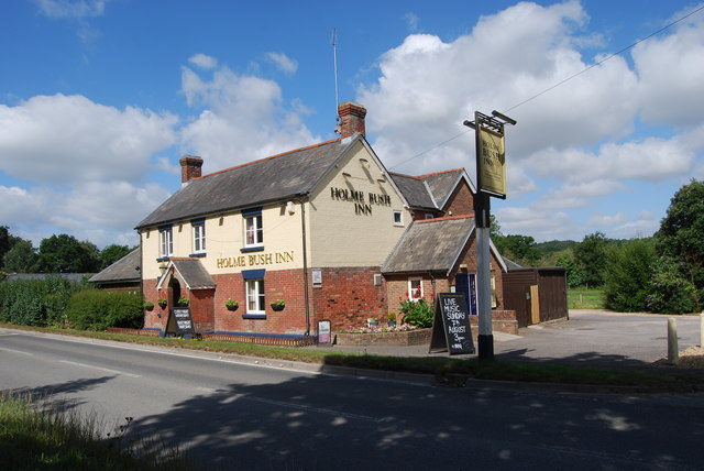
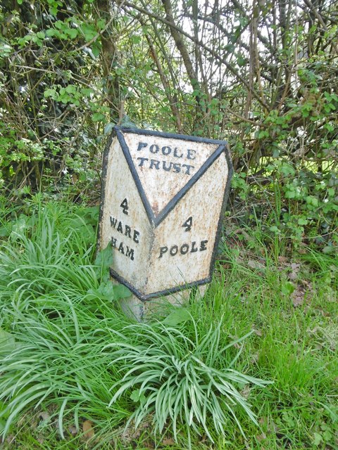
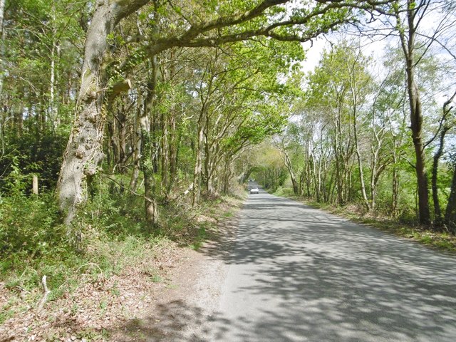
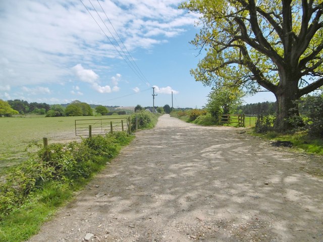
Mansion Hill Images

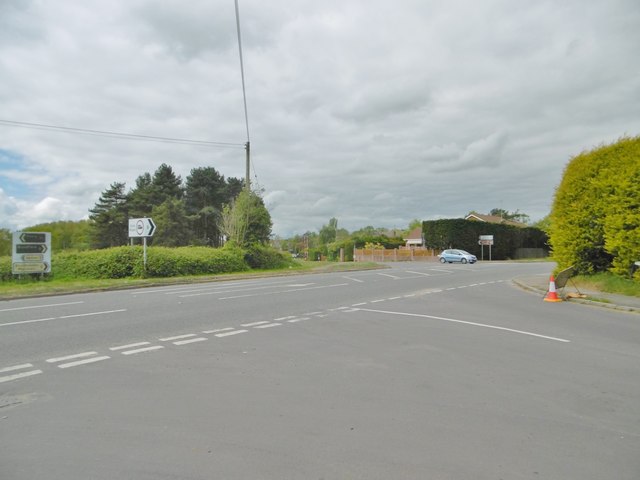
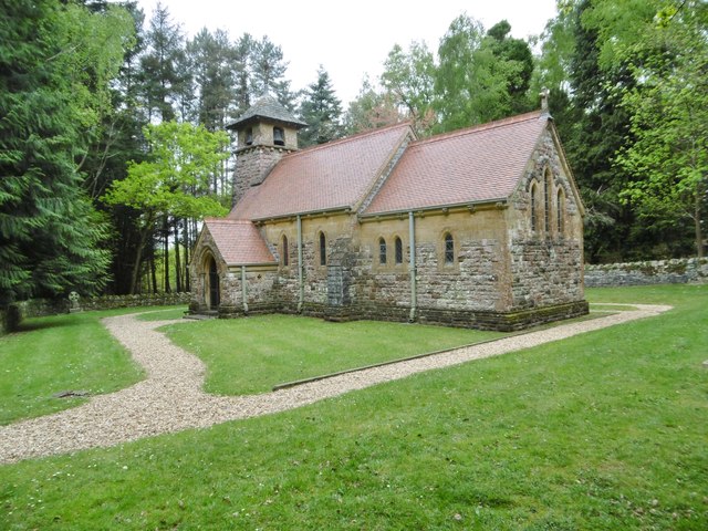
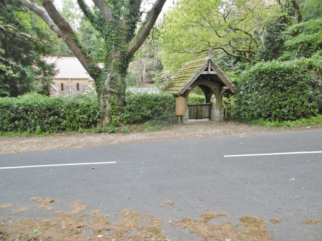
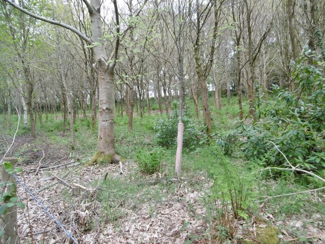
Images are sourced within 2km of 50.754093/-2.0477352 or Grid Reference SY9694. Thanks to Geograph Open Source API. All images are credited.

Holme Bush Inn
Holme Bush Inn
Old Milepost by the B3067, Lytchett Minster Cast iron post by the B3067, in parish of LYTCHETT MINSTER AND UPTON (PURBECK District), Lytchett Minster, opposite church and school, on 2m wide grass verge, on a bend, on South-east side of road. Poole cast iron post, erected by the Poole Turnpike Trust in the 19th century. 

Inscription reads:-
: 4 / WARE / HAM : : POOLE / TRUST : : 4 / POOLE :

Grade II Listed. List Entry Number: 1392932
<span class="nowrap"><a title="https://historicengland.org.uk/listing/the-list/list-entry/1392932" rel="nofollow ugc noopener" href="https://historicengland.org.uk/listing/the-list/list-entry/1392932">Link</a><img style="margin-left:2px;" alt="External link" title="External link - shift click to open in new window" src="https://s1.geograph.org.uk/img/external.png" width="10" height="10"/></span>

Milestone Society National ID: DO_WAPO04.
Old Milepost by the B3067, Lytchett Minster
Cast iron post by the B3067, in parish of LYTCHETT MINSTER AND UPTON (PURBECK District), Lytchett Minster, opposite church and school, on 2m wide grass verge, on a bend, on South-east side of road. Poole cast iron post, erected by the Poole Turnpike Trust in the 19th century. Inscription reads:- : 4 / WARE / HAM : : POOLE / TRUST : : 4 / POOLE : Grade II Listed. List Entry Number: 1392932 LinkExternal link Milestone Society National ID: DO_WAPO04.
Corfe Mullen, Rushall Lane Lane from Blandford Road North to Corfe Mullen; plantation, left, and properties and grazing land, right.
Corfe Mullen, Rushall Lane
Lane from Blandford Road North to Corfe Mullen; plantation, left, and properties and grazing land, right.
Corfe Mullen, plantation Stony Down Plantation - conifers with a little hardwood.
Corfe Mullen, plantation
Stony Down Plantation - conifers with a little hardwood.
Corfe Mullen, bridleway Bridleway and access road, from Rushall Lane to Upton Heath.
Corfe Mullen, bridleway
Bridleway and access road, from Rushall Lane to Upton Heath.
Corfe Mullen, crossroads Jubilee Cross - looking from Rushall Lane to Wimborne Road; left and right, Blandford Road North.
Corfe Mullen, crossroads
Jubilee Cross - looking from Rushall Lane to Wimborne Road; left and right, Blandford Road North.
Corfe Mullen, timber Softwood logs awaiting collection in Stony Down Plantation.
Corfe Mullen, timber
Softwood logs awaiting collection in Stony Down Plantation.
Corfe Mullen, bridleway Across Stony Down Plantation, from Rushall Lane to Old Market Road.
Corfe Mullen, bridleway
Across Stony Down Plantation, from Rushall Lane to Old Market Road.
Corfe Mullen, plantation Stony Down Plantation - conifers with patches of hardwood.
Corfe Mullen, plantation
Stony Down Plantation - conifers with patches of hardwood.
Corfe Mullen, track junction From camera and ahead, the bridleway to Old Market Road; left and right, tracks belonging to a local camping business. Upgrading of the tracks seems to have caused local controversy: <span class="nowrap"><a title="https://susanjefferies.mycouncillor.org.uk/2015/10/16/stoney-down-plantation/" rel="nofollow ugc noopener" href="https://susanjefferies.mycouncillor.org.uk/2015/10/16/stoney-down-plantation/">Link</a><img style="margin-left:2px;" alt="External link" title="External link - shift click to open in new window" src="https://s1.geograph.org.uk/img/external.png" width="10" height="10"/></span>
Corfe Mullen, track junction
From camera and ahead, the bridleway to Old Market Road; left and right, tracks belonging to a local camping business. Upgrading of the tracks seems to have caused local controversy: LinkExternal link
Corfe Mullen, power lines Crossing Stony Down Plantation.
Corfe Mullen, power lines
Crossing Stony Down Plantation.
Lytchett Heath, St. Aldhelm's Late C19 church, now apparently disused - there is no church board, though the churchyard appears tended.
Lytchett Heath, St. Aldhelm's
Late C19 church, now apparently disused - there is no church board, though the churchyard appears tended.
Lytchett Heath, lych gate At the entrance to <a href="https://www.geograph.org.uk/photo/5370269">SY9694 : Lytchett Heath, St. Aldhelm's</a>.
Lytchett Heath, lych gate
Lytchett Heath, spinney Immature trees on the lane to Huntinck Road.
Lytchett Heath, spinney
Immature trees on the lane to Huntinck Road.
Lytchett Minster, Pit Bottom A shallow valley with stream that drains into Sherford River; looking downstream.
Lytchett Minster, Pit Bottom
A shallow valley with stream that drains into Sherford River; looking downstream.
Lytchett Minster, bluebells Wild bluebells on the verge of the lane to Randalls Hill.
Lytchett Minster, bluebells
Wild bluebells on the verge of the lane to Randalls Hill.
Lytchett Minster, crossroads Coming from Corfe Mullen - left, to Upton; ahead, to Lytchett Minster School; right, to Lytchett Matravers.
Lytchett Minster, crossroads
Coming from Corfe Mullen - left, to Upton; ahead, to Lytchett Minster School; right, to Lytchett Matravers.
Lytchett Minster, burial ground Harbour View Woodland Burial Ground, on Randalls Hill on the site of Randall's Farm: <span class="nowrap"><a title="http://www.tapperfuneralservice.co.uk/harbour-view/" rel="nofollow ugc noopener" href="http://www.tapperfuneralservice.co.uk/harbour-view/">Link</a><img style="margin-left:2px;" alt="External link" title="External link - shift click to open in new window" src="https://s1.geograph.org.uk/img/external.png" width="10" height="10"/></span>
Lytchett Minster, burial ground
Harbour View Woodland Burial Ground, on Randalls Hill on the site of Randall's Farm: LinkExternal link
Show me another place!

Mansion Hill is located at Grid Ref: SY9694 (Lat: 50.754093, Lng: -2.0477352)

Unitary Authority: Dorset

Police Authority: Dorset

What 3 Words

///shifters.chew.decide. Near Lytchett Matravers, Dorset

Related Wikis

Lytchett Heath

Lytchett Heath is an area of woods and farmland on the Dorset Heaths between the villages of Lytchett Matravers, Lytchett Minster and the hamlet of Beacon...

St Aldhelm's Church, Lytchett Heath

St Aldhelm's Church is a private church in Lytchett Heath, Dorset, England. It was designed by George Crickmay for Lord Eustace Cecil and built in 1898...

Beacon Hill, Dorset

Beacon Hill is one of the highest viewpoints in the hinterland of Poole Harbour, Dorset. Its tree-covered summit reaches 84 metres (276 ft) above sea level...

Stoney Down

Stoney Down or Stony Down is both a hill and an area of forested countryside in the county of Dorset, England, that has been designated an "Area of Great...

Lytchett Minster School

Lytchett Minster School is a comprehensive school, with about 1,400 students aged 11 to 18, and 100 teachers, in Lytchett Minster, just outside Upton,...

Barrow Hill, Dorset

Barrow Hill is a small settlement in Dorset, England, situated in the East Dorset administrative district on the A350 road approximately 4 miles (6.4 km...

Lytchett Minster and Upton

Lytchett Minster and Upton, formerly just Lytchett Minster is a civil parish in the Dorset district, in the ceremonial county of Dorset, England. The parish...

Upton Heath

Upton Heath is one of the largest remaining fragments of a heath that once stretched across central southern England from Dorchester to Christchurch and...

Nearby Amenities

Located within 500m of 50.754093,-2.0477352
Traffic Signals
Lat/Long: 50.7517442/-2.043902
Limberlost
Is In: Dorset, England, UK
Place: hamlet
Lat/Long: 50.7532144/-2.0443436
Material: wood
Power: pole
Source: bing
Lat/Long: 50.7531794/-2.0410734
Material: wood
Power: pole
Source: survey;bing
Switch: mechanical
Lat/Long: 50.7536834/-2.041625
EcoPen Ltd
Addr City: Poole
Addr Housenumber: 7
Addr Postcode: BH16 6AQ
Addr Street: Old Wareham Road
Office: company
Website: https://www.pplanes.com/
Lat/Long: 50.7527403/-2.0433654
Material: wood
Power: pole
Source: survey
Lat/Long: 50.7541826/-2.0421749
Fire Hydrant
Emergency: fire_hydrant
Fire Hydrant Diameter: 100
Fire Hydrant Type: underground
Ref: 2952
Source: GPS+GLONASS
Lat/Long: 50.753712/-2.042621
Fire Hydrant
Emergency: fire_hydrant
Fire Hydrant Diameter: 3 inch
Fire Hydrant Type: underground
Ref: 2047
Source: GPS+GLONASS
Lat/Long: 50.753014/-2.04311
Cabinet: fttc
Colour: green
Man Made: street_cabinet
Manufacturer: Huawei
Operator: BT OpenReach
Source: survey
Street Cabinet: telecom
Lat/Long: 50.7512144/-2.0438212
Cabinet: pstn
Colour: green
Connection Point: primary
Man Made: street_cabinet
Manufacturer: PO
Operator: BT OpenReach
Ref: 17
Source: survey
Street Cabinet: telecom
Lat/Long: 50.7511775/-2.0438251
Post Box
Collection Times: Mo-Fr 16:00; Sa 12:15
Operator: Royal Mail
Post Box Type: lamp
Ref: BH16 27
Ref GB Uprn: 10015305196
Royal Cypher: EIIR
Royal Cypher Wikidata: Q33102113
Source: survey
Lat/Long: 50.7520166/-2.044087
Bus Stop
Beacon Hill, Limberlost
Bench: no
Bin: no
Bus: yes
Lit: no
Naptan AtcoCode: 1200POA10225
Naptan Bearing: SE
Naptan CommonName: Limberlost
Naptan Indicator: SE-bound
Naptan NaptanCode: dordadwa
Naptan Street: Blandford Road North
Naptan Verified: no
Public Transport: platform
Shelter: no
Tactile Paving: no
Wheelchair: yes
Lat/Long: 50.7520597/-2.0441383
Bus Stop
Forest View Farm
Bench: no
Bin: no
Bus: yes
Lit: no
Naptan AtcoCode: 1200POA10223
Naptan Bearing: SE
Naptan CommonName: Forest Bourne Farm
Naptan Indicator: SE-bound
Naptan NaptanCode: dordadtj
Naptan Street: Blandford Road North
Naptan Verified: no
Public Transport: platform
Shelter: no
Tactile Paving: no
Wheelchair: yes
Lat/Long: 50.7549852/-2.0475635
Bus Stop
Forest View Farm
Bench: no
Bin: no
Bus: yes
Lit: no
Naptan AtcoCode: 1200POA10222
Naptan Bearing: NW
Naptan BusStopType: CUS
Naptan CommonName: Forest Bourne Farm
Naptan Indicator: NW-bound
Naptan NaptanCode: dordadtg
Naptan Street: Blandford Road North
Naptan Verified: no
Public Transport: platform
Shelter: no
Tactile Paving: no
Wheelchair: yes
Lat/Long: 50.7549494/-2.0476277
Bus Stop
Beacon Hill, Limberlost
Bench: no
Bin: yes
Bus: yes
Lit: no
Naptan AtcoCode: 1200POA10224
Naptan Bearing: NW
Naptan CommonName: Limberlost
Naptan Indicator: NW-bound
Naptan NaptanCode: dordadtp
Naptan Street: Blandford Road North
Naptan Verified: no
Public Transport: platform
Shelter: no
Tactile Paving: no
Wheelchair: yes
Lat/Long: 50.7520178/-2.0442658
Street Lamp
Camera Direction: 134
Camera Mount: pole
Camera Type: fixed
Height: 4
Lamp Mount: straight_mast
Lamp Type: electric
Man Made: surveillance
Surveillance: public
Surveillance Type: camera
Lat/Long: 50.7510343/-2.0432217
The data included in this document is from www.openstreetmap.org. The data is made available under ODbL.

Have you been to Mansion Hill?

Leave your review of Mansion Hill below (or comments, questions and feedback).