Cage Hill
Hill, Mountain in Cheshire
England
Cage Hill
Cage Hill is a prominent hill located in the county of Cheshire, England. It is situated within the village of Mow Cop, near the town of Congleton. With an elevation of 335 meters (1,099 feet), it is considered one of the highest points in Cheshire.
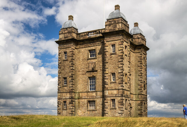
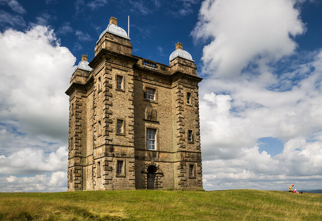
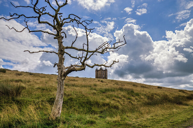
The hill takes its name from a distinctive rock formation at its summit, which resembles a cage or a tower. This unique feature is believed to have been a folly built in the 18th century by local landowner Randle Wilbraham, who intended it to be a summerhouse. However, due to its exposed location, it was never used for this purpose.
Cage Hill offers breathtaking panoramic views of the surrounding countryside. On a clear day, visitors can see as far as the Peak District National Park to the east and the Welsh mountains to the west. The hill is a popular destination for hikers and nature enthusiasts, with several footpaths leading to its summit.
The area around Cage Hill is rich in history and folklore. It is said to have been a site of ancient settlements, with evidence of human habitation dating back to the Iron Age. Legend has it that the hill was also once home to a group of outlawed highwaymen, who used the rock formation as a lookout point.
Today, Cage Hill remains a significant landmark in Cheshire, attracting visitors from near and far who come to admire its stunning views and explore the surrounding countryside.
If you have any feedback on the listing, please let us know in the comments section below.
Cage Hill Images
Images are sourced within 2km of 53.344578/-2.0517054 or Grid Reference SJ9683. Thanks to Geograph Open Source API. All images are credited.


Cage Hill is located at Grid Ref: SJ9683 (Lat: 53.344578, Lng: -2.0517054)
Unitary Authority: Cheshire East
Police Authority: Cheshire
What 3 Words
///stretch.defectors.deflect. Near Disley, Cheshire
Nearby Locations
Related Wikis

Lyme Handley
Lyme Handley, sometimes known as Lyme, is a former civil parish, now in the parish of Kettleshulme and Lyme Handley, in between Disley and Stockport, in...

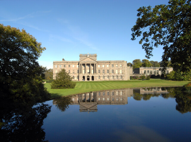
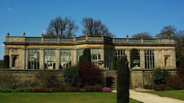
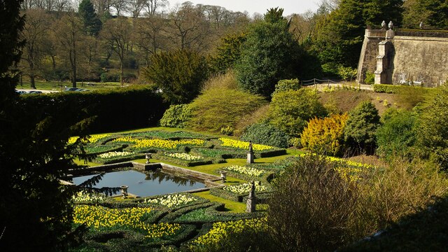
Lyme Park
Lyme Park is a large estate south of Disley, Cheshire, England, managed by the National Trust and consisting of a mansion house surrounded by formal gardens...

Bollinhurst Reservoir
The Bollinhurst Reservoir was constructed in Lyme Park in 1872 for the Stockport District Waterworks Company. At the time of the First World War, it had...
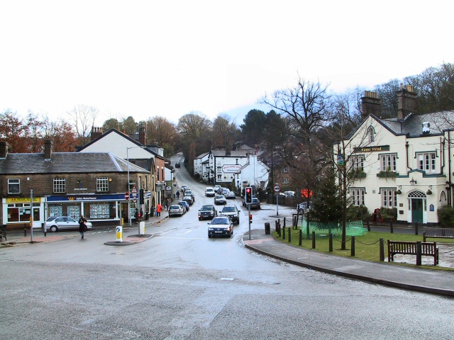
Disley
Disley is a village and civil parish in Cheshire, England. It is located on the edge of the Peak District in the Goyt valley, south of Stockport and close...
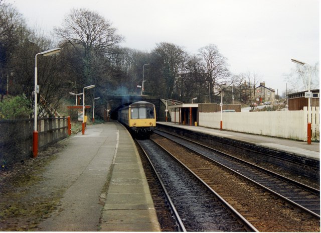
Disley railway station
Disley railway station serves the village of Disley in Cheshire, England. It is 12+1⁄3 miles (19.8 km) south east of Manchester Piccadilly on the Buxton...

St Mary's Church, Disley
St Mary's Church is an Anglican parish church in the diocese of Chester, the archdeaconry of Macclesfield and the deanery of Chadkirk. It is on a hill...

Bowstones
The Bowstones are a pair of Anglian cross shafts in Cheshire, England. Situated beside the old ridgeway between Disley and Macclesfield, overlooking Lyme...

Higher Poynton railway station
Higher Poynton was a railway station serving the eastern side of the town of Poynton in Cheshire, England. It was opened in 1869 by the Macclesfield, Bollington...
Nearby Amenities
Located within 500m of 53.344578,-2.0517054Have you been to Cage Hill?
Leave your review of Cage Hill below (or comments, questions and feedback).