Middle Hill

Hill, Mountain in Worcestershire Wychavon

England

Middle Hill

Mere Green Farmhouse Grade II Listed. Listed as in Hanbury ward. The view from the public road. There are two further listed buildings in the complex but there are no good trespass free views.
Mere Green Farmhouse Credit: Chris Allen

Middle Hill is a prominent landmark located in Worcestershire, England. Situated in the Malvern Hills Area of Outstanding Natural Beauty, Middle Hill is a popular destination for hikers and nature enthusiasts. Rising to an elevation of approximately 240 meters (787 feet), Middle Hill offers stunning panoramic views of the surrounding countryside and the nearby towns of Malvern and Worcester.

The hill is characterized by its gentle slopes and lush green vegetation, making it an ideal spot for leisurely walks and picnics. The area is home to a variety of wildlife, including birds, butterflies, and small mammals, adding to the natural charm of Middle Hill.

Visitors to Middle Hill can enjoy a peaceful and tranquil environment, away from the hustle and bustle of urban life. The hill is easily accessible by foot or by car, with designated parking areas available for those driving to the site. Whether looking for a challenging hike or a relaxing day out in nature, Middle Hill is a must-visit destination for anyone exploring the picturesque countryside of Worcestershire.

If you have any feedback on the listing, please let us know in the comments section below.
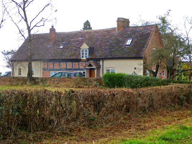
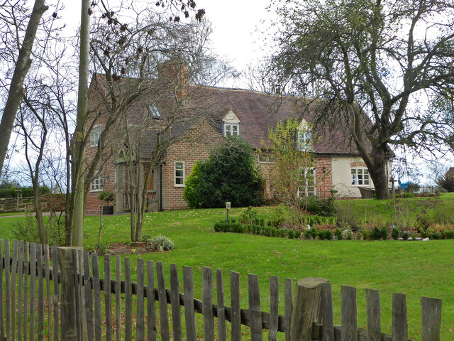
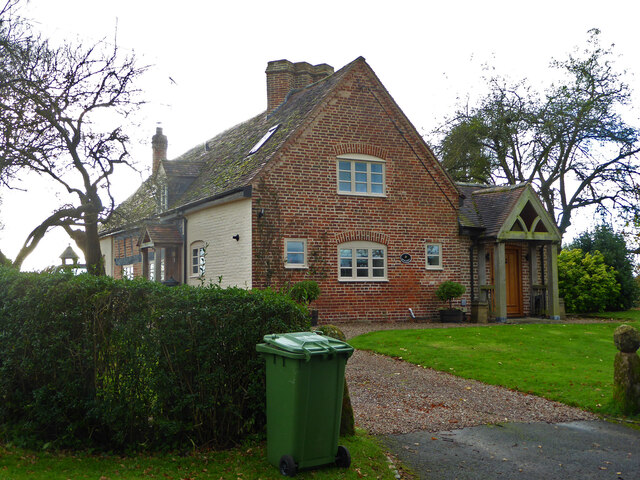
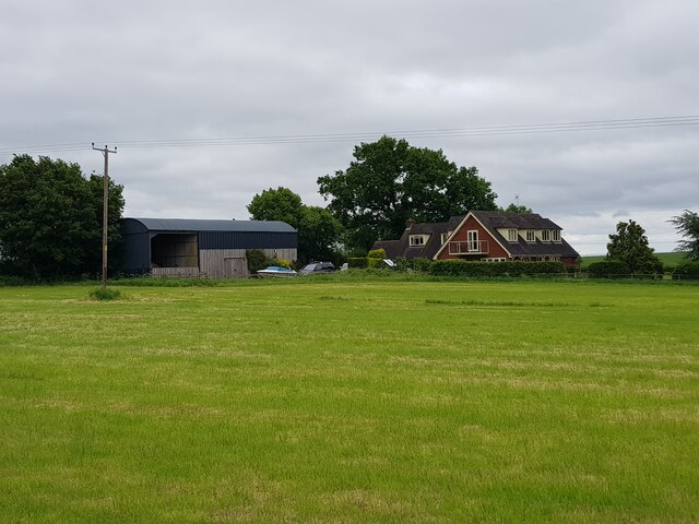
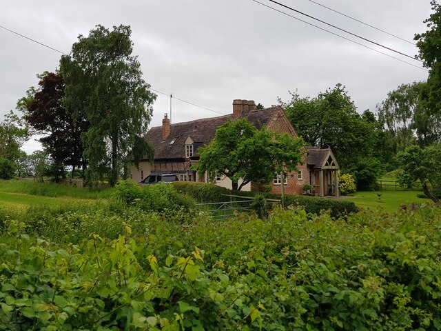
Middle Hill Images

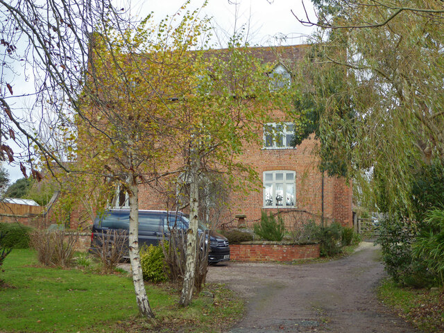
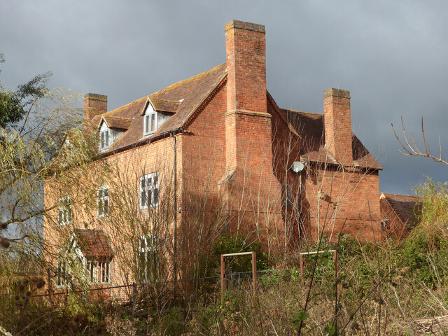
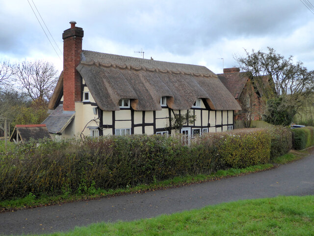
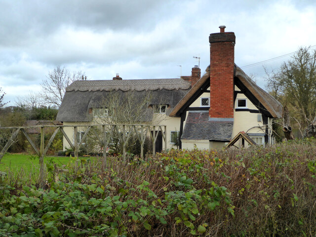
Images are sourced within 2km of 52.260735/-2.0535498 or Grid Reference SO9662. Thanks to Geograph Open Source API. All images are credited.

Mere Green Farmhouse Grade II Listed. Listed as in Hanbury ward. The view from the public road. There are two further listed buildings in the complex but there are no good trespass free views.
Mere Green Farmhouse
Grade II Listed. Listed as in Hanbury ward. The view from the public road. There are two further listed buildings in the complex but there are no good trespass free views.
Mere Green Farmhouse Grade II Listed. This was the best view I could manage from a public place. The complex includes two further listed buildings but I could not get a meaningful view of those from public places.
Mere Green Farmhouse
Grade II Listed. This was the best view I could manage from a public place. The complex includes two further listed buildings but I could not get a meaningful view of those from public places.
Well Cottage, Hanbury A 17th century house with a thatched roof, Listed Grade II.
Well Cottage, Hanbury
A 17th century house with a thatched roof, Listed Grade II.
Well Cottage, Hanbury A 17th century thatched dwelling, Listed Grade II.
Well Cottage, Hanbury
A 17th century thatched dwelling, Listed Grade II.
Dovecote by Pumphouse Farm Early 17th century dovecote, Listed Grade II. Difficult to get a clear view over the hedge from the public road. There is no convenient public footpath here.
Dovecote by Pumphouse Farm
Early 17th century dovecote, Listed Grade II. Difficult to get a clear view over the hedge from the public road. There is no convenient public footpath here.
Barn at Pumphouse Farm, Hanbury Grade II Listed.
Barn at Pumphouse Farm, Hanbury
Grade II Listed.
Pumphouse Farmhouse, Hanbury Grade II Listed.
Pumphouse Farmhouse, Hanbury
Grade II Listed.
White House Cottage, Hanbury Early 18th century with late 19th and early 20th century alterations. Grade II Listed.
White House Cottage, Hanbury
Early 18th century with late 19th and early 20th century alterations. Grade II Listed.
Appleby, Hanbury An early 17th century house with late 19th and mid-20th century alterations and additions. Listed Grade II.
Appleby, Hanbury
An early 17th century house with late 19th and mid-20th century alterations and additions. Listed Grade II.
Appleby, Hanbury An early 17th century house with late 19th and mid-20th century alterations and additions. Listed Grade II.
Appleby, Hanbury
An early 17th century house with late 19th and mid-20th century alterations and additions. Listed Grade II.
Appleby, Hanbury An early 17th century house with late 19th and mid-20th century alterations and additions. Listed Grade II.
Appleby, Hanbury
An early 17th century house with late 19th and mid-20th century alterations and additions. Listed Grade II.
Public footpath off Pumphouse Lane, Hanbury Hanbury Church is seen on the hill in the background
Public footpath off Pumphouse Lane, Hanbury
Hanbury Church is seen on the hill in the background
The White House, Hanbury A large old house in this Worcestershire village. I thought at first it must be one of the local listed buildings but soon realised it does not have any statutory protection.
The White House, Hanbury
A large old house in this Worcestershire village. I thought at first it must be one of the local listed buildings but soon realised it does not have any statutory protection.
Signpost at the junction of Loggerheads Lane and Pumphouse Lane, Hanbury Hanbury Church is in the right background.
Signpost at the junction of Loggerheads Lane and Pumphouse Lane, Hanbury
Hanbury Church is in the right background.
Carters Hill House, Pumphouse Lane from the fields
Appleby, Pumphouse Lane, Hanbury
Field boundaries with oil seed rape after flowering Between Pumphouse Lane and School Road, Hanbury.
Field boundaries with oil seed rape after flowering
Between Pumphouse Lane and School Road, Hanbury.
Walkers crossing a newly mowed field Towards Beck's Farm, School Road, Hanbury.
Walkers crossing a newly mowed field
Towards Beck's Farm, School Road, Hanbury.
Show me another place!

Middle Hill is located at Grid Ref: SO9662 (Lat: 52.260735, Lng: -2.0535498)

Administrative County: Worcestershire

District: Wychavon

Police Authority: West Mercia

What 3 Words

///ruin.amicably.appealed. Near Stoke Prior, Worcestershire

Related Wikis

Hanbury, Worcestershire

Hanbury is a rural village in Worcestershire, England near Droitwich Spa and the M5 motorway. The population of Hanbury has remained around 1,000 since...

Mere Green, Worcestershire

Mere Green is a hamlet in the English county of Worcestershire. It is located south of the village of Hanbury roughly midway between Worcester and Redditch...

St Mary the Virgin, Hanbury

The church of St Mary the Virgin is an Anglican parish church in the village of Hanbury, Worcestershire. Its earliest parts date from about 1210 and it...

Feckenham Forest

Feckenham Forest was a royal forest, centred on the village of Feckenham, covering large parts of Worcestershire and west Warwickshire. It was not entirely...

Nearby Amenities

Located within 500m of 52.260735,-2.0535498
Generator Method: photovoltaic
Generator Output Electricity: yes
Generator Source: solar
Generator Type: solar_photovoltaic_panel
Location: roof
Power: generator
Lat/Long: 52.2637713/-2.0543253
Generator Method: photovoltaic
Generator Output Electricity: yes
Generator Source: solar
Generator Type: solar_photovoltaic_panel
Location: roof
Power: generator
Lat/Long: 52.2636596/-2.0545694
Generator Method: photovoltaic
Generator Output Electricity: yes
Generator Source: solar
Generator Type: solar_photovoltaic_panel
Location: roof
Power: generator
Lat/Long: 52.2639239/-2.0539364
Location Transition: yes
Power: pole
Lat/Long: 52.2646684/-2.0534912
Power: pole
Lat/Long: 52.2649786/-2.0538466
Power: pole
Lat/Long: 52.2604642/-2.0505984
Location Transition: yes
Power: pole
Lat/Long: 52.264068/-2.0532471
Burleigh Cottages
Power: pole
Transformer: distribution
Voltage Primary: 11000
Lat/Long: 52.2636432/-2.0537581
Woolmere Green
Power: pole
Transformer: distribution
Voltage Primary: 11000
Lat/Long: 52.2623677/-2.0576774
Power: pole
Lat/Long: 52.2625667/-2.0573395
Power: pole
Lat/Long: 52.2627629/-2.0566213
Power: pole
Lat/Long: 52.2629004/-2.0560835
Power: pole
Lat/Long: 52.2630317/-2.0555679
Power: pole
Lat/Long: 52.2632045/-2.0548987
Power: pole
Lat/Long: 52.2629866/-2.0537044
Power: pole
Lat/Long: 52.2625237/-2.0531183
Power: pole
Lat/Long: 52.2620681/-2.0525403
Power: pole
Lat/Long: 52.2613638/-2.0522265
Power: pole
Lat/Long: 52.2608516/-2.0513991
Park Farm
Power: pole
Transformer: distribution
Voltage Primary: 11000
Lat/Long: 52.259246/-2.049901
Power: pole
Lat/Long: 52.2600714/-2.0497824
Power: pole
Lat/Long: 52.2598017/-2.0485634
Power: pole
Lat/Long: 52.2596177/-2.047732
Power: pole
Lat/Long: 52.2594537/-2.0469908
The data included in this document is from www.openstreetmap.org. The data is made available under ODbL.

Have you been to Middle Hill?

Leave your review of Middle Hill below (or comments, questions and feedback).