Fishpool Hill

Hill, Mountain in Worcestershire Wychavon

England

Fishpool Hill

Mere Green Farmhouse Grade II Listed. Listed as in Hanbury ward. The view from the public road. There are two further listed buildings in the complex but there are no good trespass free views.
Mere Green Farmhouse Credit: Chris Allen

Fishpool Hill is a prominent geographical feature located in Worcestershire, England. It is categorized as a hill and is situated near the village of Astley, approximately 7 miles southeast of the town of Stourport-on-Severn. Rising to an elevation of 153 meters (502 feet), Fishpool Hill offers breathtaking panoramic views of the surrounding countryside.

The hill is characterized by its distinctive shape, with a gentle slope on one side and a steeper incline on the other. It is covered in lush green vegetation, comprising a mix of grasses, shrubs, and trees, providing a tranquil and picturesque setting.

Fishpool Hill is a popular destination for outdoor enthusiasts and nature lovers. It offers a variety of walking trails, making it an ideal location for hikers and ramblers. The pathways wind through the hill's terrain, allowing visitors to explore its diverse flora and fauna.

The hill takes its name from a small pond or "pool" that historically existed on its slopes, attracting fish. This aquatic feature has long since disappeared, but the name has endured. Fishpool Hill is also known for its archaeological significance, with evidence of Iron Age settlements found in the vicinity.

Due to its elevated position, Fishpool Hill provides stunning views over the Worcestershire countryside. On a clear day, visitors can admire the rolling hills, charming villages, and distant landmarks that dot the landscape.

In conclusion, Fishpool Hill is a natural gem in Worcestershire, offering a serene environment, captivating views, and opportunities for outdoor exploration.

If you have any feedback on the listing, please let us know in the comments section below.

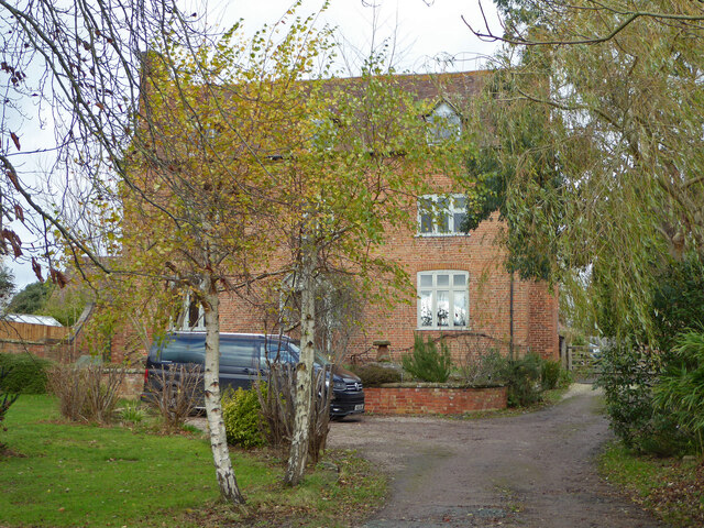
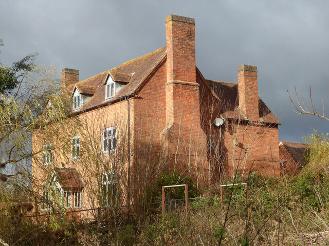
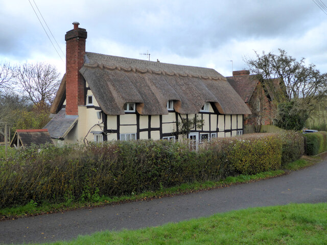
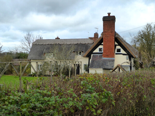
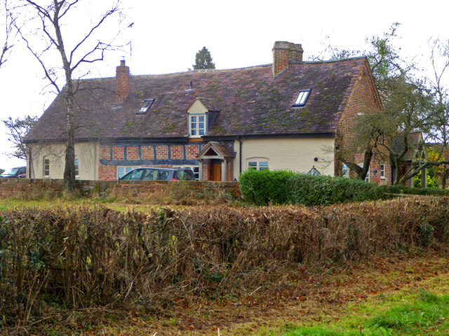
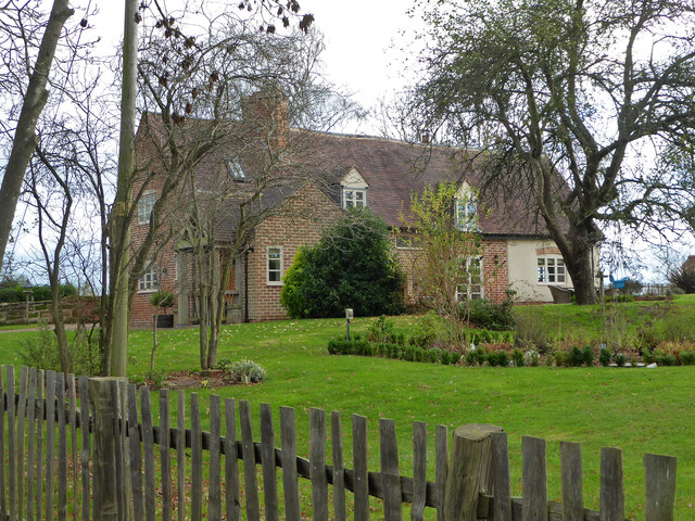
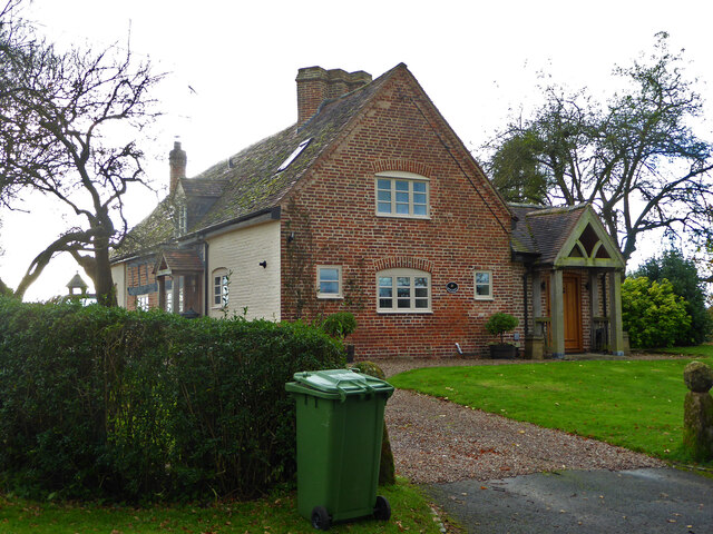
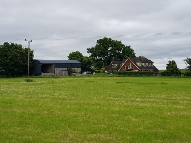
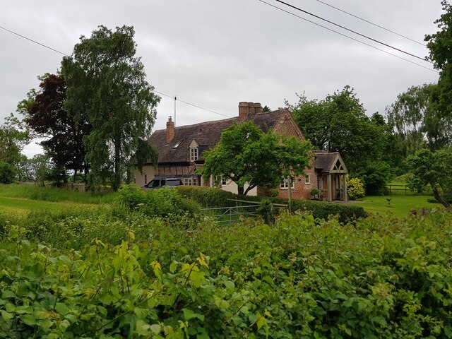
Fishpool Hill Images

Images are sourced within 2km of 52.257669/-2.0542347 or Grid Reference SO9662. Thanks to Geograph Open Source API. All images are credited.

Mere Green Farmhouse Grade II Listed. Listed as in Hanbury ward. The view from the public road. There are two further listed buildings in the complex but there are no good trespass free views.
Mere Green Farmhouse
Grade II Listed. Listed as in Hanbury ward. The view from the public road. There are two further listed buildings in the complex but there are no good trespass free views.
Mere Green Farmhouse Grade II Listed. This was the best view I could manage from a public place. The complex includes two further listed buildings but I could not get a meaningful view of those from public places.
Mere Green Farmhouse
Grade II Listed. This was the best view I could manage from a public place. The complex includes two further listed buildings but I could not get a meaningful view of those from public places.
Well Cottage, Hanbury A 17th century house with a thatched roof, Listed Grade II.
Well Cottage, Hanbury
A 17th century house with a thatched roof, Listed Grade II.
Well Cottage, Hanbury A 17th century thatched dwelling, Listed Grade II.
Well Cottage, Hanbury
A 17th century thatched dwelling, Listed Grade II.
Dovecote by Pumphouse Farm Early 17th century dovecote, Listed Grade II. Difficult to get a clear view over the hedge from the public road. There is no convenient public footpath here.
Dovecote by Pumphouse Farm
Early 17th century dovecote, Listed Grade II. Difficult to get a clear view over the hedge from the public road. There is no convenient public footpath here.
Barn at Pumphouse Farm, Hanbury Grade II Listed.
Barn at Pumphouse Farm, Hanbury
Grade II Listed.
Pumphouse Farmhouse, Hanbury Grade II Listed.
Pumphouse Farmhouse, Hanbury
Grade II Listed.
White House Cottage, Hanbury Early 18th century with late 19th and early 20th century alterations. Grade II Listed.
White House Cottage, Hanbury
Early 18th century with late 19th and early 20th century alterations. Grade II Listed.
Appleby, Hanbury An early 17th century house with late 19th and mid-20th century alterations and additions. Listed Grade II.
Appleby, Hanbury
An early 17th century house with late 19th and mid-20th century alterations and additions. Listed Grade II.
Appleby, Hanbury An early 17th century house with late 19th and mid-20th century alterations and additions. Listed Grade II.
Appleby, Hanbury
An early 17th century house with late 19th and mid-20th century alterations and additions. Listed Grade II.
Appleby, Hanbury An early 17th century house with late 19th and mid-20th century alterations and additions. Listed Grade II.
Appleby, Hanbury
An early 17th century house with late 19th and mid-20th century alterations and additions. Listed Grade II.
Public footpath off Pumphouse Lane, Hanbury Hanbury Church is seen on the hill in the background
Public footpath off Pumphouse Lane, Hanbury
Hanbury Church is seen on the hill in the background
The White House, Hanbury A large old house in this Worcestershire village. I thought at first it must be one of the local listed buildings but soon realised it does not have any statutory protection.
The White House, Hanbury
A large old house in this Worcestershire village. I thought at first it must be one of the local listed buildings but soon realised it does not have any statutory protection.
Signpost at the junction of Loggerheads Lane and Pumphouse Lane, Hanbury Hanbury Church is in the right background.
Signpost at the junction of Loggerheads Lane and Pumphouse Lane, Hanbury
Hanbury Church is in the right background.
Carters Hill House, Pumphouse Lane from the fields
Appleby, Pumphouse Lane, Hanbury
Field boundaries with oil seed rape after flowering Between Pumphouse Lane and School Road, Hanbury.
Field boundaries with oil seed rape after flowering
Between Pumphouse Lane and School Road, Hanbury.
Seeley Brook Ford
Seeley Brook Ford
Show me another place!

Fishpool Hill is located at Grid Ref: SO9662 (Lat: 52.257669, Lng: -2.0542347)

Administrative County: Worcestershire

District: Wychavon

Police Authority: West Mercia

What 3 Words

///developed.holidays.deform. Near Stoke Prior, Worcestershire

Related Wikis

Mere Green, Worcestershire

Mere Green is a hamlet in the English county of Worcestershire. It is located south of the village of Hanbury roughly midway between Worcester and Redditch...

Hanbury, Worcestershire

Hanbury is a rural village in Worcestershire, England near Droitwich Spa and the M5 motorway. The population of Hanbury has remained around 1,000 since...

Feckenham Forest

Feckenham Forest was a royal forest, centred on the village of Feckenham, covering large parts of Worcestershire and west Warwickshire. It was not entirely...

St Mary the Virgin, Hanbury

The church of St Mary the Virgin is an Anglican parish church in the village of Hanbury, Worcestershire. Its earliest parts date from about 1210 and it...

Hanbury Hall

Hanbury Hall is a large 18th-century stately home standing in parkland at Hanbury, Worcestershire. The main range has two storeys and is built of red brick...

Bradley Green, Worcestershire

Bradley Green is a village in the Wychavon district of Worcestershire, England. It is located just south of the town of Redditch and south of Feckenham...

Earls Common

Earls Common is a village in Worcestershire, England. Villages nearby include Himbleton and Stock Green.

Droitwich Road railway station

Droitwich Road railway station served the town of Droitwich Spa, Worcestershire, England, from 1840 to 1855 on the Birmingham and Gloucester Railway....

Nearby Amenities

Located within 500m of 52.257669,-2.0542347
Power: pole
Lat/Long: 52.2604642/-2.0505984
Power: pole
Lat/Long: 52.2613638/-2.0522265
Power: pole
Lat/Long: 52.2608516/-2.0513991
Park Farm
Power: pole
Transformer: distribution
Voltage Primary: 11000
Lat/Long: 52.259246/-2.049901
Power: pole
Lat/Long: 52.2600714/-2.0497824
Power: pole
Lat/Long: 52.2598017/-2.0485634
Power: pole
Lat/Long: 52.2596177/-2.047732
The data included in this document is from www.openstreetmap.org. The data is made available under ODbL.

Have you been to Fishpool Hill?

Leave your review of Fishpool Hill below (or comments, questions and feedback).