Wigan's Knoll

Hill, Mountain in Staffordshire Stafford

England

Wigan's Knoll

Sandon Lone Tree A view in the Sandon Estate.
Sandon Lone Tree Credit: Gordon Griffiths

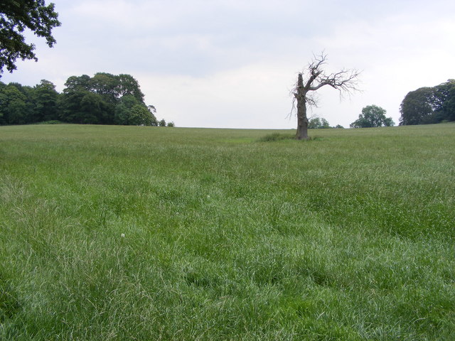
Wigan's Knoll is a prominent hill located in Staffordshire, England. Rising to an elevation of approximately 240 meters (787 feet), it is part of the scenic landscape of the county. The hill is situated near the town of Wigan, which gives it its name.

Wigan's Knoll is composed of various geological formations, including sandstone and limestone. Its unique composition contributes to its distinctive appearance and makes it a significant landmark in the region. The hill offers breathtaking views of the surrounding countryside, with rolling fields and picturesque villages stretching out in all directions.

The area surrounding Wigan's Knoll is a haven for outdoor enthusiasts and nature lovers. The hill is home to a diverse range of wildlife, including birds, small mammals, and rare plant species. It provides an ideal habitat for various flora and fauna, making it a popular destination for nature walks and hikes.

Additionally, Wigan's Knoll has historical importance. It has been the site of archaeological discoveries, including ancient artifacts and remnants of settlements dating back to the Bronze Age. These findings indicate that the hill has been inhabited for thousands of years, adding an aura of mystery and intrigue to its already captivating allure.

Overall, Wigan's Knoll is a notable feature of the Staffordshire landscape, offering stunning views, abundant wildlife, and a glimpse into the region's rich history. Whether for leisurely walks, wildlife spotting, or exploring archaeological remains, this hill is a must-visit destination for those seeking to immerse themselves in the natural and cultural wonders of Staffordshire.

If you have any feedback on the listing, please let us know in the comments section below.

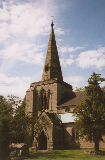
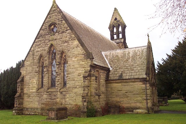
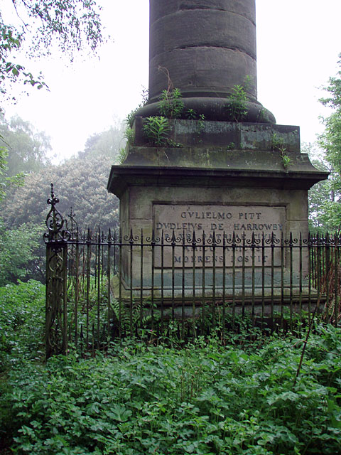
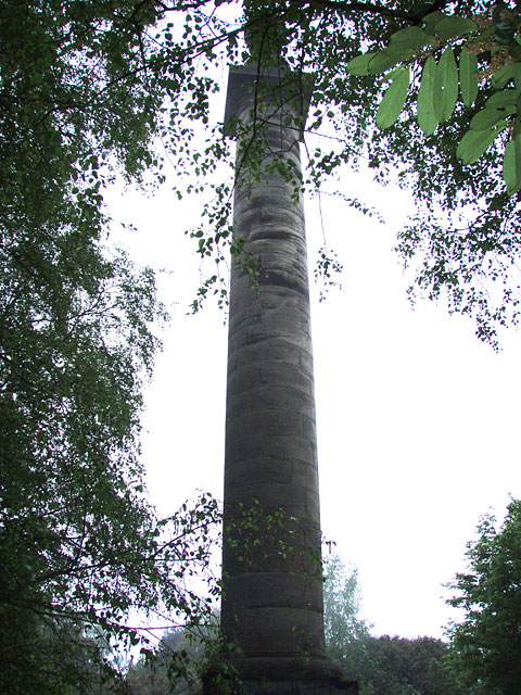
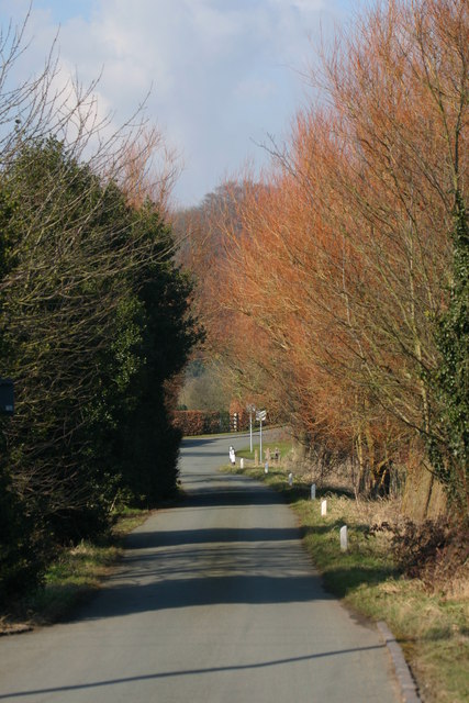
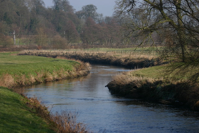
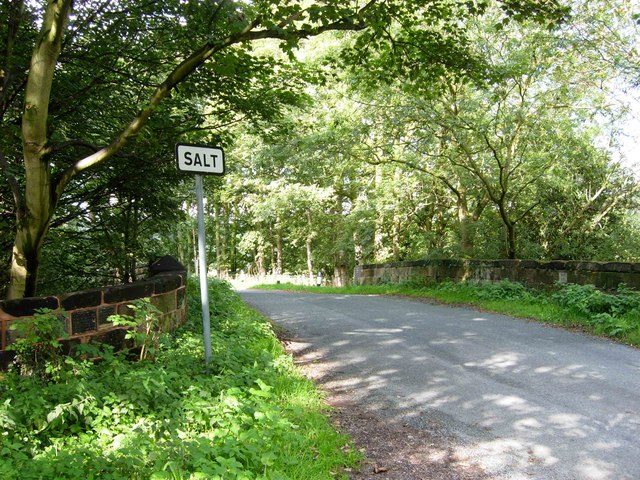
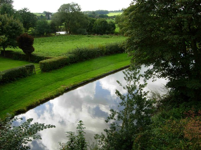
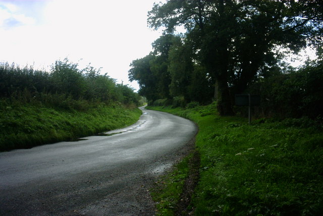
Wigan's Knoll Images

Images are sourced within 2km of 52.852688/-2.0551106 or Grid Reference SJ9628. Thanks to Geograph Open Source API. All images are credited.

Sandon Lone Tree A view in the Sandon Estate.
Sandon Lone Tree
A view in the Sandon Estate.
Weston upon Trent Church St Andrew's Church has an very broad tower in Early English style, and there is other early 13C work inside, but the remainder of the exterior is Victorian, of 1860 and 1872.
Weston upon Trent Church
St Andrew's Church has an very broad tower in Early English style, and there is other early 13C work inside, but the remainder of the exterior is Victorian, of 1860 and 1872.
St. Peter, Gayton
St. Peter, Gayton
St. James the Great, Salt
Pitt's Column Abandoned and hidden in the trees, this is a memorial column to William Pitt the Younger. Erected in the year of his death (1806).
Pitt's Column
Abandoned and hidden in the trees, this is a memorial column to William Pitt the Younger. Erected in the year of his death (1806).
Pitt's Column More general view of the memorial.
Pitt's Column
More general view of the memorial.
The Casey, Salt Looking North towards the Trent and Mersey Canal and the A51 from the River Trent Bridge at Salt.
The Casey, Salt
Looking North towards the Trent and Mersey Canal and the A51 from the River Trent Bridge at Salt.
The river Trent, Salt This is the River Trent taken from the Bridge facing East, in the background are trees on the Sandon Estate, a railway line can just be seen but hidden from view is the Trent and Mersey canal and the A51.
The river Trent, Salt
This is the River Trent taken from the Bridge facing East, in the background are trees on the Sandon Estate, a railway line can just be seen but hidden from view is the Trent and Mersey canal and the A51.
Salt At this point the road from Weston to Salt doglegs across a bridge over an overgrown cutting that was once the Great Northern Railway's Uttoxeter - Stafford branch line, abandoned in 1951.
Salt
At this point the road from Weston to Salt doglegs across a bridge over an overgrown cutting that was once the Great Northern Railway's Uttoxeter - Stafford branch line, abandoned in 1951.
Trent & Mersey Canal, Salt At this point the canal is sandwiched between the River Trent (just visible beyond the field), the Colwich - Stone railway and the A51 (out of shot to the right).
Trent & Mersey Canal, Salt
At this point the canal is sandwiched between the River Trent (just visible beyond the field), the Colwich - Stone railway and the A51 (out of shot to the right).
Un-named Lane to A51 near Weston, Stafford This country lane is leading towards the A51 near to Weston, near Stafford.  Going in the other direction takes you to Gayton, a small hamlet surrounded by lovely countryside.
Un-named Lane to A51 near Weston, Stafford
This country lane is leading towards the A51 near to Weston, near Stafford. Going in the other direction takes you to Gayton, a small hamlet surrounded by lovely countryside.
Cherry Lane Cherry Lane in Gayton is a footpath as well as being home to a bus shelter and a post box.
Cherry Lane
Cherry Lane in Gayton is a footpath as well as being home to a bus shelter and a post box.
A518, Weston Bank This is the A518 looking towards the direction of Weston near Stafford.
A518, Weston Bank
This is the A518 looking towards the direction of Weston near Stafford.
Woodland Bridleway This is a beautiful countryside area just off the A518 near to Weston Bank.
Woodland Bridleway
This is a beautiful countryside area just off the A518 near to Weston Bank.
Tinkerborough Cottages Cottages in a lovely off road area called Tinkerborough, near Stafford
Tinkerborough Cottages
Cottages in a lovely off road area called Tinkerborough, near Stafford
Lane and Bridleway This lane and Bridleway leads to Barn House, seen in the mid-distance. The bridleway continues to Salt.
Lane and Bridleway
This lane and Bridleway leads to Barn House, seen in the mid-distance. The bridleway continues to Salt.
Beautiful Staffordshire Countryside This is a view of beautiful Staffordshire countryside from a lane and bridleway just off the A518 near to Stafford.
Beautiful Staffordshire Countryside
This is a view of beautiful Staffordshire countryside from a lane and bridleway just off the A518 near to Stafford.
A518 Weston Bank This is a view of the A518 leading to Weston. The road drops steeply downhill here to the village of Weston. Glorious views of the Trent Valley and surrounding countryside can be seen from here.
A518 Weston Bank
This is a view of the A518 leading to Weston. The road drops steeply downhill here to the village of Weston. Glorious views of the Trent Valley and surrounding countryside can be seen from here.
Show me another place!

Wigan's Knoll is located at Grid Ref: SJ9628 (Lat: 52.852688, Lng: -2.0551106)

Administrative County: Staffordshire

District: Stafford

Police Authority: Staffordshire

What 3 Words

///obvious.crossings.crouch. Near Great Haywood, Staffordshire

Related Wikis

Sandon Hall

Sandon Hall is a 19th-century country mansion, the seat of the Earl of Harrowby, at Sandon, Staffordshire, 5 miles (8.0 km) northeast of Stafford. It is...

Salt and Sandon railway station

Salt and Sandon railway station was a former British railway station opened by the Stafford and Uttoxeter Railway to serve the village of Salt in Staffordshire...

Salt, Staffordshire

Salt is a village in the Borough of Stafford in Staffordshire, England. It is three miles northeast of Stafford situated half a mile southwest of the A51...

Weston, Staffordshire

Weston is a village and civil parish. within the English county of Staffordshire. The parish is in the local authority of Stafford (non-metropolitan district...

Weston and Ingestre railway station

Weston and Ingestre railway station was a former British railway station opened by the North Staffordshire Railway to serve the village of Ingestre in...

Gayton, Staffordshire

Gayton is a small rural village and civil parish in Staffordshire, located approximately 1 mile from the A51 between Stone and Stafford. In 2001 it had...

Sandon railway station

Sandon railway station was a railway station opened by the North Staffordshire Railway to serve the village of Sandon, Staffordshire, England. For some...

Sandon, Staffordshire

Sandon is a village in the civil parish of Sandon and Burston, in the Stafford district, in the county of Staffordshire, England. It is about 4.5 miles...

Nearby Amenities

Located within 500m of 52.852688,-2.0551106
Waterway: turning_point
Lat/Long: 52.8487064/-2.0540233
Addr Housename: Home Farm Lodge
Lat/Long: 52.851825/-2.0613957
Power: pole
Lat/Long: 52.8490141/-2.0517845
Power: pole
Lat/Long: 52.8492165/-2.05286
Power: pole
Lat/Long: 52.8496215/-2.0526106
The data included in this document is from www.openstreetmap.org. The data is made available under ODbL.

Have you been to Wigan's Knoll?

Leave your review of Wigan's Knoll below (or comments, questions and feedback).