Kensal Green
Settlement in Middlesex
England
Kensal Green

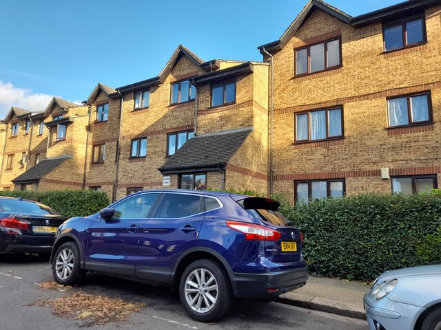
Kensal Green is a district located in the borough of Brent, in the northwestern part of London, England. Historically part of the county of Middlesex, Kensal Green is situated approximately 4.5 miles northwest of Charing Cross. The area is primarily residential and features a diverse community with a mix of Victorian terraced houses, modern apartments, and social housing.
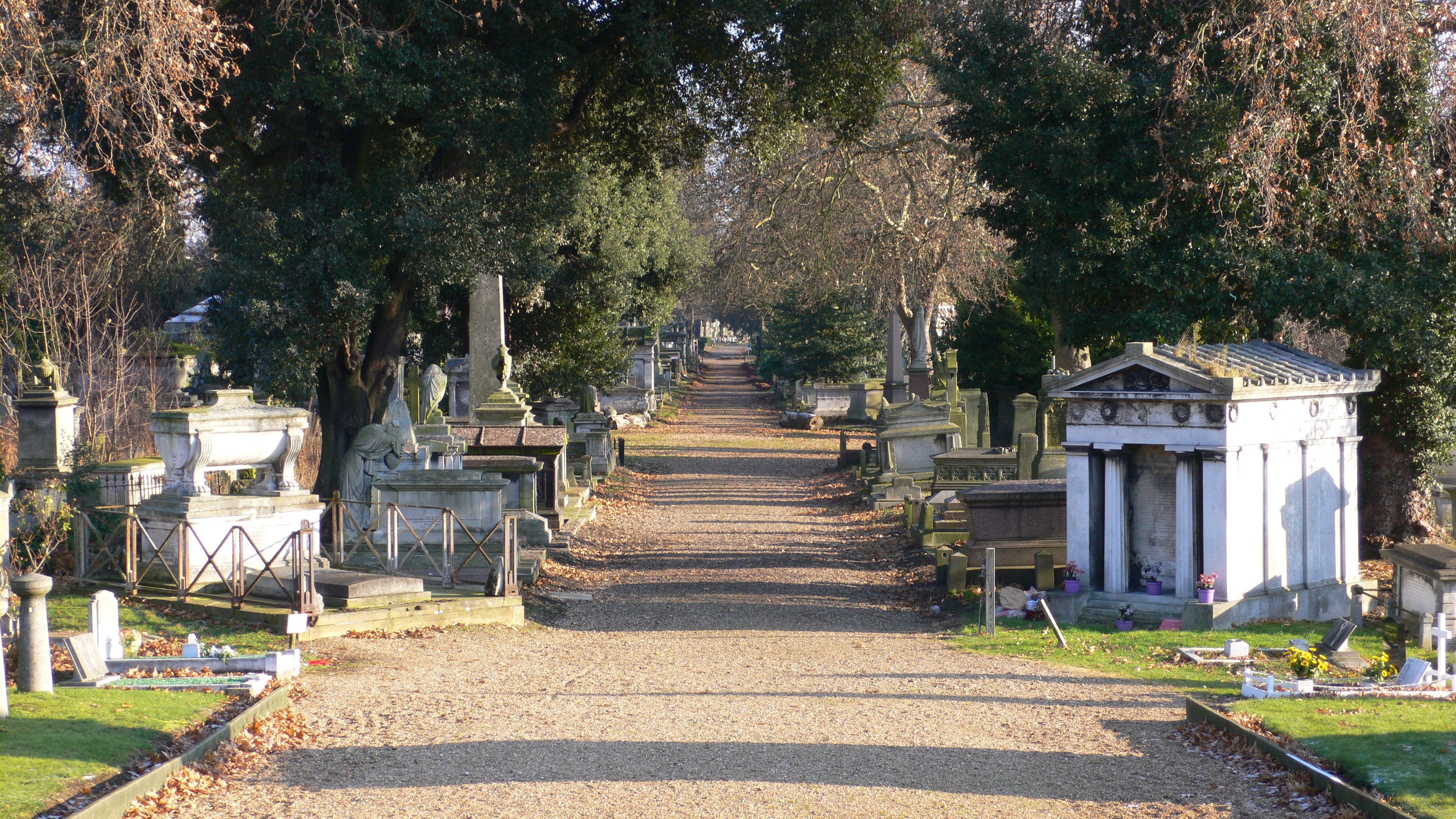
One of the notable landmarks in Kensal Green is the Kensal Green Cemetery, which is one of the oldest and most prestigious burial grounds in London. Established in 1832, it is the final resting place of numerous notable figures, including politicians, writers, artists, and members of the British aristocracy. The cemetery's architecture and landscaping make it a popular destination for history enthusiasts and those seeking a peaceful atmosphere.
Kensal Green is well-connected to the rest of London through various transportation links. The Kensal Green tube station, served by the Bakerloo Line, provides easy access to central London, while several bus routes pass through the area. Additionally, Kensal Rise Overground station offers connections to Clapham Junction, Richmond, and Stratford.
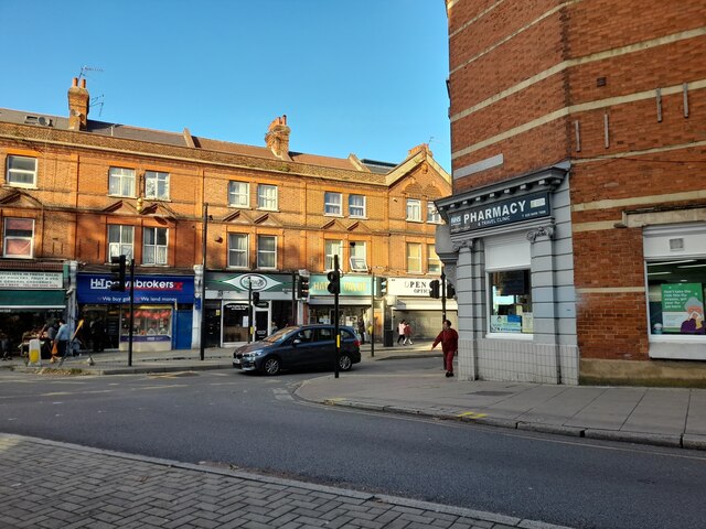
The district is known for its vibrant and diverse community, with a range of local amenities such as shops, restaurants, and cafes. It also boasts several parks and green spaces, including Queen's Park and Roundwood Park, providing residents with opportunities for leisure activities and relaxation.
Overall, Kensal Green offers a mix of historical significance, convenient transport links, and a thriving community, making it an attractive place to live and visit within the greater London area.
If you have any feedback on the listing, please let us know in the comments section below.
Kensal Green Images
Images are sourced within 2km of 51.530635/-0.225439 or Grid Reference TQ2382. Thanks to Geograph Open Source API. All images are credited.


Kensal Green is located at Grid Ref: TQ2382 (Lat: 51.530635, Lng: -0.225439)
Unitary Authority: Brent
Police Authority: Metropolitan
What 3 Words
///direct.lamp.charm. Near Bayswater, London
Nearby Locations
Related Wikis
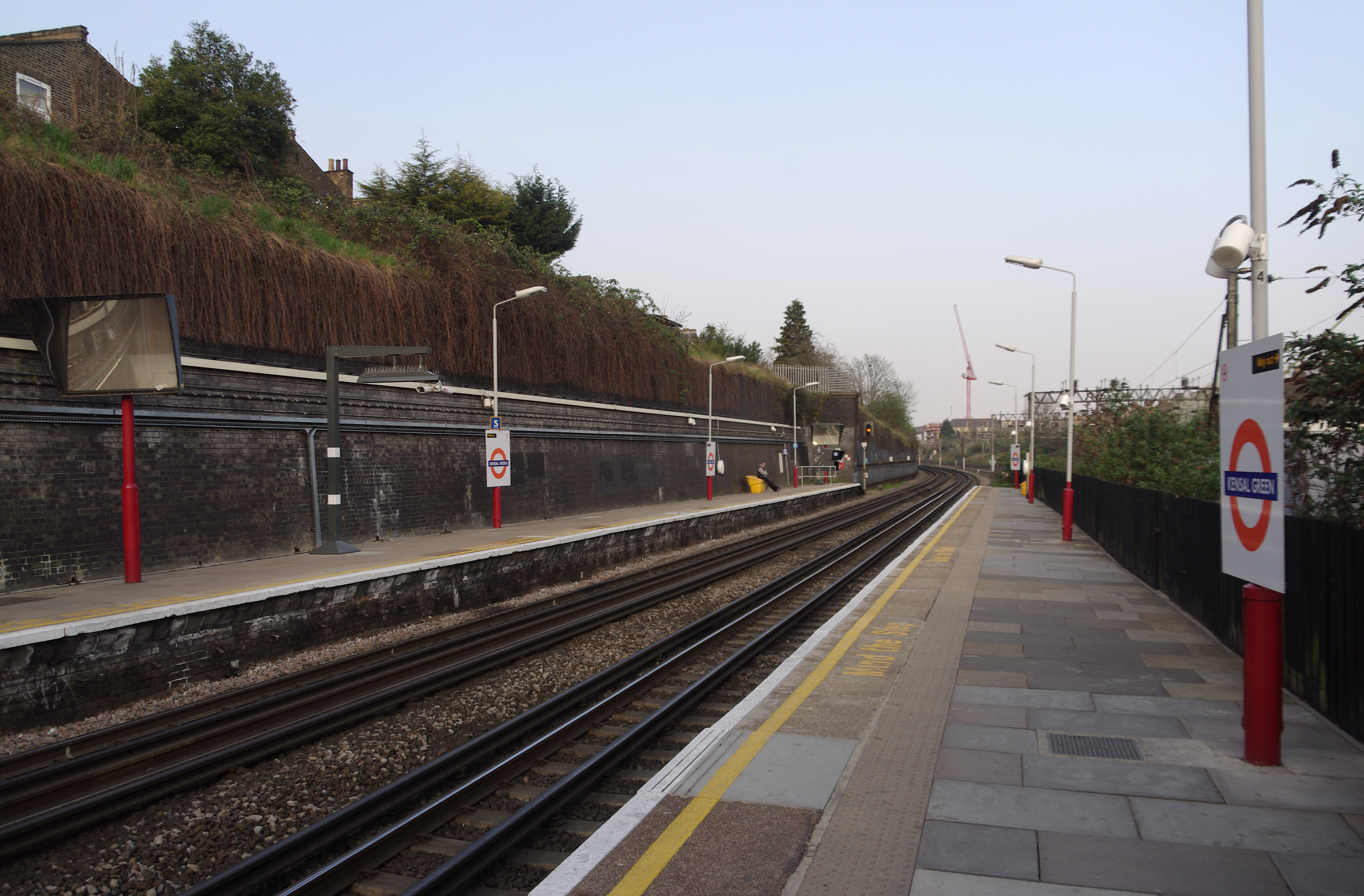
Kensal Green station
Kensal Green is a railway station served by London Underground Bakerloo line and London Overground trains. It is located in College Road, London NW10 close...

Kensal Green
Kensal Green is an area in north-west London and along with Kensal Town forms part of northern section of North Kensington. It lies north of the canal...
Kensal Green Cemetery
Kensal Green Cemetery is a cemetery in the Kensal Green area of North Kensington in the Royal Borough of Kensington and Chelsea and the London Borough...

Kensal Rise Library
Kensal Rise Library is a public library in London, England, opened by American author Mark Twain in 1900. The site was donated by All Souls College, Oxford...
Nearby Amenities
Located within 500m of 51.530635,-0.225439Have you been to Kensal Green?
Leave your review of Kensal Green below (or comments, questions and feedback).