Winkelbury Hill
Hill, Mountain in Wiltshire
England
Winkelbury Hill
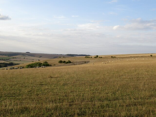
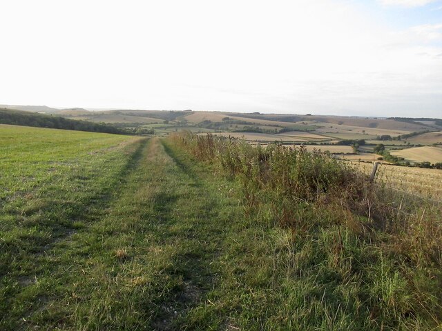
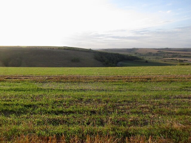
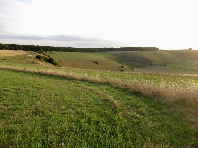
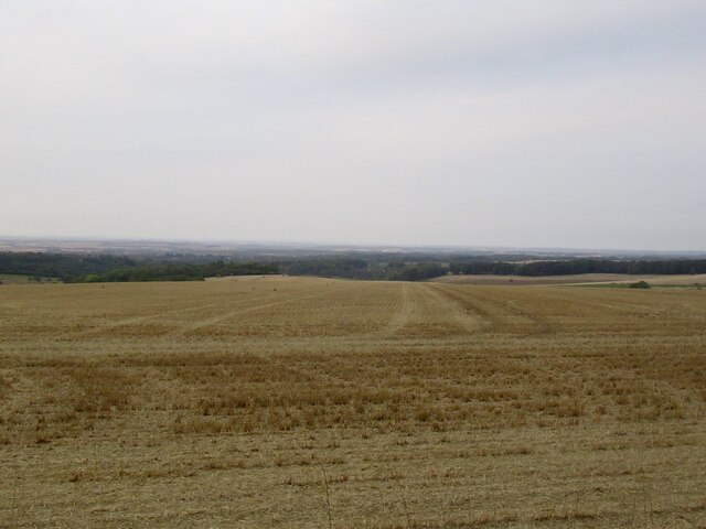
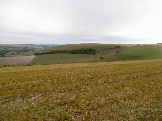
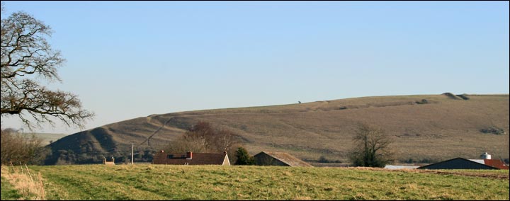
Winkelbury Hill is a prominent hill located in the county of Wiltshire, England. Rising to an elevation of approximately 243 meters (797 feet), it is situated near the village of Tidworth, about 20 kilometers (12 miles) northeast of Salisbury. The hill is a notable landmark in the area, offering commanding views of the surrounding countryside.
The hill is believed to have been occupied since the Iron Age, with evidence of an ancient hillfort present on its summit. The fortification, known as Winkelbury Camp, is an oval-shaped earthwork measuring approximately 280 meters by 170 meters (919 feet by 558 feet). It is encircled by a double bank and ditch, offering a defensive position and a vantage point to observe the surrounding landscape.
Winkelbury Hill and its hillfort have attracted archaeological interest, with excavations revealing remnants of Iron Age pottery and other artifacts. The hillfort is thought to have been occupied between the 6th and 1st centuries BCE, and it is speculated that it may have served as a tribal stronghold or a regional center.
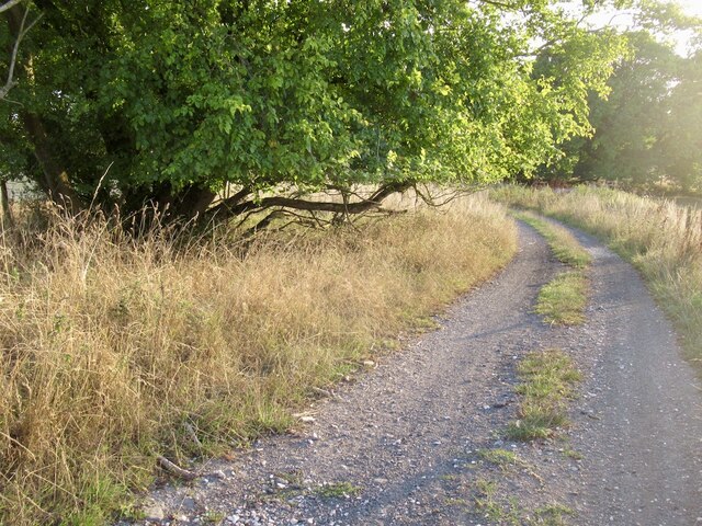
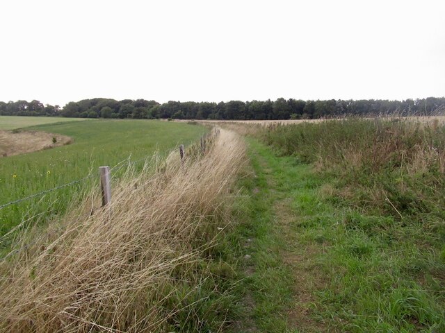
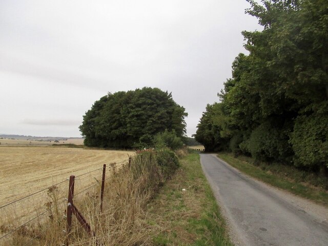
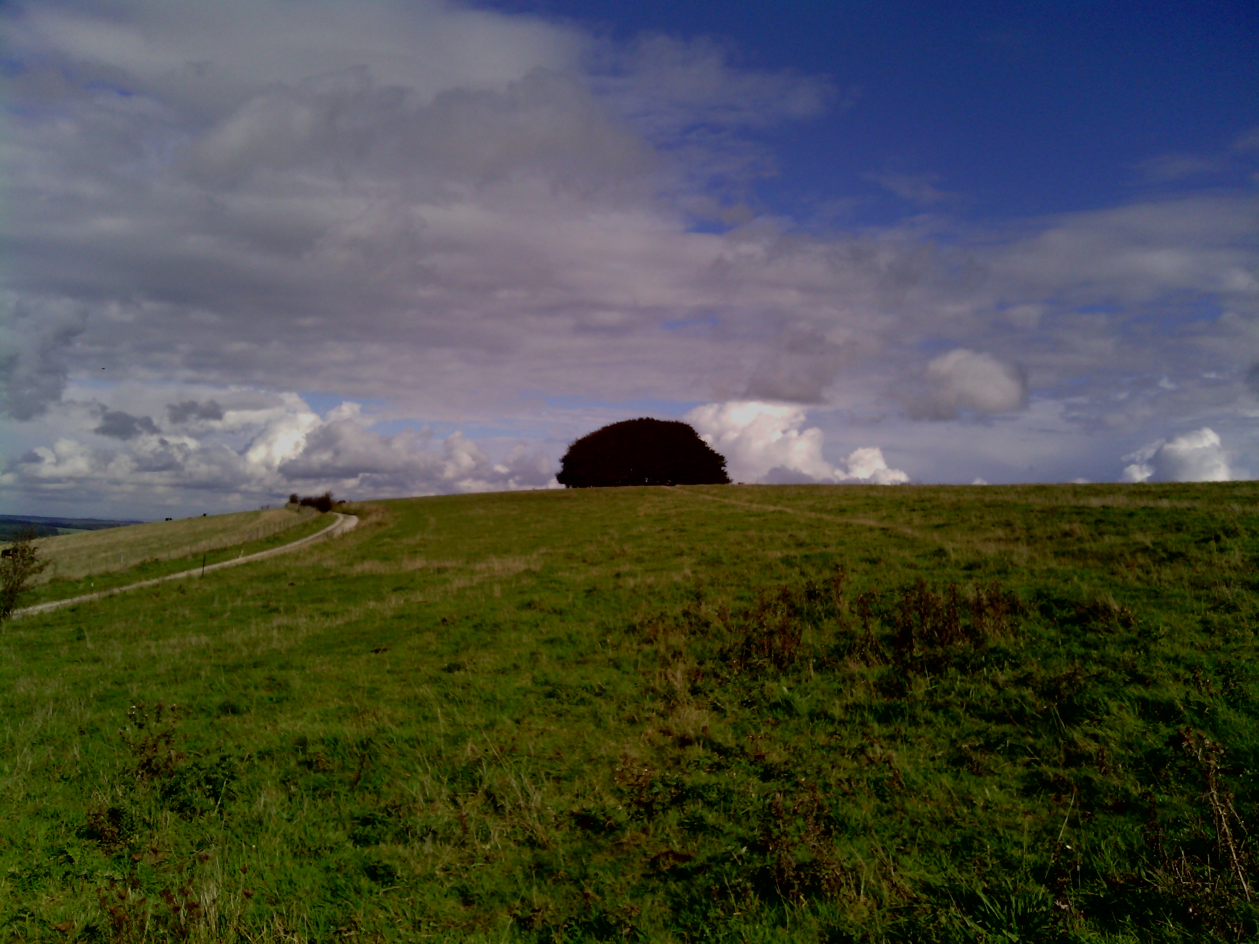
Today, Winkelbury Hill and its hillfort are accessible to the public, providing an opportunity for visitors to explore the ancient monument and enjoy the panoramic views it offers. The hill is a popular spot for hikers, walkers, and history enthusiasts, who can immerse themselves in the rich heritage of the area and appreciate the natural beauty of Wiltshire's countryside.
If you have any feedback on the listing, please let us know in the comments section below.
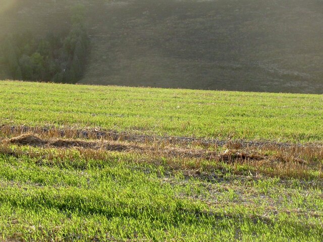
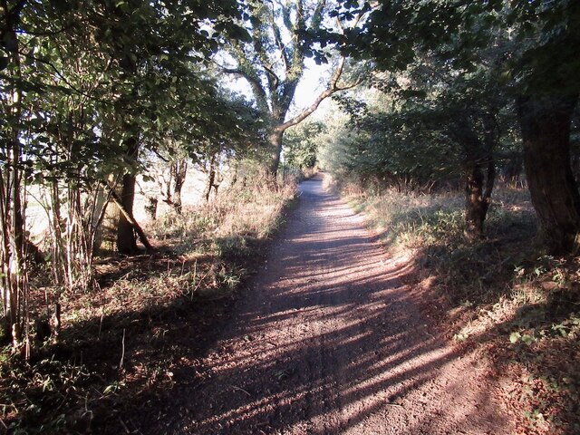
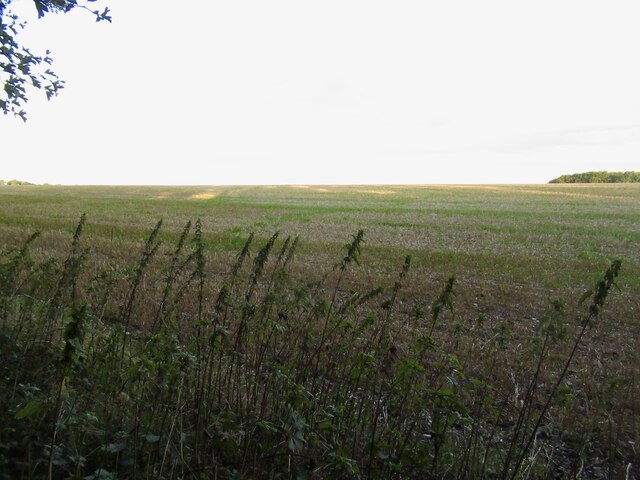
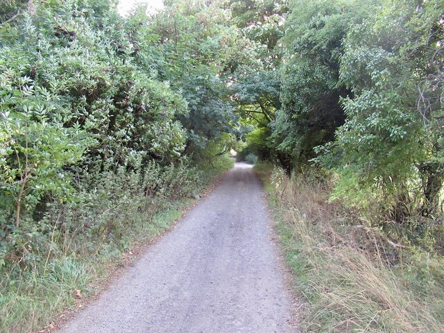
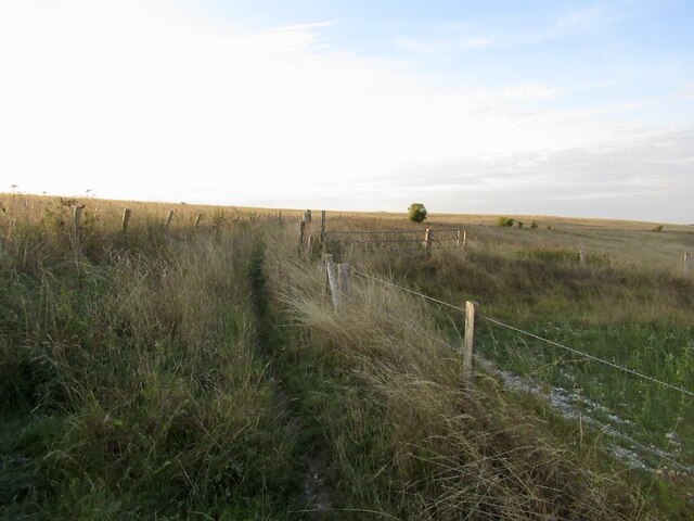
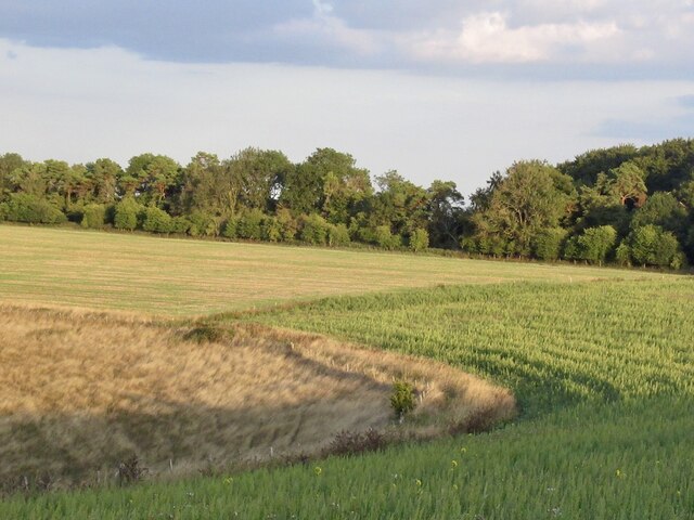
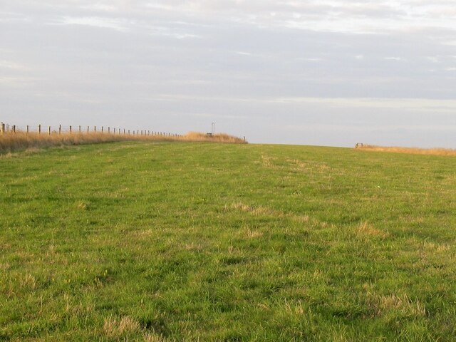
Winkelbury Hill Images
Images are sourced within 2km of 50.990654/-2.0716873 or Grid Reference ST9521. Thanks to Geograph Open Source API. All images are credited.


Winkelbury Hill is located at Grid Ref: ST9521 (Lat: 50.990654, Lng: -2.0716873)
Unitary Authority: Wiltshire
Police Authority: Wiltshire
What 3 Words
///unlisted.explain.shops. Near Ansty, Wiltshire
Nearby Locations
Related Wikis


Nearby Amenities
Located within 500m of 50.990654,-2.0716873Have you been to Winkelbury Hill?
Leave your review of Winkelbury Hill below (or comments, questions and feedback).