West Ivers Wood
Wood, Forest in Wiltshire
England
West Ivers Wood

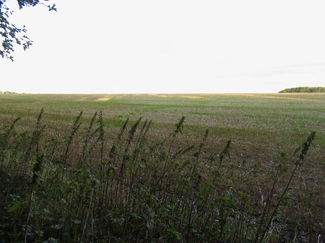
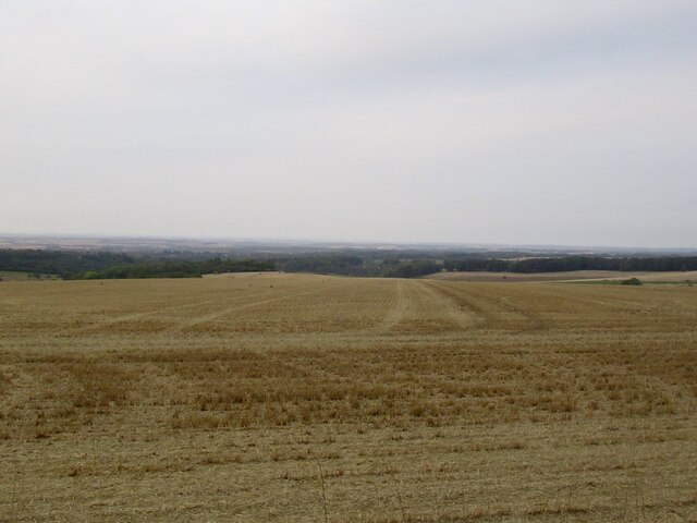
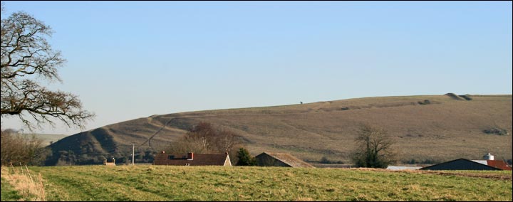
West Ivers Wood is a picturesque forest located in the county of Wiltshire, England. Spanning over a vast area, it is a remarkable natural wonder that attracts visitors from all over the world. The wood is situated in the western part of the county, surrounded by rolling hills and beautiful countryside.
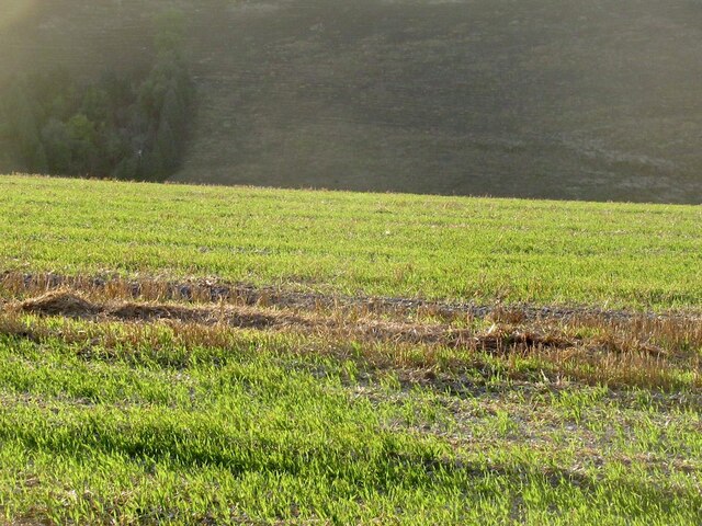
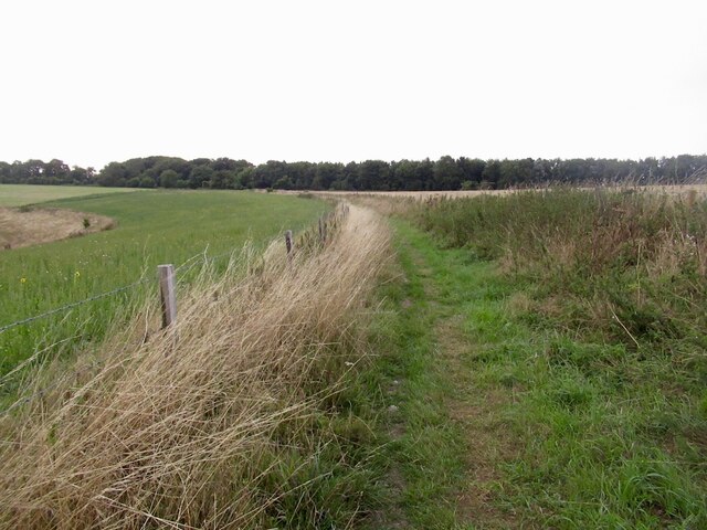
Characterized by its dense canopy of trees, West Ivers Wood is primarily composed of broadleaf species, including oak, ash, beech, and birch. The forest floor is covered with a diverse array of flora, such as bluebells, ferns, and wild garlic, creating a vibrant and enchanting atmosphere. The wood is home to a variety of wildlife, including deer, badgers, foxes, and a wide range of bird species, making it a haven for nature enthusiasts and birdwatchers.
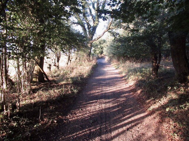
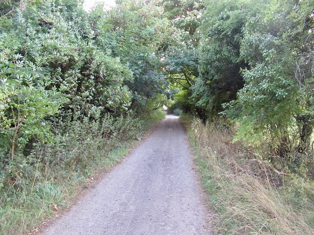
Trails and footpaths meander through the forest, offering visitors the opportunity to explore its natural beauty. The wood is particularly popular for hiking, cycling, and nature walks. Its serene ambiance and stunning scenery make it an ideal location for relaxation and escapism from the hustle and bustle of everyday life.
West Ivers Wood holds historical significance, with evidence of human activity dating back centuries. It is believed that the forest has been managed by local communities for centuries, providing timber and other resources. Today, the wood is protected and managed by the local authorities to ensure its preservation for future generations.
In conclusion, West Ivers Wood is a captivating forest in Wiltshire, offering a tranquil and immersive experience in nature. Its rich biodiversity, scenic beauty, and cultural heritage make it a must-visit destination for anyone seeking solace in the great outdoors.
If you have any feedback on the listing, please let us know in the comments section below.
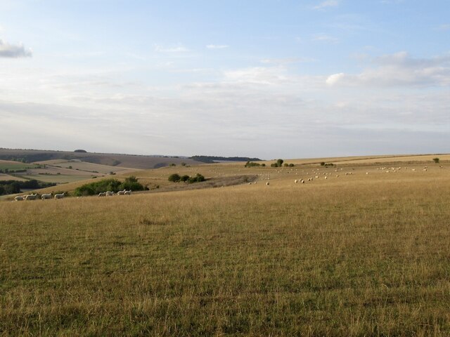
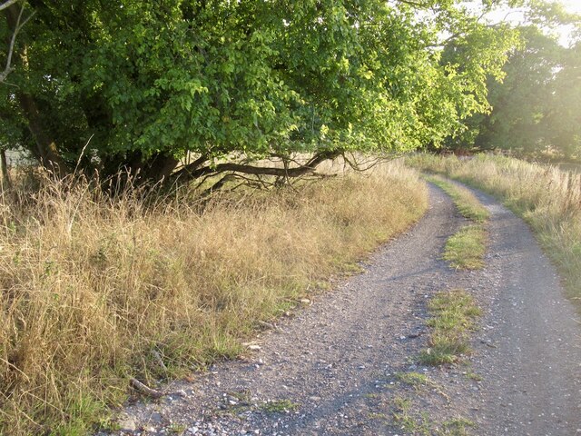
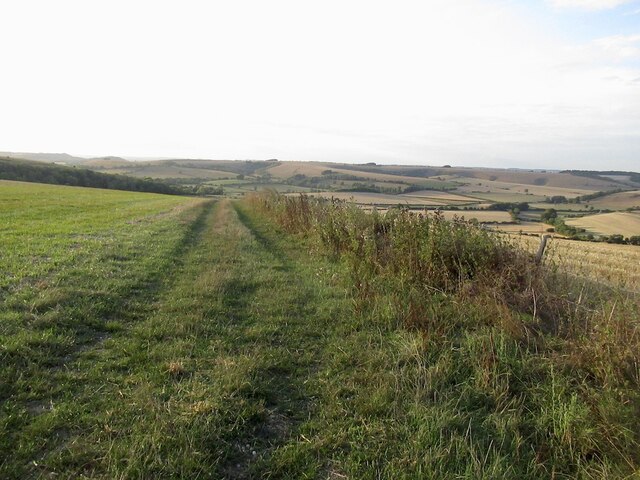
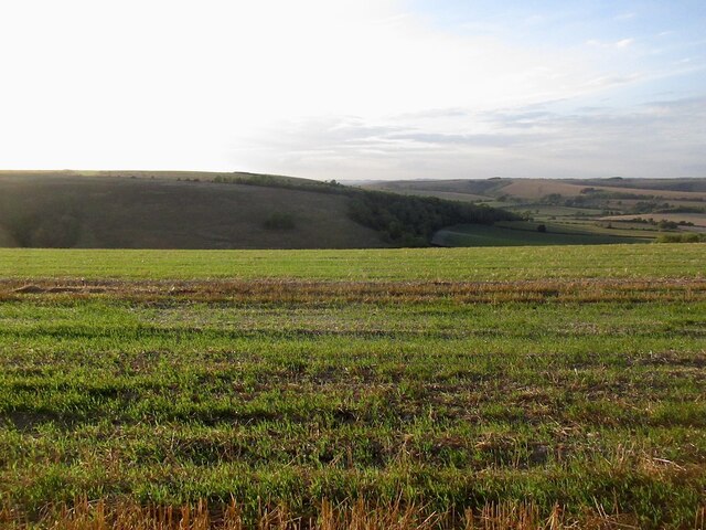
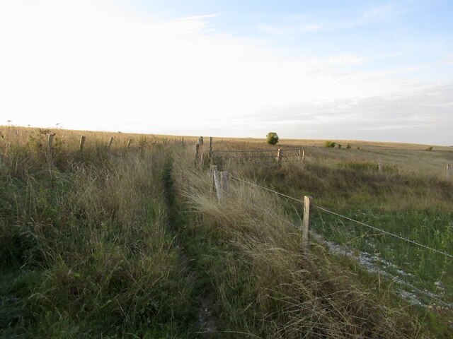
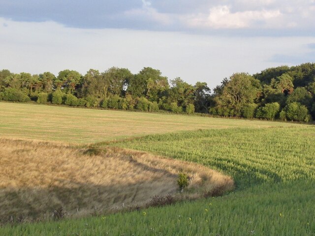
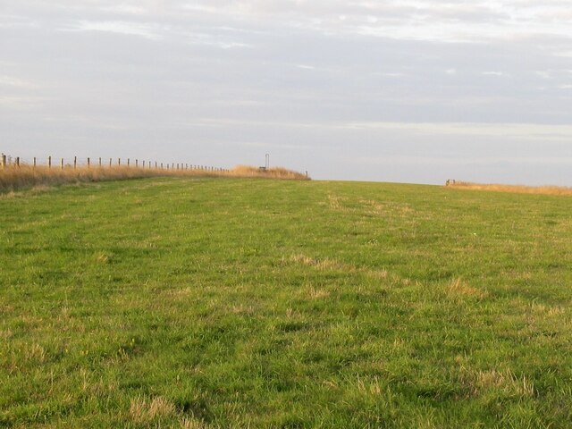
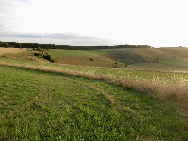
West Ivers Wood Images
Images are sourced within 2km of 50.994164/-2.0658364 or Grid Reference ST9521. Thanks to Geograph Open Source API. All images are credited.


West Ivers Wood is located at Grid Ref: ST9521 (Lat: 50.994164, Lng: -2.0658364)
Unitary Authority: Wiltshire
Police Authority: Wiltshire
What 3 Words
///clarifies.aimed.friday. Near Ansty, Wiltshire
Nearby Locations
Related Wikis
Winklebury Hill
Winkelbury Hill (grid reference ST952216) is a 62.95 hectare biological Site of Special Scientific Interest in Berwick St John parish, south-west Wiltshire...
Berwick St John
Berwick St John is a village and civil parish in southwest Wiltshire, England, about 5 miles (8 km) east of Shaftesbury in Dorset. The parish includes...

Pincombe Down
Pincombe Down (grid reference ST966217) is a 23.8 hectare biological Site of Special Scientific Interest in southwest Wiltshire, England, notified in 1971...

Rotherley Downs
Rotherley Downs (grid reference ST946196) is a 120.05 hectare biological Site of Special Scientific Interest in Wiltshire, England, notified in 1989. The...
Rotherley Down Settlement
Rotherley Down Settlement is an archaeological site of the late Iron Age and Romano-British period on Cranborne Chase, England. It is about 1.5 miles...

Ferne House
Ferne House is a country house in the parish of Donhead St Andrew in Wiltshire, England, owned by Viscount Rothermere.There has been a settlement on the...

Ashcombe House, Wiltshire
Ashcombe House, also known as Ashcombe Park, is a Georgian manor house, set in 1,134 acres (4.59 km2) of land on Cranborne Chase in the parish of Berwick...

Gallows Hill SSSI, Wiltshire
Gallows Hill SSSI is a Site of Special Scientific Interest on the north side of the Ebble Valley in south Wiltshire, England. Its chalk grassland and scrub...
Nearby Amenities
Located within 500m of 50.994164,-2.0658364Have you been to West Ivers Wood?
Leave your review of West Ivers Wood below (or comments, questions and feedback).