Kennythorpe
Settlement in Yorkshire Ryedale
England
Kennythorpe
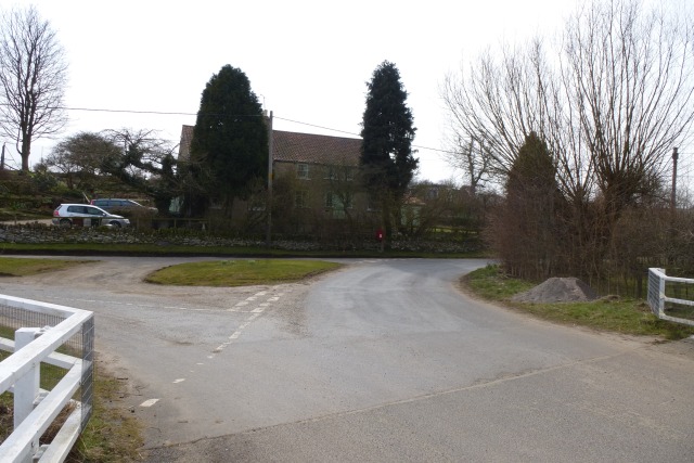
Kennythorpe is a picturesque village located in the county of Yorkshire, England. Situated in the heart of the Howardian Hills, an Area of Outstanding Natural Beauty, Kennythorpe offers residents and visitors alike a tranquil and idyllic setting.
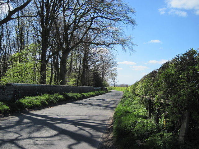
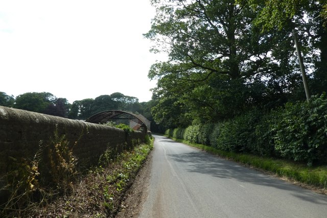
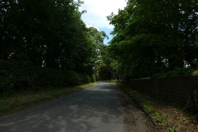
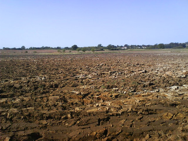
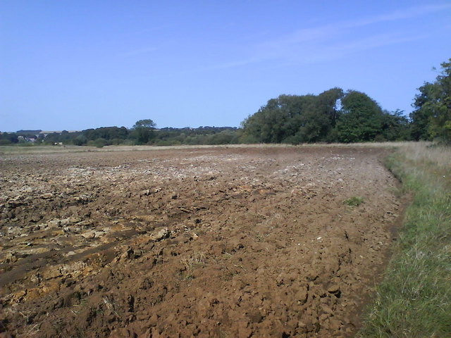
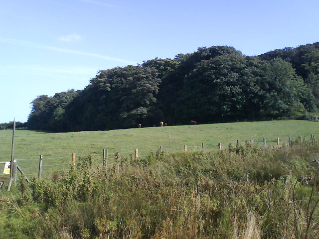
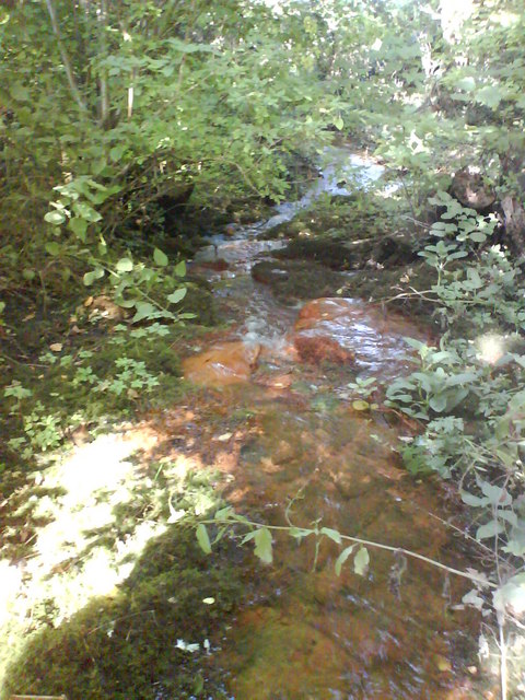
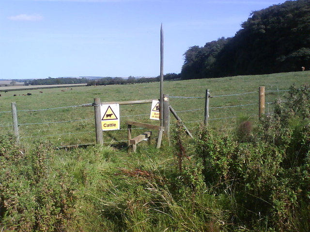
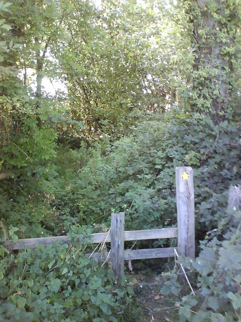
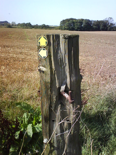
The village is known for its charming countryside landscapes, with rolling hills, lush green fields, and ancient woodlands, making it popular among nature enthusiasts and hikers. The nearby River Derwent adds to the scenic beauty of the area, providing opportunities for fishing and leisurely walks along its banks.
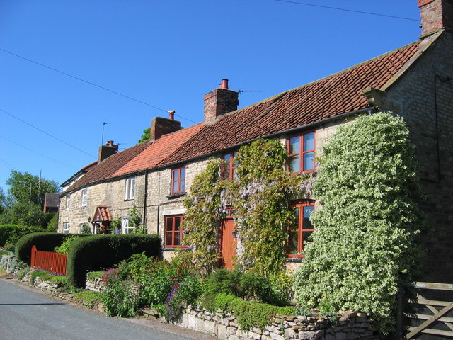
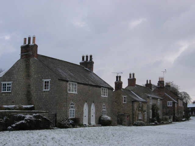
Architectural gems can be found throughout Kennythorpe, with a mix of historical and modern buildings. The village church, St. Mary's, is a notable landmark, dating back to the 12th century and displaying impressive Norman architecture. The village also boasts several well-preserved farmhouses and cottages, showcasing the traditional charm of rural Yorkshire.
While Kennythorpe is primarily a residential area, it offers a range of amenities for its residents. These include a local pub, The Howard Arms, which serves as a social hub for the community. The village also has a small convenience store, providing essential groceries and supplies.
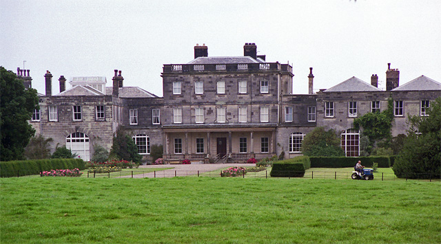
For those seeking cultural experiences, Kennythorpe is conveniently located within a short distance of several historic attractions. Castle Howard, a magnificent stately home and gardens, is just a stone's throw away, offering visitors a glimpse into the grandeur of the past.
Overall, Kennythorpe's natural beauty, historic charm, and convenient location make it an attractive place to live or visit for those seeking a peaceful and scenic retreat in the heart of Yorkshire.
If you have any feedback on the listing, please let us know in the comments section below.
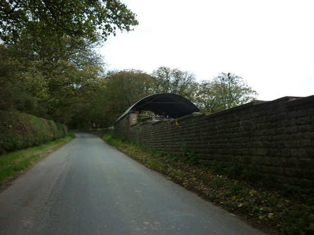
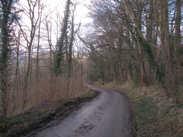
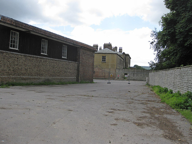
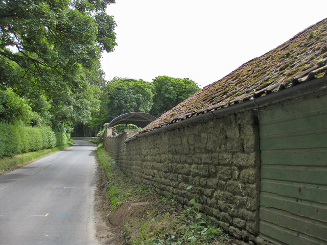
Kennythorpe Images
Images are sourced within 2km of 54.083709/-0.796152 or Grid Reference SE7865. Thanks to Geograph Open Source API. All images are credited.


Kennythorpe is located at Grid Ref: SE7865 (Lat: 54.083709, Lng: -0.796152)
Division: East Riding
Administrative County: North Yorkshire
District: Ryedale
Police Authority: North Yorkshire
What 3 Words
///sampled.immediate.trinkets. Near Norton, North Yorkshire
Nearby Locations
Related Wikis

Kennythorpe
Kennythorpe is a hamlet in the civil parish of Burythorpe, North Yorkshire, England. It is 4 miles (6 km) south from Malton, and between the village of...
Burythorpe
Burythorpe is a village and civil parish in North Yorkshire, England, about 4 miles (6 km) south of Malton. According to the 2001 census it had a population...

Eddlethorpe
Eddlethorpe is a hamlet in North Yorkshire, England. It is approximately 4 miles (6 km) south from Malton, and between the village of Langton to the east...
Langton, North Yorkshire
Langton is a village and civil parish in North Yorkshire, England. It is situated 3.5 miles (6 km) south from the market town of Malton. The population...

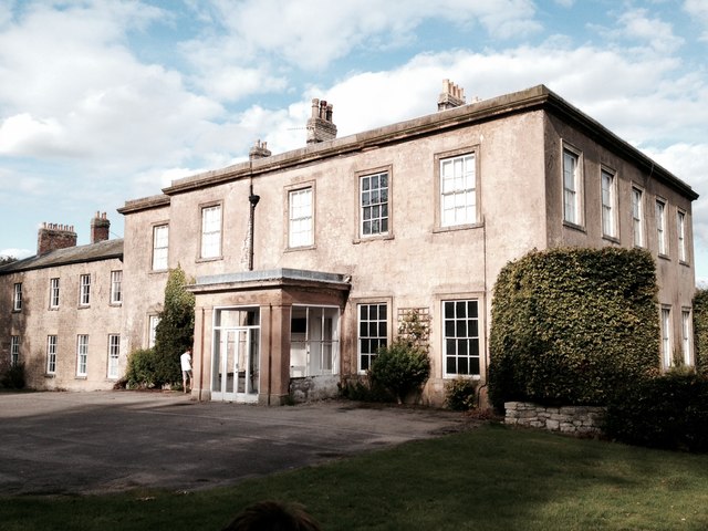
Woodleigh School, North Yorkshire
Woodleigh School was a preparatory school for boys and girls aged 3 to 13, located in the village of Langton, North Yorkshire, England. It was established...
Menethorpe
Menethorpe is a hamlet and former civil parish, now in the parish of Burythorpe, in North Yorkshire, England. In 1931 the parish had a population of 68...
Birdsall House
Birdsall House is an English country house in Birdsall, North Yorkshire. It is a Grade II* listed building.The house dates from the late 16th century but...

Leavening, North Yorkshire
Leavening is a village and civil parish in the Ryedale district of North Yorkshire, England. The village is situated approximately 13 miles (20 km) north...
Nearby Amenities
Located within 500m of 54.083709,-0.796152Have you been to Kennythorpe?
Leave your review of Kennythorpe below (or comments, questions and feedback).