Broad Hill

Hill, Mountain in Aberdeenshire

Scotland

Broad Hill

First Aberdeen bus depot and offices, King Street The building is a nicely restored militia barracks from ca. 1861: <span class="nowrap"><a title="http://data.historic-scotland.gov.uk/pls/htmldb/f?p=2200:15:0::::BUILDING:19998" rel="nofollow ugc noopener" href="http://data.historic-scotland.gov.uk/pls/htmldb/f?p=2200:15:0::::BUILDING:19998">Link</a><img style="margin-left:2px;" alt="External link" title="External link - shift click to open in new window" src="https://s1.geograph.org.uk/img/external.png" width="10" height="10"/></span> .
First Aberdeen bus depot and offices, King Street Credit: Bill Harrison

Broad Hill is a prominent hill located in Aberdeenshire, Scotland. Standing at an elevation of approximately 440 meters (1,444 feet), it dominates the surrounding landscape and offers breathtaking panoramic views of the surrounding countryside. Situated in the eastern part of Aberdeenshire, near the village of Tarland, Broad Hill forms part of the beautiful Cairngorms National Park.

The hill is characterized by its gentle slopes and rounded summit, which gives it its distinctive name. It is primarily composed of granite, which is commonly found in this region. The hill is covered in a patchwork of heather, grasses, and mosses, adding to its natural beauty.

Broad Hill is a popular destination for outdoor enthusiasts and nature lovers. It offers a range of activities such as hillwalking, hiking, and birdwatching. The hill's well-defined paths make it accessible to all levels of fitness and provide a wonderful opportunity to explore the surrounding countryside.

The summit of Broad Hill offers stunning views of the Cairngorms and the nearby landscapes, including the Grampian Mountains. On a clear day, visitors can even catch a glimpse of the North Sea coastline. The hill is also home to a diverse range of wildlife, including red deer, mountain hares, and various bird species, making it a haven for nature enthusiasts.

Overall, Broad Hill in Aberdeenshire is a picturesque and accessible hill, offering breathtaking views and a wealth of outdoor activities for visitors to enjoy.

If you have any feedback on the listing, please let us know in the comments section below.
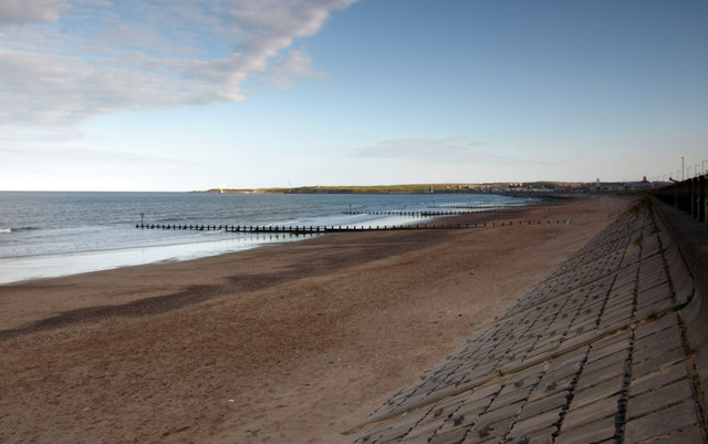
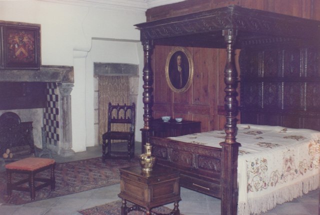
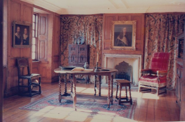
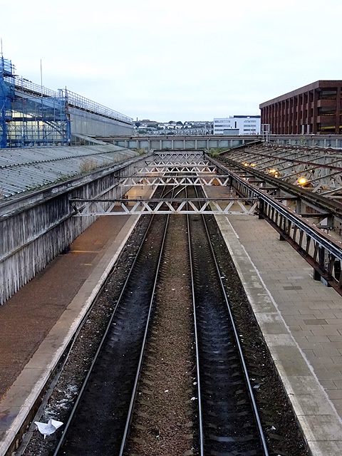
Broad Hill Images

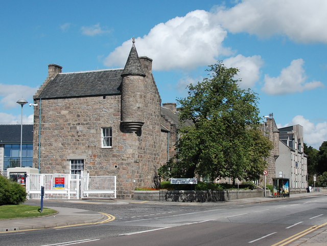
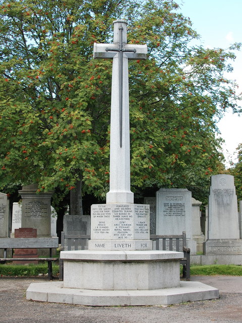
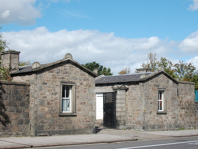
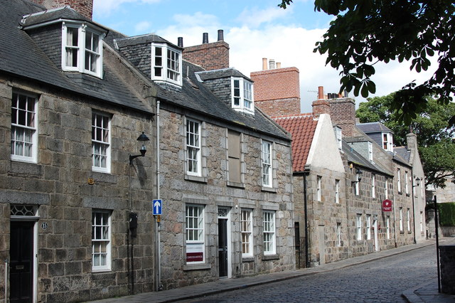
Images are sourced within 2km of 57.157161/-2.0838103 or Grid Reference NJ9507. Thanks to Geograph Open Source API. All images are credited.

First Aberdeen bus depot and offices, King Street The building is a nicely restored militia barracks from ca. 1861: <span class="nowrap"><a title="http://data.historic-scotland.gov.uk/pls/htmldb/f?p=2200:15:0::::BUILDING:19998" rel="nofollow ugc noopener" href="http://data.historic-scotland.gov.uk/pls/htmldb/f?p=2200:15:0::::BUILDING:19998">Link</a><img style="margin-left:2px;" alt="External link" title="External link - shift click to open in new window" src="https://s1.geograph.org.uk/img/external.png" width="10" height="10"/></span> .
First Aberdeen bus depot and offices, King Street
The building is a nicely restored militia barracks from ca. 1861: LinkExternal link .
War memorial, St Peter's Cemetery, King Street
Cemetery lodges, St Peter's Cemetery, King Street Thought to date from about 1824 and B-listed: <span class="nowrap"><a title="http://data.historic-scotland.gov.uk/pls/htmldb/f?p=2200:15:0::::BUILDING:20060" rel="nofollow ugc noopener" href="http://data.historic-scotland.gov.uk/pls/htmldb/f?p=2200:15:0::::BUILDING:20060">Link</a><img style="margin-left:2px;" alt="External link" title="External link - shift click to open in new window" src="https://s1.geograph.org.uk/img/external.png" width="10" height="10"/></span> , when the commercial cemetery was set up by the Moir of Scotstoun family: their rather ominous skull and cross bones crest still adorns the iron gates.  The round nodule things on the corners of the roof are called acroters.
Cemetery lodges, St Peter's Cemetery, King Street
Thought to date from about 1824 and B-listed: LinkExternal link , when the commercial cemetery was set up by the Moir of Scotstoun family: their rather ominous skull and cross bones crest still adorns the iron gates. The round nodule things on the corners of the roof are called acroters.
Moir of Scotstoun crest, St Peter's Cemetery, King Street The ominous crest of Moir of Scotstoun (who once owned the land) on the gates of St Peter's Cemetery on King Street; compare: <a title="https://www.geograph.org.uk/photo/4363024" href="https://www.geograph.org.uk/photo/4363024">Link</a> .  The motto means "not for self but for all".
Moir of Scotstoun crest, St Peter's Cemetery, King Street
The ominous crest of Moir of Scotstoun (who once owned the land) on the gates of St Peter's Cemetery on King Street; compare: Link . The motto means "not for self but for all".
High Street, Old Aberdeen The building in the centre is the "Confucius Institute" set up to facilitate cooperation between the University of Aberdeen and China.  Could the yellow "88" on the left-hand building be a fire insurance mark?
High Street, Old Aberdeen
The building in the centre is the "Confucius Institute" set up to facilitate cooperation between the University of Aberdeen and China. Could the yellow "88" on the left-hand building be a fire insurance mark?
Crown tower, King's College Chapel Dating from around 1500 and A-listed: <span class="nowrap"><a title="http://www.britishlistedbuildings.co.uk/sc-19943-kings-college-chapel-college-bounds-#.Vc5STaSFOmQhttp://www.britishlistedbuildings.co.uk/sc-19943-kings-college-chapel-college-bounds-#.Vc5STaSFOmQ" rel="nofollow ugc noopener" href="http://www.britishlistedbuildings.co.uk/sc-19943-kings-college-chapel-college-bounds-#.Vc5STaSFOmQhttp://www.britishlistedbuildings.co.uk/sc-19943-kings-college-chapel-college-bounds-#.Vc5STaSFOmQ">Link</a><img style="margin-left:2px;" alt="External link" title="External link - shift click to open in new window" src="https://s1.geograph.org.uk/img/external.png" width="10" height="10"/></span> .
Crown tower, King's College Chapel
Dating from around 1500 and A-listed: LinkExternal link .
King's College Chapel, Old Aberdeen
Beach at Aberdeen Viewed from below the Esplanade. There are groynes spread along the beach. View towards the lighthouses at the entrance to the harbour.
Beach at Aberdeen
Viewed from below the Esplanade. There are groynes spread along the beach. View towards the lighthouses at the entrance to the harbour.
Beach at Aberdeen Looking northwards.
Beach at Aberdeen
Looking northwards.
Provost Skene's House Aberdeen's second oldest house, dating from 1545.
Provost Skene's House
Aberdeen's second oldest house, dating from 1545.
Marischal College, Aberdeen This fine granite building was appropriately still home to Aberdeen University's Geology Department when this photograph was taken in 1979.
Marischal College, Aberdeen
This fine granite building was appropriately still home to Aberdeen University's Geology Department when this photograph was taken in 1979.
Dining Room, Provost Skene's House The dining room as arranged in 1979.
Dining Room, Provost Skene's House
The dining room as arranged in 1979.
Bedroom, Provost Skene's House One of the period bedrooms, as arranged in 1979.
Bedroom, Provost Skene's House
One of the period bedrooms, as arranged in 1979.
Victorian parlour, Provost Skene's House Complete with Aspidistra, as seen in 1979.
Victorian parlour, Provost Skene's House
Complete with Aspidistra, as seen in 1979.
Interior, Provost Skene's House Period setting, as seen in 1979.
Interior, Provost Skene's House
Period setting, as seen in 1979.
Tracks at Aberdeen Station
Rebranding exercise North East Scotland College (see: <span class="nowrap"><a title="https://en.wikipedia.org/wiki/North_East_Scotland_College" rel="nofollow ugc noopener" href="https://en.wikipedia.org/wiki/North_East_Scotland_College">Link</a><img style="margin-left:2px;" alt="External link" title="External link - shift click to open in new window" src="https://s1.geograph.org.uk/img/external.png" width="10" height="10"/></span> ) arose from the shotgun marriage between Aberdeen College and Banff and Buchan College in November 2013.  As well as a new logo, the main building in Aberdeen was re-clad in contemporary greys...  It formerly looked like... <a title="https://www.geograph.org.uk/photo/852689" href="https://www.geograph.org.uk/photo/852689">Link</a> .
Rebranding exercise
North East Scotland College (see: LinkExternal link ) arose from the shotgun marriage between Aberdeen College and Banff and Buchan College in November 2013. As well as a new logo, the main building in Aberdeen was re-clad in contemporary greys... It formerly looked like... Link .
Trinity Shopping Centre, Union Street, Aberdeen The striking B-listed neo-Gothic building from 1844 once housed the Seven Incorporated Trades, Aberdeen's medieval trade guild organization, which by the 19th Century had become a social and charitable organisation.  For more, see: <span class="nowrap"><a title="http://data.historic-scotland.gov.uk/pls/htmldb/f?p=2200:15:0::::BUILDING:20527" rel="nofollow ugc noopener" href="http://data.historic-scotland.gov.uk/pls/htmldb/f?p=2200:15:0::::BUILDING:20527">Link</a><img style="margin-left:2px;" alt="External link" title="External link - shift click to open in new window" src="https://s1.geograph.org.uk/img/external.png" width="10" height="10"/></span> .  The Trades moved to the new Trinity Hall on Holburn Street in the 1960s.
Trinity Shopping Centre, Union Street, Aberdeen
The striking B-listed neo-Gothic building from 1844 once housed the Seven Incorporated Trades, Aberdeen's medieval trade guild organization, which by the 19th Century had become a social and charitable organisation. For more, see: LinkExternal link . The Trades moved to the new Trinity Hall on Holburn Street in the 1960s.
Show me another place!

Broad Hill is located at Grid Ref: NJ9507 (Lat: 57.157161, Lng: -2.0838103)

Unitary Authority: City of Aberdeen

Police Authority: North East

What 3 Words

///beans.bench.motor. Near Aberdeen

Nearby Locations

Aberdeen Bay Broad Hill

Related Wikis

Nearby Amenities

Located within 500m of 57.157161,-2.0838103
Source: PGS
Lat/Long: 57.1550661/-2.0774603
Source: PGS
Lat/Long: 57.1560194/-2.0777251
Source: PGS
Lat/Long: 57.1569872/-2.0779227
Source: PGS
Lat/Long: 57.1579681/-2.0780456
Source: PGS
Lat/Long: 57.158928/-2.0781366
Source: PGS
Lat/Long: 57.159893/-2.078209
Crossing
Crossing: uncontrolled
Crossing Island: no
Crossing Markings: zebra
Crossing Ref: zebra
Flashing Lights: yes
Tactile Paving: yes
Lat/Long: 57.1558389/-2.0791771
Traffic Signals
Traffic Signals: signal
Lat/Long: 57.153434/-2.0795208
Traffic Signals
Traffic Signals: signal
Traffic Signals Direction: both
Lat/Long: 57.1540578/-2.0835244
Direction: both
Surface: asphalt
Traffic Calming: cushion
Lat/Long: 57.1541156/-2.0849854
Give Way
Direction: forward
Lat/Long: 57.1598699/-2.0868243
Traffic Signals
Traffic Signals: signal
Lat/Long: 57.1534419/-2.0792908
Crossing
Crossing: traffic_signals
Crossing Island: no
Tactile Paving: yes
Lat/Long: 57.1535684/-2.0793641
Cycleway: asl
Lat/Long: 57.1536272/-2.0791593
Crossing
Crossing: traffic_signals
Crossing Island: no
Tactile Paving: yes
Lat/Long: 57.1535913/-2.0791736
Cycleway: asl
Direction: backward
Lat/Long: 57.1542159/-2.0834821
Crossing
Crossing: traffic_signals
Crossing Island: no
Crossing Markings: dots
Tactile Paving: yes
Traffic Signals Sound: yes
Lat/Long: 57.1540497/-2.0833587
Sunny's Newsagents
Addr City: Aberdeen
Addr Housenumber: 91
Addr Postcode: AB24 5ND
Addr Street: Urquhart Road
Fhrs Authority: Aberdeen City
Fhrs Id: 1347557
Fhrs Local Authority Id: 1916
Opening Hours: Mo-Sa 07:20-22:00; Su 09:00-21:00
Shop: convenience
Source Addr: fhrs
Source Name: survey
Wheelchair: no
Lat/Long: 57.1551947/-2.0883556
Crossing
Crossing: traffic_signals
Crossing Island: no
Crossing Markings: dots
Tactile Paving: yes
Traffic Signals Sound: yes
Lat/Long: 57.154001/-2.0835285
Aberdeen FC Club Shop
Opening Hours: Mo-Sa 09:30-17:30
Shop: sports
Lat/Long: 57.1597022/-2.087428
Bus Stop
Pittodrie Place
Bench: yes
Bin: no
Bus: yes
Lit: yes
Naptan AtcoCode: 639003242
Naptan CommonName: Pittodrie Place
Naptan Indicator: opp
Naptan NaptanCode: 23235463
Naptan Verified: no
Note: services: 13
Public Transport: platform
Ref: 03242
Shelter: yes
Source: survey; gps
Tactile Paving: no
Lat/Long: 57.1611273/-2.0869696
Ele: 28.6
Man Made: survey_point
Survey Point: triangulation
Tpuk Ref: 1645
Lat/Long: 57.157168/-2.0838228
Post Box
Collection Times: Mo-Fr 09:00, Sa 07:00
Operator: Royal Mail
Post Box Type: pillar
Ref: AB24 104
Royal Cypher: EVIIR
Royal Cypher Wikidata: Q33102324
Source: survey; gps
Lat/Long: 57.1548774/-2.0900666
Mobile Speed Camera zone 705 end
Website: http://www.nescamp.co.uk/details?cid=87
Lat/Long: 57.1535833/-2.079307
Telephone
Booth: KX100
Covered: booth
Source: survey;gps
Lat/Long: 57.1550051/-2.0880907
Bus Stop
Park Road
Bench: no
Bin: no
Bus: yes
Lit: yes
Naptan AtcoCode: 639003271
Naptan CommonName: Park Road
Naptan Indicator: adj 85
Naptan NaptanCode: 23235264
Naptan Verified: no
Note: services: 13
Public Transport: platform
Ref: 03271
Shelter: no
Source: survey; gps
Tactile Paving: no
Lat/Long: 57.1551327/-2.0886948
Bus Stop
Roslin Street
Bench: no
Bin: no
Bus: yes
Lit: yes
Naptan AtcoCode: 639003272
Naptan CommonName: Roslin Street
Naptan Indicator: adj 82
Naptan NaptanCode: 23235263
Naptan Verified: no
Note: services: 13
Public Transport: platform
Ref: 03272
Shelter: no
Source: survey; gps
Tactile Paving: no
Lat/Long: 57.1550114/-2.089244
Bus Stop
Seaforth Road
Bench: no
Bin: no
Bus: yes
Lit: yes
Naptan AtcoCode: 639003262
Naptan CommonName: Seaforth Road
Naptan Indicator: opp
Naptan NaptanCode: 23235279
Naptan Verified: no
Note: services: 13
Public Transport: platform
Ref: 03262
Shelter: no
Source: survey; gps
Tactile Paving: no
Lat/Long: 57.1558967/-2.0876649
Bus Stop
Seaforth Road
Bench: no
Bin: no
Bus: yes
Lit: yes
Naptan AtcoCode: 639003261
Naptan CommonName: Seaforth Road
Naptan Indicator: adj
Naptan NaptanCode: 23235289
Naptan Verified: no
Note: services: 13
Public Transport: platform
Ref: 03261
Shelter: no
Source: survey; gps
Tactile Paving: no
Lat/Long: 57.1560182/-2.0877705
Bus Stop
Pittodrie Street
Bench: yes
Bus: yes
Naptan AtcoCode: 639003252
Naptan CommonName: Pittodrie Street
Naptan Indicator: opp
Naptan NaptanCode: 23235387
Naptan Verified: no
Note: services: 13
Public Transport: platform
Ref: 03252
Shelter: yes
Source: survey; gps
Lat/Long: 57.1591307/-2.0859475
Bus Stop
Pittodrie Street
Bench: no
Bus: yes
Naptan AtcoCode: 639003251
Naptan CommonName: Pittodrie Street
Naptan Indicator: at
Naptan NaptanCode: 23235395
Naptan Verified: no
Note: services: 13
Public Transport: platform
Ref: 03251
Shelter: no
Source: survey; gps
Lat/Long: 57.1594087/-2.0863424
Cafe
Tramsheds Coffee House
Addr City: Aberdeen
Addr Housenumber: 179
Addr Postcode: AB24 5TU
Addr Street: Constitution Street
Diet Vegan: yes
Diet Vegetarian: yes
Note: fhrs data and address from Satrosphere building
Opening Hours: Mo-Fr 08:00-16:30; Sa,Su 09:00-16:30
Source: knowledge
Lat/Long: 57.1532542/-2.0844514
Bench
Backrest: yes
Lat/Long: 57.1572004/-2.0838637
Broad Hill
Ele: 28
Natural: peak
Lat/Long: 57.1571797/-2.0838594
Cycleway: asl
Lat/Long: 57.1532918/-2.0798174
Barrier: bollard
Bollard: fixed
Lat/Long: 57.1532728/-2.0801345
Cafe
Transition Extreme Cafe
Lat/Long: 57.1541134/-2.0817789
Bus Stop
Constitution Street
Bench: no
Bin: no
Bus: yes
Departures Board: timetable
Lit: yes
Naptan AtcoCode: 639003331
Naptan CommonName: Constitution Street
Naptan Indicator: at
Naptan NaptanCode: 23234954
Naptan Verified: no
Public Transport: platform
Shelter: no
Tactile Paving: no
Lat/Long: 57.1534883/-2.0839838
Bus Stop
Beach Boulevard
Bench: yes
Bin: no
Bus: yes
Lit: yes
Naptan AtcoCode: 639003321
Naptan CommonName: Beach Boulevard
Naptan Indicator: opp
Naptan NaptanCode: 23234989
Naptan Verified: no
Public Transport: platform
Shelter: yes
Tactile Paving: no
Lat/Long: 57.1541442/-2.079035
Bus Stop
Urquhart Road
Bus: yes
Naptan AtcoCode: 639003301
Naptan CommonName: Urquhart Road
Naptan Indicator: at
Naptan NaptanCode: 23235249
Naptan Verified: no
Public Transport: platform
Lat/Long: 57.1545666/-2.0834242
Bus Stop
Beach Ballroom
Bench: no
Bus: yes
Departures Board: timetable
Naptan AtcoCode: 639003311
Naptan CommonName: Beach Ballroom
Naptan Indicator: adj
Naptan NaptanCode: 23235254
Naptan Verified: no
Public Transport: platform
Shelter: no
Lat/Long: 57.1549281/-2.0800861
Waste Basket
Waste: dog_excrement
Lat/Long: 57.1579213/-2.085945
Traffic Signals
Traffic Signals: signal
Traffic Signals Direction: both
Lat/Long: 57.1550998/-2.0882058
Recycling
Operator: Aberdeen City Council
Recycling Type: container
Lat/Long: 57.1548122/-2.0885275
Recycling
Recycling Type: container
Lat/Long: 57.1547828/-2.0885302
Recycling
Operator: Aberdeen City Council
Recycling Type: container
Lat/Long: 57.1548362/-2.0885261
Roslin Stores
Addr City: Aberdeen
Addr Housenumber: 74
Addr Postcode: AB24 5NB
Addr Street: Urquhart Road
Fhrs Authority: Aberdeen City
Fhrs Id: 767934
Fhrs Local Authority Id: EHDC11478
Opening Hours: Mo-Sa 06:00-22:00; Su 07:00-21:00
Operator: Premier Stores
Shop: convenience
Lat/Long: 57.1548357/-2.0897222
Waste Basket
Lat/Long: 57.1547372/-2.0896337
Waste Basket
Lat/Long: 57.1547281/-2.0896243
Give Way
Lat/Long: 57.1563145/-2.0919038
Entrance: main
Lat/Long: 57.1542355/-2.0821406
Access: customers
Fee: yes
Indoor: yes
Leisure: pitch
Lit: yes
Sport: skateboard
Lat/Long: 57.1543259/-2.0813961
Access: customers
Fee: yes
Leisure: sports_centre
Sport: climbing
Lat/Long: 57.1540306/-2.0821686
Access: private
Barrier: lift_gate
Lat/Long: 57.1557344/-2.0875754
Turning Circle
Turning Circle: square
Lat/Long: 57.1559581/-2.0844462
Crossing
Crossing: traffic_signals
Crossing Island: no
Crossing Markings: dots
Tactile Paving: yes
Traffic Signals Sound: yes
Lat/Long: 57.1540994/-2.0837201
Access: private
Barrier: lift_gate
Lat/Long: 57.1547621/-2.0854982
Direction: both
Surface: asphalt
Traffic Calming: cushion
Lat/Long: 57.1531366/-2.0858515
Pharmacy
Rowlands Pharmacy
Addr City: Aberdeen
Addr Postcode: AB24 5AU
Addr Street: Park Road
Brand: Rowlands Pharmacy
Brand Wikidata: Q62663235
Dispensing: yes
Healthcare: pharmacy
Opening Hours: Mo-Fr 08:30-15:00, 16:00-18:00; Sa 09:00-12:00
Website: https://rowlandspharmacy.co.uk/find-local-pharmacy#!/l/aberdeen/park-road,-the-city-hospital/1444
Lat/Long: 57.1542059/-2.0883175
Direction: both
Surface: asphalt
Traffic Calming: cushion
Lat/Long: 57.153732/-2.0856972
Direction: both
Surface: asphalt
Traffic Calming: cushion
Lat/Long: 57.1533952/-2.0859282
CBD Land UK
Addr City: Aberdeen
Addr Housenumber: 41
Addr Postcode: AB24 5PA
Addr Street: Park Road
Contact Email: cbdlanduk@gmail.com
Contact Facebook: https://www.facebook.com/pages/category/Shopping---retail/CBD-Land-UK-101183891954796/
Contact Mobile: +44 7853 841302
Contact Phone: +44 1224 977771
Contact Website: https://cbdlanduk.com/
Shop: cannabis
Lat/Long: 57.1552667/-2.0882524
Pomoc w Aberdeen
Addr City: Aberdeen
Addr Housenumber: 67
Addr Postcode: AB24 5NA
Addr Street: Urquhart Road
Office: consulting
Lat/Long: 57.1549866/-2.0900846
Access: private
Barrier: lift_gate
Lat/Long: 57.1583915/-2.0896294
Access: private
Barrier: lift_gate
Lat/Long: 57.1584721/-2.0906071
Access: private
Barrier: lift_gate
Lat/Long: 57.1579707/-2.0897921
Barrier: bollard
Lat/Long: 57.1598118/-2.0865121
Barrier: bollard
Lat/Long: 57.159793/-2.0864921
Golf: pin
Ref: 1
Lat/Long: 57.1611372/-2.0815605
Golf: pin
Ref: 14
Lat/Long: 57.1608797/-2.0850983
Golf: pin
Ref: 18
Lat/Long: 57.160623/-2.0865387
Waste Basket
Waste: dog_excrement
Lat/Long: 57.1593054/-2.086009
Grit Bin
Access: yes
Colour: yellow
Material: plastic
Lat/Long: 57.1549467/-2.0802486
Waste Basket
Waste: dog_excrement
Lat/Long: 57.1539628/-2.083386
Grit Bin
Access: yes
Colour: yellow
Material: plastic
Lat/Long: 57.1531888/-2.0839508
Addr City: Aberdeen
Addr Housenumber: 123
Addr Postcode: AB24 5NH
Addr Street: Urquhart Road
Lat/Long: 57.1542167/-2.0836554
Crossing
Button Operated: yes
Crossing: traffic_signals
Crossing Island: no
Crossing Markings: dots
Kerb: lowered
Tactile Paving: yes
Traffic Signals Vibration: yes
Lat/Long: 57.155091/-2.0879191
Waste Basket
Waste: dog_excrement
Lat/Long: 57.1550623/-2.0822817
63 ABD CR
Designation: March Stone
Historic: archaeological_site
Lat/Long: 57.159191/-2.0861471
Give Way
Direction: forward
Lat/Long: 57.1543094/-2.0846652
Grit Bin
Lat/Long: 57.1561795/-2.0896178
Man Made: tower
Tower Type: lighting
Lat/Long: 57.1596776/-2.0898916
Man Made: tower
Tower Type: lighting
Lat/Long: 57.1587052/-2.0898238
Fergie
Artwork Type: statue
Subject Wikidata: Q44980
Subject Wikipedia: en:Alex Ferguson
Tourism: artwork
Lat/Long: 57.1592611/-2.086786
Crossing
Button Operated: yes
Crossing: traffic_signals
Crossing Island: no
Crossing Markings: dots
Kerb: lowered
Tactile Paving: yes
Traffic Signals Vibration: yes
Lat/Long: 57.1550973/-2.0883793
Crossing
Button Operated: yes
Crossing: traffic_signals
Crossing Island: no
Crossing Markings: dots
Kerb: lowered
Tactile Paving: yes
Traffic Signals Vibration: yes
Lat/Long: 57.1551862/-2.0881263
Crossing
Button Operated: yes
Crossing: traffic_signals
Crossing Island: no
Crossing Markings: dots
Kerb: lowered
Tactile Paving: yes
Traffic Signals Vibration: yes
Lat/Long: 57.1550106/-2.0882541
Crossing
Crossing: unmarked
Crossing Island: no
Tactile Paving: yes
Lat/Long: 57.1557472/-2.087718
Traffic Calming: cushion
Lat/Long: 57.1536668/-2.0863375
Direction: both
Surface: asphalt
Traffic Calming: cushion
Lat/Long: 57.1528186/-2.0854604
Colour: green
Man Made: street_cabinet
Operator: CityFibre
Ref: AB1-PN206-SN1
Survey Date: 2022-10-18
Utility: telecom
Lat/Long: 57.1609831/-2.0879984
Life Ring
Emergency: life_ring
Lat/Long: 57.1608412/-2.0793336
Life Ring
Emergency: life_ring
Lat/Long: 57.1597106/-2.079294
Life Ring
Emergency: life_ring
Lat/Long: 57.1579178/-2.0791666
Life Ring
Emergency: life_ring
Lat/Long: 57.1569061/-2.0789809
Life Ring
Emergency: life_ring
Lat/Long: 57.1559562/-2.0787629
Life Ring
Emergency: life_ring
Lat/Long: 57.1550299/-2.0786034
Crossing
Button Operated: yes
Crossing: traffic_signals
Crossing Island: no
Tactile Paving: yes
Traffic Signals Vibration: yes
Lat/Long: 57.1533141/-2.0797727
Bus Stop
Constitution Street
Bench: no
Bin: no
Bus: yes
Lit: yes
Naptan AtcoCode: 639003334
Naptan Bearing: N
Naptan CommonName: Constitution Street
Naptan Indicator: at
Naptan NaptanCode: 23237696
Naptan Street: Links Road
Naptan Verified: no
Public Transport: platform
Shelter: no
Source: naptan;bing;naptan_compare_tool
Tactile Paving: no
Lat/Long: 57.1528736/-2.0838827
Bus Stop
Links Road
Bench: no
Bin: no
Bus: yes
Lit: yes
Naptan AtcoCode: 639003333
Naptan Bearing: NE
Naptan CommonName: Links Road
Naptan Indicator: adj
Naptan NaptanCode: 23237695
Naptan Street: Constitution Street
Naptan Verified: no
Public Transport: platform
Shelter: no
Source: naptan;bing;naptan_compare_tool
Tactile Paving: no
Lat/Long: 57.1530234/-2.0845867
Bus Stop
Constitution Street
Bench: no
Bin: no
Bus: yes
Lit: yes
Naptan AtcoCode: 639003332
Naptan Bearing: S
Naptan CommonName: Constitution Street
Naptan Indicator: opp
Naptan NaptanCode: 23237694
Naptan Street: Links Road
Naptan Verified: no
Public Transport: platform
Shelter: no
Source: naptan;bing;naptan_compare_tool
Tactile Paving: no
Lat/Long: 57.153523/-2.0836863
Life Ring
Emergency: life_ring
Lat/Long: 57.1586913/-2.0791277
Bench
Source: survey
Lat/Long: 57.1567698/-2.0790352
Bench
Source: survey
Lat/Long: 57.1573247/-2.0791599
Bench
Source: survey
Lat/Long: 57.157124/-2.0791183
Bench
Source: survey
Lat/Long: 57.1557867/-2.0788092
Bench
Source: survey
Lat/Long: 57.1556144/-2.078769
Bench
Source: survey
Lat/Long: 57.1559908/-2.0788568
Bench
Source: survey
Lat/Long: 57.1561184/-2.0788907
Bench
Source: survey
Lat/Long: 57.1554005/-2.0787294
Bench
Source: survey
Lat/Long: 57.1552878/-2.0787194
Bench
Source: survey
Lat/Long: 57.1551652/-2.07871
Stop
Direction: forward
Lat/Long: 57.1548678/-2.0898999
Stop
Direction: backward
Lat/Long: 57.1549523/-2.0898908
Give Way
Direction: backward
Lat/Long: 57.1535464/-2.0859384
Give Way
Direction: backward
Lat/Long: 57.1527449/-2.0853651
Give Way
Direction: backward
Lat/Long: 57.1610096/-2.0871567
Give Way
Direction: backward
Lat/Long: 57.1590195/-2.0905032
Give Way
Direction: backward
Lat/Long: 57.1561788/-2.0877879
Give Way
Direction: backward
Lat/Long: 57.1581815/-2.0857407
Barrier: bollard
Colour: black
Lat/Long: 57.1536352/-2.0796474
Crossing
Crossing: traffic_signals
Crossing Island: no
Crossing Markings: dots
Tactile Paving: yes
Traffic Signals Sound: yes
Lat/Long: 57.1541826/-2.083491
Grit Bin
Lat/Long: 57.156145/-2.0909431
The data included in this document is from www.openstreetmap.org. The data is made available under ODbL.

Have you been to Broad Hill?

Leave your review of Broad Hill below (or comments, questions and feedback).