Knook Horse Hill
Hill, Mountain in Wiltshire
England
Knook Horse Hill
Knook Horse Hill is a prominent geographical feature located in the county of Wiltshire, England. Situated near the village of Knook, this hill is categorized as a chalk hill, rather than a mountain, due to its moderate elevation. It stands at an impressive height of approximately 216 meters (708 feet) above sea level, offering stunning panoramic views of the surrounding landscape.
The hill is known for its distinctive horse-shaped figure, which is carved into the chalk downland on its southern slope. This figure is commonly referred to as the "Knook Horse" and is a popular attraction for visitors. The origins and purpose of this carving remain unclear, but it is believed to date back to ancient times.
The area surrounding Knook Horse Hill is primarily rural, characterized by rolling hills and picturesque countryside. The hill itself is covered in grass and is home to a variety of flora and fauna. It is a designated Site of Special Scientific Interest (SSSI) due to its importance for wildlife conservation.
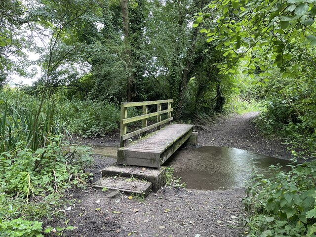
Knook Horse Hill is also notable for its historical significance. It is said to have been occupied during the Iron Age, and traces of ancient settlements and burial mounds have been discovered in the vicinity. The hill has witnessed centuries of human activity, including farming and grazing. Today, it is a popular destination for walkers, hikers, and nature enthusiasts, who are drawn to its natural beauty and tranquil surroundings.
If you have any feedback on the listing, please let us know in the comments section below.
Knook Horse Hill Images
Images are sourced within 2km of 51.17643/-2.0736927 or Grid Reference ST9441. Thanks to Geograph Open Source API. All images are credited.
![Corton village [4] Little Manor is a late 17th century detached house with an 18th century addition and a later rear wing. Constructed of squared, coursed limestone with ashlar dressings under a thatch roof. Listed, grade II, with details at: <span class="nowrap"><a title="https://historicengland.org.uk/listing/the-list/list-entry/1036350" rel="nofollow ugc noopener" href="https://historicengland.org.uk/listing/the-list/list-entry/1036350">Link</a><img style="margin-left:2px;" alt="External link" title="External link - shift click to open in new window" src="https://s1.geograph.org.uk/img/external.png" width="10" height="10"/></span>
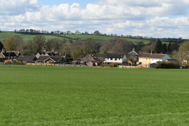
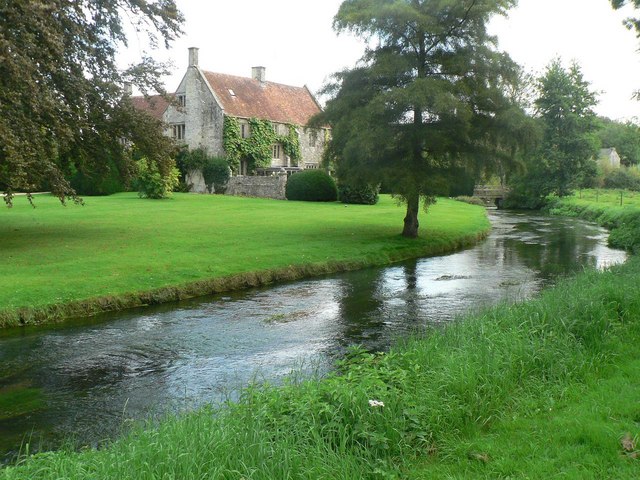
Corton is a small village in the Wylye Valley, Wiltshire, about 5 miles southeast of Warminster and 14¼ miles northwest of Salisbury. There is much evidence of ancient settlement in the area, including Corton Long Barrow on Barrow Hill, southwest of the village. Most working residents in the village commute.](https://s1.geograph.org.uk/geophotos/07/34/49/7344921_d30982aa.jpg)
![Corton village [5] This former Baptist chapel was built in 1828, and enlarged in 1854 and 1914. It closed in 1965 and is now a private house. Constructed of brick under a tile roof.
Corton is a small village in the Wylye Valley, Wiltshire, about 5 miles southeast of Warminster and 14¼ miles northwest of Salisbury. There is much evidence of ancient settlement in the area, including Corton Long Barrow on Barrow Hill, southwest of the village. Most working residents in the village commute.](https://s2.geograph.org.uk/geophotos/07/34/49/7344922_7aea46d6.jpg)
![Corton village [6] Number 43, The Old Post Office, is the end house in a row of three. Built in the 18th century of brick under a thatch roof.
Corton is a small village in the Wylye Valley, Wiltshire, about 5 miles southeast of Warminster and 14¼ miles northwest of Salisbury. There is much evidence of ancient settlement in the area, including Corton Long Barrow on Barrow Hill, southwest of the village. Most working residents in the village commute.](https://s0.geograph.org.uk/geophotos/07/34/49/7344924_5eebf6fd.jpg)
![Corton village [7] Numbers 47 and 48 are a pair of estate cottages built for the Boyton Manor estate in the mid 19th century. Constructed of squared, coursed limestone under a thatch roof. There are lean-to extensions at the rear. Listed, grade II, with details at: <span class="nowrap"><a title="https://historicengland.org.uk/listing/the-list/list-entry/1183269" rel="nofollow ugc noopener" href="https://historicengland.org.uk/listing/the-list/list-entry/1183269">Link</a><img style="margin-left:2px;" alt="External link" title="External link - shift click to open in new window" src="https://s1.geograph.org.uk/img/external.png" width="10" height="10"/></span>
Corton is a small village in the Wylye Valley, Wiltshire, about 5 miles southeast of Warminster and 14¼ miles northwest of Salisbury. There is much evidence of ancient settlement in the area, including Corton Long Barrow on Barrow Hill, southwest of the village. Most working residents in the village commute.](https://s1.geograph.org.uk/geophotos/07/34/49/7344925_dd8a17cf.jpg)
![Corton village [8] Old Farm Cottage is an early 18th century semi-detached house. Constructed of squared, coursed limestone and limestone ashlar under a pantile roof. Some original internal features remain. Listed, grade II, with details at: <span class="nowrap"><a title="https://historicengland.org.uk/listing/the-list/list-entry/1036348" rel="nofollow ugc noopener" href="https://historicengland.org.uk/listing/the-list/list-entry/1036348">Link</a><img style="margin-left:2px;" alt="External link" title="External link - shift click to open in new window" src="https://s1.geograph.org.uk/img/external.png" width="10" height="10"/></span>
Corton is a small village in the Wylye Valley, Wiltshire, about 5 miles southeast of Warminster and 14¼ miles northwest of Salisbury. There is much evidence of ancient settlement in the area, including Corton Long Barrow on Barrow Hill, southwest of the village. Most working residents in the village commute.](https://s2.geograph.org.uk/geophotos/07/34/49/7344926_dc663684.jpg)
![Corton village [9] Jubilee Cottage is built gable end to the street. The rear part is 17th century
in square-panel timber framing with brick nogging and weatherboard cladding to the south side. The front part is 19th century in rubble stone with brick dressings. All under a thatch roof. The cottage is a rare example of surviving timber framing in this area. Listed, grade II, with details at: <span class="nowrap"><a title="https://historicengland.org.uk/listing/the-list/list-entry/1183274" rel="nofollow ugc noopener" href="https://historicengland.org.uk/listing/the-list/list-entry/1183274">Link</a><img style="margin-left:2px;" alt="External link" title="External link - shift click to open in new window" src="https://s1.geograph.org.uk/img/external.png" width="10" height="10"/></span>
Corton is a small village in the Wylye Valley, Wiltshire, about 5 miles southeast of Warminster and 14¼ miles northwest of Salisbury. There is much evidence of ancient settlement in the area, including Corton Long Barrow on Barrow Hill, southwest of the village. Most working residents in the village commute.](https://s3.geograph.org.uk/geophotos/07/34/49/7344927_653dbb65.jpg)


Knook Horse Hill is located at Grid Ref: ST9441 (Lat: 51.17643, Lng: -2.0736927)
Unitary Authority: Wiltshire
Police Authority: Wiltshire
What 3 Words
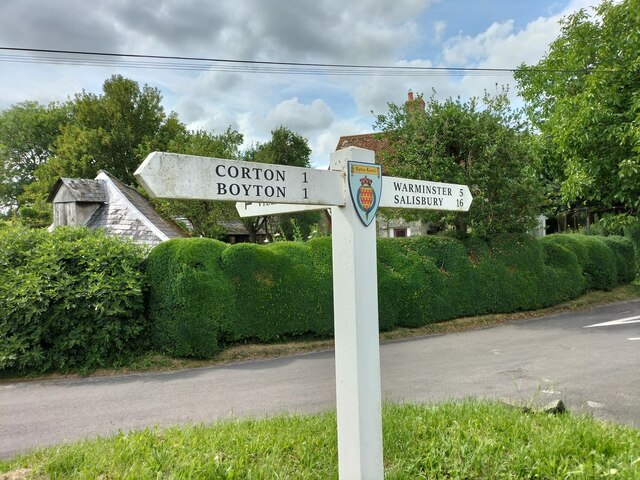
///strongly.attending.jump. Near Boyton, Wiltshire
Nearby Locations
Related Wikis
Knook
Knook is a small village and civil parish in Wiltshire, England. The village lies to the north of the River Wylye at the edge of Salisbury Plain, about...

Upton Lovell
Upton Lovell is a village and civil parish in Wiltshire, England. It lies on the A36, in the Wylye valley about 5 miles (8.0 km) southeast of Warminster...
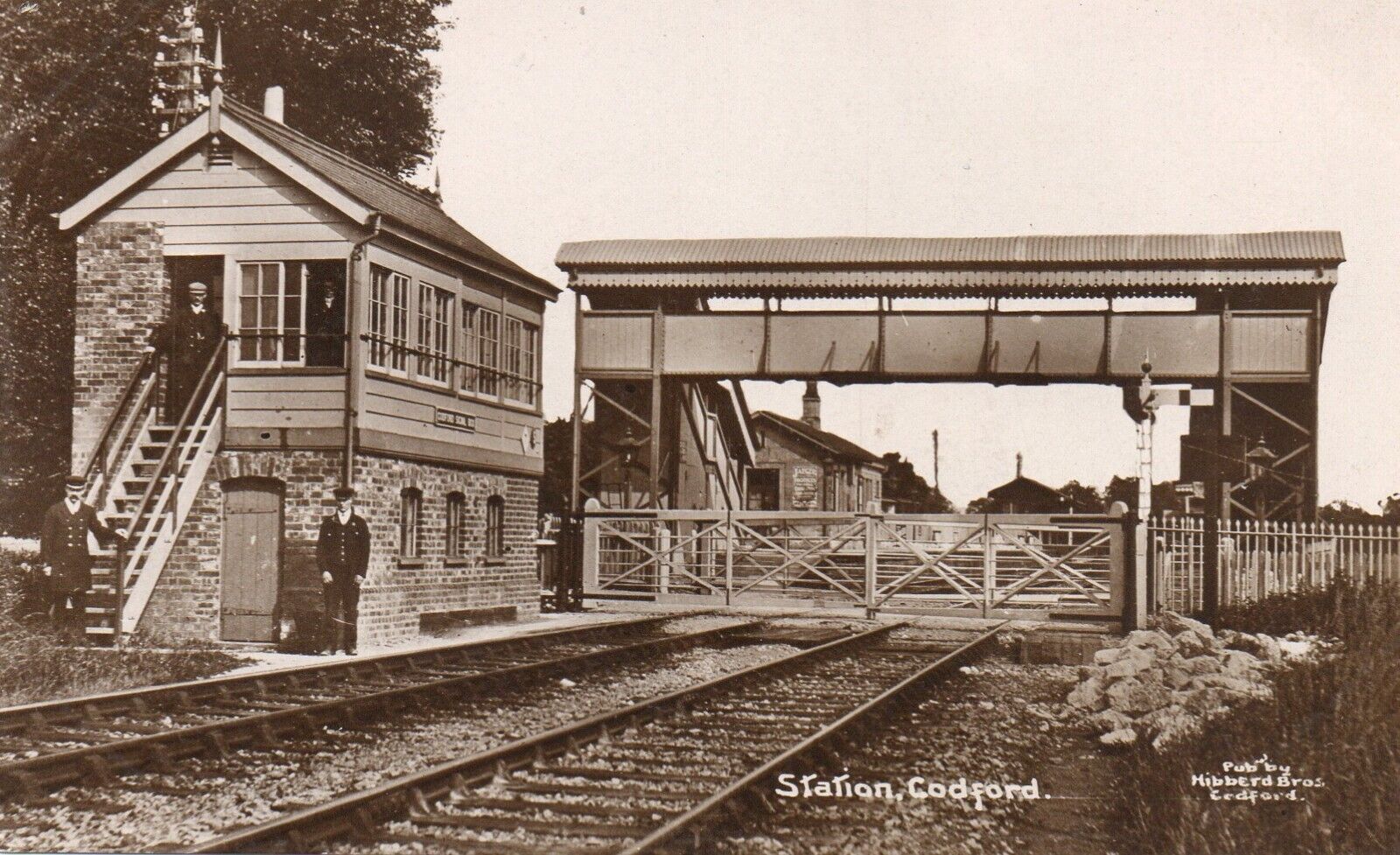
Codford railway station
Codford railway station was an intermediate station on the Salisbury branch line of the Great Western Railway built along the Wylye valley to connect Warminster...
Greenways School
Greenways School, also known as Greenways Preparatory School, was an English prep school, founded at Bognor Regis, Sussex, before the Second World War...
Nearby Amenities
Located within 500m of 51.17643,-2.0736927Have you been to Knook Horse Hill?
Leave your review of Knook Horse Hill below (or comments, questions and feedback).