Guernsey Belt
Wood, Forest in Wiltshire
England
Guernsey Belt
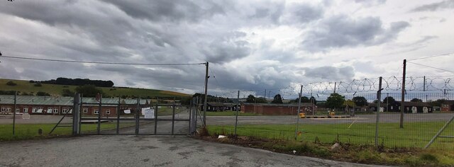
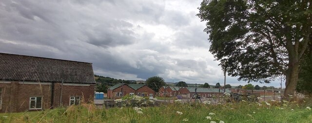
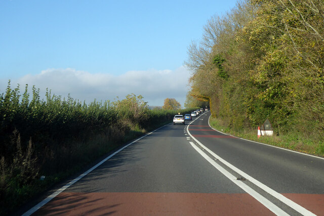
Guernsey Belt is a picturesque woodland area located in the county of Wiltshire, England. Covering a vast expanse of approximately 200 acres, it is renowned for its natural beauty and tranquil atmosphere. The woodland is situated near the village of Guernsey, hence deriving its name from the locality.
This enchanting forest is home to a diverse range of plant and animal species, making it an ideal location for nature enthusiasts and wildlife lovers. The dense canopy of trees consists primarily of oak, beech, and ash, creating a rich and varied ecosystem. Throughout the seasons, the woodland is adorned with a vibrant display of flora, including bluebells, primroses, and ferns.
Guernsey Belt offers a network of well-maintained footpaths and trails, allowing visitors to explore the woodland at their leisure. These paths wind through the forest, providing opportunities for hikers, joggers, and dog walkers to enjoy the peaceful surroundings. The forest also features a small stream, adding to its natural charm.
The woodland holds historical significance, with evidence of early human habitation dating back to the Neolithic period. Archaeological discoveries, such as ancient burial mounds and flint tools, have been unearthed, shedding light on the area's past.
Access to Guernsey Belt is unrestricted, and there is ample parking available nearby. Visitors are kindly reminded to respect the natural habitat and take any litter with them upon departure. The forest is a popular destination for families, nature enthusiasts, and photographers seeking solace in the beauty of the British countryside.
If you have any feedback on the listing, please let us know in the comments section below.
Guernsey Belt Images
Images are sourced within 2km of 51.172737/-2.0824551 or Grid Reference ST9441. Thanks to Geograph Open Source API. All images are credited.
![Corton village [1] A fine length of thatched cob wall at the Dove Inn car park.
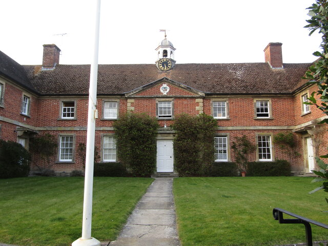
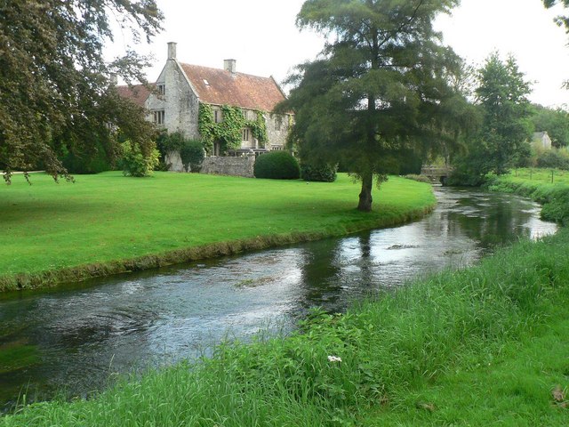
Corton is a small village in the Wylye Valley, Wiltshire, about 5 miles southeast of Warminster and 14¼ miles northwest of Salisbury. There is much evidence of ancient settlement in the area, including Corton Long Barrow on Barrow Hill, southwest of the village. Most working residents in the village commute.](https://s1.geograph.org.uk/geophotos/07/34/49/7344917_7b95e644.jpg)
![Corton village [2] This path to Heytesbury leaves the road opposite the cemetery.
Corton is a small village in the Wylye Valley, Wiltshire, about 5 miles southeast of Warminster and 14¼ miles northwest of Salisbury. There is much evidence of ancient settlement in the area, including Corton Long Barrow on Barrow Hill, southwest of the village. Most working residents in the village commute.](https://s2.geograph.org.uk/geophotos/07/34/49/7344918_d35452cc.jpg)
![Corton village [3] Corton cemetery is somewhat neglected.
Corton is a small village in the Wylye Valley, Wiltshire, about 5 miles southeast of Warminster and 14¼ miles northwest of Salisbury. There is much evidence of ancient settlement in the area, including Corton Long Barrow on Barrow Hill, southwest of the village. Most working residents in the village commute.](https://s3.geograph.org.uk/geophotos/07/34/49/7344919_7c4088ae.jpg)
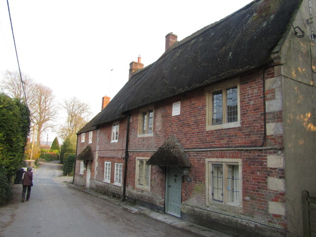
![Corton village [4] Little Manor is a late 17th century detached house with an 18th century addition and a later rear wing. Constructed of squared, coursed limestone with ashlar dressings under a thatch roof. Listed, grade II, with details at: <span class="nowrap"><a title="https://historicengland.org.uk/listing/the-list/list-entry/1036350" rel="nofollow ugc noopener" href="https://historicengland.org.uk/listing/the-list/list-entry/1036350">Link</a><img style="margin-left:2px;" alt="External link" title="External link - shift click to open in new window" src="https://s1.geograph.org.uk/img/external.png" width="10" height="10"/></span>
Corton is a small village in the Wylye Valley, Wiltshire, about 5 miles southeast of Warminster and 14¼ miles northwest of Salisbury. There is much evidence of ancient settlement in the area, including Corton Long Barrow on Barrow Hill, southwest of the village. Most working residents in the village commute.](https://s1.geograph.org.uk/geophotos/07/34/49/7344921_d30982aa.jpg)
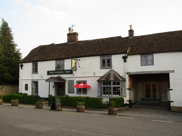
![Corton village [5] This former Baptist chapel was built in 1828, and enlarged in 1854 and 1914. It closed in 1965 and is now a private house. Constructed of brick under a tile roof.
Corton is a small village in the Wylye Valley, Wiltshire, about 5 miles southeast of Warminster and 14¼ miles northwest of Salisbury. There is much evidence of ancient settlement in the area, including Corton Long Barrow on Barrow Hill, southwest of the village. Most working residents in the village commute.](https://s2.geograph.org.uk/geophotos/07/34/49/7344922_7aea46d6.jpg)
![Corton village [6] Number 43, The Old Post Office, is the end house in a row of three. Built in the 18th century of brick under a thatch roof.
Corton is a small village in the Wylye Valley, Wiltshire, about 5 miles southeast of Warminster and 14¼ miles northwest of Salisbury. There is much evidence of ancient settlement in the area, including Corton Long Barrow on Barrow Hill, southwest of the village. Most working residents in the village commute.](https://s0.geograph.org.uk/geophotos/07/34/49/7344924_5eebf6fd.jpg)
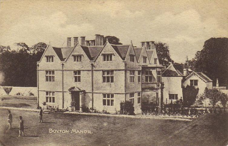
![Corton village [7] Numbers 47 and 48 are a pair of estate cottages built for the Boyton Manor estate in the mid 19th century. Constructed of squared, coursed limestone under a thatch roof. There are lean-to extensions at the rear. Listed, grade II, with details at: <span class="nowrap"><a title="https://historicengland.org.uk/listing/the-list/list-entry/1183269" rel="nofollow ugc noopener" href="https://historicengland.org.uk/listing/the-list/list-entry/1183269">Link</a><img style="margin-left:2px;" alt="External link" title="External link - shift click to open in new window" src="https://s1.geograph.org.uk/img/external.png" width="10" height="10"/></span>
Corton is a small village in the Wylye Valley, Wiltshire, about 5 miles southeast of Warminster and 14¼ miles northwest of Salisbury. There is much evidence of ancient settlement in the area, including Corton Long Barrow on Barrow Hill, southwest of the village. Most working residents in the village commute.](https://s1.geograph.org.uk/geophotos/07/34/49/7344925_dd8a17cf.jpg)
![Corton village [8] Old Farm Cottage is an early 18th century semi-detached house. Constructed of squared, coursed limestone and limestone ashlar under a pantile roof. Some original internal features remain. Listed, grade II, with details at: <span class="nowrap"><a title="https://historicengland.org.uk/listing/the-list/list-entry/1036348" rel="nofollow ugc noopener" href="https://historicengland.org.uk/listing/the-list/list-entry/1036348">Link</a><img style="margin-left:2px;" alt="External link" title="External link - shift click to open in new window" src="https://s1.geograph.org.uk/img/external.png" width="10" height="10"/></span>
Corton is a small village in the Wylye Valley, Wiltshire, about 5 miles southeast of Warminster and 14¼ miles northwest of Salisbury. There is much evidence of ancient settlement in the area, including Corton Long Barrow on Barrow Hill, southwest of the village. Most working residents in the village commute.](https://s2.geograph.org.uk/geophotos/07/34/49/7344926_dc663684.jpg)
Guernsey Belt is located at Grid Ref: ST9441 (Lat: 51.172737, Lng: -2.0824551)
Unitary Authority: Wiltshire
Police Authority: Wiltshire
What 3 Words
///afflicted.bashful.sweated. Near Boyton, Wiltshire
Nearby Locations
Related Wikis
Knook
Knook is a small village and civil parish in Wiltshire, England. The village lies to the north of the River Wylye at the edge of Salisbury Plain, about...

Upton Lovell
Upton Lovell is a village and civil parish in Wiltshire, England. It lies on the A36, in the Wylye valley about 5 miles (8.0 km) southeast of Warminster...

Codford railway station
Codford railway station was an intermediate station on the Salisbury branch line of the Great Western Railway built along the Wylye valley to connect Warminster...
Boyton, Wiltshire
Boyton is a village and civil parish in Wiltshire, England. It lies in the Wylye Valley within Salisbury Plain, about 6 miles (10 km) south-east of Warminster...
Nearby Amenities
Located within 500m of 51.172737,-2.0824551Have you been to Guernsey Belt?
Leave your review of Guernsey Belt below (or comments, questions and feedback).