Mickle Hill

Hill, Mountain in Yorkshire Craven

England

Mickle Hill

Oldfield Laithe On the western lower slopes of Flasby Fell.
Oldfield Laithe Credit: Bill Boaden

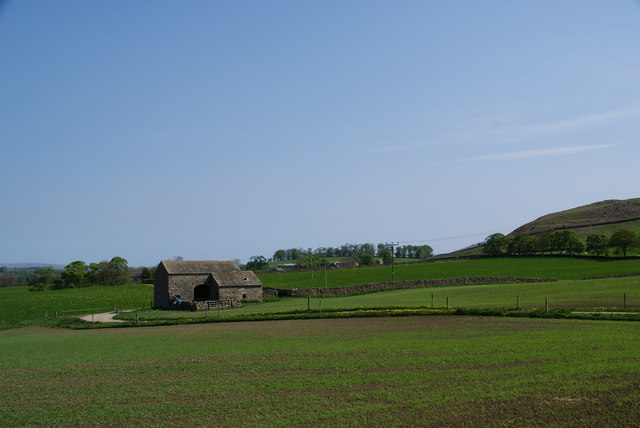
Mickle Hill is a hill located in Yorkshire, England. It is situated in the northwestern part of the county, near the village of Rawdon. The hill is part of the larger area known as the Yorkshire Dales, which is renowned for its scenic beauty and natural landscapes.

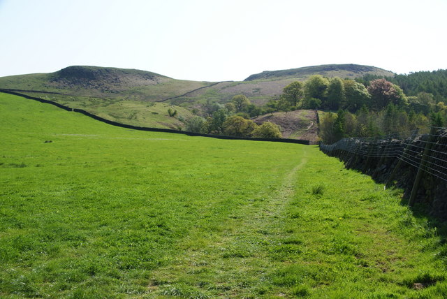
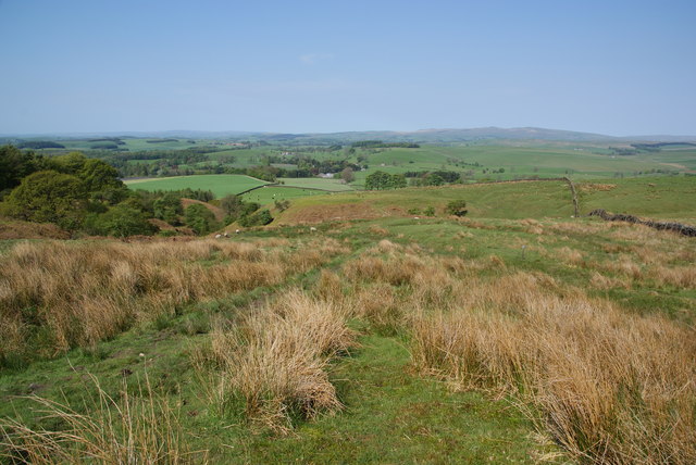
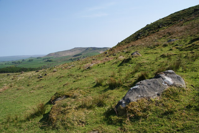
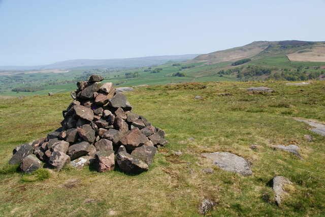
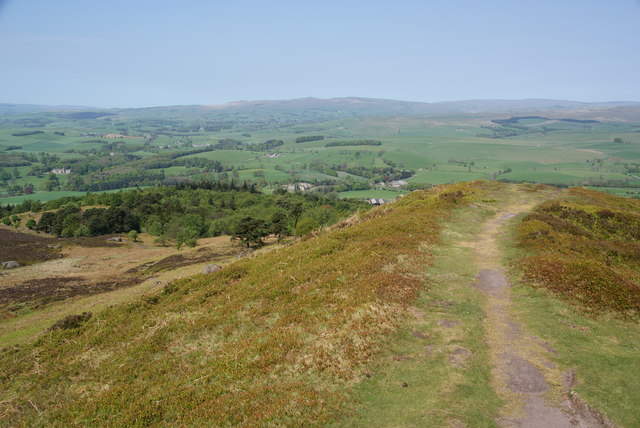
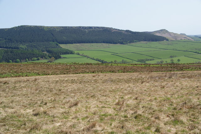
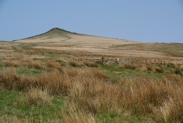
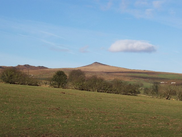
Mickle Hill stands at an elevation of approximately 400 meters (1,312 feet) above sea level, making it a prominent geographical feature in the region. It is characterized by its rolling green slopes and rocky outcrops, which provide stunning views of the surrounding countryside. The hill is covered in a mixture of grasses, heather, and other vegetation, giving it a vibrant and diverse appearance.

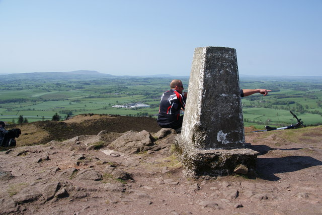
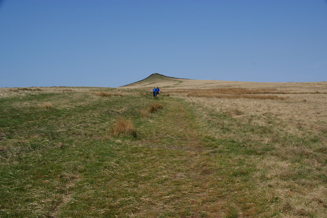
Visitors to Mickle Hill can enjoy various activities such as hiking, walking, and birdwatching. The hill is intersected by a network of footpaths and trails, allowing individuals to explore its slopes and take in the breathtaking vistas. The area is also home to a variety of wildlife, including birds of prey, rabbits, and deer, making it a popular spot for nature enthusiasts.

In addition to its natural beauty, Mickle Hill has historical significance. It has been inhabited for centuries, and remnants of ancient settlements and fortifications can still be found on its slopes. These archaeological sites provide a glimpse into the area's rich history and offer opportunities for further exploration and discovery.

Overall, Mickle Hill is a captivating destination that combines stunning natural landscapes with a rich cultural heritage. Its scenic beauty, diverse wildlife, and historical significance make it a must-visit location for both locals and tourists alike.

If you have any feedback on the listing, please let us know in the comments section below.
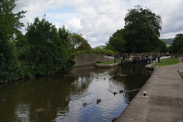
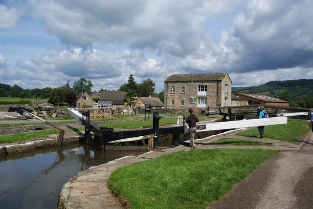
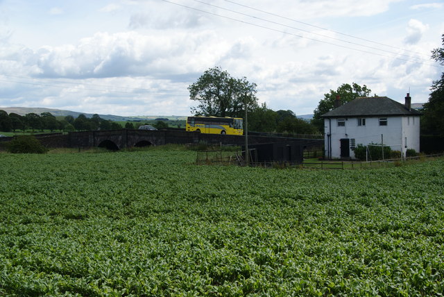
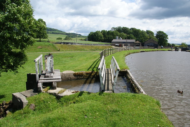
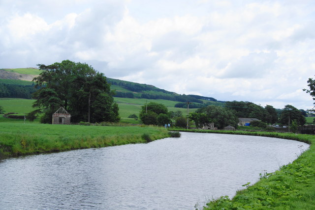
Mickle Hill Images

Images are sourced within 2km of 53.988052/-2.0789633 or Grid Reference SD9454. Thanks to Geograph Open Source API. All images are credited.

Oldfield Laithe On the western lower slopes of Flasby Fell.
Oldfield Laithe
On the western lower slopes of Flasby Fell.
Path heading for Flasby Fell The access land begins at the next wall. On the map, the path strikes further left to the gap in the wall, but most current usage keeps by the wall till later.
Path heading for Flasby Fell
The access land begins at the next wall. On the map, the path strikes further left to the gap in the wall, but most current usage keeps by the wall till later.
The lower slopes of Flasby Fell A small beck runs down here, with the potential for making the ground boggy. In the distance are the Bowland hills.
The lower slopes of Flasby Fell
A small beck runs down here, with the potential for making the ground boggy. In the distance are the Bowland hills.
The northern side of Rough Haw Beyond is Rylstone Fell.
The northern side of Rough Haw
Beyond is Rylstone Fell.
Cairn at the top of Rough Haw Rylstone Fell is behind.
Cairn at the top of Rough Haw
Rylstone Fell is behind.
The gap between Rough Haw and Sharp Haw Looking from Rough Haw towards Sharp Haw.
The gap between Rough Haw and Sharp Haw
Looking from Rough Haw towards Sharp Haw.
The north end of Sharp Haw hilltop This is taken from the trig point.
The north end of Sharp Haw hilltop
This is taken from the trig point.
Trig point on Sharp Haw It wasn't possible to view this without people. In the distance is Pendle, and to the right of it Longridge Fell.
Trig point on Sharp Haw
It wasn't possible to view this without people. In the distance is Pendle, and to the right of it Longridge Fell.
Skyrakes A large expanse of smoothly contoured open moorland.
Skyrakes
A large expanse of smoothly contoured open moorland.
On Skyrakes Looking east. You can just see the green strip which is the farmland around Skyrakes Farm. On the opposite side of the valley is Crookrise Wood and Crookrise Crag above it, with Embsay Crag over to the right.
On Skyrakes
Looking east. You can just see the green strip which is the farmland around Skyrakes Farm. On the opposite side of the valley is Crookrise Wood and Crookrise Crag above it, with Embsay Crag over to the right.
The beginning of access land on Skyrakes The access land begins at the gate, but there isn't a major difference in terrain. Behind is Sharp Haw.
The beginning of access land on Skyrakes
The access land begins at the gate, but there isn't a major difference in terrain. Behind is Sharp Haw.
Confluence of Eshton Beck and Flasby Beck Flasby beck is joining up here with the larger Eshton Beck
Confluence of Eshton Beck and Flasby Beck
Flasby beck is joining up here with the larger Eshton Beck
Ducks by Lock 32 of the Leeds and Liverpool Canal The lock can accommodate two barges, and two are just about to emerge from the lock.
Ducks by Lock 32 of the Leeds and Liverpool Canal
The lock can accommodate two barges, and two are just about to emerge from the lock.
Lock 31 on the Leeds and Liverpool Canal This is by the Eshton Road bridge on the north side of Gargrave.
Lock 31 on the Leeds and Liverpool Canal
This is by the Eshton Road bridge on the north side of Gargrave.
A crop between the A65 and the Leeds and Liverpool Canal I didn't work out what was growing here. The road bridge crosses Eshton Brook which will join the River Aire shortly.
A crop between the A65 and the Leeds and Liverpool Canal
I didn't work out what was growing here. The road bridge crosses Eshton Brook which will join the River Aire shortly.
Sluice on the Leeds and Liverpool Canal This allows surplus water to flow into Eshton Brook.
Sluice on the Leeds and Liverpool Canal
This allows surplus water to flow into Eshton Brook.
A bend in the Leeds and Liverpool Canal This stretch  east of Gragrave seems wider than normal.
A bend in the Leeds and Liverpool Canal
This stretch east of Gragrave seems wider than normal.
Show me another place!

Mickle Hill is located at Grid Ref: SD9454 (Lat: 53.988052, Lng: -2.0789633)

Division: West Riding

Administrative County: North Yorkshire

District: Craven

Police Authority: North Yorkshire

What 3 Words

///convinces.sweated.generated. Near Gargrave, North Yorkshire

Related Wikis

Sharp Haw

Sharp Haw is a hill on the southern edge of the Yorkshire Dales, located just within the National Park. Being the last outpost of the hills before the...

Eshton

Eshton is a small village and civil parish in the Craven district of North Yorkshire, England. At the 2011 Census the population was less than 100 and...

Gargrave

Gargrave is a large village and civil parish in the Craven district located along the A65, 4 miles (6 km) north-west of Skipton in North Yorkshire, England...

Flasby

Flasby is a hamlet in the Yorkshire Dales in North Yorkshire, England. It is one of the two settlements, with Winterburn, in the civil parish of Flasby...

Nearby Amenities

Located within 500m of 53.988052,-2.0789633
Mickle Hill
Natural: peak
Source: OS 1:25k
Lat/Long: 53.9883899/-2.0794019
Monk Hill
Natural: peak
Source: OS 1:25k
Lat/Long: 53.9917834/-2.0827707
Robin Hill
Natural: peak
Source: OS 1:25k
Lat/Long: 53.9895632/-2.0847234
The data included in this document is from www.openstreetmap.org. The data is made available under ODbL.

Have you been to Mickle Hill?

Leave your review of Mickle Hill below (or comments, questions and feedback).