Whinney Hill
Hill, Mountain in Berwickshire
Scotland
Whinney Hill
Whinney Hill is a prominent hill located in the county of Berwickshire, Scotland. Standing at an elevation of approximately 376 meters (1,234 feet), it offers breathtaking panoramic views of the surrounding countryside and the North Sea.
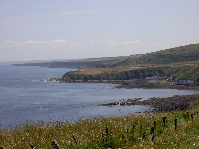
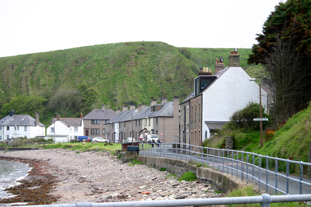
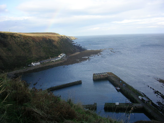
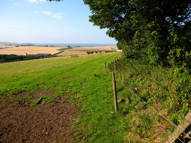
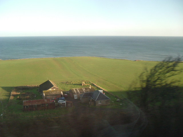
Situated about 5 kilometers south of the town of Eyemouth, Whinney Hill is part of the Southern Uplands range, known for its rolling hills and picturesque landscapes. Covered in heather and grass, the hill is an important habitat for a variety of flora and fauna, including birds of prey and rare plants.
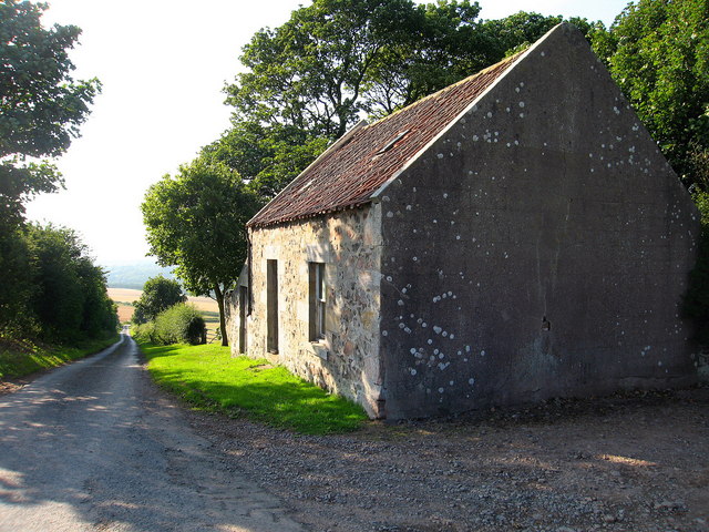
The hill is easily accessible by foot, with several well-marked trails leading to its summit. The main route starts from the village of Coldingham, where visitors can embark on a moderate hike that takes approximately two hours to complete. Along the way, hikers can enjoy the peaceful surroundings and spot wildlife such as rabbits and deer.
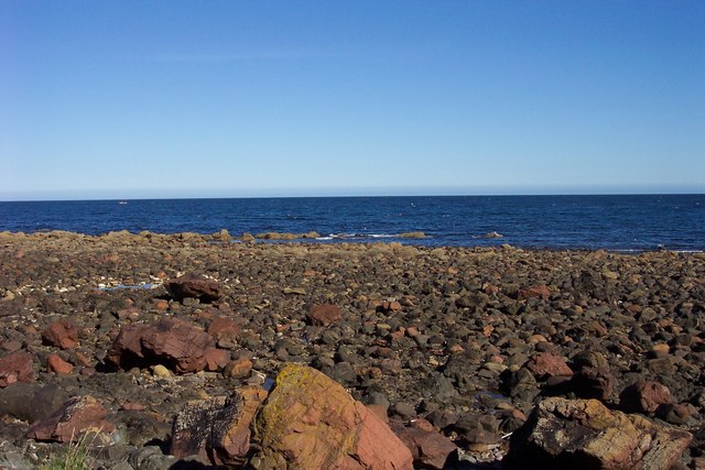
Reaching the top of Whinney Hill rewards visitors with stunning views of the Berwickshire coast and the nearby St. Abb's Head, a dramatic cliff formation that is home to a seabird sanctuary. On clear days, it is even possible to see as far as the Farne Islands, located off the Northumberland coast.
Whinney Hill is a popular destination for nature lovers, hikers, and photographers, offering a chance to immerse oneself in the natural beauty of the Berwickshire countryside and enjoy the tranquility of the Scottish landscape.
If you have any feedback on the listing, please let us know in the comments section below.
Whinney Hill Images
Images are sourced within 2km of 55.833446/-2.0844766 or Grid Reference NT9460. Thanks to Geograph Open Source API. All images are credited.


Whinney Hill is located at Grid Ref: NT9460 (Lat: 55.833446, Lng: -2.0844766)
Unitary Authority: The Scottish Borders
Police Authority: The Lothians and Scottish Borders
What 3 Words
///extremely.escapes.averts. Near Eyemouth, Scottish Borders
Nearby Locations
Related Wikis
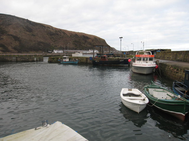
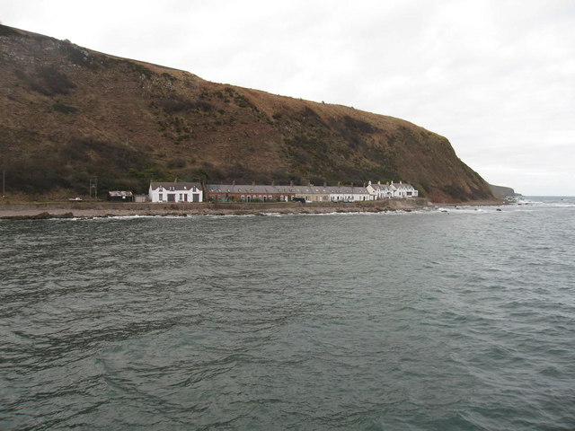
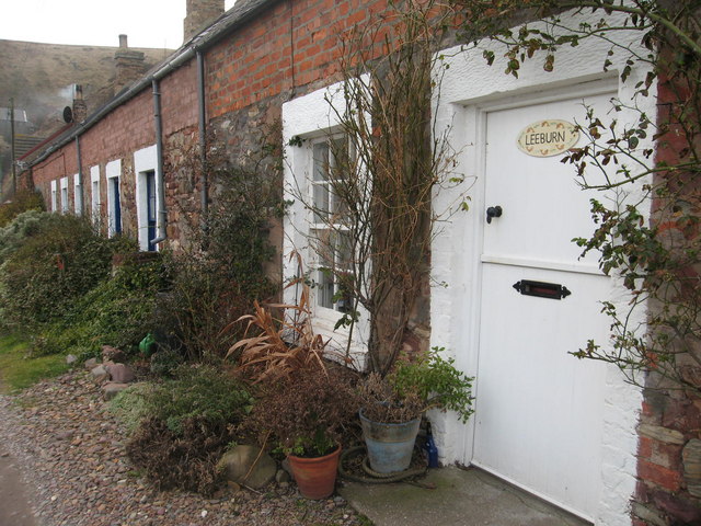
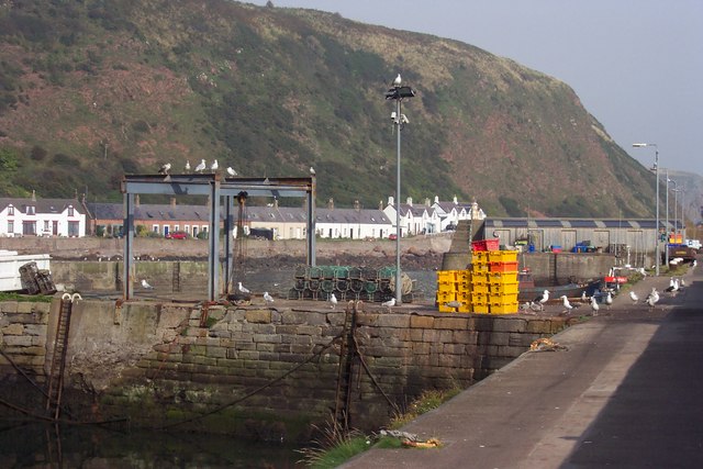
Burnmouth
Burnmouth is a small fishing village located adjacent to the A1 road on the east coast of Scotland. It is the first village in Scotland on the A1, after...

Burnmouth railway station
Burnmouth railway station served the village of Burnmouth, Ayton, Scotland from 1848 to 1962 on the East Coast Main Line. == History == There is some confusion...

Ross, Scottish Borders
Ross is a hamlet on the coast of the Scottish Borders area of Scotland, south of Burnmouth, in the parish of Ayton, and close to the A1. Ross is one of...
Ayton railway station
Ayton railway station was a station which served the village of Ayton in the Scottish area of Scottish Borders. It was located on what is now known as...
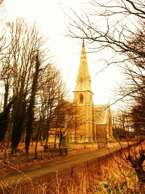
Ayton Parish Church
Ayton and Burnmouth Parish Church is a member church (Scots: kirk) of the Church of Scotland, serving the communities of Ayton and Burnmouth in the Scottish...

Lamberton Skerrs
Lamberton Skerrs is towards the southernmost point on the east coast of Scotland. It was the scene of a building known as the "Smuggler's Bothy" which...
Ayton, Scottish Borders
Ayton is a small village located in the historic county of Berwickshire, today part of the Scottish Borders region. It is on the Eye Water, from which...
Lamberton Castle
Lamberton Castle was a castle located at Lamberton, in Scottish Borders, Scotland. The castle was a stronghold of the Lindsay family. It was the caput...
Nearby Amenities
Located within 500m of 55.833446,-2.0844766Have you been to Whinney Hill?
Leave your review of Whinney Hill below (or comments, questions and feedback).