Hill of Tramaud

Hill, Mountain in Aberdeenshire

Scotland

Hill of Tramaud

Mill of Mundurno? Behind Premier Inn & restaurant bearing that name
Mill of Mundurno? Credit: Jim Smillie

The Hill of Tramaud is a prominent geographical feature located in Aberdeenshire, Scotland. Rising to a height of approximately 385 meters (1263 feet), it is classified as a hill rather than a mountain. The hill is situated near the village of Fetterangus, about 8 kilometers (5 miles) southwest of the town of Peterhead.

The Hill of Tramaud is characterized by its distinctive shape and composition. It is primarily composed of granite, which gives it a rugged and rocky appearance. The hill is covered in heather, grasses, and scattered shrubs, providing a diverse habitat for various flora and fauna.

From the summit of the Hill of Tramaud, visitors are rewarded with panoramic views of the surrounding countryside. On a clear day, it is possible to see as far as the North Sea coast and the nearby Buchan countryside. The hill's elevated position also makes it a popular spot for hikers and nature enthusiasts, who can enjoy the picturesque landscapes and the peaceful atmosphere.

The Hill of Tramaud holds historical significance as well. It is known to have been inhabited since prehistoric times, with evidence of ancient settlements and burial sites discovered in the area. The hill also played a role during the Jacobite rebellions of the 18th century, as it provided a vantage point for observing and strategizing.

Overall, the Hill of Tramaud is a notable landmark in Aberdeenshire, offering natural beauty, recreational opportunities, and a glimpse into the region's rich history.

If you have any feedback on the listing, please let us know in the comments section below.

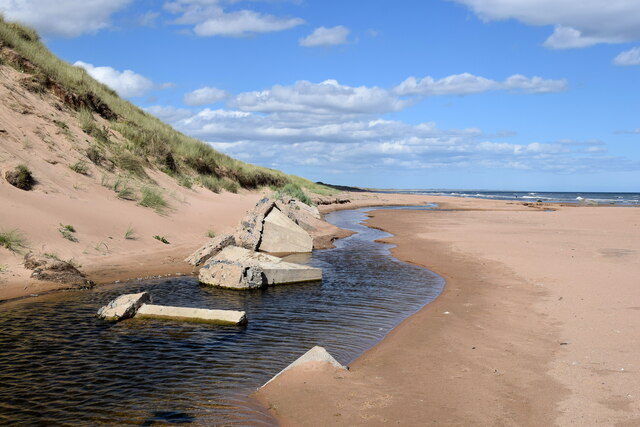
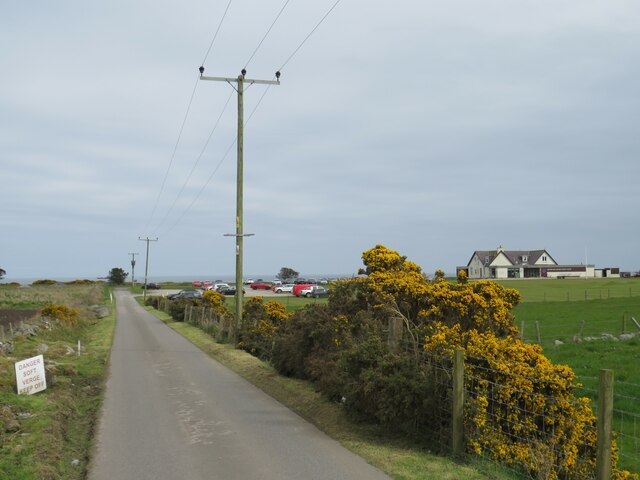
Hill of Tramaud Images

Images are sourced within 2km of 57.21331/-2.0892192 or Grid Reference NJ9413. Thanks to Geograph Open Source API. All images are credited.

Mill of Mundurno? Behind Premier Inn & restaurant bearing that name
Mill of Mundurno?
Behind Premier Inn & restaurant bearing that name
View from Beer Garden Towards retail park on a grey Sunday morning
View from Beer Garden
Towards retail park on a grey Sunday morning
Premier Inn: Bridge of Don Mill of Mundurno restaurant on left
Premier Inn: Bridge of Don
Mill of Mundurno restaurant on left
Not such a black dog Black Dog rock has recently become encrusted with tiny barnacles with its true colour just showing on top of the head of the dog-shaped rock.   The prominent rock is part of the Belhelvie basic intrusion, being igneous bedrock formed between 485.4 and 443.8 million years ago during the Ordovician period.
Not such a black dog
Black Dog rock has recently become encrusted with tiny barnacles with its true colour just showing on top of the head of the dog-shaped rock. The prominent rock is part of the Belhelvie basic intrusion, being igneous bedrock formed between 485.4 and 443.8 million years ago during the Ordovician period.
Burn of Mundurno meets the sea The burn frequently changes course as it reaches the beach and it has recently cut into the adjacent sand dune and unearthed the remains of some buried tank traps.  The burn begins its journey to the sea at Corby Loch.  'Mundurno' means 'stony moor' according to Celtic Place-names in Aberdeenshire by John Milne.
Burn of Mundurno meets the sea
The burn frequently changes course as it reaches the beach and it has recently cut into the adjacent sand dune and unearthed the remains of some buried tank traps. The burn begins its journey to the sea at Corby Loch. 'Mundurno' means 'stony moor' according to Celtic Place-names in Aberdeenshire by John Milne.
Black dog by Blackdog Burn
Gorse bushes at Balgownie Links near Aberdeen A golf course driveway passing between gorse bushes at Balgownie Links, on the northern outskirts of Aberdeen.
Gorse bushes at Balgownie Links near Aberdeen
A golf course driveway passing between gorse bushes at Balgownie Links, on the northern outskirts of Aberdeen.
Murcar Links Golf Club, near Bridge of Don, Aberdeen The clubhouse at Murcar Links Golf Club, near Aberdeen on Scotland's North Sea coast.
Murcar Links Golf Club, near Bridge of Don, Aberdeen
The clubhouse at Murcar Links Golf Club, near Aberdeen on Scotland's North Sea coast.
Golf club access road near Bridge of Don, Aberdeen An access road leading to a golf club on Scotland's North Sea coast, close to Aberdeen.  The golf club's clubhouse is to the right of the image.

In the foreground, gorse bushes are flowering yellow.
Golf club access road near Bridge of Don, Aberdeen
An access road leading to a golf club on Scotland's North Sea coast, close to Aberdeen. The golf club's clubhouse is to the right of the image. In the foreground, gorse bushes are flowering yellow.
Golf club access road near Bridge of Don, Aberdeen An access driveway leading to a golf club on Balgownie Links, on Scotland's North Sea coast on the outskirts of Aberdeen.  The golf club's club house is visible to the right of the image.  In the foreground, gorse bushes are in flower along both sides of the driveway.
Golf club access road near Bridge of Don, Aberdeen
An access driveway leading to a golf club on Balgownie Links, on Scotland's North Sea coast on the outskirts of Aberdeen. The golf club's club house is visible to the right of the image. In the foreground, gorse bushes are in flower along both sides of the driveway.
Isolated house near Bridge of Don, Aberdeen An isolated house near Bridge of Don, on the northern outskirts of Aberdeen.
Isolated house near Bridge of Don, Aberdeen
An isolated house near Bridge of Don, on the northern outskirts of Aberdeen.
Berryhill Crescent, Bridge of Don, Aberdeen Berryhill Crescent is a recently-built road leading into an industrial estate at Bridge of Don, in the northern outskirts of Aberdeen on Scotland's North Sea coast.
Berryhill Crescent, Bridge of Don, Aberdeen
Berryhill Crescent is a recently-built road leading into an industrial estate at Bridge of Don, in the northern outskirts of Aberdeen on Scotland's North Sea coast.
Minor road at Bridge of Don, Aberdeen An un-named minor road at Bridge of Don, in the northern outskirts of Aberdeen on Scotland's North Sea coast.  The sea and an offshore wind farm can be seen in the distance.

The road leads to an isolated house and a golf club.
Minor road at Bridge of Don, Aberdeen
An un-named minor road at Bridge of Don, in the northern outskirts of Aberdeen on Scotland's North Sea coast. The sea and an offshore wind farm can be seen in the distance. The road leads to an isolated house and a golf club.
Berryhill Crescent, Bridge of Don, Aberdeen Berryhill Crescent is a recently-built road leading to an industrial estate at Bridge of Don, on the outskirts of Aberdeen on Scotland's North Sea coast.
Berryhill Crescent, Bridge of Don, Aberdeen
Berryhill Crescent is a recently-built road leading to an industrial estate at Bridge of Don, on the outskirts of Aberdeen on Scotland's North Sea coast.
Murcar Cottages at Bridge of Don, Aberdeen Murcar Cottages are situated on the northern outskirts of Aberdeen, on Scotland's North Sea coast.
Murcar Cottages at Bridge of Don, Aberdeen
Murcar Cottages are situated on the northern outskirts of Aberdeen, on Scotland's North Sea coast.
B999 road at Bridge of Don, Aberdeen A view of the B999 road at Bridge of Don, in the northern outskirts of Aberdeen.  The B999 begins at this point.
B999 road at Bridge of Don, Aberdeen
A view of the B999 road at Bridge of Don, in the northern outskirts of Aberdeen. The B999 begins at this point.
Bridge of Don Retail Park, Aberdeen Bridge of Don Retail Park is an out-of-town shopping development on the northern outskirts of Aberdeen.
Bridge of Don Retail Park, Aberdeen
Bridge of Don Retail Park is an out-of-town shopping development on the northern outskirts of Aberdeen.
Shared path at Bridge of Don, Aberdeen A path at Bridge of Don on the outskirts of Aberdeen.  The white markings painted on the path surface show that the path is shared by pedestrians and cyclists.
Shared path at Bridge of Don, Aberdeen
A path at Bridge of Don on the outskirts of Aberdeen. The white markings painted on the path surface show that the path is shared by pedestrians and cyclists.
Show me another place!

Hill of Tramaud is located at Grid Ref: NJ9413 (Lat: 57.21331, Lng: -2.0892192)

Unitary Authority: City of Aberdeen

Police Authority: North East

What 3 Words

///straying.unrealistic.pylons. Near Balmedie, Aberdeenshire

Related Wikis

Nearby Amenities

Located within 500m of 57.21331,-2.0892192
Material: wood
Power: pole
Lat/Long: 57.2089916/-2.0890653
Material: wood
Power: pole
Lat/Long: 57.2092225/-2.0884643
Material: wood
Power: pole
Lat/Long: 57.2097173/-2.0871244
Material: wood
Power: pole
Lat/Long: 57.2101879/-2.086767
Material: wood
Power: pole
Lat/Long: 57.2107475/-2.0865011
Power: pole
Lat/Long: 57.2159983/-2.0834699
Power: pole
Lat/Long: 57.2153453/-2.0823187
Power: pole
Lat/Long: 57.2147736/-2.0813909
The data included in this document is from www.openstreetmap.org. The data is made available under ODbL.

Have you been to Hill of Tramaud?

Leave your review of Hill of Tramaud below (or comments, questions and feedback).