Black Hill
Hill, Mountain in Dorset
England
Black Hill
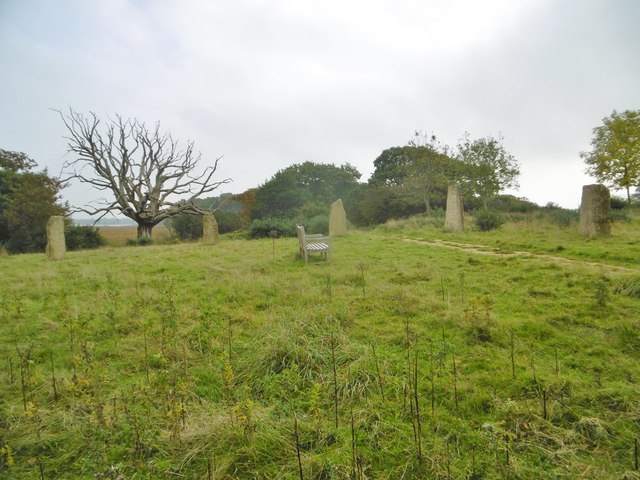
Black Hill is a prominent landmark situated in the county of Dorset, England. It is located within the Cranborne Chase and West Wiltshire Downs Area of Outstanding Natural Beauty, providing breathtaking panoramic views of the surrounding countryside. Despite its name, Black Hill is not actually a hill, but rather a relatively small mountain, reaching an elevation of 610 meters (2,000 feet) above sea level.
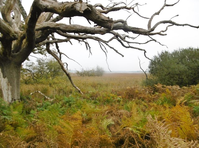
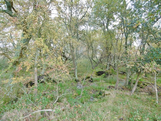
The site is rich in natural beauty, characterized by its rolling green slopes covered in heather and gorse, which create a striking contrast against the clear blue sky. The diverse flora and fauna found in the area make it a haven for nature enthusiasts and wildlife spotters alike.
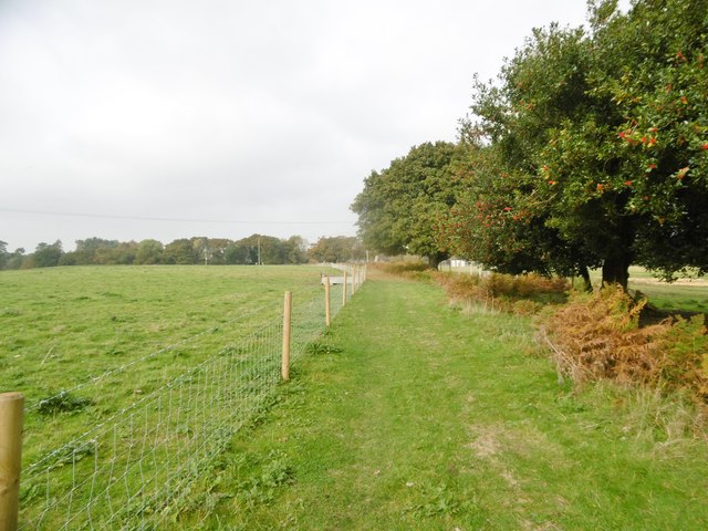
Black Hill is a popular destination for outdoor activities, attracting hikers, walkers, and photographers. Numerous well-marked trails crisscross the area, offering various routes of different difficulty levels, ensuring there is something for everyone. The summit rewards visitors with breathtaking views stretching as far as the eye can see, encompassing the nearby towns and villages, as well as the distant coastline.
The mountain is also steeped in history, with ancient burial mounds and earthworks dotting its landscape. These archaeological sites provide a glimpse into the area's past and offer a unique insight into the lives of the people who once inhabited this land.
Black Hill, with its natural beauty, recreational opportunities, and historical significance, is a true gem in the Dorset countryside, attracting visitors from near and far who seek to immerse themselves in the captivating landscapes and rich heritage of the region.
If you have any feedback on the listing, please let us know in the comments section below.
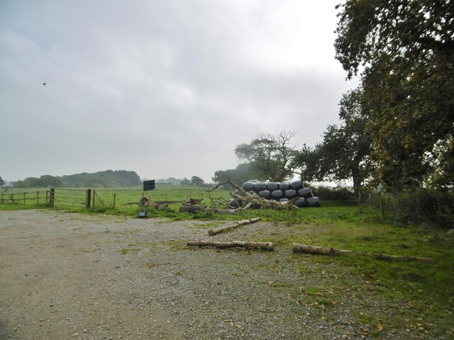
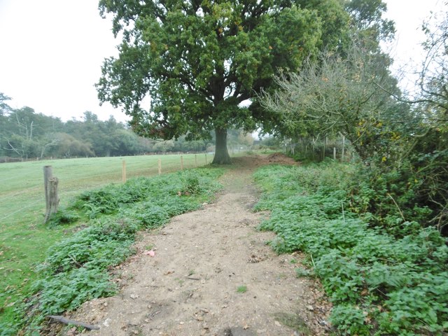
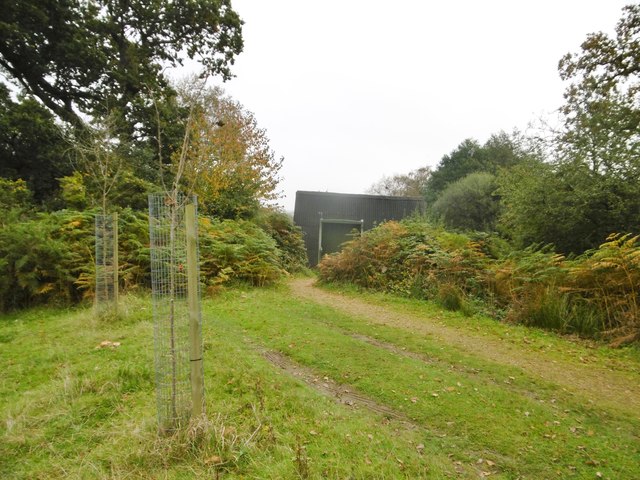
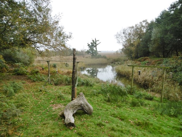
Black Hill Images
Images are sourced within 2km of 50.718574/-2.0776442 or Grid Reference SY9490. Thanks to Geograph Open Source API. All images are credited.

Black Hill is located at Grid Ref: SY9490 (Lat: 50.718574, Lng: -2.0776442)
Unitary Authority: Dorset
Police Authority: Dorset
What 3 Words
///models.mental.hotels. Near Wareham, Dorset
Nearby Locations
Related Wikis

Holton Heath
Holton Heath is an area of the parish of Wareham St. Martin, Dorset, England. The area includes a trading estate, on the site of the former Royal Navy...

Royal Naval Cordite Factory, Holton Heath
The Royal Naval Cordite Factory, Holton Heath (RNCF) was set up at Holton Heath, Dorset, England, in World War I to manufacture cordite for the Royal Navy...
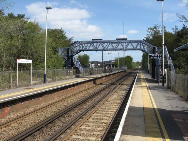
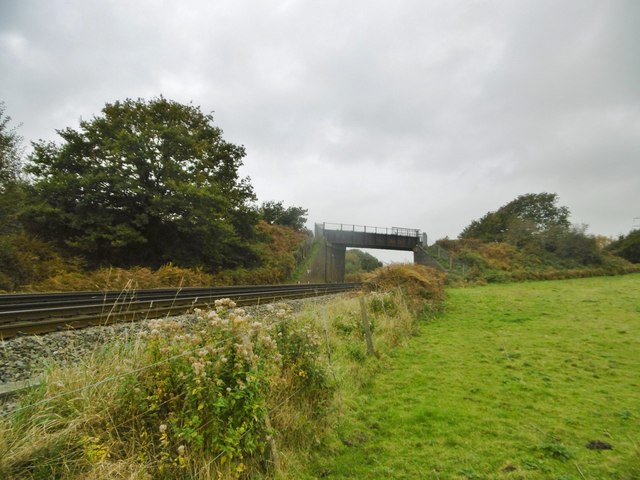
Holton Heath railway station
Holton Heath railway station serves the area of Holton Heath in Wareham St Martin, Dorset, England. It is 118 miles 61 chains (191.1 km) down the line...

Organford
Organford is a hamlet in the county of Dorset, England. It is located just south of the A35 between Lytchett Minster and Slepe. == References ==

Sandford, Dorset
Sandford is a village in the English county of Dorset, on the A351 road some two miles from Wareham and seven miles from Poole. Sandford forms the only...

Mid Dorset and North Poole (UK Parliament constituency)
Mid Dorset and North Poole is a constituency represented in the House of Commons of the UK Parliament since 2015 by Michael Tomlinson, a Conservative....
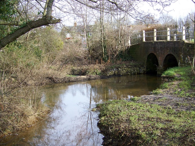
River Sherford
The River Sherford, also frequently called the Sherford River, is one of the four main rivers flowing into Poole Harbour in the county of Dorset, England...
Wareham St Martin
Wareham St Martin is a civil parish in the English county of Dorset. The parish spreads across a large, and mostly rural area to the north of the town...
Related Videos

Sandford Holiday Park - Poole, Dorset
Are you looking for a holiday destination that's packed with fantastic activities for the whole family? Well Sandford Holiday Park in ...

Fantastic Facilities at Sandford Holiday Park!
Are you looking for a holiday destination that's packed with fantastic activities for the whole family? Well Sandford Holiday Park in ...

OUR AMAZING HOLIDAY IN DORSET!!!
OUR AMAZING HOLIDAY IN DORSET!!! | SANDFORD HOLIDAY VLOG..! Welcome everyone our summer holiday of 2022. In this ...

sandford parkdean resort exploring
Sandford Parkdean Resort is a holiday park located in the UK. It offers a variety of accommodations, facilities, and activities for ...
Nearby Amenities
Located within 500m of 50.718574,-2.0776442Have you been to Black Hill?
Leave your review of Black Hill below (or comments, questions and feedback).