Backhill

Hill, Mountain in Aberdeenshire

Scotland

Backhill

Church and graveyard for Strichen Village
Church and graveyard for Strichen Village Credit: Ralph Greig

Backhill is a prominent hill/mountain located in Aberdeenshire, Scotland. It stands at an elevation of approximately 600 meters (1969 feet) above sea level. Situated in the eastern part of Aberdeenshire, Backhill offers breathtaking views of the surrounding landscape, making it a popular destination for outdoor enthusiasts and nature lovers.

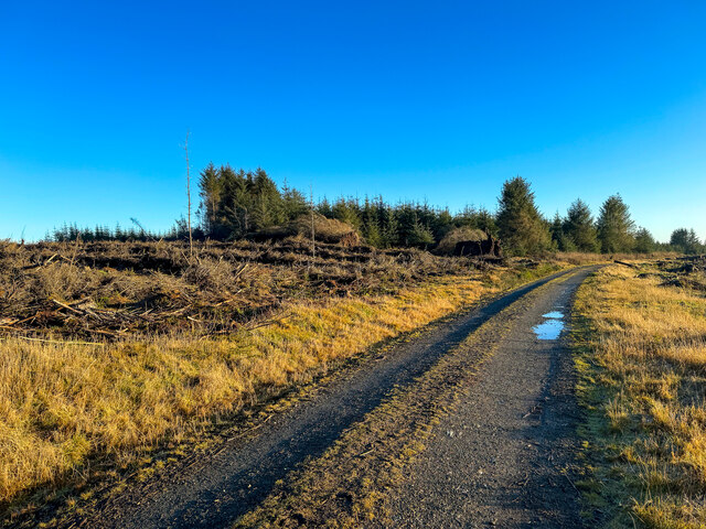
The hill/mountain is characterized by its rugged terrain, with steep slopes and rocky outcrops. It is covered in heather and grass, providing a diverse habitat for various plant and animal species. The hill is also home to a variety of bird species, including grouse and peregrine falcons, which can often be spotted soaring through the skies.

Backhill is a haven for hikers, who are drawn to its challenging trails and stunning vistas. There are several well-marked paths that lead to the summit, offering a range of difficulty levels to cater to different skill levels. As hikers ascend the hill, they can enjoy panoramic views of the surrounding countryside, including rolling hills, lush valleys, and distant mountains.

Aside from hiking, Backhill also attracts mountain bikers and climbers, who are drawn to its rugged terrain and challenging routes. The hill/mountain is known for its excellent rock climbing opportunities, with numerous crags and cliffs providing thrilling challenges for climbers of all levels of expertise.

Overall, Backhill in Aberdeenshire is a picturesque and adventurous destination for outdoor enthusiasts, offering stunning views, challenging trails, and a chance to immerse oneself in the natural beauty of Scotland's landscape.

If you have any feedback on the listing, please let us know in the comments section below.
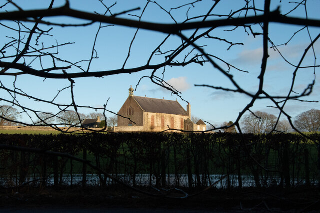
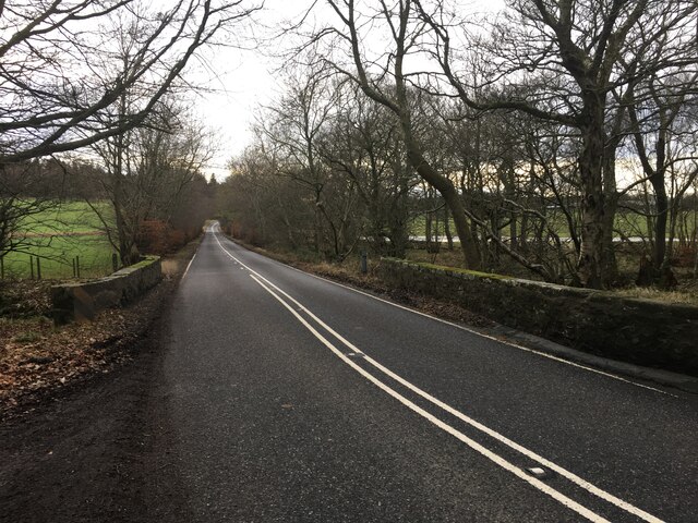
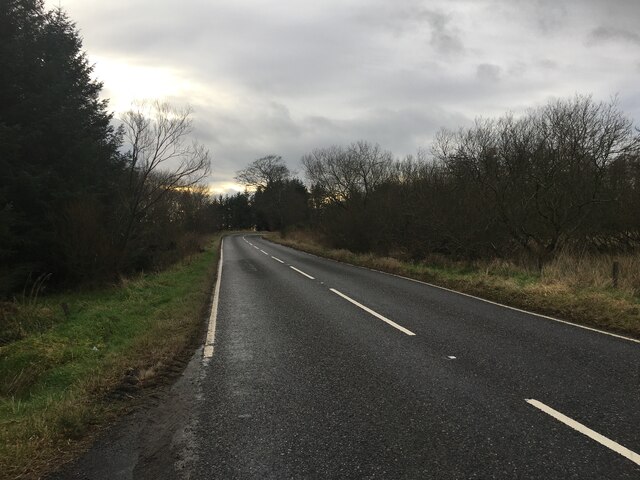
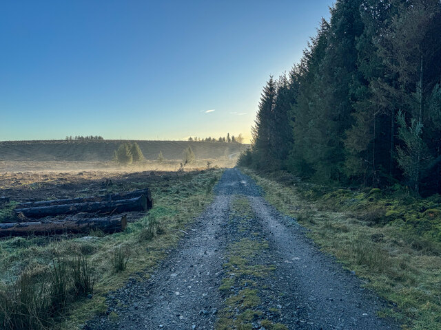
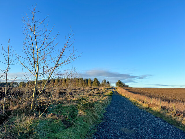
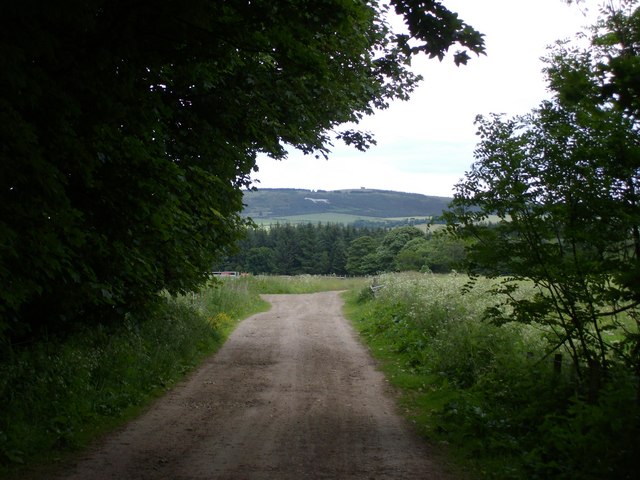
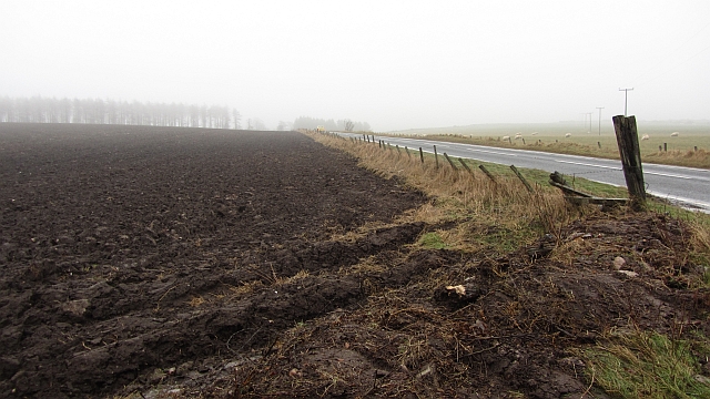
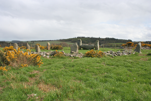
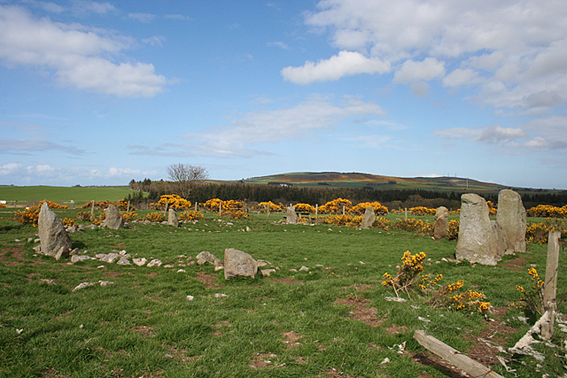
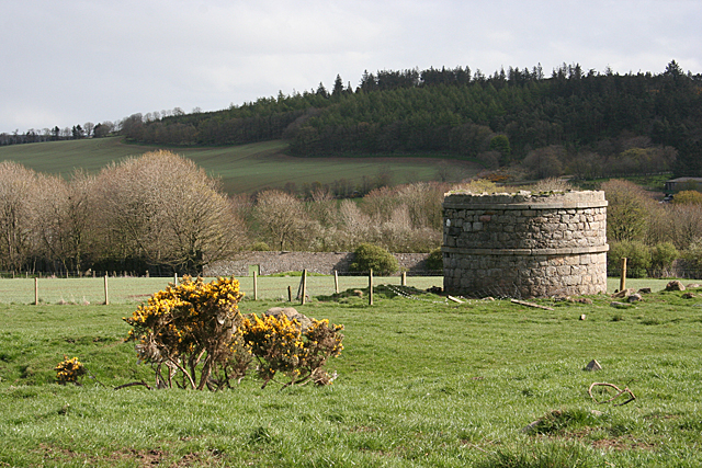
Backhill Images

Images are sourced within 2km of 57.564787/-2.0969161 or Grid Reference NJ9452. Thanks to Geograph Open Source API. All images are credited.

Church and graveyard for Strichen Village
A981 south of Strichen
A981 towards New Deer
White Cow Woods paths
White Cow woods paths
White Cow Woods paths
White Horse on Mormond Hill fae Strichen Mains
Ploughed  field  south of Strichen A dull day with fog formed by warm damp air encountering thawing snow.
Ploughed field south of Strichen
A dull day with fog formed by warm damp air encountering thawing snow.
Farm sign, Auchorthie With a stubble field in the corner between the main road and farm drive.
Farm sign, Auchorthie
With a stubble field in the corner between the main road and farm drive.
Strichen House Recumbent Stone Circle (1) This circle is a reconstruction. After a tenant farmer cleared it in 1830, the furious landlord made him rebuild it, but it was rebuilt in slightly the wrong place. This was completely removed in 1960. In 1979-1982 an archaeological investigation was undertaken, during which the correct positions of the stones were determined, and the circle was rebuilt on that basis. There are, however, some remaining anomalies in the alignment of some of the stones. See <span class="nowrap"><a title="http://canmore.rcahms.gov.uk/en/site/20754/details/strichen+house/" rel="nofollow ugc noopener" href="http://canmore.rcahms.gov.uk/en/site/20754/details/strichen+house/">Link</a><img style="margin-left:2px;" alt="External link" title="External link - shift click to open in new window" src="https://s1.geograph.org.uk/img/external.png" width="10" height="10"/></span> for more information. <a href="https://www.geograph.org.uk/photo/4468608">NJ9354 : Strichen House Recumbent Stone Circle (2)</a>
Strichen House Recumbent Stone Circle (1)
This circle is a reconstruction. After a tenant farmer cleared it in 1830, the furious landlord made him rebuild it, but it was rebuilt in slightly the wrong place. This was completely removed in 1960. In 1979-1982 an archaeological investigation was undertaken, during which the correct positions of the stones were determined, and the circle was rebuilt on that basis. There are, however, some remaining anomalies in the alignment of some of the stones. See LinkExternal link for more information. NJ9354 : Strichen House Recumbent Stone Circle (2)
Strichen House Recumbent Stone Circle (2) The circle from the corner of its fenced enclosure, with the recumbent and flankers to the right. The closest stone has fallen since the 1982 reconstruction. See <span class="nowrap"><a title="http://canmore.rcahms.gov.uk/en/site/20754/details/strichen+house/" rel="nofollow ugc noopener" href="http://canmore.rcahms.gov.uk/en/site/20754/details/strichen+house/">Link</a><img style="margin-left:2px;" alt="External link" title="External link - shift click to open in new window" src="https://s1.geograph.org.uk/img/external.png" width="10" height="10"/></span> for more information. <a href="https://www.geograph.org.uk/photo/4468630">NJ9354 : Strichen House Recumbent Stone Circle (3)</a>
Strichen House Recumbent Stone Circle (2)
The circle from the corner of its fenced enclosure, with the recumbent and flankers to the right. The closest stone has fallen since the 1982 reconstruction. See LinkExternal link for more information. NJ9354 : Strichen House Recumbent Stone Circle (3)
Strichen House Recumbent Stone Circle (3) The recumbent and flankers of the reconstructed circle. The positions of the stones are not quite in accord with the undisturbed circles elsewhere in that the flankers here protrude slightly beyond the face of the recumbent. See <span class="nowrap"><a title="http://canmore.rcahms.gov.uk/en/site/20754/details/strichen+house/" rel="nofollow ugc noopener" href="http://canmore.rcahms.gov.uk/en/site/20754/details/strichen+house/">Link</a><img style="margin-left:2px;" alt="External link" title="External link - shift click to open in new window" src="https://s1.geograph.org.uk/img/external.png" width="10" height="10"/></span> for more information. <a href="https://www.geograph.org.uk/photo/4468664">NJ9354 : Strichen House Recumbent Stone Circle (4)</a>
Strichen House Recumbent Stone Circle (3)
The recumbent and flankers of the reconstructed circle. The positions of the stones are not quite in accord with the undisturbed circles elsewhere in that the flankers here protrude slightly beyond the face of the recumbent. See LinkExternal link for more information. NJ9354 : Strichen House Recumbent Stone Circle (4)
Strichen House Doocot Only the lower part still stands. This doocot, with a larger than traditional internal diameter of 4 metres, is not an ancient monument. It dates from the 19th century, albeit before 1870 when the first edition of the Ordnance Survey six-inch map was surveyed.
Strichen House Doocot
Only the lower part still stands. This doocot, with a larger than traditional internal diameter of 4 metres, is not an ancient monument. It dates from the 19th century, albeit before 1870 when the first edition of the Ordnance Survey six-inch map was surveyed.
Strichen House Recumbent Stone Circle (4) An oblique view of the recumbent setting of the reconstructed circle. From this angle you can see that the flankers are set slightly in front of the face of the recumbent. See <span class="nowrap"><a title="http://canmore.rcahms.gov.uk/en/site/20754/details/strichen+house/" rel="nofollow ugc noopener" href="http://canmore.rcahms.gov.uk/en/site/20754/details/strichen+house/">Link</a><img style="margin-left:2px;" alt="External link" title="External link - shift click to open in new window" src="https://s1.geograph.org.uk/img/external.png" width="10" height="10"/></span> for more information. <a href="https://www.geograph.org.uk/photo/4468675">NJ9354 : Strichen House Recumbent Stone Circle (5)</a>
Strichen House Recumbent Stone Circle (4)
An oblique view of the recumbent setting of the reconstructed circle. From this angle you can see that the flankers are set slightly in front of the face of the recumbent. See LinkExternal link for more information. NJ9354 : Strichen House Recumbent Stone Circle (5)
Strichen House Recumbent Stone Circle (5) This is the eastern arc of the circle. As you get further away from the recumbent, the stones decrease in height. However there seems to be a lack of unanimity about the exact heights of the original stones before they were first cleared. See <span class="nowrap"><a title="http://canmore.rcahms.gov.uk/en/site/20754/details/strichen+house/" rel="nofollow ugc noopener" href="http://canmore.rcahms.gov.uk/en/site/20754/details/strichen+house/">Link</a><img style="margin-left:2px;" alt="External link" title="External link - shift click to open in new window" src="https://s1.geograph.org.uk/img/external.png" width="10" height="10"/></span> for more information. <a href="https://www.geograph.org.uk/photo/4468686">NJ9354 : Strichen House Recumbent Stone Circle (6)</a>
Strichen House Recumbent Stone Circle (5)
This is the eastern arc of the circle. As you get further away from the recumbent, the stones decrease in height. However there seems to be a lack of unanimity about the exact heights of the original stones before they were first cleared. See LinkExternal link for more information. NJ9354 : Strichen House Recumbent Stone Circle (6)
Strichen House Recumbent Stone Circle (6) The circle is of modest dimensions, about 13 metres across from north to south, so it is easy enough to photograph the whole thing. See <span class="nowrap"><a title="http://canmore.rcahms.gov.uk/en/site/20754/details/strichen+house/" rel="nofollow ugc noopener" href="http://canmore.rcahms.gov.uk/en/site/20754/details/strichen+house/">Link</a><img style="margin-left:2px;" alt="External link" title="External link - shift click to open in new window" src="https://s1.geograph.org.uk/img/external.png" width="10" height="10"/></span> for more information. <a href="https://www.geograph.org.uk/photo/4468602">NJ9354 : Strichen House Recumbent Stone Circle (1)</a>
Strichen House Recumbent Stone Circle (6)
The circle is of modest dimensions, about 13 metres across from north to south, so it is easy enough to photograph the whole thing. See LinkExternal link for more information. NJ9354 : Strichen House Recumbent Stone Circle (1)
Beware of the Bull! The path to the fenced enclosure round the stone circle crosses an open field. Having entered the enclosure without seeing any livestock in the surrounding field, I found it rather disconcerting to notice an apparently solitary Aberdeen-Angus bull just outside the enclosure; and even more worrying that the fence is so inadequate in this corner! However the bull, after taking a good look at me, decided that the grass was more interesting than me, and continued to graze peacefully. I have to admit to skulking between the whins and the far fence on my way back out again.
Beware of the Bull!
The path to the fenced enclosure round the stone circle crosses an open field. Having entered the enclosure without seeing any livestock in the surrounding field, I found it rather disconcerting to notice an apparently solitary Aberdeen-Angus bull just outside the enclosure; and even more worrying that the fence is so inadequate in this corner! However the bull, after taking a good look at me, decided that the grass was more interesting than me, and continued to graze peacefully. I have to admit to skulking between the whins and the far fence on my way back out again.
Strichen auld kirk Built ca. 1799 to replace the adjacent 1623 kirk, but now just a ruinous shell.  The former free kirk on the High Street (which has a far more convenient location in the village centre) has replaced it as the parish church.
Strichen auld kirk
Built ca. 1799 to replace the adjacent 1623 kirk, but now just a ruinous shell. The former free kirk on the High Street (which has a far more convenient location in the village centre) has replaced it as the parish church.
Show me another place!

Backhill is located at Grid Ref: NJ9452 (Lat: 57.564787, Lng: -2.0969161)

Unitary Authority: Aberdeenshire

Police Authority: North East

What 3 Words

///obviously.coining.diverting. Near New Pitsligo, Aberdeenshire

Nearby Locations

Backhill

Related Wikis

Strichen railway station

Strichen railway station was a railway station in Strichen, Aberdeenshire. == History == The station was opened on 24 April 1865 by the Formartine and...
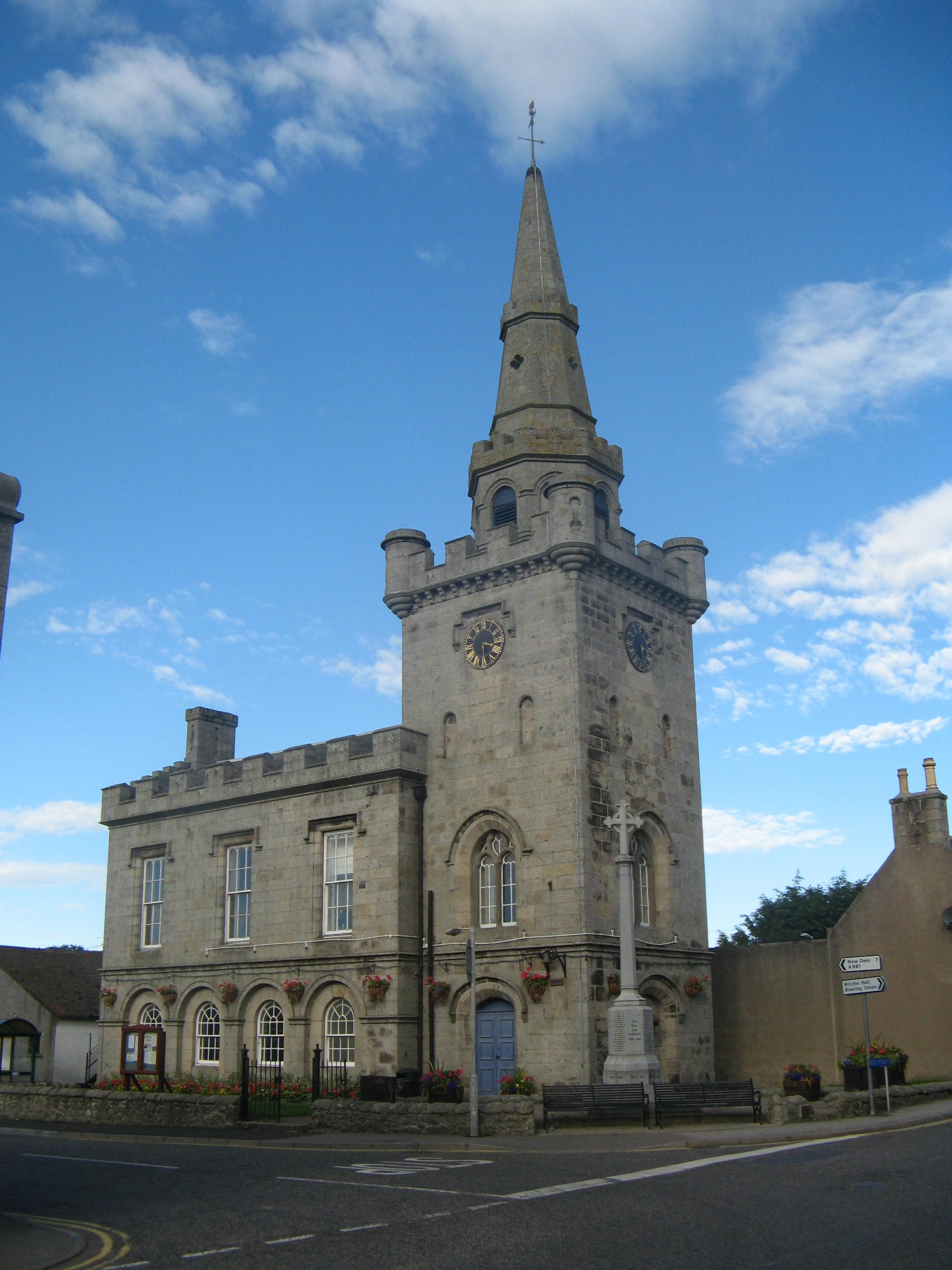
Strichen Town House

Strichen Town House is a municipal structure in High Street, Strichen, Aberdeenshire, Scotland. The building, which was the meeting place of Strichen Parish...

Strichen

Strichen is a village in Aberdeenshire, Scotland. It sits on the A981, connecting it to New Deer 7.2 miles (12 km) to the southwest and Fraserburgh 8 miles...

Brucklay railway station

Brucklay railway station was a former railway station in Brucklay, Aberdeenshire. == History == The station was opened on 24 April 1865 by the Formartine...

Nearby Amenities

Located within 500m of 57.564787,-2.0969161
Power: pole
Lat/Long: 57.5605669/-2.0966251
Power: pole
Lat/Long: 57.5610302/-2.0958486
Power: pole
Lat/Long: 57.5615107/-2.0950869
Power: pole
Lat/Long: 57.5619639/-2.0943064
Power: pole
Lat/Long: 57.5624329/-2.0935151
Power: pole
Lat/Long: 57.5629048/-2.0927829
Power: pole
Lat/Long: 57.5633566/-2.0920479
Power: pole
Lat/Long: 57.5638831/-2.0911574
Power: pole
Lat/Long: 57.5643953/-2.0903233
Power: pole
Lat/Long: 57.5648959/-2.0895213
Power: pole
Lat/Long: 57.5653346/-2.0888239
Power: pole
Lat/Long: 57.5674263/-2.0943868
Power: pole
Lat/Long: 57.5677902/-2.0935339
Power: pole
Lat/Long: 57.5681685/-2.0926166
Power: pole
Lat/Long: 57.5670695/-2.0954275
Power: pole
Lat/Long: 57.5662927/-2.0973587
Power: pole
Lat/Long: 57.5658784/-2.0983028
Power: pole
Lat/Long: 57.5654728/-2.099247
Power: pole
Lat/Long: 57.5654756/-2.1005344
Power: pole
Lat/Long: 57.5647017/-2.1012104
Power: pole
Lat/Long: 57.5642701/-2.1022725
Power: pole
Lat/Long: 57.5638011/-2.10334
Power: pole
Lat/Long: 57.5633983/-2.1043485
Power: pole
Lat/Long: 57.5650944/-2.1001802
Power: pole
Lat/Long: 57.5666574/-2.0963765
Power: pole
Lat/Long: 57.5653919/-2.1043833
Power: pole
Lat/Long: 57.5654121/-2.103062
Power: pole
Lat/Long: 57.5654333/-2.101808
The data included in this document is from www.openstreetmap.org. The data is made available under ODbL.

Have you been to Backhill?

Leave your review of Backhill below (or comments, questions and feedback).