Allesborough Hill

Hill, Mountain in Worcestershire Wychavon

England

Allesborough Hill

Bluebells beside the A4104 Every springtime there is a magnificent display of bluebells in this extended garden beside the A4104 to the west of Pershore.
Bluebells beside the A4104 Credit: Philip Halling

Allesborough Hill is a prominent feature located in Worcestershire, England. Situated in the northern part of the county, near the village of Allesborough, it is known for its picturesque landscape and historical significance.

Rising to an elevation of approximately 250 meters (820 feet), Allesborough Hill is often referred to as a hill rather than a mountain due to its modest size. Despite this, it offers breathtaking panoramic views of the surrounding countryside and nearby towns, including Kidderminster and Bewdley. On clear days, it is even possible to catch a glimpse of the Malvern Hills in the distance.

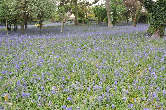
The hill itself is covered in lush green vegetation, with a variety of trees and plants dotting the landscape. It is a popular destination for hikers and nature enthusiasts, who come to explore the numerous footpaths that crisscross the area. These trails provide an opportunity to immerse oneself in the natural beauty of Worcestershire and observe the local wildlife, including birds, rabbits, and deer.

In addition to its natural splendor, Allesborough Hill has a rich historical background. It is believed to have been inhabited during the Iron Age, with evidence of ancient settlements and fortifications discovered on its slopes. The hill also played a role in the English Civil War, as it was reportedly used as a vantage point by troops to survey the surrounding area.

Today, Allesborough Hill continues to enchant visitors with its scenic beauty and historical significance. Whether one seeks a peaceful walk in nature or a glimpse into the past, this Worcestershire landmark offers a captivating experience for all who venture to its summit.

If you have any feedback on the listing, please let us know in the comments section below.

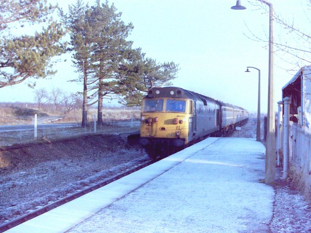
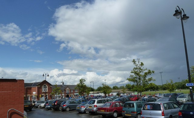
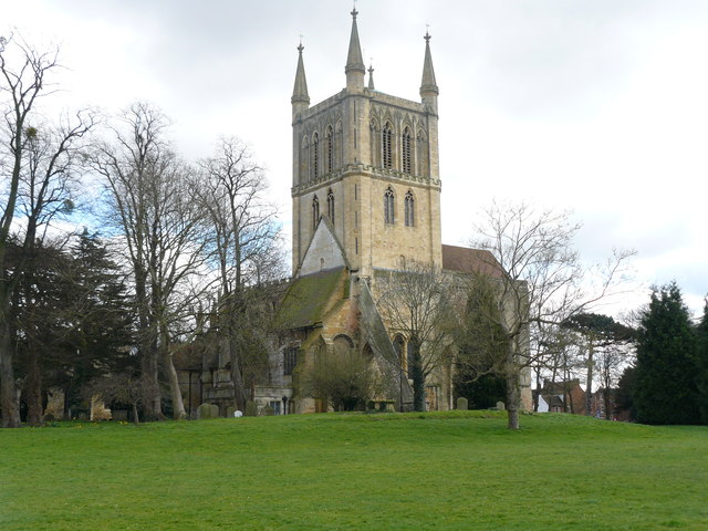
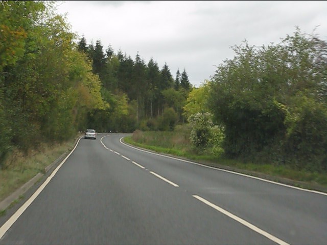
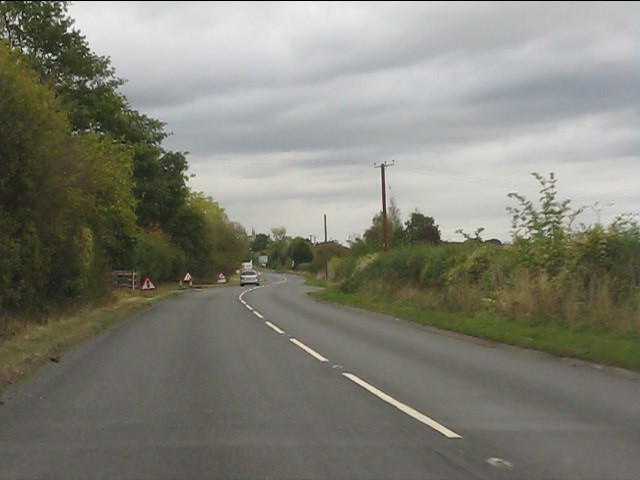
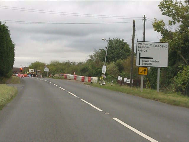
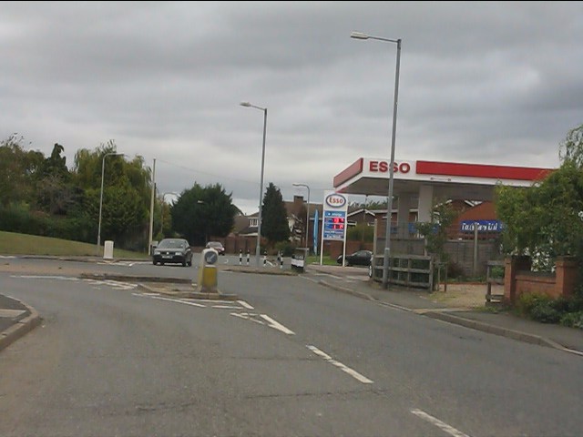
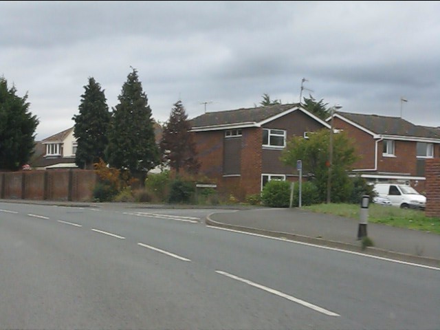
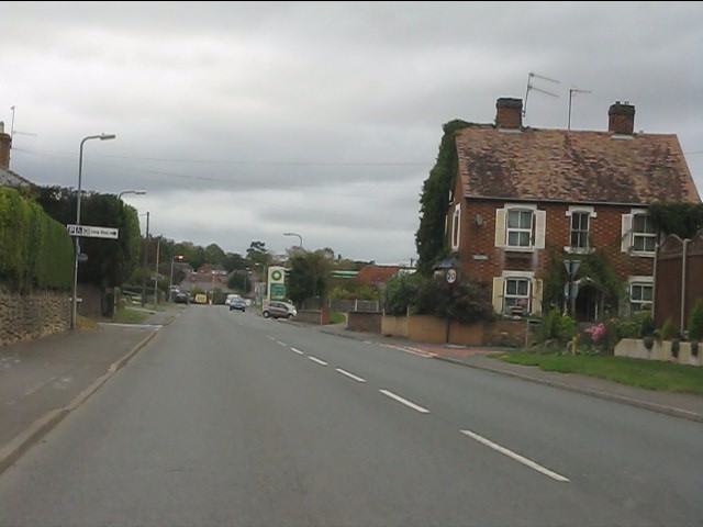
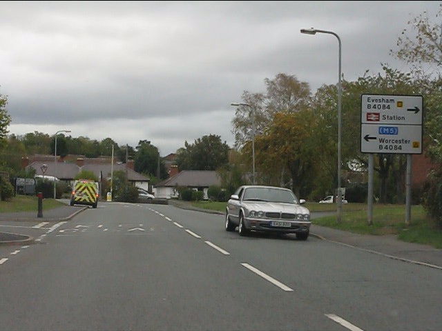
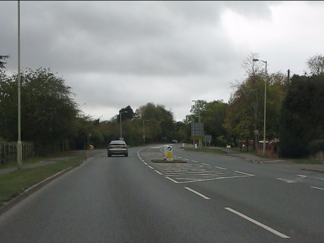
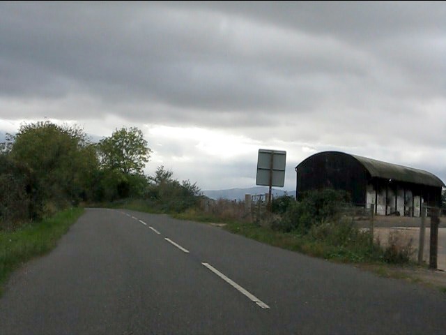
Allesborough Hill Images

Images are sourced within 2km of 52.117433/-2.0895229 or Grid Reference SO9346. Thanks to Geograph Open Source API. All images are credited.

Bluebells beside the A4104 Every springtime there is a magnificent display of bluebells in this extended garden beside the A4104 to the west of Pershore.
Bluebells beside the A4104
Every springtime there is a magnificent display of bluebells in this extended garden beside the A4104 to the west of Pershore.
Awaiting the builders This land beside the A4104 in Pershore is about to be built on.
Awaiting the builders
This land beside the A4104 in Pershore is about to be built on.
Work begins This land beside the A4104 is going to be built on.  Work has started as the ground is being excavated.
Work begins
This land beside the A4104 is going to be built on. Work has started as the ground is being excavated.
Bloor Homes devepment This land beside the A4104 in Pershore is about to be built on by Bloor Homes.
Bloor Homes devepment
This land beside the A4104 in Pershore is about to be built on by Bloor Homes.
Class 50 at Pershore Station, 1980 Class 50 diesel electric locomotive No 50039 approaches Pershore station during the winter of 1980 with a Paddington to Hereford train
Class 50 at Pershore Station, 1980
Class 50 diesel electric locomotive No 50039 approaches Pershore station during the winter of 1980 with a Paddington to Hereford train
Pershore retail market car park A freshly wetted scene after a sudden summer downpour .
Pershore retail market car park
A freshly wetted scene after a sudden summer downpour .
Pershore Abbey In fact, this is merely the chapel from what was originally a much larger complex.  The people of Pershore bought the church to save it from dissolution in the 1530s.

Pershore Abbey was originally granted its charter in 974, but the oldest parts of this building are from the 12th century.
Pershore Abbey
In fact, this is merely the chapel from what was originally a much larger complex. The people of Pershore bought the church to save it from dissolution in the 1530s. Pershore Abbey was originally granted its charter in 974, but the oldest parts of this building are from the 12th century.
A4104 alongside the River Avon
A4104 approaching Pershore
A4104 near Pershore cemetery
Welcome to Pershore - eventually Road works and 3-way traffic lights on the A4104.
Welcome to Pershore - eventually
Road works and 3-way traffic lights on the A4104.
Esso filling station on Three Springs Road
Modern housing on Abbey Crescent
Three Springs Road at New Road
Three Springs Road approaching Worcester Road
Worcester Road at Three Springs Road
Worcester Road climbing out of Pershore A rather battered route confirmatory sign is provided on what was once the main A44 (now B4084).
Worcester Road climbing out of Pershore
A rather battered route confirmatory sign is provided on what was once the main A44 (now B4084).
Barn at Allesborough Farm Despite a glowering sky there is plenty of evidence in the barn that the 2011 harvest is being brought in.  The distant Malvern Hills form part of the background.
Barn at Allesborough Farm
Despite a glowering sky there is plenty of evidence in the barn that the 2011 harvest is being brought in. The distant Malvern Hills form part of the background.
Show me another place!

Allesborough Hill is located at Grid Ref: SO9346 (Lat: 52.117433, Lng: -2.0895229)

Administrative County: Worcestershire

District: Wychavon

Police Authority: West Mercia

What 3 Words

///zips.remaking.loses. Near Pershore, Worcestershire

Nearby Locations

Allesborough Hill

Related Wikis

Wychavon

Wychavon is a local government district in Worcestershire, England, with a population size of 132,500 according to the 2021 census. Its council is based...
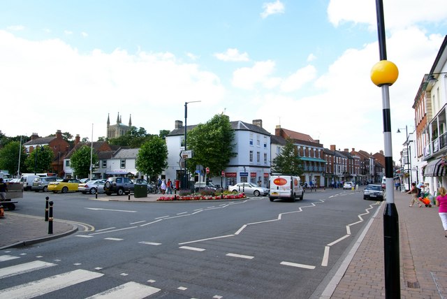
Pershore

Pershore is a market town and civil parish in the Wychavon district in Worcestershire, England, on the banks of the River Avon. At the 2011 census, the...
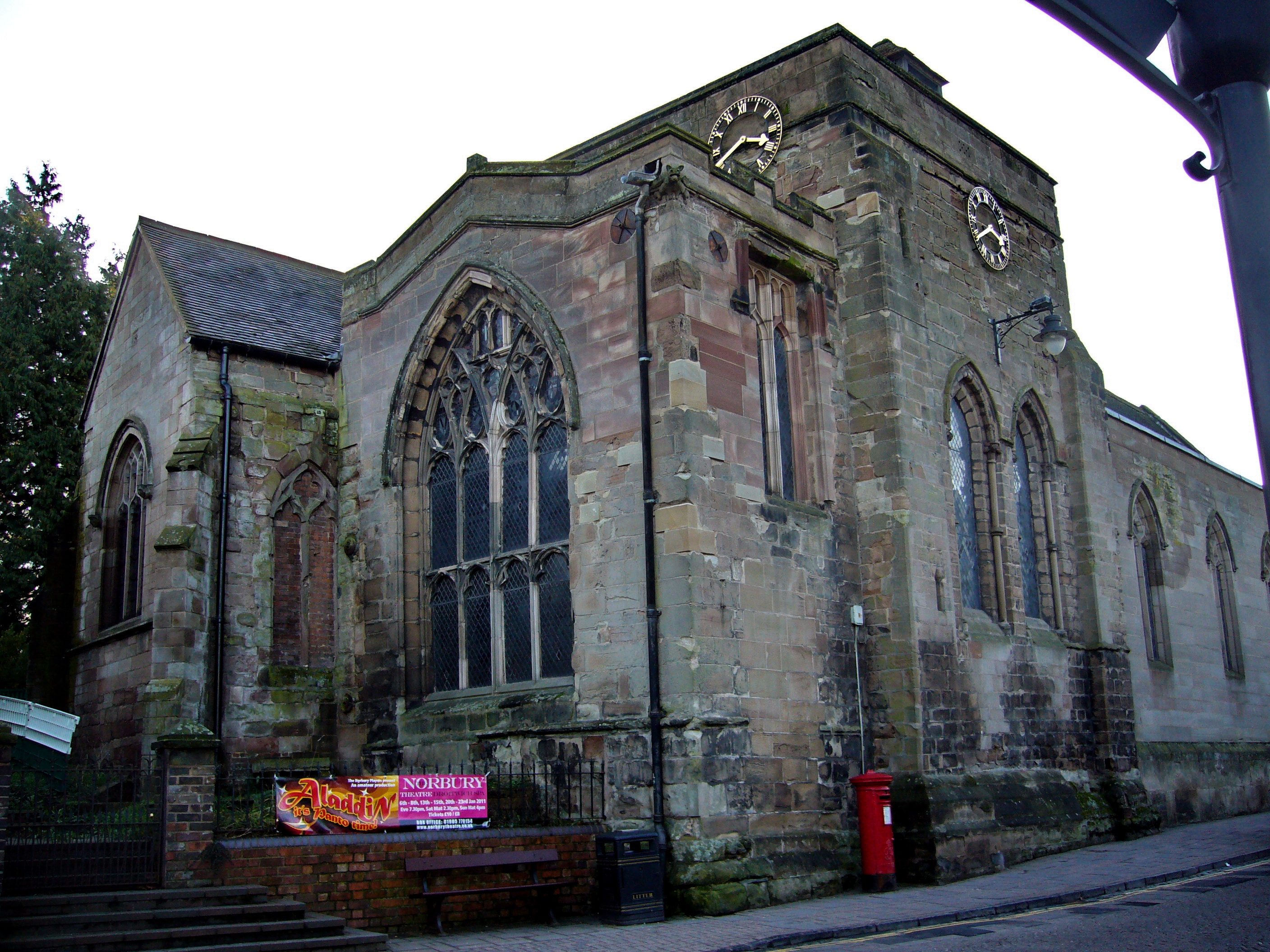
Pershore Abbey

Pershore Abbey, at Pershore in Worcestershire, was an Anglo-Saxon abbey and is now an Anglican parish church, the Church of the Holy Cross. == History... ==

Pershore Town F.C.

Pershore Town Football Club (generally known simply as Pershore Town) are an English association football club based in Pershore, Worcestershire, England...

Number 8, Pershore

Number 8 is a community arts centre in the English town of Pershore. It includes a 250-seat auditorium used for music, theatre and cinema events, a small...

Oswaldslow

The Oswaldslow (sometimes Oswaldslaw) was a hundred in the English county of Worcestershire, which was named in a supposed charter of 964 by King Edgar...

Pershore High School

Pershore High School is a co-educational academy school, with a Sixth form, in Pershore, Worcestershire, England. It is the only high school in Pershore...

Piddle Brook

The Piddle Brook is a watercourse in Worcestershire; It starts in Kington and flows past the villages of Flyford Flavell, North Piddle, Naunton Beauchamp...

Related Videos

How to check for running belt and deck wear on a treadmill

This is a quick guide that does not need any special tools or expertise For more details visit https://www.chartered-engineer.com/

The Millennium Way - Egdon to Pershore

Our final stage of the Millennium Way East to West walk. This section took us from Egdon across farmland into Stoulton before ...

A Nighttime Walk Around Pershore Town & Abbey, Worcestershire, UK 3rd February 2023 #walking #4k

A nighttime walk around Pershore town & Abbey. 4K Pershore, Worcestershire, England Videoed on Friday, 3rd February 2023 ...

Nearby Amenities

Located within 500m of 52.117433,-2.0895229
Allesborough Drive
Naptan AtcoCode: 2000G214800
Naptan Bearing: SE
Naptan BusStopType: CUS
Naptan CommonName: Allesborough Drive
Naptan Crossing: Allesborough Drive
Naptan Indicator: Opp
Naptan NaptanCode: wocgampa
Naptan Street: Holloway
Naptan Verified: no
Source: naptan_import
Lat/Long: 52.113327/-2.0884264
Bus Stop
Police Station
Bus: yes
Naptan AtcoCode: 2000G323018
Naptan Bearing: E
Naptan CommonName: Police Station
Naptan Indicator: opp
Naptan NaptanCode: wocdpgma
Naptan Street: Worcester Road
Naptan Verified: no
Public Transport: platform
Source: naptan_import
Lat/Long: 52.1144604/-2.085622
Bus Stop
Police Station
Bus: yes
Naptan AtcoCode: 2000G323019
Naptan Bearing: W
Naptan CommonName: Police Station
Naptan Indicator: Opp
Naptan NaptanCode: wocdpgmd
Naptan Street: Worcester Road
Naptan Verified: no
Public Transport: platform
Source: naptan_import
Lat/Long: 52.1142593/-2.0855819
Post Box
Collection Plate: CP7
Collection Times: Mo-Fr 17:30; Sa 11:00
Historic Operator: Post Office
Post Box Type: lamp
Ref: WR10 259
Royal Cypher: EIIR
Royal Cypher Wikidata: Q33102113
Source: survey;gps
Lat/Long: 52.1144392/-2.0853097
Generator Method: photovoltaic
Generator Output Electricity: yes
Generator Source: solar
Generator Type: solar_photovoltaic_panel
Location: roof
Power: generator
Lat/Long: 52.1141436/-2.0908946
Generator Method: photovoltaic
Generator Output Electricity: yes
Generator Source: solar
Generator Type: solar_photovoltaic_panel
Location: roof
Power: generator
Lat/Long: 52.1140859/-2.0925468
Generator Method: photovoltaic
Generator Output Electricity: yes
Generator Source: solar
Generator Type: solar_photovoltaic_panel
Location: roof
Power: generator
Lat/Long: 52.1140892/-2.0923966
Generator Method: photovoltaic
Generator Output Electricity: yes
Generator Source: solar
Generator Type: solar_photovoltaic_panel
Location: roof
Power: generator
Lat/Long: 52.1141172/-2.0921713
Generator Method: photovoltaic
Generator Output Electricity: yes
Generator Source: solar
Generator Type: solar_photovoltaic_panel
Location: roof
Power: generator
Lat/Long: 52.1141122/-2.0920211
Generator Method: photovoltaic
Generator Output Electricity: yes
Generator Source: solar
Generator Type: solar_photovoltaic_panel
Location: roof
Power: generator
Lat/Long: 52.1141254/-2.0918682
Generator Method: photovoltaic
Generator Output Electricity: yes
Generator Source: solar
Generator Type: solar_photovoltaic_panel
Location: roof
Power: generator
Lat/Long: 52.1141402/-2.0916992
Generator Method: photovoltaic
Generator Output Electricity: yes
Generator Source: solar
Generator Type: solar_photovoltaic_panel
Location: roof
Power: generator
Lat/Long: 52.1141617/-2.0915356
Generator Method: photovoltaic
Generator Output Electricity: yes
Generator Source: solar
Generator Type: solar_photovoltaic_panel
Location: roof
Power: generator
Lat/Long: 52.1160863/-2.082746
Generator Method: photovoltaic
Generator Output Electricity: yes
Generator Source: solar
Generator Type: solar_photovoltaic_panel
Location: roof
Power: generator
Lat/Long: 52.1162222/-2.0841837
Generator Method: photovoltaic
Generator Output Electricity: yes
Generator Source: solar
Generator Type: solar_photovoltaic_panel
Location: roof
Power: generator
Lat/Long: 52.1159916/-2.0838993
Generator Method: photovoltaic
Generator Output Electricity: yes
Generator Source: solar
Generator Type: solar_photovoltaic_panel
Location: roof
Power: generator
Lat/Long: 52.1159075/-2.0855221
Generator Method: photovoltaic
Generator Output Electricity: yes
Generator Source: solar
Generator Type: solar_photovoltaic_panel
Location: roof
Power: generator
Lat/Long: 52.1156984/-2.0851761
Generator Method: photovoltaic
Generator Output Electricity: yes
Generator Source: solar
Generator Type: solar_photovoltaic_panel
Location: roof
Power: generator
Lat/Long: 52.1135489/-2.0860639
Generator Method: photovoltaic
Generator Output Electricity: yes
Generator Source: solar
Generator Type: solar_photovoltaic_panel
Location: roof
Power: generator
Lat/Long: 52.1142242/-2.0880702
Generator Method: photovoltaic
Generator Output Electricity: yes
Generator Source: solar
Generator Type: solar_photovoltaic_panel
Location: roof
Power: generator
Lat/Long: 52.1139788/-2.0849723
Power: pole
Lat/Long: 52.1165203/-2.0853974
3G Cellsite
Power: pole
Transformer: distribution
Voltage Primary: 11000
Lat/Long: 52.1167142/-2.0846806
Power: pole
Lat/Long: 52.1163226/-2.0862477
Power: pole
Lat/Long: 52.1160883/-2.0871871
Allesborough Reservoir
Power: pole
Transformer: distribution
Voltage Primary: 11000
Lat/Long: 52.1160031/-2.0914766
Power: pole
Lat/Long: 52.115817/-2.0908423
Power: pole
Lat/Long: 52.1155469/-2.0897962
Allesborough Hill
Power: pole
Transformer: distribution
Voltage Primary: 11000
Lat/Long: 52.115308/-2.0888802
Power: pole
Lat/Long: 52.1158421/-2.0879944
Power: pole
Lat/Long: 52.1156486/-2.0885959
Location Transition: yes
Power: pole
Lat/Long: 52.1148419/-2.0893081
Power: pole
Lat/Long: 52.1146883/-2.0902455
Allesborough Farm Pershore
Power: pole
Transformer: distribution
Voltage Primary: 11000
Lat/Long: 52.1148345/-2.0906156
Location Transition: yes
Power: pole
Lat/Long: 52.112958/-2.0900188
The data included in this document is from www.openstreetmap.org. The data is made available under ODbL.

Have you been to Allesborough Hill?

Leave your review of Allesborough Hill below (or comments, questions and feedback).