Oak Hill
Hill, Mountain in Wiltshire
England
Oak Hill
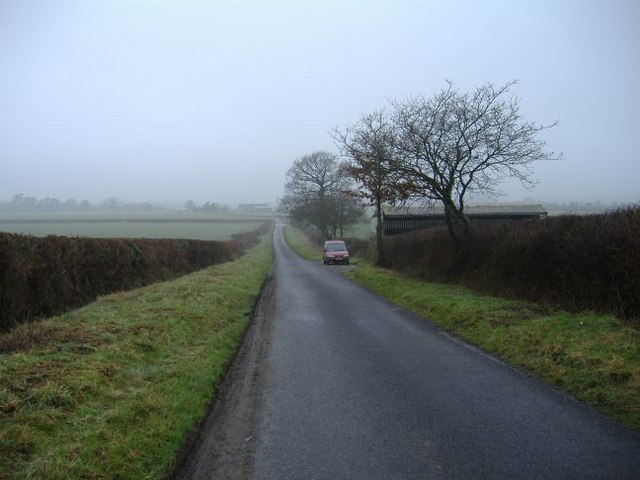
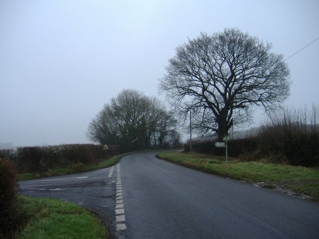
Oak Hill is a prominent hill located in the county of Wiltshire, England. Situated approximately 2 miles northwest of the town of Malmesbury, it stands at an elevation of 173 meters (567 feet) above sea level. Offering stunning panoramic views of the surrounding countryside, Oak Hill is a popular destination for both locals and tourists seeking outdoor activities and picturesque landscapes.
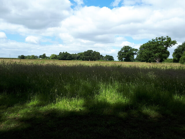
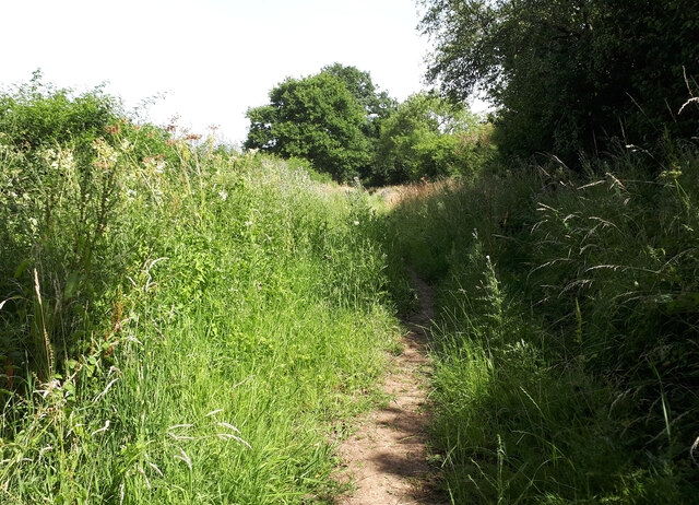
The hill is characterized by its rolling grassy slopes, covered in patches of dense woodland, providing a habitat for a variety of flora and fauna. A network of footpaths and trails crisscross the area, allowing visitors to explore the hill at their own pace. These paths lead to the summit, where a trig point can be found, marking the highest point on the hill.
Oak Hill is steeped in history, with evidence of human activity dating back to the Bronze Age. Archaeological findings, such as burial mounds and ancient earthworks, suggest that the hill was once inhabited and utilized by early settlers. Today, remnants of these historical features can still be seen, adding to the allure of the area.
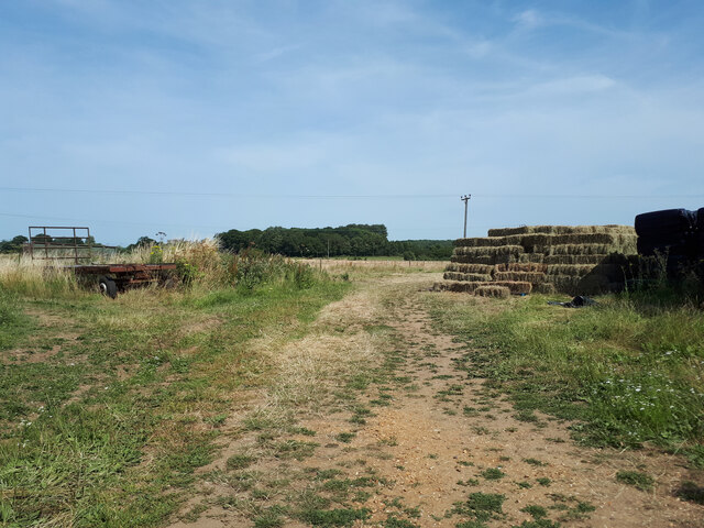
The hill is easily accessible by car, with parking available at the nearby village of Charlton. From there, a short walk leads to the foot of Oak Hill, where visitors can begin their ascent. The hill offers a peaceful retreat, ideal for walking, picnicking, and enjoying the natural beauty of Wiltshire's countryside.
If you have any feedback on the listing, please let us know in the comments section below.
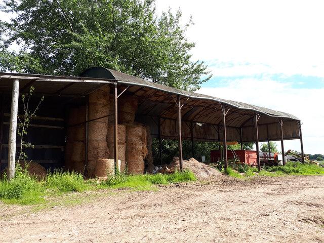
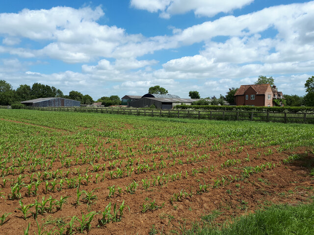
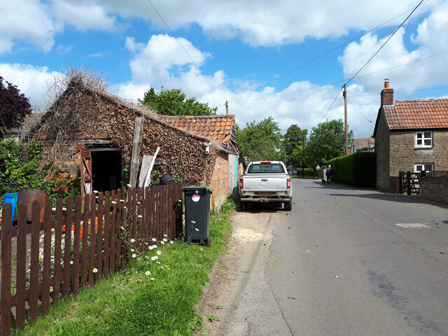
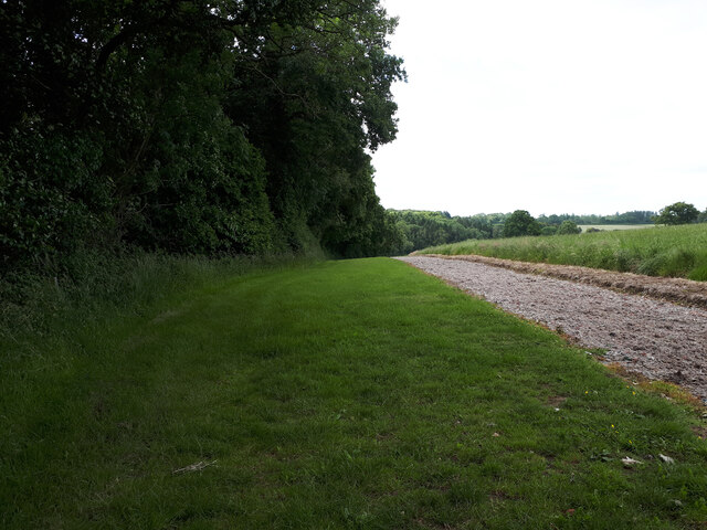
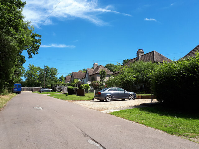
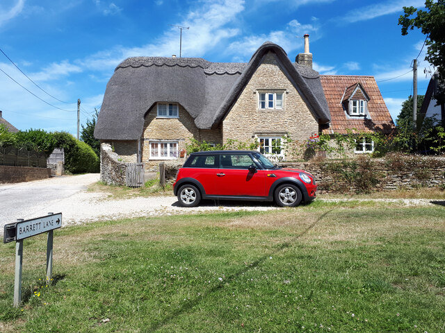
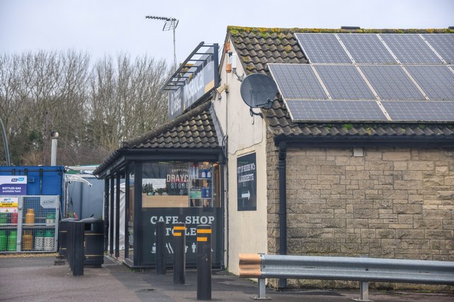
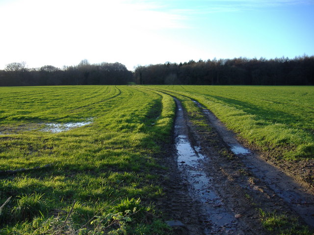
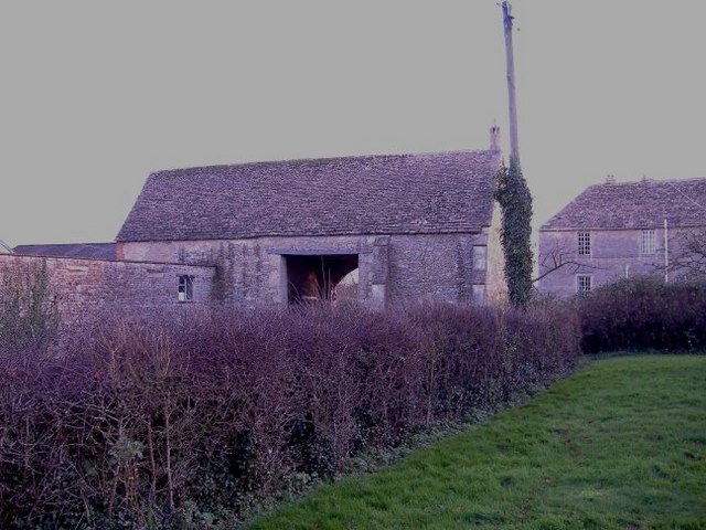
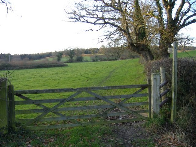
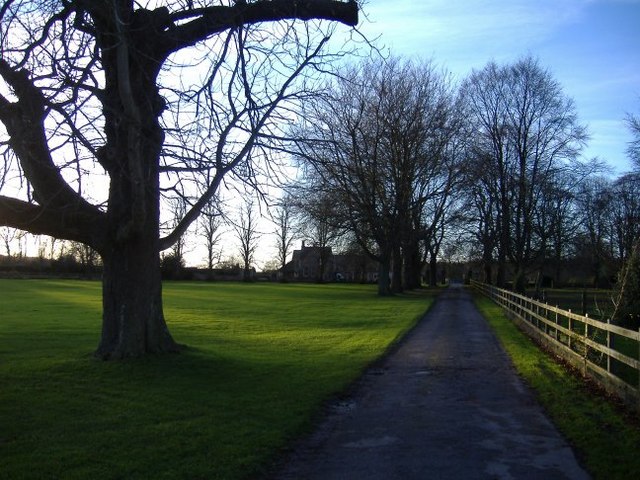
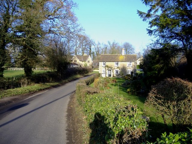
Oak Hill Images
Images are sourced within 2km of 51.52223/-2.0900771 or Grid Reference ST9380. Thanks to Geograph Open Source API. All images are credited.
Oak Hill is located at Grid Ref: ST9380 (Lat: 51.52223, Lng: -2.0900771)
Unitary Authority: Wiltshire
Police Authority: Wiltshire
What 3 Words
///plotted.surreal.drizzly. Near Sutton Benger, Wiltshire
Nearby Locations
Related Wikis
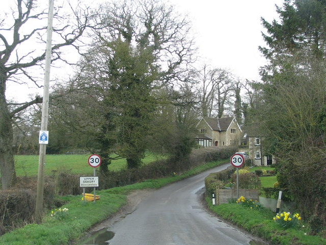
Seagry
Seagry is a civil parish in Wiltshire, England, about 4.5 miles (7.2 km) southeast of Malmesbury and 5.5 miles (8.9 km) northeast of Chippenham. Its main...

Draycot Cerne
Draycot Cerne (Draycott) is a small village and former civil parish, now in the parish of Sutton Benger, in Wiltshire, England, about 3 miles (5 km) north...
St James's Church, Draycot Cerne
St James's Church in Draycot Cerne, Sutton Benger, Wiltshire, England was built between 1260 and 1280. It is recorded in the National Heritage List for...

Sutton Benger
Sutton Benger is a village and civil parish in the county of Wiltshire, England, 5 miles (8.0 km) northeast of the town of Chippenham. The parish includes...
Nearby Amenities
Located within 500m of 51.52223,-2.0900771Have you been to Oak Hill?
Leave your review of Oak Hill below (or comments, questions and feedback).