Woodman Croft Covert
Wood, Forest in Wiltshire
England
Woodman Croft Covert
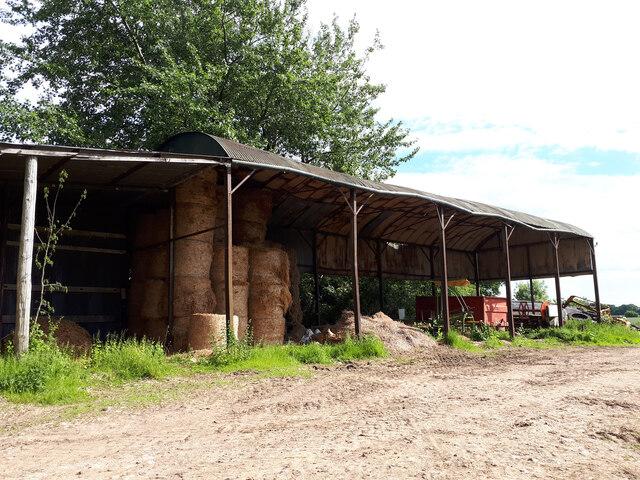
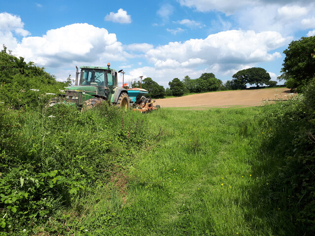
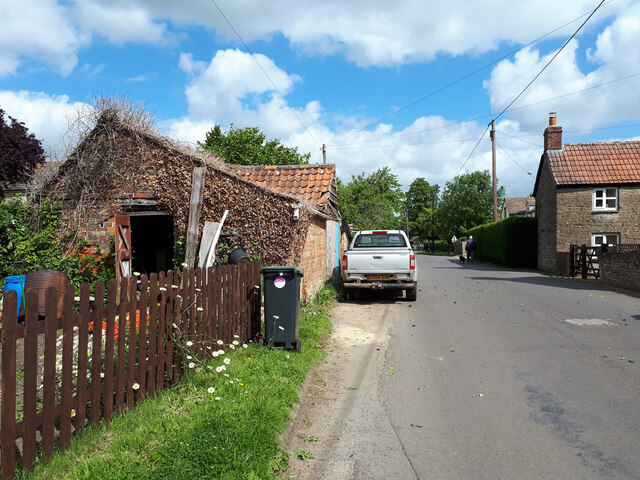
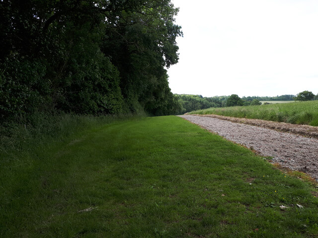
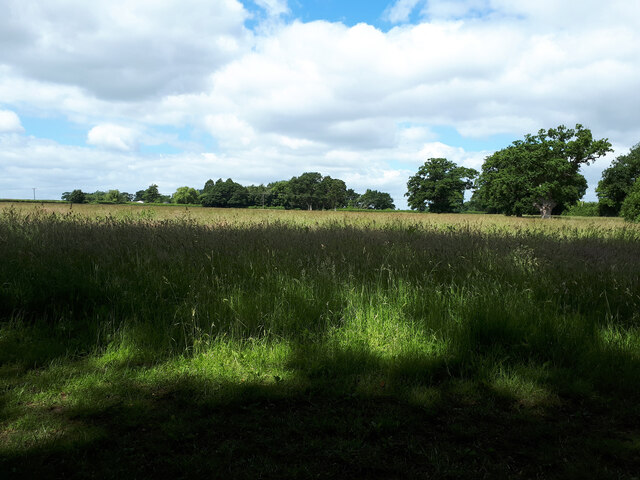
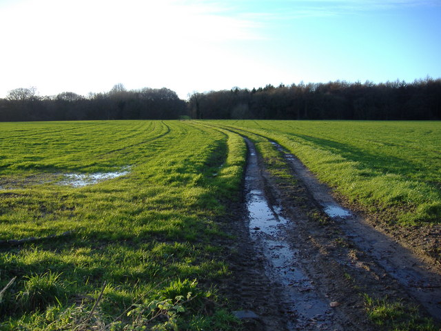
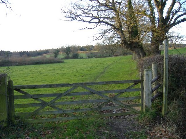
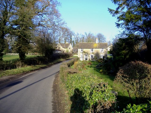
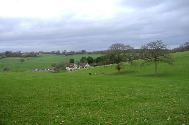
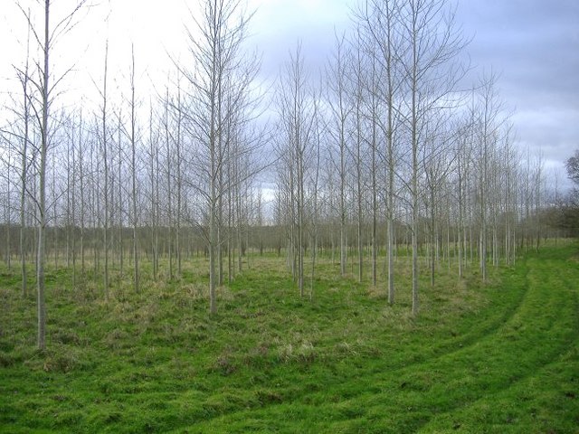
Woodman Croft Covert is a picturesque woodland located in the county of Wiltshire, England. Situated near the village of Woodman Croft, the covert covers an area of approximately 100 acres. It is a well-preserved example of ancient woodland, boasting a diverse range of tree species and supporting a rich ecosystem.
The woodland is predominantly composed of native broadleaf trees, such as oak, beech, and ash. These towering giants provide a dense canopy that filters sunlight, creating a cool and tranquil atmosphere within the covert. The forest floor is covered in a thick carpet of leaf litter, which supports a variety of woodland flora, including bluebells, primroses, and wild garlic.
Woodman Croft Covert is not only a haven for flora but also a sanctuary for wildlife. The dense vegetation and abundance of food sources make it an ideal habitat for a wide range of animals. Visitors may spot various bird species, including woodpeckers, owls, and warblers, as well as small mammals like squirrels, hedgehogs, and deer.
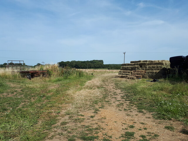
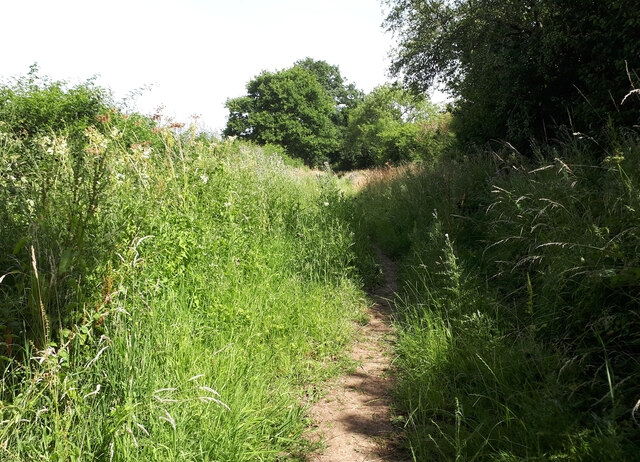
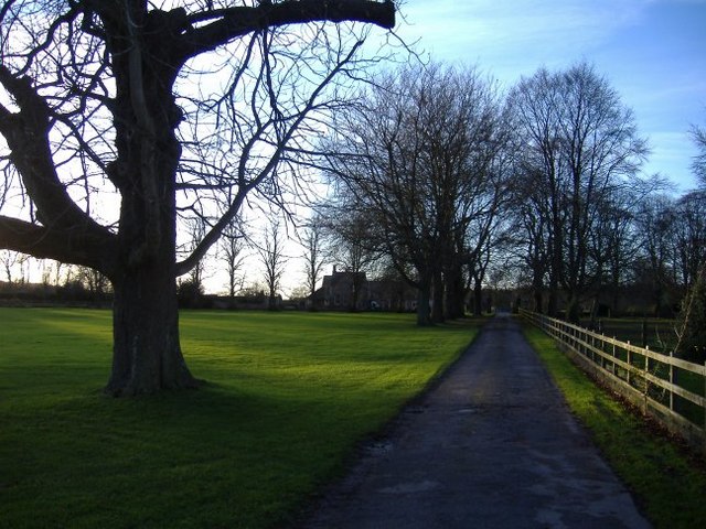
The covert is well-maintained by local authorities, ensuring its natural beauty remains unspoiled. It offers several walking trails that wind through the woodland, allowing visitors to immerse themselves in its serene ambiance and marvel at its natural wonders. The woodland also serves as an educational resource, with informative signposts providing insights into the local ecosystem and its conservation efforts.
Overall, Woodman Croft Covert is a captivating woodland, offering a peaceful retreat from the hustle and bustle of everyday life. Its ancient trees, abundant wildlife, and tranquil atmosphere make it a must-visit destination for nature enthusiasts and those seeking solace in the heart of Wiltshire's countryside.
If you have any feedback on the listing, please let us know in the comments section below.
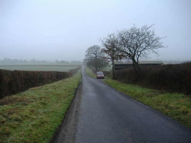
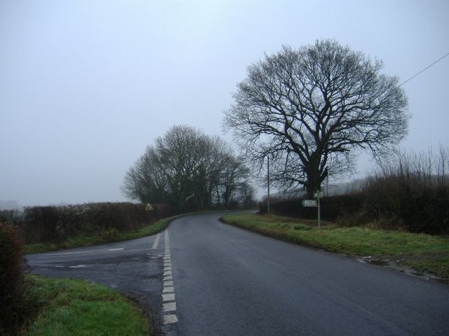
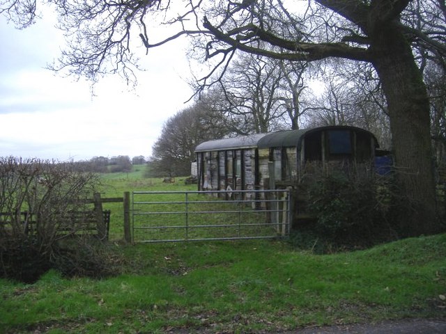
Woodman Croft Covert Images
Images are sourced within 2km of 51.521592/-2.100482 or Grid Reference ST9380. Thanks to Geograph Open Source API. All images are credited.
Woodman Croft Covert is located at Grid Ref: ST9380 (Lat: 51.521592, Lng: -2.100482)
Unitary Authority: Wiltshire
Police Authority: Wiltshire
What 3 Words
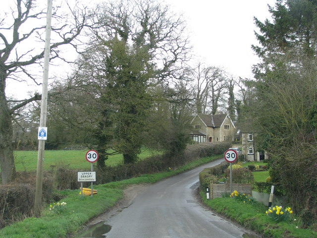
///tanked.offstage.mailings. Near Sutton Benger, Wiltshire
Nearby Locations
Related Wikis
Seagry
Seagry is a civil parish in Wiltshire, England, about 4.5 miles (7.2 km) southeast of Malmesbury and 5.5 miles (8.9 km) northeast of Chippenham. Its main...

Stanton St. Quintin Quarry and Motorway Cutting
Stanton St. Quintin Quarry & Motorway Cutting (grid reference ST918796) is a 2.2 hectare geological Site of Special Scientific Interest southeast of Stanton...

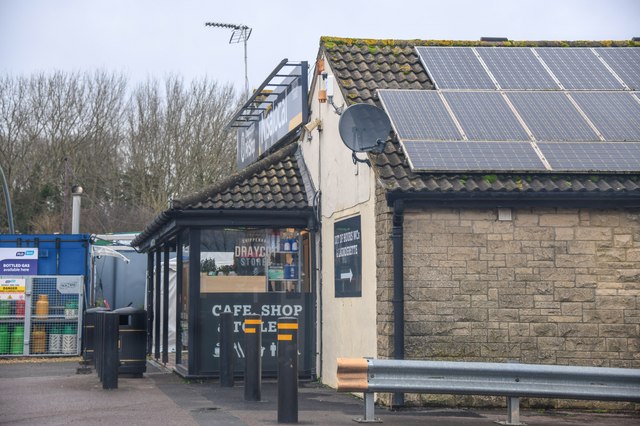
Draycot Cerne
Draycot Cerne (Draycott) is a small village and former civil parish, now in the parish of Sutton Benger, in Wiltshire, England, about 3 miles (5 km) north...
St James's Church, Draycot Cerne
St James's Church in Draycot Cerne, Sutton Benger, Wiltshire, England was built between 1260 and 1280. It is recorded in the National Heritage List for...
Harries Ground, Rodbourne
Harries Ground, Rodbourne (grid reference ST930823) is a 6.87 hectare biological Site of Special Scientific Interest in Wiltshire, England, notified in...

Buckley Barracks
Buckley Barracks is a British Army barracks in Wiltshire, England, about 4+1⁄2 miles (7 km) north of Chippenham and 15 miles (24 km) west of Swindon. It...

Sutton Benger
Sutton Benger is a village and civil parish in the county of Wiltshire, England, 5 miles (8.0 km) northeast of the town of Chippenham. The parish includes...

RAF Hullavington
Royal Air Force Hullavington, or more simply RAF Hullavington, (ICAO: EGDV) was a Royal Air Force station located at Hullavington, near Chippenham, Wiltshire...
Nearby Amenities
Located within 500m of 51.521592,-2.100482Have you been to Woodman Croft Covert?
Leave your review of Woodman Croft Covert below (or comments, questions and feedback).