High Cross Hill

Hill, Mountain in Yorkshire Craven

England

High Cross Hill

Old Boundary Marker on Elslack Lane Parish Boundary Marker set in a dry stone wall on the east side of Elslack Lane, 40 metres south of Elslack Bridge. Inscribed THORNTON / B and ELSLACK / B on opposite faces. On the former boundary of Elslack and Thornton in Craven parishes, but now entirely in Elslack parish. Grade II Listed details <span class="nowrap"><a title="https://historicengland.org.uk/listing/the-list/list-entry/1316762" rel="nofollow ugc noopener" href="https://historicengland.org.uk/listing/the-list/list-entry/1316762">Link</a><img style="margin-left:2px;" alt="External link" title="External link - shift click to open in new window" src="https://s1.geograph.org.uk/img/external.png" width="10" height="10"/></span>.

Milestone Society National ID: YW_THCELS01pb
Old Boundary Marker on Elslack Lane Credit: M Hatton

The requested URL returned error: 429 Too Many Requests

If you have any feedback on the listing, please let us know in the comments section below.

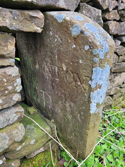
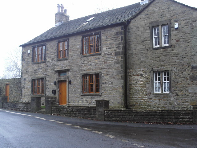
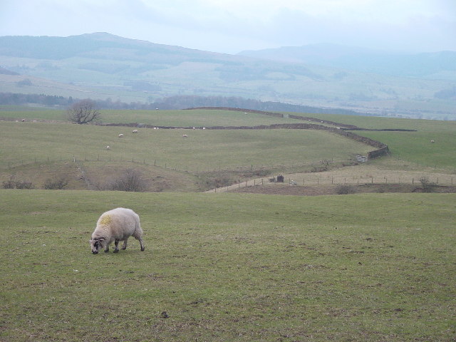
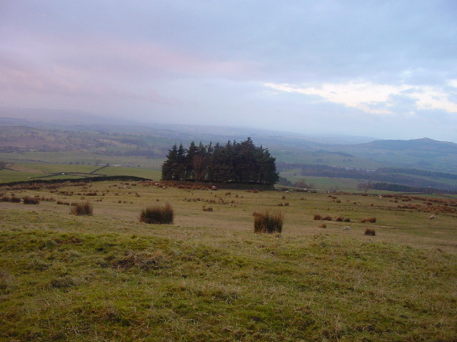
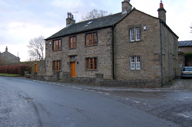
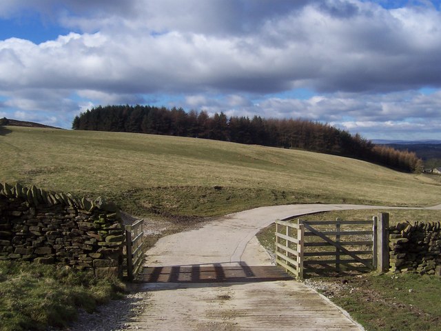
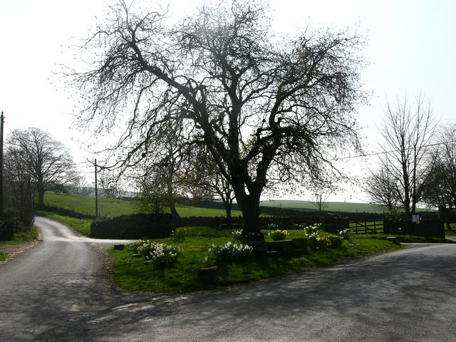
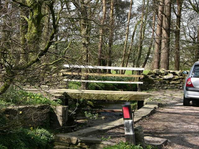
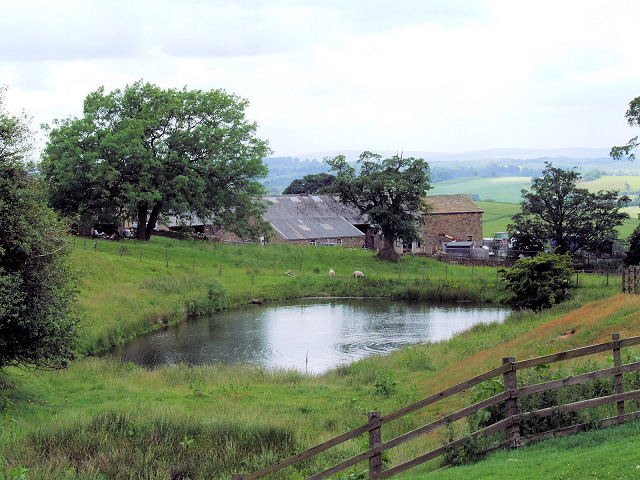
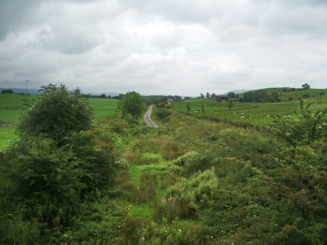
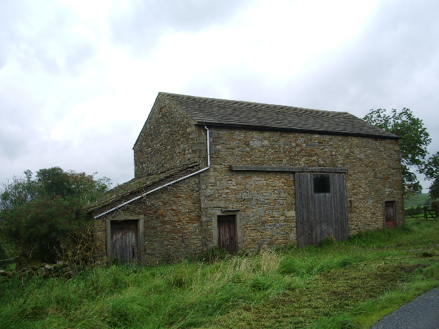
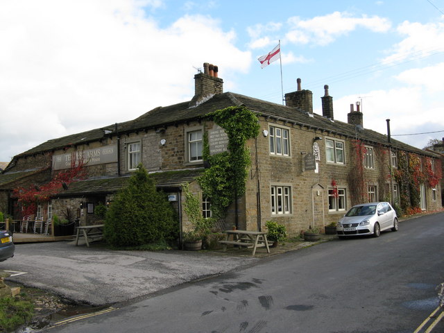
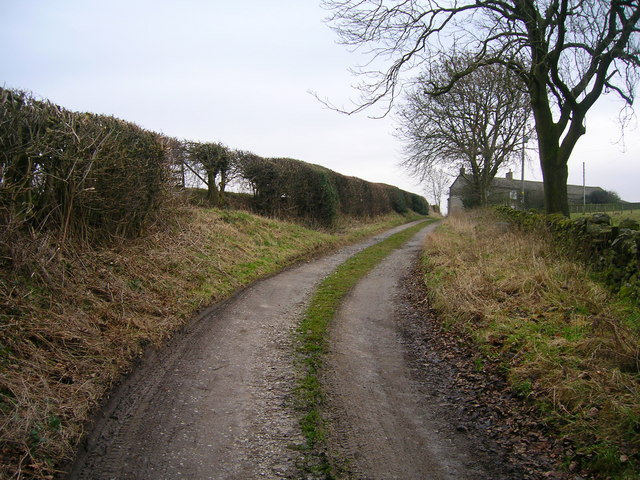
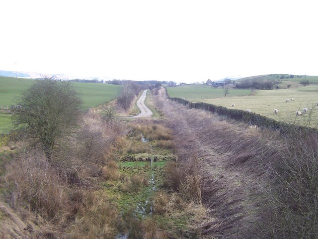
High Cross Hill Images

Images are sourced within 2km of 53.950649/-2.0980608 or Grid Reference SD9350. Thanks to Geograph Open Source API. All images are credited.

Old Boundary Marker on Elslack Lane Parish Boundary Marker set in a dry stone wall on the east side of Elslack Lane, 40 metres south of Elslack Bridge. Inscribed THORNTON / B and ELSLACK / B on opposite faces. On the former boundary of Elslack and Thornton in Craven parishes, but now entirely in Elslack parish. Grade II Listed details <span class="nowrap"><a title="https://historicengland.org.uk/listing/the-list/list-entry/1316762" rel="nofollow ugc noopener" href="https://historicengland.org.uk/listing/the-list/list-entry/1316762">Link</a><img style="margin-left:2px;" alt="External link" title="External link - shift click to open in new window" src="https://s1.geograph.org.uk/img/external.png" width="10" height="10"/></span>.

Milestone Society National ID: YW_THCELS01pb
Old Boundary Marker on Elslack Lane
Parish Boundary Marker set in a dry stone wall on the east side of Elslack Lane, 40 metres south of Elslack Bridge. Inscribed THORNTON / B and ELSLACK / B on opposite faces. On the former boundary of Elslack and Thornton in Craven parishes, but now entirely in Elslack parish. Grade II Listed details LinkExternal link. Milestone Society National ID: YW_THCELS01pb
Old Milestone by the A56, Colne and Broughton Road Metal plate attached to stone post by the A56, in parish of Thornton-in-Craven (Craven District), a mile North of Thornton, South of Gubbs Hill, on the verge on long straight, on North side of road. WR iron casting, erected by the County Council in the 19th century.

Inscription reads:-
: SKIPTON / 5 MILES : : COLNE & BROUGHTON / ROAD / THORNTON / IN / CRAVEN : : COLNE / 7 MILES :
Hole in top.

Grade II listed.
List Entry Number: 1132255 <span class="nowrap"><a title="https://historicengland.org.uk/listing/the-list/list-entry/1132255" rel="nofollow ugc noopener" href="https://historicengland.org.uk/listing/the-list/list-entry/1132255">Link</a><img style="margin-left:2px;" alt="External link" title="External link - shift click to open in new window" src="https://s1.geograph.org.uk/img/external.png" width="10" height="10"/></span>

Milestone Society National ID: YN_SKCO05
Old Milestone by the A56, Colne and Broughton Road
Metal plate attached to stone post by the A56, in parish of Thornton-in-Craven (Craven District), a mile North of Thornton, South of Gubbs Hill, on the verge on long straight, on North side of road. WR iron casting, erected by the County Council in the 19th century. Inscription reads:- : SKIPTON / 5 MILES : : COLNE & BROUGHTON / ROAD / THORNTON / IN / CRAVEN : : COLNE / 7 MILES : Hole in top. Grade II listed. List Entry Number: 1132255 LinkExternal link Milestone Society National ID: YN_SKCO05
Elslack The Grange, a large house in the middle of the village.
Elslack
The Grange, a large house in the middle of the village.
Grazing at Mitton House
Copse Near Mitton House This tiny, round copse is only just visible on the 1:25000 OS map.
Copse Near Mitton House
This tiny, round copse is only just visible on the 1:25000 OS map.
The Grange Elslack
The Grange Elslack
Disused Railway, nr. Elslack This looks east along the line of the former railway between Colne and Skipton
Disused Railway, nr. Elslack
This looks east along the line of the former railway between Colne and Skipton
Yellison Wood Tract of woodland above Carleton in Craven - about a mile to the west
Yellison Wood
Tract of woodland above Carleton in Craven - about a mile to the west
Crossroads Elslack
Crossroads Elslack
Bridge Elslack
Bridge Elslack
Reservoir near Yellison House Yellison House itself in the background
Reservoir near Yellison House
Yellison House itself in the background
Dismantled railway This was the Colne to Skipton Railway
Dismantled railway
This was the Colne to Skipton Railway
Roadside barn
Roadside barn
The 'Tempest Arms', Elslack, Yorkshire Many years ago, 'Mine Host' at the Tempest was the former Middlesex and England cricketer Peter Parfitt, who went on to supervise hospitality at the Headingley ground of the Leeds Football and Cricket Club - better known as a Test Match ground and home of Yorkshire Cricket Club.  Parfitt was succeeded as incumbent at the Tempest by the redoubtable Frenchman, Francis Pierre Boulogne, who presided for many years and established an excellent culinary reputation for the pub, which still continues, and in addition, accommodation is now available.
As footnote to the serious beer drinker, Timothy Taylor's 'Landlord', (which, I am reliably informed, is Madonna's favourite beer!) is on draught here.
The 'Tempest Arms', Elslack, Yorkshire
Many years ago, 'Mine Host' at the Tempest was the former Middlesex and England cricketer Peter Parfitt, who went on to supervise hospitality at the Headingley ground of the Leeds Football and Cricket Club - better known as a Test Match ground and home of Yorkshire Cricket Club. Parfitt was succeeded as incumbent at the Tempest by the redoubtable Frenchman, Francis Pierre Boulogne, who presided for many years and established an excellent culinary reputation for the pub, which still continues, and in addition, accommodation is now available. As footnote to the serious beer drinker, Timothy Taylor's 'Landlord', (which, I am reliably informed, is Madonna's favourite beer!) is on draught here.
Elslack Hall Farm. Very big barn at Elslack Hall Farm.
Elslack Hall Farm.
Very big barn at Elslack Hall Farm.
Restoration A barn in Elslack undergoing conversion into a des. res.
Restoration
A barn in Elslack undergoing conversion into a des. res.
The Track to Smearber Farm
Show me another place!

High Cross Hill is located at Grid Ref: SD9350 (Lat: 53.950649, Lng: -2.0980608)

Division: West Riding

Administrative County: North Yorkshire

District: Craven

Police Authority: North Yorkshire

What 3 Words

///escape.topical.column. Near Gargrave, North Yorkshire

Nearby Locations

Mill Wood High Cross Hill

Related Wikis

Fresh Radio

Fresh Radio was an Independent Local Radio station broadcasting to the Yorkshire Dales in northern England on two medium wave (AM) frequencies and three...

Broughton, Craven

Broughton is a village and civil parish in the Craven district of North Yorkshire, England. The village is on the A59 road approximately 3 miles (5 km...

Elslack railway station

Elslack railway station once served the small village of Elslack in North Yorkshire, England. The station was built by the Leeds and Bradford Extension...

Elslack

Elslack is a village and civil parish in the Craven district of North Yorkshire, England, close to the border with Lancashire and 4 miles west of Skipton...

Nearby Amenities

Located within 500m of 53.950649,-2.0980608
High Cross Hill
Natural: peak
Source: OS 1:25k
Lat/Long: 53.9503496/-2.0979578
Power: pole
Source: Bing
Lat/Long: 53.9471044/-2.0987348
Power: pole
Source: Bing
Lat/Long: 53.9468913/-2.1001752
Power: pole
Source: Bing
Lat/Long: 53.9466744/-2.1015671
Barrier: stile
Steps: 1
Stile: stepover
Lat/Long: 53.9486008/-2.1020828
Barrier: stile
Steps: 1
Stile: stepover
Lat/Long: 53.9499838/-2.1002164
Power: substation
Substation: minor_distribution
Lat/Long: 53.9541578/-2.0964107
Bus Stop
Business Park
Bench: no
Bin: no
Public Transport: platform
Shelter: no
Tactile Paving: no
Lat/Long: 53.9543708/-2.0977228
Bus Stop
Sulphur Well Houses
Naptan AtcoCode: 3200YNA01965
Naptan NaptanCode: 32001965
Public Transport: platform
Shelter: no
Lat/Long: 53.953992/-2.0997687
Barrier: cattle_grid
Lat/Long: 53.9469439/-2.0959837
Post Box
Mapillary: 284340084414219
Operator: Royal Mail
Operator Wikidata: Q638098
Post Box Mounting: stone_wall
Post Box Type: wall
Lat/Long: 53.9540554/-2.0996471
The data included in this document is from www.openstreetmap.org. The data is made available under ODbL.

Have you been to High Cross Hill?

Leave your review of High Cross Hill below (or comments, questions and feedback).