Caucabush Rigg

Hill, Mountain in Yorkshire

England

Caucabush Rigg

Embedded rocks along Crawlaw Rigg Just out of view to the left of the rocks is a well-built cairn which might be the feature Crawlaw Currack, at the eastern end of Currack Rigg.
At the centre of the image is Shacklesborough; beyond, on the horizon is Mickle Fell, its summit being the left dome with the trig point location being above the left side of Shacklesborough.
Embedded rocks along Crawlaw Rigg Credit: Trevor Littlewood

The requested URL returned error: 429 Too Many Requests

If you have any feedback on the listing, please let us know in the comments section below.

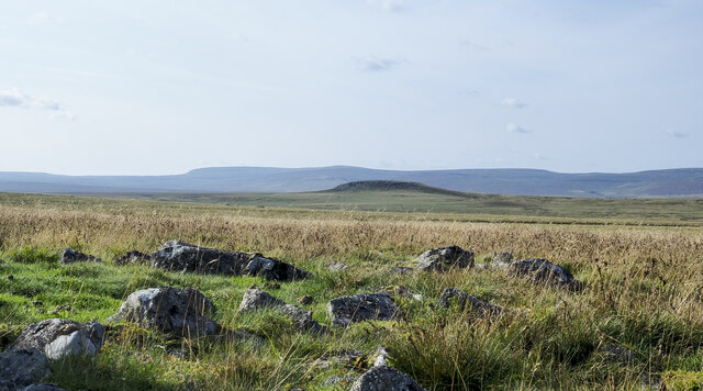
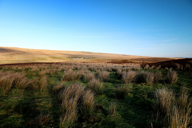
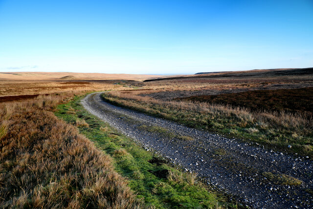
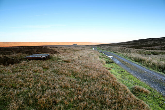
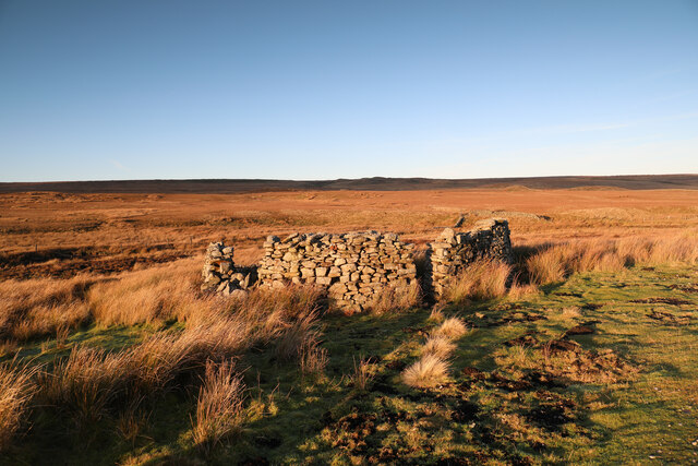
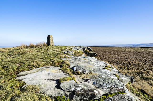
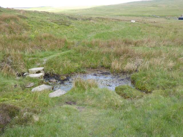
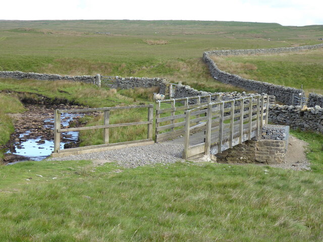
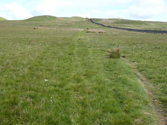
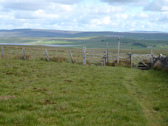
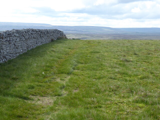
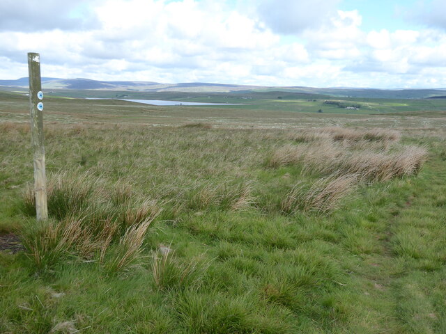
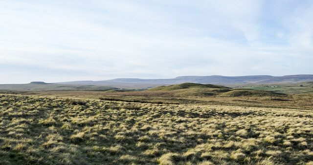
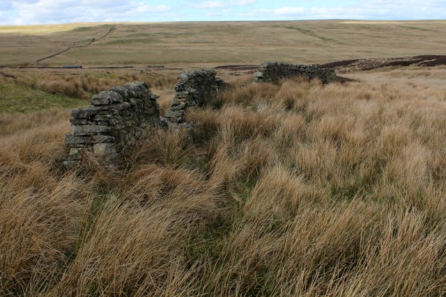
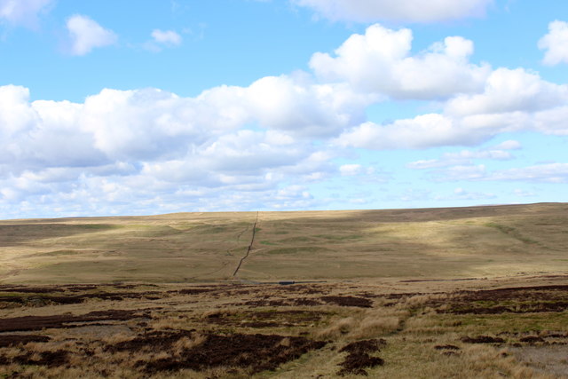
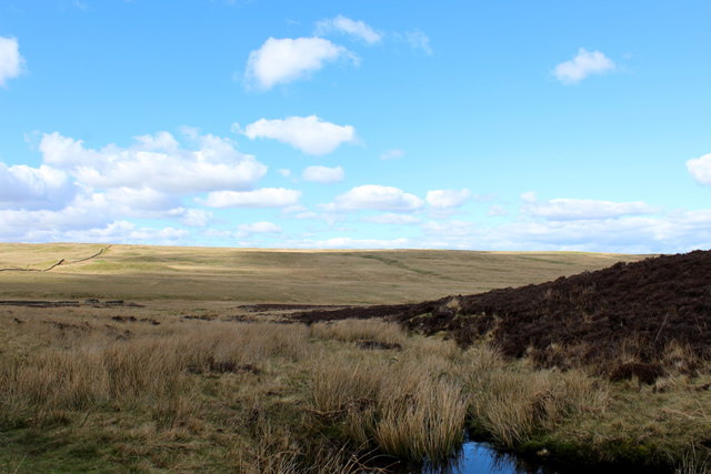
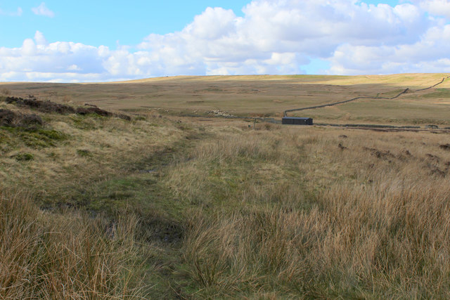
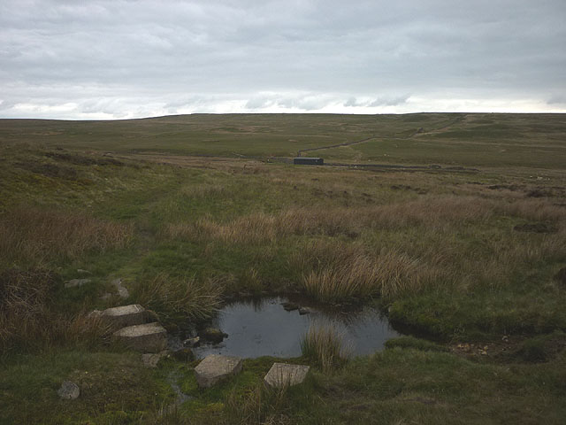
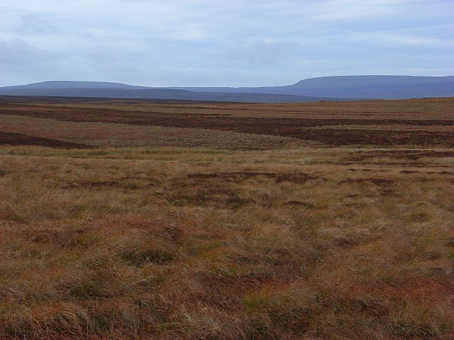
Caucabush Rigg Images

Images are sourced within 2km of 54.534597/-2.0995209 or Grid Reference NY9315. Thanks to Geograph Open Source API. All images are credited.

Embedded rocks along Crawlaw Rigg Just out of view to the left of the rocks is a well-built cairn which might be the feature Crawlaw Currack, at the eastern end of Currack Rigg.
At the centre of the image is Shacklesborough; beyond, on the horizon is Mickle Fell, its summit being the left dome with the trig point location being above the left side of Shacklesborough.
Embedded rocks along Crawlaw Rigg
Just out of view to the left of the rocks is a well-built cairn which might be the feature Crawlaw Currack, at the eastern end of Currack Rigg. At the centre of the image is Shacklesborough; beyond, on the horizon is Mickle Fell, its summit being the left dome with the trig point location being above the left side of Shacklesborough.
Sheepfold in Sled Dale The very large scale map calls this structure a livestock pen, whilst the 1:25000 map prefers Sheepfold (as do I). The moor is nowadays managed for grouse, and there are certainly no sheep up here in the winter months, but a few are to be found dotted around in the summer. The sunlit moorland beyond Deepdale Beck is the Great Allotment, but the shallow valley is not Deepdale - that lies lower down the course of the stream. Up here it is called Sled Dale - probably appropriate as most times I've been here before, I've been on skis rather than a sled, but certainly something to slide along the snow has been most useful !
Sheepfold in Sled Dale
The very large scale map calls this structure a livestock pen, whilst the 1:25000 map prefers Sheepfold (as do I). The moor is nowadays managed for grouse, and there are certainly no sheep up here in the winter months, but a few are to be found dotted around in the summer. The sunlit moorland beyond Deepdale Beck is the Great Allotment, but the shallow valley is not Deepdale - that lies lower down the course of the stream. Up here it is called Sled Dale - probably appropriate as most times I've been here before, I've been on skis rather than a sled, but certainly something to slide along the snow has been most useful !
Estate track on North Dodd The estate track leaves the A66 opposite Old Spital, heads north onto North Moor and then turns sharply east to head down Sled Dale to West Stoney Keld. At this point, on the northern side of North Dodd, it is following the left bank of Boldron Strand, a small stream which doesn't flow anywhere near Boldron (a small village some ten kilometres to the east). It is, in fact, a right bank tributary to Deepdale Beck, flowing, at the confluence, in Sled Dale, only forming Deepdale somewhat further to the east as it cuts down. The rather prominent knoll in this view is Green How, not living up to its name at this late season when all the sedges have yellowed.
Estate track on North Dodd
The estate track leaves the A66 opposite Old Spital, heads north onto North Moor and then turns sharply east to head down Sled Dale to West Stoney Keld. At this point, on the northern side of North Dodd, it is following the left bank of Boldron Strand, a small stream which doesn't flow anywhere near Boldron (a small village some ten kilometres to the east). It is, in fact, a right bank tributary to Deepdale Beck, flowing, at the confluence, in Sled Dale, only forming Deepdale somewhat further to the east as it cuts down. The rather prominent knoll in this view is Green How, not living up to its name at this late season when all the sedges have yellowed.
Shooting position on North Dodd I hesitate to call this a grouse butt - it offers nothing in the way of concealment and no more shelter than perhaps an opportunity to avoid sinking into the peat. This one is the last of a line of ten, a longer line than most - perhaps the clients are expected to periodically huddle together for warmth like so many penguins? I'd want a refund! The estate track, here at about 385m above sea level, runs from West Stoney Keld to a point on the A66 opposite Old Spital, the section most frequently blocked by snow (often for days at a time, as in the recent storm Arwen). Grouse shooting potentially goes on until December 10th, so this is not a place for those used to the more luxurious stone-built butts lower down.
Shooting position on North Dodd
I hesitate to call this a grouse butt - it offers nothing in the way of concealment and no more shelter than perhaps an opportunity to avoid sinking into the peat. This one is the last of a line of ten, a longer line than most - perhaps the clients are expected to periodically huddle together for warmth like so many penguins? I'd want a refund! The estate track, here at about 385m above sea level, runs from West Stoney Keld to a point on the A66 opposite Old Spital, the section most frequently blocked by snow (often for days at a time, as in the recent storm Arwen). Grouse shooting potentially goes on until December 10th, so this is not a place for those used to the more luxurious stone-built butts lower down.
Sheepfold in Sled Dale Sled Dale seems very well supplied with sheepfolds, many in better condition than this one next to the estate track, and low winter light picks them out in the rather gently rolling landscape, as they are often placed on firmer, and therefore slightly raised, ground above the mostly peaty, boggy terrain. Beyond Deepdale Beck (which retains its name well upstream of Deepdale from which it derives its name) the ground climbs again to a long ridge, Race Yate Rigg, which forms the watershed with Baldersdale to the north.
Sheepfold in Sled Dale
Sled Dale seems very well supplied with sheepfolds, many in better condition than this one next to the estate track, and low winter light picks them out in the rather gently rolling landscape, as they are often placed on firmer, and therefore slightly raised, ground above the mostly peaty, boggy terrain. Beyond Deepdale Beck (which retains its name well upstream of Deepdale from which it derives its name) the ground climbs again to a long ridge, Race Yate Rigg, which forms the watershed with Baldersdale to the north.
Rock edge at West Hare Crag West Hare Crag is one of a number of low rock outcrops in this vicinity. The trig point is known to the OS as Brown Rigg. Brown Rigg is the name of the moorland ridge which is followed by the distant wall.
Rock edge at West Hare Crag
West Hare Crag is one of a number of low rock outcrops in this vicinity. The trig point is known to the OS as Brown Rigg. Brown Rigg is the name of the moorland ridge which is followed by the distant wall.
The Pennine Way crossing Duckett Sike
The Pennine Way crossing Deepdale Beck
The Pennine Way near Knotts Hill
The Pennine Way near Race Yate
The Pennine Way near Peatbrig Hill
Tussocky grass near to West Hare Crag Tussocks on the grassy moorland between Catty Crag Quarry and the minor summit at West Hare Crag.
The distant view is north of west where Shacklesborough is the small plinth at the left side of the image. Occupying the horizon centrally and to the right are Little Crag and Mickle Fell. The Burners Hills are lesser features in the middle distance.
Tussocky grass near to West Hare Crag
Tussocks on the grassy moorland between Catty Crag Quarry and the minor summit at West Hare Crag. The distant view is north of west where Shacklesborough is the small plinth at the left side of the image. Occupying the horizon centrally and to the right are Little Crag and Mickle Fell. The Burners Hills are lesser features in the middle distance.
Bield above Duckett Sike Beside the Pennine Way, south of Deepdale Beck is a partially dismantled bield.
A "Bield" is a shelter.
Bield above Duckett Sike
Beside the Pennine Way, south of Deepdale Beck is a partially dismantled bield. A "Bield" is a shelter.
Pennine Way descending into Deepdale The National Trail is well enough defined to be followed without difficulty, although it is soggy and has not been upgraded like other sections of the path.
Pennine Way descending into Deepdale
The National Trail is well enough defined to be followed without difficulty, although it is soggy and has not been upgraded like other sections of the path.
Duckett Sike Looking northwards downstream towards Deepdale Beck from the Pennine Way
Duckett Sike
Looking northwards downstream towards Deepdale Beck from the Pennine Way
Pennine Way heading Northwards towards Deepdale The Pennine Way is a National Trail in England, with a small section in Scotland. The trail runs 267 miles from Edale, in the northern Derbyshire Peak District, north through the Yorkshire Dales and the Northumberland National Park and ends at Kirk Yetholm, just inside the Scottish border. The path runs along the Pennine hills, sometimes described as the "backbone of England". Although not the United Kingdom's longest National Trail, it is according to the Ramblers' Association "one of Britain's best known and toughest".
Pennine Way heading Northwards towards Deepdale
The Pennine Way is a National Trail in England, with a small section in Scotland. The trail runs 267 miles from Edale, in the northern Derbyshire Peak District, north through the Yorkshire Dales and the Northumberland National Park and ends at Kirk Yetholm, just inside the Scottish border. The path runs along the Pennine hills, sometimes described as the "backbone of England". Although not the United Kingdom's longest National Trail, it is according to the Ramblers' Association "one of Britain's best known and toughest".
The Pennine Way crosses Duckett Sike Moulded concrete stepping 'stones' have been provided.
The Pennine Way crosses Duckett Sike
Moulded concrete stepping 'stones' have been provided.
Show me another place!

Caucabush Rigg is located at Grid Ref: NY9315 (Lat: 54.534597, Lng: -2.0995209)

Division: North Riding

Unitary Authority: County Durham

Police Authority: Durham

What 3 Words

///annoys.masts.farm. Near Bowes, Co. Durham

Nearby Locations

Caucabush Rigg

Related Wikis

Cotherstone Moor

Cotherstone Moor is a Site of Special Scientific Interest in the Teesdale district in south-west County Durham, England. It is an extensive area of moorland...

Hunder Beck Juniper

Hunder Beck Juniper is a Site of Special Scientific Interest in the Teesdale district of south-west County Durham, England. It lies between the Balderhead...

Blackton Reservoir

Blackton Reservoir is a reservoir in County Durham, England. It is situated in Baldersdale, about 4 miles (7 km) west of Cotherstone, where the River Balder...

Hannah's Meadows

Hannah's Meadows is a Site of Special Scientific Interest in the Teesdale district of south-west County Durham, England. It consists of three fields,...

Nearby Amenities

Located within 500m of 54.534597,-2.0995209
The data included in this document is from www.openstreetmap.org. The data is made available under ODbL.

Have you been to Caucabush Rigg?

Leave your review of Caucabush Rigg below (or comments, questions and feedback).