Furnes Hillock
Hill, Mountain in Kincardineshire
Scotland
Furnes Hillock
Furnes Hillock is a prominent hill located in Kincardineshire, Scotland. Situated within the Cairngorms National Park, it stands at an elevation of approximately 1,400 feet (427 meters) above sea level. The hill is part of the expansive Grampian Mountains range, which stretches across the eastern part of Scotland.
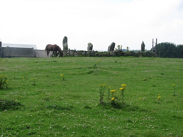
Known for its stunning natural beauty, Furnes Hillock offers breathtaking panoramic views of the surrounding countryside. Its slopes are covered in lush green vegetation, including heather and grasses, providing a picturesque backdrop for hikers and nature enthusiasts. The hill is also home to a variety of wildlife, including birds, deer, and smaller mammals.
Furnes Hillock is a popular destination for outdoor activities such as hiking, hillwalking, and birdwatching. There are several well-defined trails that lead to the summit, catering to both experienced and novice hikers. The hill's relatively gentle slopes make it accessible to a wide range of fitness levels.
At the summit of Furnes Hillock, visitors can enjoy uninterrupted vistas of the surrounding mountains and valleys. On clear days, it is possible to see as far as the North Sea coastline to the east. The hill is particularly famous for its stunning sunrises and sunsets, attracting photographers and nature enthusiasts alike.
Overall, Furnes Hillock is a natural gem within the Cairngorms National Park, offering visitors an opportunity to immerse themselves in the beauty of the Scottish Highlands and explore its diverse flora and fauna.
If you have any feedback on the listing, please let us know in the comments section below.
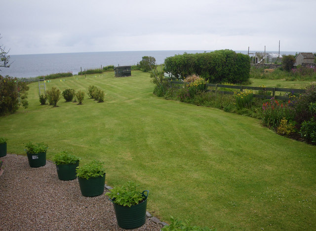
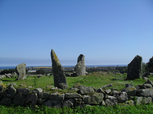
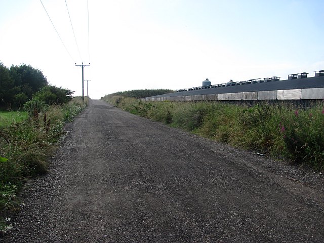
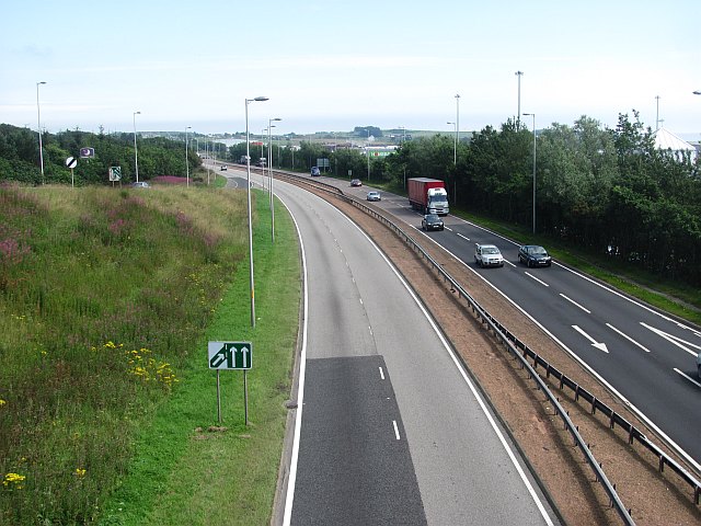
Furnes Hillock Images
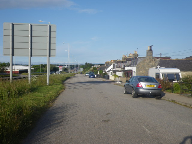
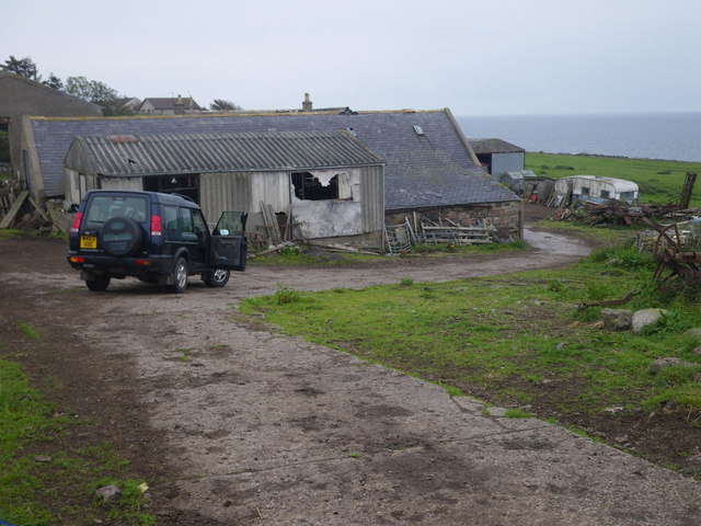
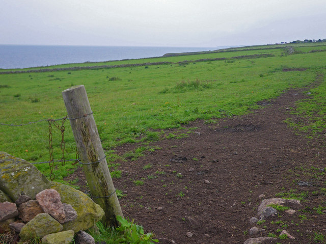
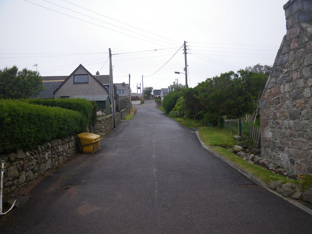
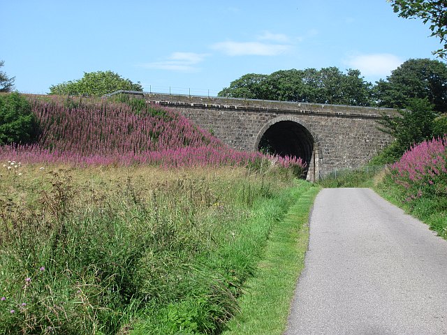
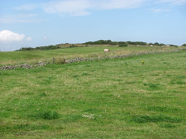
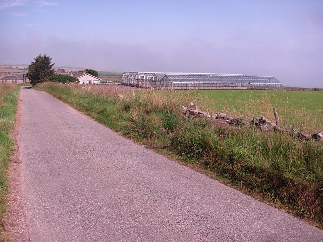
Images are sourced within 2km of 57.063611/-2.1175499 or Grid Reference NO9296. Thanks to Geograph Open Source API. All images are credited.


Furnes Hillock is located at Grid Ref: NO9296 (Lat: 57.063611, Lng: -2.1175499)
Unitary Authority: Aberdeenshire
Police Authority: North East
What 3 Words
///zooms.earth.shirtless. Near Portlethen, Aberdeenshire
Nearby Locations
Related Wikis

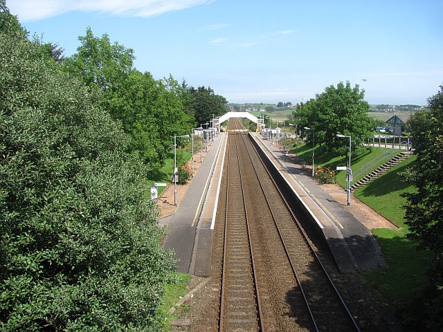
Portlethen railway station
Portlethen railway station serves the town of Portlethen in Aberdeenshire, Scotland. It is sited 232 miles 59 chains (374.6 km) from Carlisle via Perth...

Portlethen Village
Portlethen Village is a settlement located to the east of Portlethen along the North Sea coast in Aberdeenshire, Scotland. The village is also known as...

Portlethen
Portlethen (; Scottish Gaelic: Port Leathain) is a town located approximately 7 miles south of Aberdeen, Scotland along the A92. The population according...

Findon, Aberdeenshire
Findon (Gaelic: Fionndan, Scots: Finnan) is a fishing village eight miles south of Aberdeen, famous for originating the smoked haddock known as Finnan...
Nearby Amenities
Located within 500m of 57.063611,-2.1175499Have you been to Furnes Hillock?
Leave your review of Furnes Hillock below (or comments, questions and feedback).