Cockett Hill

Hill, Mountain in Dorset

England

Cockett Hill

Samuel Crumpler's Oak Tree, Old Park, Lytchett Matravers See also: 
<a href="https://www.geograph.org.uk/photo/5129868">SY9295 : The Giant and the Dwarf</a>

A COUNTRY TRAGEDY
By Beau Parke 
Samuel Crumpler paid the price for being so nice 
and trusting with his bull; 
He walked the field that blistering Summer's day 
whilst checking acreage and gauging chores 
unmindful of his young and powerful charge. 
Then suddenly the animal took pace 
and rushed and roared and snorted t'wards his face, 
whilst Sam stepped back, yet still believed 
the bull was easy to contain: 
But on it went, momentum built 
to such a speed and strength that Sam, alarmed, 
tried frantic'ly to reach for branches of the nearby oak, 
but failed to get the leverage he needed now 
to avoid its frenzied, maddened surge; 
He yelled in terrifying pain as he was pinned against 
the trunk and gored relentlessly by this unreal, unreasoning 
monster that he'd fed and nurtured from a calf; 
The blood was spurting forth as sweat and slime and slaver 
from the bull was intermixed with gore, 
and bones were crushed till Samuel Crumpler's broken frame 
was tossed into the air, now cruelly 
scythed and crunched beyond all comprehension. 

His sorrowing widow and nine sons and daughters 
saw him laid to rest a few days later 
in the Village Churchyard, knowing that local history 
had been made at his expense for trusting that 
young bull and lowering his guard. 
Samuel Crumpler, wheelwright, carpenter and sometime farmer died, 
aged fifty-five, in 1849; a kind and strong and gallant, 
some say foolish, family man.
Samuel Crumpler's Oak Tree, Old Park, Lytchett Matravers Credit: Becky Williamson

Cockett Hill is a prominent natural landmark located in Dorset, England. Situated near the village of Cattistock, this hill stands at an elevation of approximately 207 meters (679 feet) above sea level. It is known for its stunning panoramic views of the surrounding countryside, making it a popular destination for outdoor enthusiasts and nature lovers.

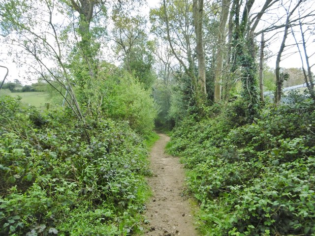
The hill is characterized by its gentle slopes and rolling landscape, covered in lush greenery and scattered with patches of woodland. It is predominantly composed of limestone, which contributes to its distinctive geological features. Cockett Hill is part of the Dorset Area of Outstanding Natural Beauty, which recognizes and protects its unique and visually appealing landscape.

Several footpaths and trails traverse the hill, offering visitors the opportunity to explore its natural beauty by foot. These routes provide access to the summit, where one can enjoy breathtaking vistas stretching across the Dorset countryside, including nearby valleys, farmland, and quaint villages.

Cockett Hill also holds historical significance, as it is believed to have been used as an Iron Age hillfort in ancient times. Archaeological evidence suggests that the hill was fortified with ditches and ramparts, serving as a defensive structure. The remnants of these ancient fortifications can still be seen today and add an intriguing layer of historical interest to the site.

In summary, Cockett Hill in Dorset is a picturesque natural landmark with stunning views, diverse flora, and historical significance. Its accessible trails and captivating scenery make it an ideal destination for outdoor enthusiasts and those seeking a peaceful retreat in the heart of the English countryside.

If you have any feedback on the listing, please let us know in the comments section below.
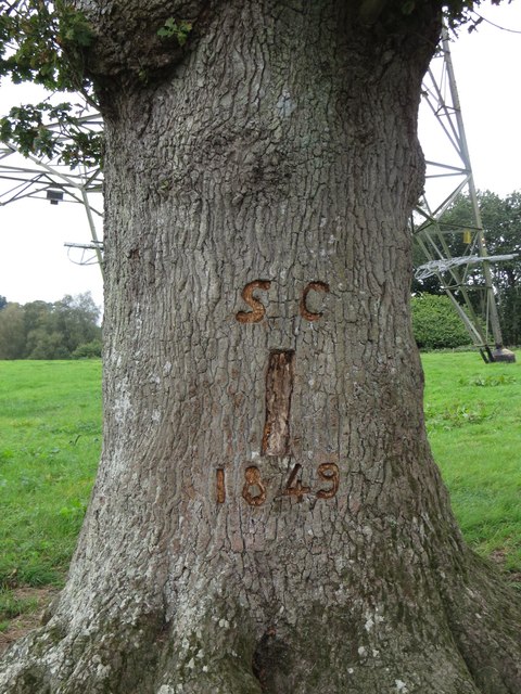
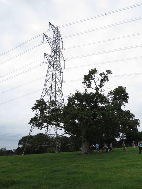
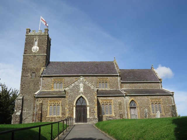
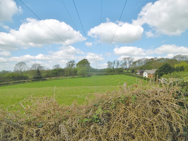
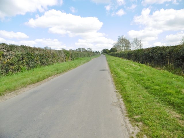
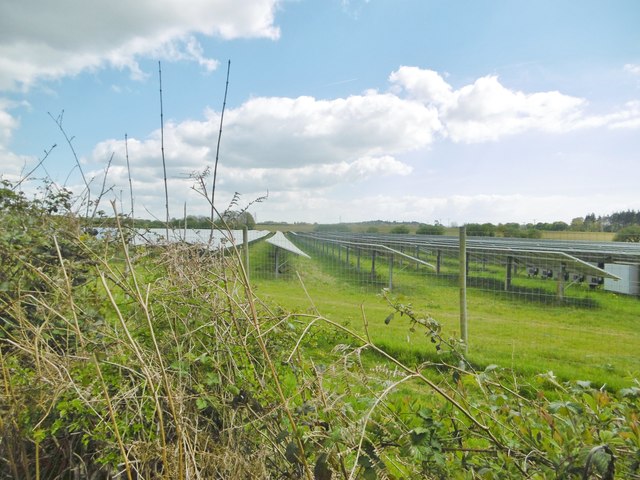
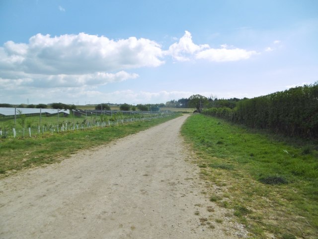
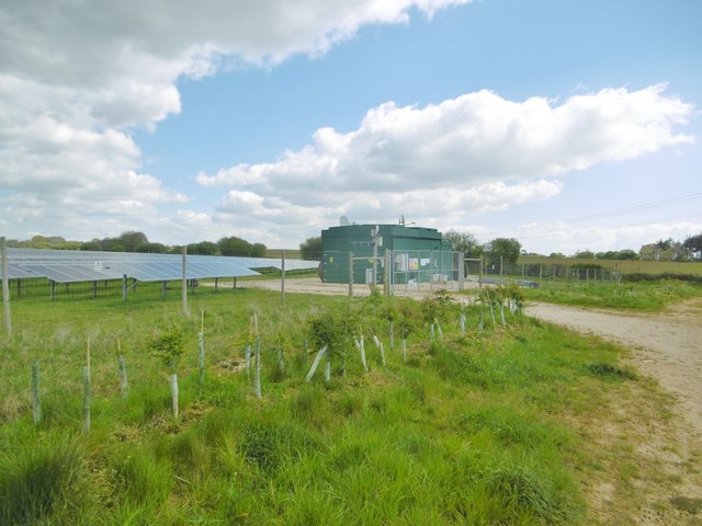
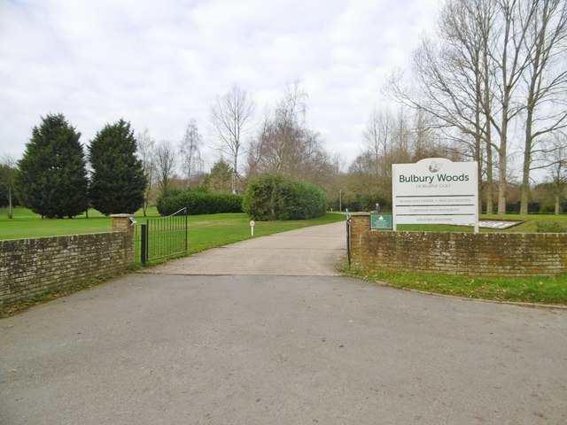
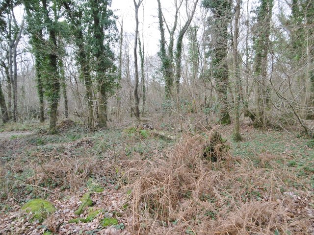
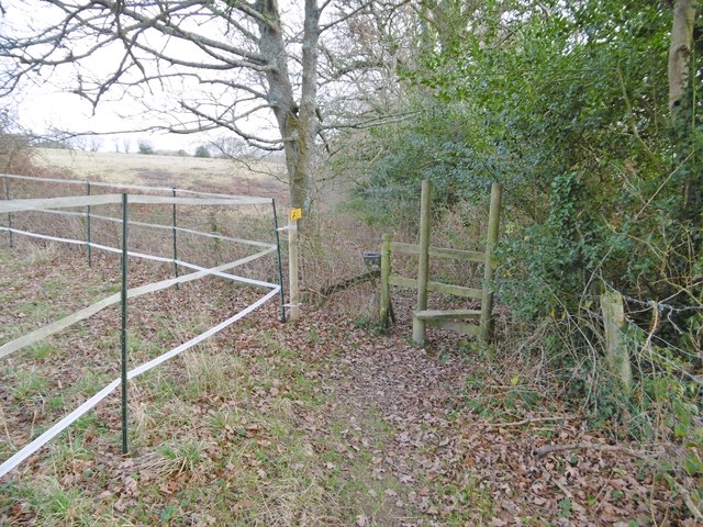
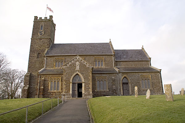
Cockett Hill Images

Images are sourced within 2km of 50.758781/-2.11056 or Grid Reference SY9295. Thanks to Geograph Open Source API. All images are credited.

Samuel Crumpler's Oak Tree, Old Park, Lytchett Matravers See also: 
<a href="https://www.geograph.org.uk/photo/5129868">SY9295 : The Giant and the Dwarf</a>

A COUNTRY TRAGEDY
By Beau Parke 
Samuel Crumpler paid the price for being so nice 
and trusting with his bull; 
He walked the field that blistering Summer's day 
whilst checking acreage and gauging chores 
unmindful of his young and powerful charge. 
Then suddenly the animal took pace 
and rushed and roared and snorted t'wards his face, 
whilst Sam stepped back, yet still believed 
the bull was easy to contain: 
But on it went, momentum built 
to such a speed and strength that Sam, alarmed, 
tried frantic'ly to reach for branches of the nearby oak, 
but failed to get the leverage he needed now 
to avoid its frenzied, maddened surge; 
He yelled in terrifying pain as he was pinned against 
the trunk and gored relentlessly by this unreal, unreasoning 
monster that he'd fed and nurtured from a calf; 
The blood was spurting forth as sweat and slime and slaver 
from the bull was intermixed with gore, 
and bones were crushed till Samuel Crumpler's broken frame 
was tossed into the air, now cruelly 
scythed and crunched beyond all comprehension. 

His sorrowing widow and nine sons and daughters 
saw him laid to rest a few days later 
in the Village Churchyard, knowing that local history 
had been made at his expense for trusting that 
young bull and lowering his guard. 
Samuel Crumpler, wheelwright, carpenter and sometime farmer died, 
aged fifty-five, in 1849; a kind and strong and gallant, 
some say foolish, family man.
Samuel Crumpler's Oak Tree, Old Park, Lytchett Matravers
See also: SY9295 : The Giant and the Dwarf A COUNTRY TRAGEDY By Beau Parke Samuel Crumpler paid the price for being so nice and trusting with his bull; He walked the field that blistering Summer's day whilst checking acreage and gauging chores unmindful of his young and powerful charge. Then suddenly the animal took pace and rushed and roared and snorted t'wards his face, whilst Sam stepped back, yet still believed the bull was easy to contain: But on it went, momentum built to such a speed and strength that Sam, alarmed, tried frantic'ly to reach for branches of the nearby oak, but failed to get the leverage he needed now to avoid its frenzied, maddened surge; He yelled in terrifying pain as he was pinned against the trunk and gored relentlessly by this unreal, unreasoning monster that he'd fed and nurtured from a calf; The blood was spurting forth as sweat and slime and slaver from the bull was intermixed with gore, and bones were crushed till Samuel Crumpler's broken frame was tossed into the air, now cruelly scythed and crunched beyond all comprehension. His sorrowing widow and nine sons and daughters saw him laid to rest a few days later in the Village Churchyard, knowing that local history had been made at his expense for trusting that young bull and lowering his guard. Samuel Crumpler, wheelwright, carpenter and sometime farmer died, aged fifty-five, in 1849; a kind and strong and gallant, some say foolish, family man.
The Giant and the Dwarf This veteran Oak tree is dwarfed by its infant neighbour. It soaks up the negative energy emitted by the pylons. For more information about this oak tree, see <a href="https://www.geograph.org.uk/photo/5129861">SY9295 : Samuel Crumpler's Oak Tree, Old Park, Lytchett Matravers</a>.
The Giant and the Dwarf
This veteran Oak tree is dwarfed by its infant neighbour. It soaks up the negative energy emitted by the pylons. For more information about this oak tree, see SY9295 : Samuel Crumpler's Oak Tree, Old Park, Lytchett Matravers.
St Mary's Church, East Morden
Lytchett Matravers, power lines Striding across grazing land.
Lytchett Matravers, power lines
Striding across grazing land.
Lytchett Matravers, bridleway Through grazing land, from Middle Road to Halls Road.
Lytchett Matravers, bridleway
Through grazing land, from Middle Road to Halls Road.
Lytchett Matravers, caravans Traditional Dorset shepherd's caravans, in a field next to <a href="https://www.geograph.org.uk/photo/5356590">SY9394 : Lytchett Matravers, bridleway</a>.
Lytchett Matravers, caravans
Traditional Dorset shepherd's caravans, in a field next to SY9394 : Lytchett Matravers, bridleway.
Lytchett Matravers, pumping station On Halls Road.
Lytchett Matravers, pumping station
On Halls Road.
Lytchett Matravers, Halls Road A straight road connecting Bulbury Lane with Wareham Road, and forming the boundary between Lytchett Matravers (left) and Lytchett Minster (right). To the front is an illegible boundary stone.
Lytchett Matravers, Halls Road
A straight road connecting Bulbury Lane with Wareham Road, and forming the boundary between Lytchett Matravers (left) and Lytchett Minster (right). To the front is an illegible boundary stone.
Lytchett Matravers, Middle Road Leading from Halls Road to the village centre.
Lytchett Matravers, Middle Road
Leading from Halls Road to the village centre.
Lytchett Matravers, solar farm Operated by Conergy. <span class="nowrap"><a title="http://www.conergy.com/" rel="nofollow ugc noopener" href="http://www.conergy.com/">Link</a><img style="margin-left:2px;" alt="External link" title="External link - shift click to open in new window" src="https://s1.geograph.org.uk/img/external.png" width="10" height="10"/></span>
Lytchett Matravers, solar farm
Operated by Conergy. LinkExternal link
Slepe, access road Road and bridleway, giving access to the solar farm (left) and Newton Farm; the bridleway continues to Wareham Road.
Slepe, access road
Road and bridleway, giving access to the solar farm (left) and Newton Farm; the bridleway continues to Wareham Road.
Slepe, inverter station Connecting the solar farm's output to the grid. The station is operated by Conergy: <span class="nowrap"><a title="http://www.conergy.com/" rel="nofollow ugc noopener" href="http://www.conergy.com/">Link</a><img style="margin-left:2px;" alt="External link" title="External link - shift click to open in new window" src="https://s1.geograph.org.uk/img/external.png" width="10" height="10"/></span>
Slepe, inverter station
Connecting the solar farm's output to the grid. The station is operated by Conergy: LinkExternal link
Slepe, golf course The tenth tee at Bulbury Woods Golf Club, off Bulbury Lane: <span class="nowrap"><a title="http://www.bulbury-woods.co.uk/" rel="nofollow ugc noopener" href="http://www.bulbury-woods.co.uk/">Link</a><img style="margin-left:2px;" alt="External link" title="External link - shift click to open in new window" src="https://s1.geograph.org.uk/img/external.png" width="10" height="10"/></span>
Slepe, golf course
The tenth tee at Bulbury Woods Golf Club, off Bulbury Lane: LinkExternal link
Slepe, club entrance On Bulbury Lane, the entrance to Bulbury Woods Golf Club: <span class="nowrap"><a title="http://www.bulbury-woods.co.uk/" rel="nofollow ugc noopener" href="http://www.bulbury-woods.co.uk/">Link</a><img style="margin-left:2px;" alt="External link" title="External link - shift click to open in new window" src="https://s1.geograph.org.uk/img/external.png" width="10" height="10"/></span>
Slepe, club entrance
On Bulbury Lane, the entrance to Bulbury Woods Golf Club: LinkExternal link
Slepe, ditch Seen from Bulbury Lane; probably draining into Sherford River, to the South.
Slepe, ditch
Seen from Bulbury Lane; probably draining into Sherford River, to the South.
Slepe, coppice Bulbury Coppice, at Bulbury Woods Golf Club.
Slepe, coppice
Bulbury Coppice, at Bulbury Woods Golf Club.
Slepe, clubhouse At Bulbury Woods Golf Club: <span class="nowrap"><a title="http://www.bulbury-woods.co.uk/" rel="nofollow ugc noopener" href="http://www.bulbury-woods.co.uk/">Link</a><img style="margin-left:2px;" alt="External link" title="External link - shift click to open in new window" src="https://s1.geograph.org.uk/img/external.png" width="10" height="10"/></span>
Slepe, clubhouse
At Bulbury Woods Golf Club: LinkExternal link
East Morden, stile On the footpath from Cockett Hill to Dolman's Hill; electric fence for a horse paddock, left.
East Morden, stile
On the footpath from Cockett Hill to Dolman's Hill; electric fence for a horse paddock, left.
Show me another place!

Cockett Hill is located at Grid Ref: SY9295 (Lat: 50.758781, Lng: -2.11056)

Unitary Authority: Dorset

Police Authority: Dorset

What 3 Words

///cornfield.juror.rehearsal. Near Lytchett Matravers, Dorset

Related Wikis

Morden, Dorset

Morden (otherwise Moreden) is a civil parish in the Purbeck district of south Dorset, England. Morden is about 6 miles (10 km) north-west of Poole. At...

St Mary the Virgin, Lytchett Matravers

St Mary the Virgin is the Church of England parish church of Lytchett Matravers in Dorset. Its parish is part of the Diocese of Salisbury. The building...

Loosebarrow Hundred

Loosebarrow Hundred was a hundred in the county of Dorset, England, containing the following parishes: Almer Morden Spetisbury == See also == List of...

Lytchett Matravers

Lytchett Matravers is a large village and civil parish in Dorset, England. The 2011 census recorded the parish as having 1,439 households and a population...

Nearby Amenities

Located within 500m of 50.758781,-2.11056
Power: tower
Source: Bing
Lat/Long: 50.760052/-2.104182
Power: tower
Source: Bing
Lat/Long: 50.7579712/-2.106143
Power: tower
Ref: 4VN 103
Source: GPS+GLONASS
Source Ref: survey
Lat/Long: 50.75504/-2.1088157
Colour: gray
Design: portal
Line Attachment: suspension
Material: metal
Power: tower
Ref: PZB 11
Source: bing
Source Ref: interpolation
Structure: lattice
Lat/Long: 50.7596088/-2.1043996
Colour: gray
Design: portal
Line Attachment: suspension
Material: metal
Power: tower
Ref: PZB 12
Source: bing
Source Ref: interpolation
Structure: lattice
Lat/Long: 50.7605795/-2.1054918
Colour: gray
Design: portal
Line Attachment: suspension
Material: metal
Power: tower
Ref: PZB 13
Source: bing
Source Ref: interpolation
Structure: lattice
Lat/Long: 50.7616174/-2.1066157
Material: wood
Power: pole
Source: bing
Lat/Long: 50.7556164/-2.1059308
Material: wood
Power: pole
Source: bing
Lat/Long: 50.7561217/-2.107323
Material: wood
Power: pole
Source: bing
Lat/Long: 50.7566358/-2.1087415
Material: wood
Power: pole
Source: bing
Lat/Long: 50.7569674/-2.1096952
Material: wood
Power: pole
Source: bing
Lat/Long: 50.7576814/-2.1097442
Material: wood
Power: pole
Source: bing
Lat/Long: 50.7577782/-2.1118481
Material: wood
Power: pole
Source: bing
Lat/Long: 50.7579995/-2.1134468
Material: wood
Power: pole
Source: bing
Lat/Long: 50.7581794/-2.1150779
Material: wood
Power: pole
Source: bing
Lat/Long: 50.7583948/-2.1168585
Material: wood
Power: pole
Source: bing
Lat/Long: 50.7583978/-2.1098081
Material: wood
Power: pole
Source: bing
Lat/Long: 50.7595736/-2.1098984
Material: wood
Power: pole
Source: bing
Lat/Long: 50.7610016/-2.1100376
Material: wood
Power: pole
Source: bing
Lat/Long: 50.7623112/-2.1101195
Material: wood
Power: pole
Ref: 45;57304454
Ref Switch: 71844
Source: GPS+GLONASS
Switch: mechanical
Lat/Long: 50.7574017/-2.1107874
Material: wood
Power: pole
Lat/Long: 50.7568165/-2.1157574
Material: wood
Power: pole
Lat/Long: 50.7571092/-2.1162
Material: wood
Power: pole
Lat/Long: 50.757407/-2.1166266
Material: wood
Power: pole
Lat/Long: 50.7580056/-2.1175267
Material: wood
Power: pole
Source: survey
Transformer: distribution
Lat/Long: 50.7612737/-2.1128074
Material: wood
Power: pole
Lat/Long: 50.7616993/-2.1107856
Colour: green
Man Made: street_cabinet
Operator: Wessex Internet
Street Cabinet: telecom
Lat/Long: 50.7577769/-2.1118198
The data included in this document is from www.openstreetmap.org. The data is made available under ODbL.

Have you been to Cockett Hill?

Leave your review of Cockett Hill below (or comments, questions and feedback).