Duff's Hill

Hill, Mountain in Kincardineshire

Scotland

Duff's Hill

Island residential street adjacent to dual carriageway This odd street has no access other than directly to the dual carriageway. Thus the sound levels are quite high here, as front yards face the A90.
Island residential street adjacent to dual carriageway Credit: C Michael Hogan

Duff's Hill is a prominent hill located in the region of Kincardineshire, Scotland. It is situated near the village of Fettercairn and forms part of the Grampian Mountains. Rising to an elevation of approximately 1,532 feet (467 meters), it offers stunning panoramic views of the surrounding countryside.

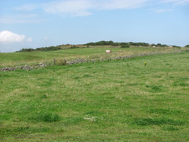
The hill is characterized by its rugged terrain, with steep slopes covered in heather and grasses. It is popular among hikers and outdoor enthusiasts seeking a challenging climb and breathtaking vistas. A well-maintained path leads to the summit, making it accessible to both experienced hikers and beginners.

At the top of Duff's Hill, visitors are rewarded with a magnificent view that stretches across the rolling hills of Kincardineshire, the vast Montrose Basin, and even as far as the North Sea coastline. On clear days, it is possible to spot landmarks such as the iconic Dunnottar Castle and the distinctive peak of Bennachie in the distance.

The hill is also known for its rich biodiversity, with various plant and animal species inhabiting its slopes. It is home to a diverse range of birdlife, including peregrine falcons, buzzards, and occasionally golden eagles. In the summer months, wildflowers bloom, adding vibrant colors to the landscape.

Overall, Duff's Hill offers an invigorating hiking experience and an opportunity to immerse oneself in the natural beauty of Kincardineshire. It is a must-visit destination for those seeking adventure and a chance to appreciate Scotland's stunning mountainscapes.

If you have any feedback on the listing, please let us know in the comments section below.
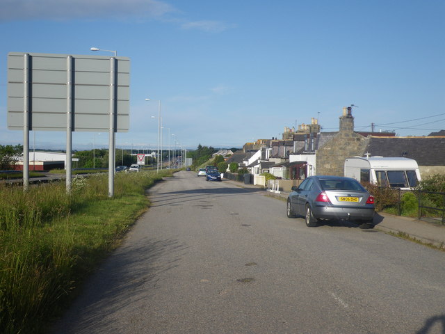
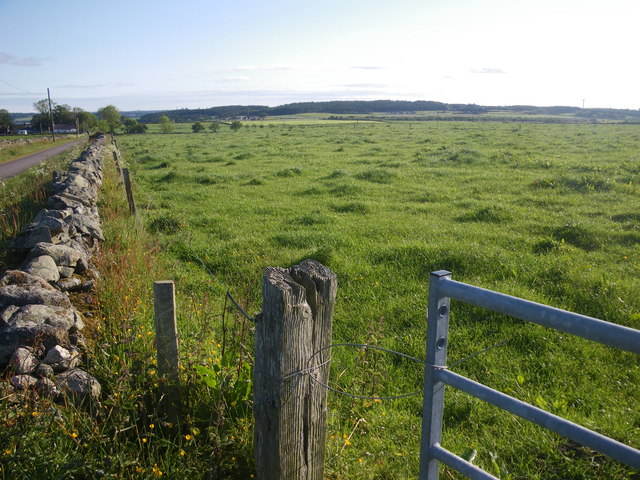
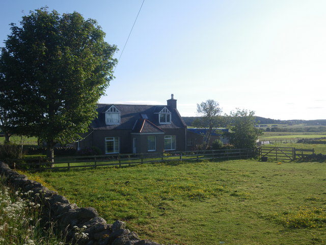
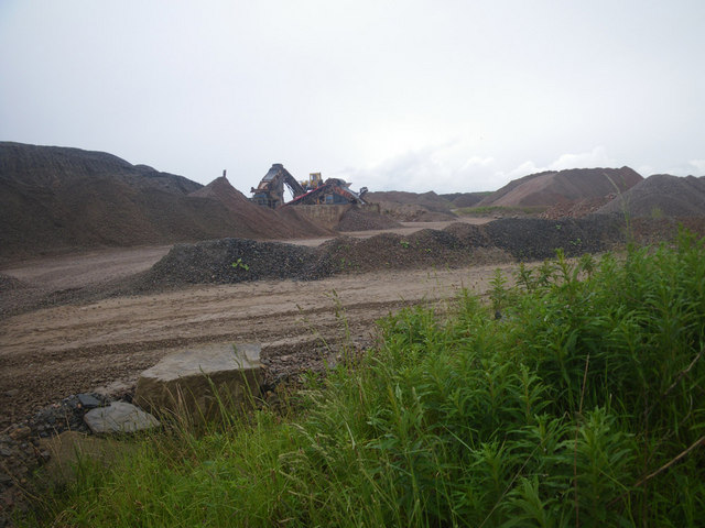
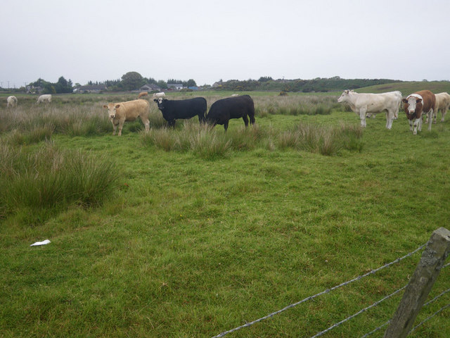
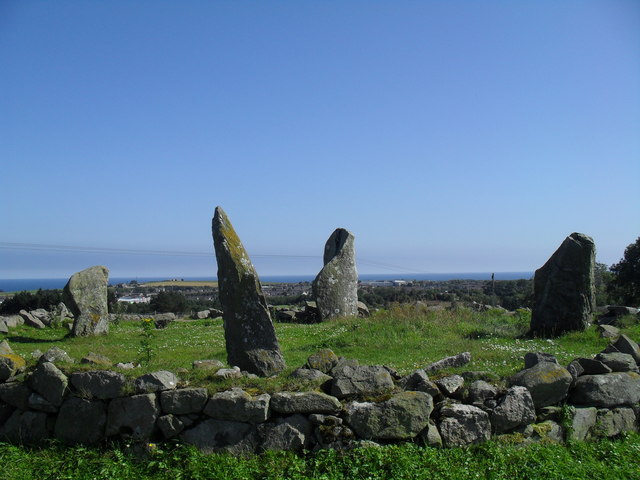
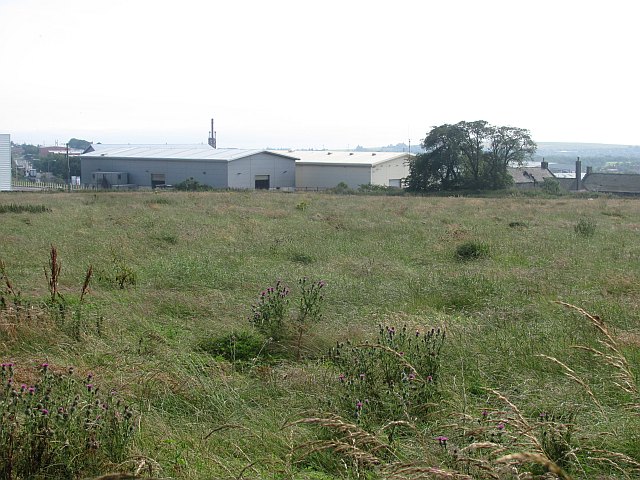
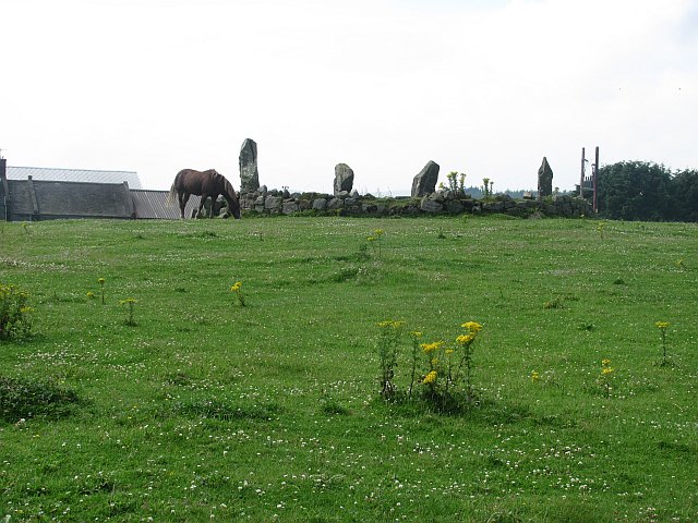
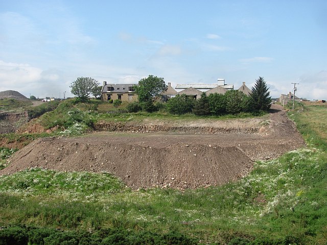
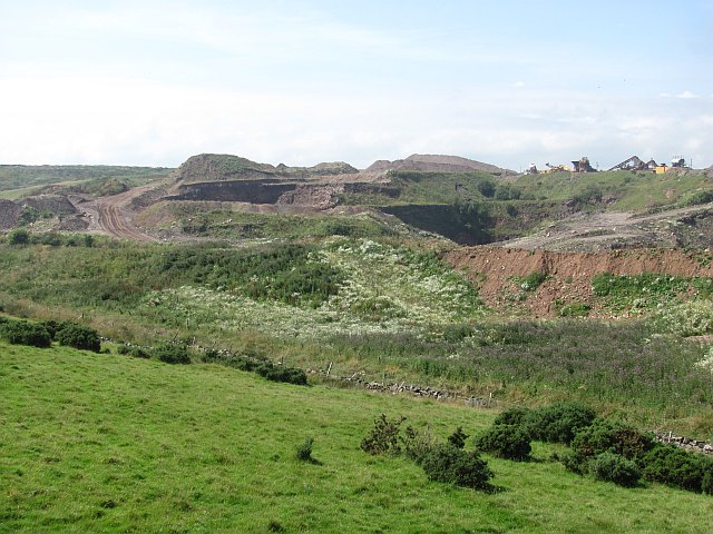
Duff's Hill Images

Images are sourced within 2km of 57.082511/-2.1356416 or Grid Reference NO9199. Thanks to Geograph Open Source API. All images are credited.

Island residential street adjacent to dual carriageway This odd street has no access other than directly to the dual carriageway. Thus the sound levels are quite high here, as front yards face the A90.
Island residential street adjacent to dual carriageway
This odd street has no access other than directly to the dual carriageway. Thus the sound levels are quite high here, as front yards face the A90.
Drystone dyke frames the verdant field Photographer is standing at the verge of the minor paved road, looking across the field access gate.
Drystone dyke frames the verdant field
Photographer is standing at the verge of the minor paved road, looking across the field access gate.
Horse clad for the morning chill Even though the temperature this morning is 13 degees C, this pampered animal is prepared for colder. Photographer is standing somewhat east of the minor road.
Horse clad for the morning chill
Even though the temperature this morning is 13 degees C, this pampered animal is prepared for colder. Photographer is standing somewhat east of the minor road.
Little Bishopston in the morning light This view is from slightly east of the minor road. A small sliver of Hare Moss is faintly visible at image right.
Little Bishopston in the morning light
This view is from slightly east of the minor road. A small sliver of Hare Moss is faintly visible at image right.
Fields east of Hare Moss Photographer is standing on the western side of the minor paved road. Hare Moss is the darker green wooded area toward image top.
Fields east of Hare Moss
Photographer is standing on the western side of the minor paved road. Hare Moss is the darker green wooded area toward image top.
Recently clearcut conifer forest Young saplings of new growth alien conifers have begun to emerge to cover the ground.
Recently clearcut conifer forest
Young saplings of new growth alien conifers have begun to emerge to cover the ground.
Strange coastal industrial land use Photographer is standing near a large scale industrial gravel staging area; moreover, this type of land use so near the beautiful rugged coastline is a very strange council decision.
Strange coastal industrial land use
Photographer is standing near a large scale industrial gravel staging area; moreover, this type of land use so near the beautiful rugged coastline is a very strange council decision.
Cows grazing not far from the coastline This pasture is very moist and exhibits a high occurrence of Juncus species.
Cows grazing not far from the coastline
This pasture is very moist and exhibits a high occurrence of Juncus species.
Stone Circle by Causey Mounth A stone circle of 4 standing stones of different sizes. In a field just by the Causey Mounth (old road connecting Aberdeen and Stonehaven). Taken looking across to the North Sea
Stone Circle by Causey Mounth
A stone circle of 4 standing stones of different sizes. In a field just by the Causey Mounth (old road connecting Aberdeen and Stonehaven). Taken looking across to the North Sea
Badentoy Park An industrial estate on the site of Badentoy Farm, the steadings are visible.
Badentoy Park
An industrial estate on the site of Badentoy Farm, the steadings are visible.
Grampian Fire and Rescue Development Centre Training facility for fire fighters.
Grampian Fire and Rescue Development Centre
Training facility for fire fighters.
Newly ploughed surface This field has the appearance of having had a lot of rock and soil dumped on it. I suspected a possible landfill site, but have found no evidence.
Newly ploughed surface
This field has the appearance of having had a lot of rock and soil dumped on it. I suspected a possible landfill site, but have found no evidence.
Causey Mounth An unsealed road on the route of an old Mounth Road. Here it passes a poultry unit and approaches the oil dominated industrial areas of Portlethen.
Causey Mounth
An unsealed road on the route of an old Mounth Road. Here it passes a poultry unit and approaches the oil dominated industrial areas of Portlethen.
Reemit Hill Grass fields outside Findon.  The dyke conceals a minor road.
Reemit Hill
Grass fields outside Findon. The dyke conceals a minor road.
Stone circle on the Causey Mounth Now becoming surrounded by industrial properties.
Stone circle on the Causey Mounth
Now becoming surrounded by industrial properties.
Mains of Cairnrobin Derelict farm with a nearby quarry.
Mains of Cairnrobin
Derelict farm with a nearby quarry.
Gravel pit, Finedon Extensive quarry workings beside the railway.
Gravel pit, Finedon
Extensive quarry workings beside the railway.
New junction at Findon, south of Aberdeen Part, I assume, of the controversial and long-planned Aberdeen bypass.
New junction at Findon, south of Aberdeen
Part, I assume, of the controversial and long-planned Aberdeen bypass.
Show me another place!

Duff's Hill is located at Grid Ref: NO9199 (Lat: 57.082511, Lng: -2.1356416)

Unitary Authority: Aberdeenshire

Police Authority: North East

What 3 Words

///dumps.maker.chaos. Near Portlethen, Aberdeenshire

Nearby Locations

Duff's Hill Duff's Hill

Related Wikis

Hare Moss

Hare Moss is a bog in Aberdeenshire, Scotland, in the vicinity of Banchory-Devenick. Hare Moss is a significant wetland ecosystem. == History == Hare...

Aberdeen South (UK Parliament constituency)

Aberdeen South is a burgh constituency of the House of Commons of the Parliament of the United Kingdom and it elects one Member of Parliament (MP) by the...

Portlethen railway station

Portlethen railway station serves the town of Portlethen in Aberdeenshire, Scotland. It is sited 232 miles 59 chains (374.6 km) from Carlisle via Perth...

Portlethen

Portlethen (; Scottish Gaelic: Port Leathain) is a town located approximately 7 miles south of Aberdeen, Scotland along the A92. The population according...

Findon, Aberdeenshire

Findon (Gaelic: Fionndan, Scots: Finnan) is a fishing village eight miles south of Aberdeen, famous for originating the smoked haddock known as Finnan...

Portlethen Academy

Portlethen Academy is a six-year comprehensive secondary school in Portlethen, Aberdeenshire, Scotland. == History == With the expansion of the communities...

Portlethen Moss

The Portlethen Moss is an acidic bog nature reserve located to the west of the town of Portlethen, Aberdeenshire in Scotland. Like other mosses, this...

Portlethen Village

Portlethen Village is a settlement located to the east of Portlethen along the North Sea coast in Aberdeenshire, Scotland. The village is also known as...

Related Videos

Ian Poole's Transport Travel Vlogs #83 - Portlethen

vlog #blog #Portlethen So it is time to go home but before we go home, we are going to get another batch of buses done and ...

Portlethen Village - Great Photography Locations

Part of my Great Photography Locations series, Portlethen is a beautiful little seafront village just a little bit south of Aberdeen in ...

Dunnottar Castle, Scotland, walk around the stunning castle@Toms-trips

Wee trip to Dunnottar Castle, the place was quite busy, lovely weather and lots of interesting sights! Would definitely recommend a ...

Nearby Amenities

Located within 500m of 57.082511,-2.1356416
Material: wood
Power: pole
Lat/Long: 57.0818154/-2.1434347
Power: pole
Lat/Long: 57.0824935/-2.1428223
Power: pole
Lat/Long: 57.0831597/-2.1422178
Power: pole
Lat/Long: 57.0838201/-2.1416303
Power: pole
Lat/Long: 57.0844955/-2.1410025
Power: pole
Lat/Long: 57.0845531/-2.139785
Power: pole
Lat/Long: 57.084673/-2.1386121
Power: pole
Lat/Long: 57.0847928/-2.1374032
Power: pole
Lat/Long: 57.0849161/-2.1362303
Power: pole
Lat/Long: 57.0850268/-2.1351592
Power: pole
Lat/Long: 57.0851467/-2.1340521
Power: pole
Lat/Long: 57.0852711/-2.1329046
Power: pole
Lat/Long: 57.0853956/-2.1317275
Power: pole
Lat/Long: 57.0855178/-2.1305228
Give Way
Direction: backward
Lat/Long: 57.0842166/-2.1431048
Passing Place
Lat/Long: 57.0816198/-2.1434684
The data included in this document is from www.openstreetmap.org. The data is made available under ODbL.

Have you been to Duff's Hill?

Leave your review of Duff's Hill below (or comments, questions and feedback).