Duff's Hill

Settlement in Kincardineshire

Scotland

Duff's Hill

Island residential street adjacent to dual carriageway This odd street has no access other than directly to the dual carriageway. Thus the sound levels are quite high here, as front yards face the A90.
Island residential street adjacent to dual carriageway Credit: C Michael Hogan

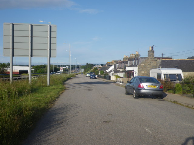
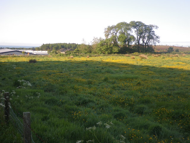
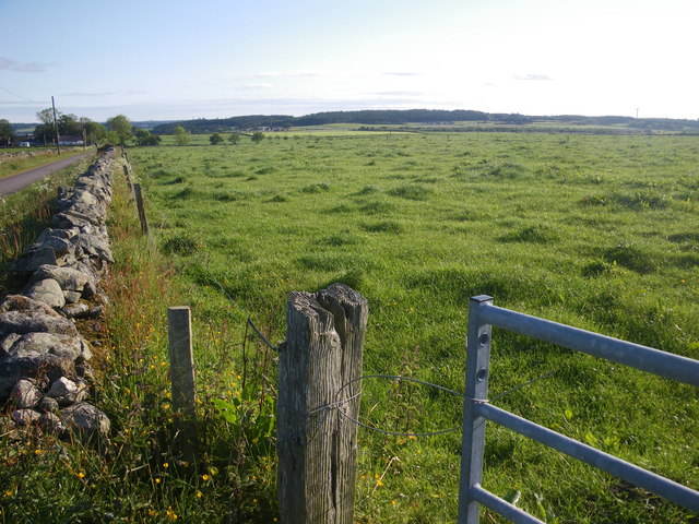
Duff's Hill is a small village located in the county of Kincardineshire, Scotland. Situated in the northeastern part of the country, it lies approximately 10 miles south of the city of Aberdeen. The village is nestled amidst a picturesque landscape, surrounded by rolling hills and lush green fields.

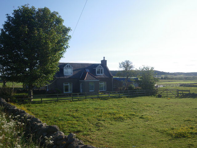
Duff's Hill is known for its tranquil and idyllic setting, attracting visitors who seek a peaceful retreat away from the bustling city life. The village is characterized by its charming stone cottages, which reflect the traditional Scottish architecture prevalent in the region.

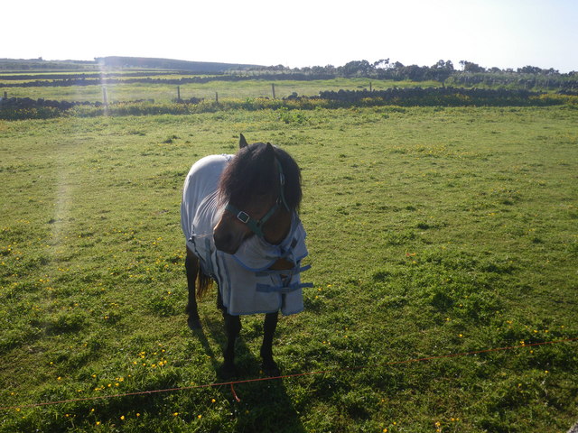
The village is home to a close-knit community, with a population of around 500 residents. The local economy primarily revolves around agriculture, with farming being the main occupation for many villagers. The fertile land in the surrounding areas enables the cultivation of various crops, contributing to the agricultural prosperity of the region.

Duff's Hill offers its residents and visitors a range of amenities. These include a village hall, a primary school, a local post office, and a small grocery store. The village also boasts a quaint pub, where locals and tourists can gather, socialize, and enjoy traditional Scottish fare.

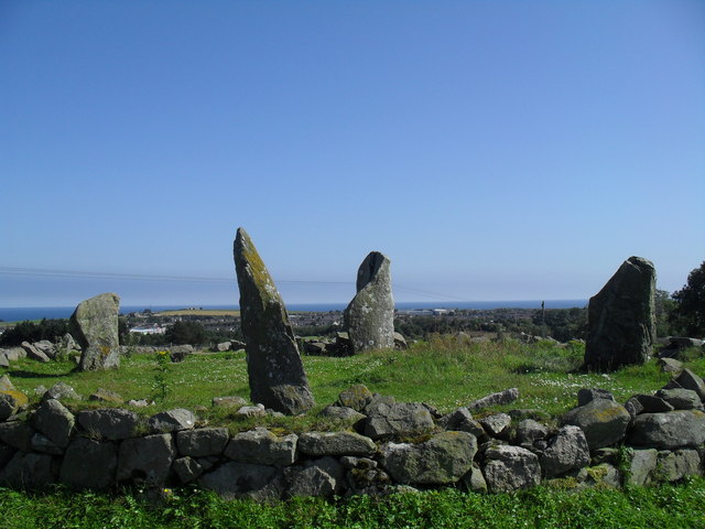
For outdoor enthusiasts, Duff's Hill offers numerous opportunities for exploration and recreation. The surrounding countryside provides ample walking and hiking trails, allowing visitors to experience the breathtaking natural beauty of the area. Additionally, the nearby River Dee is a popular spot for fishing enthusiasts, attracting anglers from far and wide.

Overall, Duff's Hill, Kincardineshire, is a charming and peaceful village that offers a serene escape for those seeking a break from the hectic pace of modern life.

If you have any feedback on the listing, please let us know in the comments section below.
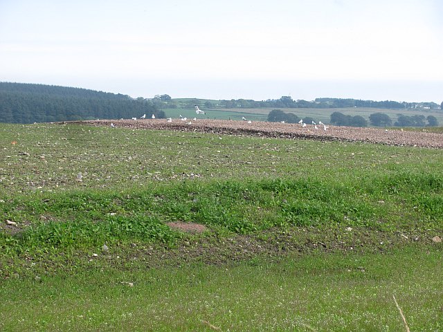
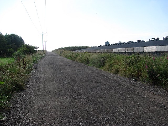
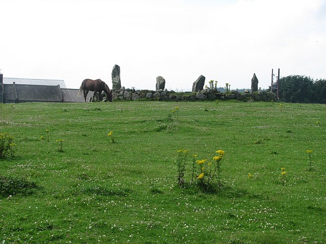
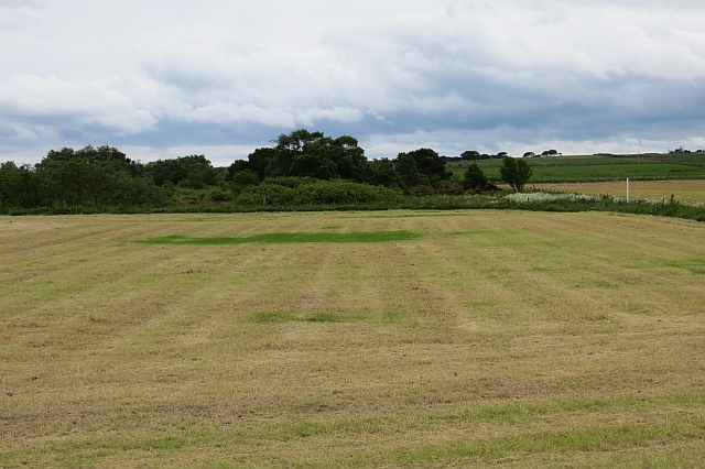
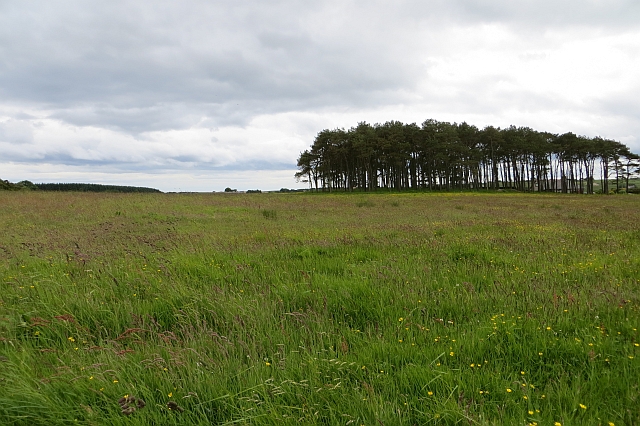
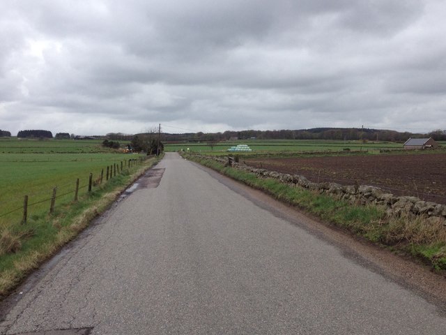
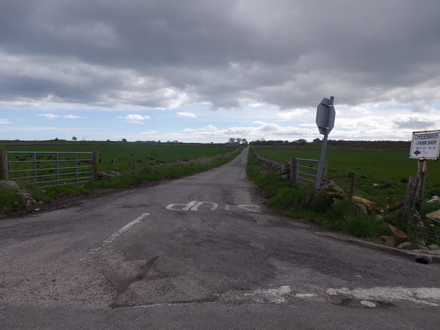
Duff's Hill Images

Images are sourced within 2km of 57.08192/-2.1501076 or Grid Reference NO9199. Thanks to Geograph Open Source API. All images are credited.

Island residential street adjacent to dual carriageway This odd street has no access other than directly to the dual carriageway. Thus the sound levels are quite high here, as front yards face the A90.
Island residential street adjacent to dual carriageway
This odd street has no access other than directly to the dual carriageway. Thus the sound levels are quite high here, as front yards face the A90.
Badentoy Farm This is a large commercial farm. The great shadow cast is from the morning illumination of a massive farm building nearby.
Badentoy Farm
This is a large commercial farm. The great shadow cast is from the morning illumination of a massive farm building nearby.
Drystone dyke frames the verdant field Photographer is standing at the verge of the minor paved road, looking across the field access gate.
Drystone dyke frames the verdant field
Photographer is standing at the verge of the minor paved road, looking across the field access gate.
Horse clad for the morning chill Even though the temperature this morning is 13 degees C, this pampered animal is prepared for colder. Photographer is standing somewhat east of the minor road.
Horse clad for the morning chill
Even though the temperature this morning is 13 degees C, this pampered animal is prepared for colder. Photographer is standing somewhat east of the minor road.
Little Bishopston in the morning light This view is from slightly east of the minor road. A small sliver of Hare Moss is faintly visible at image right.
Little Bishopston in the morning light
This view is from slightly east of the minor road. A small sliver of Hare Moss is faintly visible at image right.
Fields east of Hare Moss Photographer is standing on the western side of the minor paved road. Hare Moss is the darker green wooded area toward image top.
Fields east of Hare Moss
Photographer is standing on the western side of the minor paved road. Hare Moss is the darker green wooded area toward image top.
Recently clearcut conifer forest Young saplings of new growth alien conifers have begun to emerge to cover the ground.
Recently clearcut conifer forest
Young saplings of new growth alien conifers have begun to emerge to cover the ground.
Stone Circle by Causey Mounth A stone circle of 4 standing stones of different sizes. In a field just by the Causey Mounth (old road connecting Aberdeen and Stonehaven). Taken looking across to the North Sea
Stone Circle by Causey Mounth
A stone circle of 4 standing stones of different sizes. In a field just by the Causey Mounth (old road connecting Aberdeen and Stonehaven). Taken looking across to the North Sea
Badentoy Park An industrial estate on the site of Badentoy Farm, the steadings are visible.
Badentoy Park
An industrial estate on the site of Badentoy Farm, the steadings are visible.
Grampian Fire and Rescue Development Centre Training facility for fire fighters.
Grampian Fire and Rescue Development Centre
Training facility for fire fighters.
Newly ploughed surface This field has the appearance of having had a lot of rock and soil dumped on it. I suspected a possible landfill site, but have found no evidence.
Newly ploughed surface
This field has the appearance of having had a lot of rock and soil dumped on it. I suspected a possible landfill site, but have found no evidence.
Causey Mounth An unsealed road on the route of an old Mounth Road. Here it passes a poultry unit and approaches the oil dominated industrial areas of Portlethen.
Causey Mounth
An unsealed road on the route of an old Mounth Road. Here it passes a poultry unit and approaches the oil dominated industrial areas of Portlethen.
Stone circle on the Causey Mounth Now becoming surrounded by industrial properties.
Stone circle on the Causey Mounth
Now becoming surrounded by industrial properties.
New junction at Findon, south of Aberdeen Part, I assume, of the controversial and long-planned Aberdeen bypass.
New junction at Findon, south of Aberdeen
Part, I assume, of the controversial and long-planned Aberdeen bypass.
Looking towards Hare Moss A crop of silage has just been lifted from the foreground field.
Looking towards Hare Moss
A crop of silage has just been lifted from the foreground field.
Silage crop Just before cutting, this is mapped as rough grazing at 1:25,000.
Silage crop
Just before cutting, this is mapped as rough grazing at 1:25,000.
Road across Hare Moss
Minor road to Bishopston With sign indicating the way to a Cheesemaker and Farm Shop.
Minor road to Bishopston
With sign indicating the way to a Cheesemaker and Farm Shop.
Show me another place!

Duff's Hill is located at Grid Ref: NO9199 (Lat: 57.08192, Lng: -2.1501076)

Unitary Authority: Aberdeenshire

Police Authority: North East

What 3 Words

///supplier.welcome.apes. Near Portlethen, Aberdeenshire

Nearby Locations

Duff's Hill Duff's Hill

Related Wikis

Hare Moss

Hare Moss is a bog in Aberdeenshire, Scotland, in the vicinity of Banchory-Devenick. Hare Moss is a significant wetland ecosystem. == History == Hare...

Aberdeen South (UK Parliament constituency)

Aberdeen South is a burgh constituency of the House of Commons of the Parliament of the United Kingdom and it elects one Member of Parliament (MP) by the...

Portlethen

Portlethen (; Scottish Gaelic: Port Leathain) is a town located approximately 7 miles south of Aberdeen, Scotland along the A92. The population according...

Portlethen railway station

Portlethen railway station serves the town of Portlethen in Aberdeenshire, Scotland. It is sited 232 miles 59 chains (374.6 km) from Carlisle via Perth...

Nearby Amenities

Located within 500m of 57.08192,-2.1501076
Material: wood
Power: pole
Lat/Long: 57.0815734/-2.1579994
Material: wood
Power: pole
Lat/Long: 57.0815976/-2.1569749
Material: wood
Power: pole
Lat/Long: 57.0816183/-2.1559357
Material: wood
Power: pole
Lat/Long: 57.0816333/-2.1551785
Material: wood
Power: pole
Lat/Long: 57.0816437/-2.1544361
Material: wood
Power: pole
Lat/Long: 57.0816449/-2.1536705
Material: wood
Power: pole
Lat/Long: 57.081661/-2.1529281
Material: wood
Power: pole
Lat/Long: 57.0816794/-2.1521391
Material: wood
Power: pole
Lat/Long: 57.081691/-2.1514965
Material: wood
Power: pole
Lat/Long: 57.081714/-2.1501179
Power: pole
Lat/Long: 57.0817175/-2.1495664
Power: pole
Lat/Long: 57.0817267/-2.1490956
Power: pole
Lat/Long: 57.0817394/-2.1482875
Material: wood
Power: pole
Lat/Long: 57.0817532/-2.1474645
Material: wood
Power: pole
Lat/Long: 57.0817762/-2.1462026
Material: wood
Power: pole
Lat/Long: 57.0817981/-2.1448642
Material: wood
Power: pole
Lat/Long: 57.0818154/-2.1434347
Power: pole
Lat/Long: 57.0857373/-2.147902
Power: pole
Lat/Long: 57.0854411/-2.1490431
Power: pole
Lat/Long: 57.0843707/-2.1491422
Power: pole
Lat/Long: 57.0834152/-2.1492101
Power: pole
Lat/Long: 57.0825462/-2.1492801
Power: pole
Lat/Long: 57.0818062/-2.1493543
Power: pole
Lat/Long: 57.080989/-2.149507
Power: pole
Lat/Long: 57.0801741/-2.1496682
Power: pole
Lat/Long: 57.0793603/-2.1498421
Power: pole
Lat/Long: 57.0785511/-2.1500097
Power: pole
Lat/Long: 57.0777361/-2.1501857
Power: pole
Lat/Long: 57.0824935/-2.1428223
Power: pole
Lat/Long: 57.0831597/-2.1422178
Give Way
Direction: backward
Lat/Long: 57.0842166/-2.1431048
Passing Place
Lat/Long: 57.084235/-2.1433516
Passing Place
Lat/Long: 57.0816198/-2.1434684
The data included in this document is from www.openstreetmap.org. The data is made available under ODbL.

Have you been to Duff's Hill?

Leave your review of Duff's Hill below (or comments, questions and feedback).