Barrow Hill
Hill, Mountain in Staffordshire
England
Barrow Hill
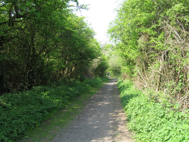
Barrow Hill is a prominent landmark located in Staffordshire, England. Standing at an elevation of 235 meters above sea level, it is a prominent hill that offers breathtaking panoramic views of the surrounding countryside. Situated in the rural village of Barrow, the hill is a popular destination for hikers, nature enthusiasts, and photographers.
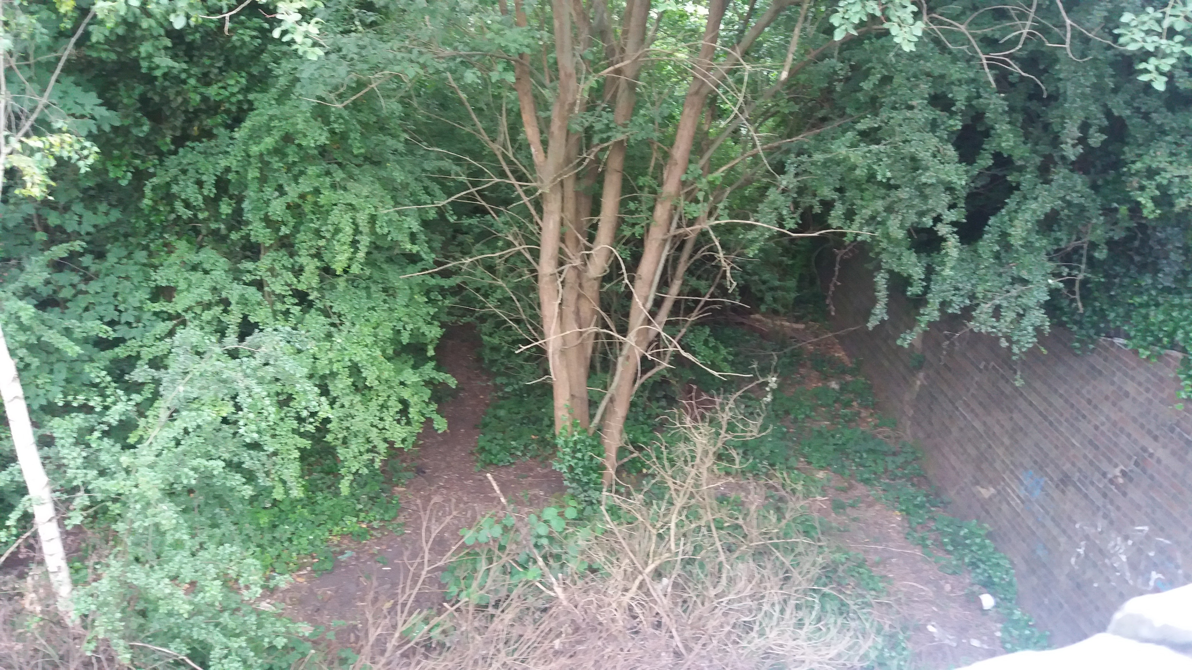
The hill itself is covered in lush green grass and is dotted with scattered trees, providing a picturesque setting for visitors to enjoy. At the top of Barrow Hill, there is a stone cairn, believed to be a Bronze Age burial mound, which adds to the historical significance of the site. The cairn has been excavated in the past, revealing artifacts that are now displayed in local museums.
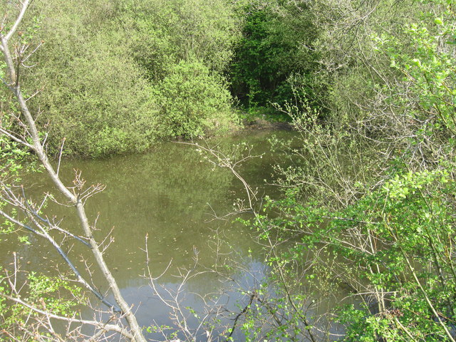
The hill is also home to a variety of wildlife, including various bird species, butterflies, and small mammals. It is a haven for nature lovers who enjoy observing and photographing the local flora and fauna.
Barrow Hill is easily accessible by foot or by car, with designated parking areas available nearby. There are well-maintained footpaths that lead up the hill, making it a manageable climb for visitors of all ages and fitness levels. It is recommended to bring appropriate footwear and to check weather conditions before embarking on the ascent.
Overall, Barrow Hill in Staffordshire is a captivating natural landmark that offers visitors a chance to immerse themselves in the beauty of the English countryside while enjoying panoramic views and exploring its rich historical and ecological significance.
If you have any feedback on the listing, please let us know in the comments section below.
Barrow Hill Images
Images are sourced within 2km of 52.504187/-2.1245464 or Grid Reference SO9189. Thanks to Geograph Open Source API. All images are credited.


Barrow Hill is located at Grid Ref: SO9189 (Lat: 52.504187, Lng: -2.1245464)
Unitary Authority: Dudley
Police Authority: West Midlands
What 3 Words
///drew.bleak.tells. Near Brierley Hill, West Midlands
Nearby Locations
Related Wikis

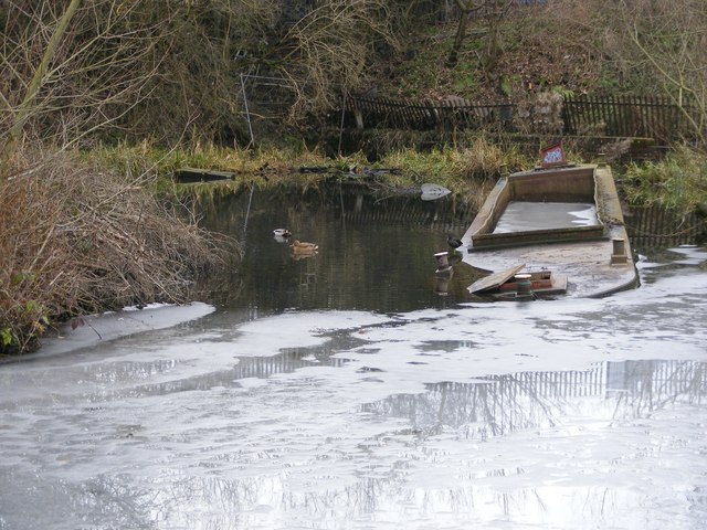
Barrow Hill Local Nature Reserve
Barrow Hill Local Nature Reserve is a local nature reserve situated in Pensnett in the county of West Midlands, England. Its most distinctive feature,...
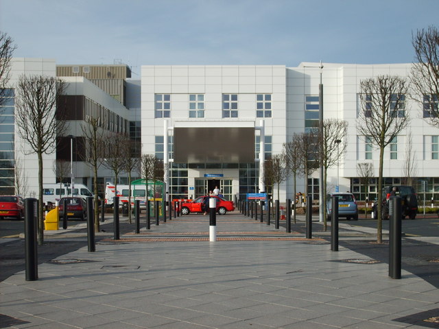
Russells Hall Hospital
Russells Hall Hospital is an NHS general hospital located in Dudley, West Midlands, England, managed by the Dudley Group NHS Foundation Trust. The hospital...

Bushey Fields Hospital
Bushey Fields Hospital is a psychiatric hospital located in Dudley, West Midlands, England managed by the Black Country Healthcare NHS Foundation Trust...
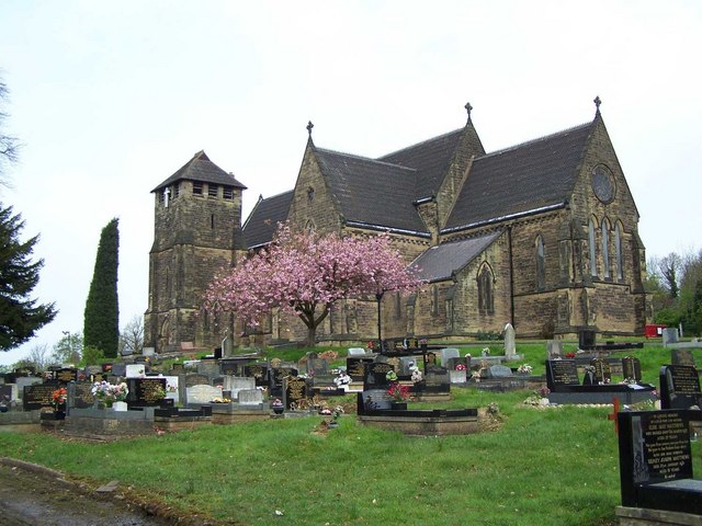
Pensnett
Pensnett is an area of the Metropolitan Borough of Dudley, West Midlands, England, 2.3 miles (3.7 km) south-west of central Dudley. Pensnett has been a...
Russells Hall Estate
The Russells Hall Estate is a residential area of Dudley, West Midlands, England, approximately one mile to the west of Dudley town centre. On Ordnance...
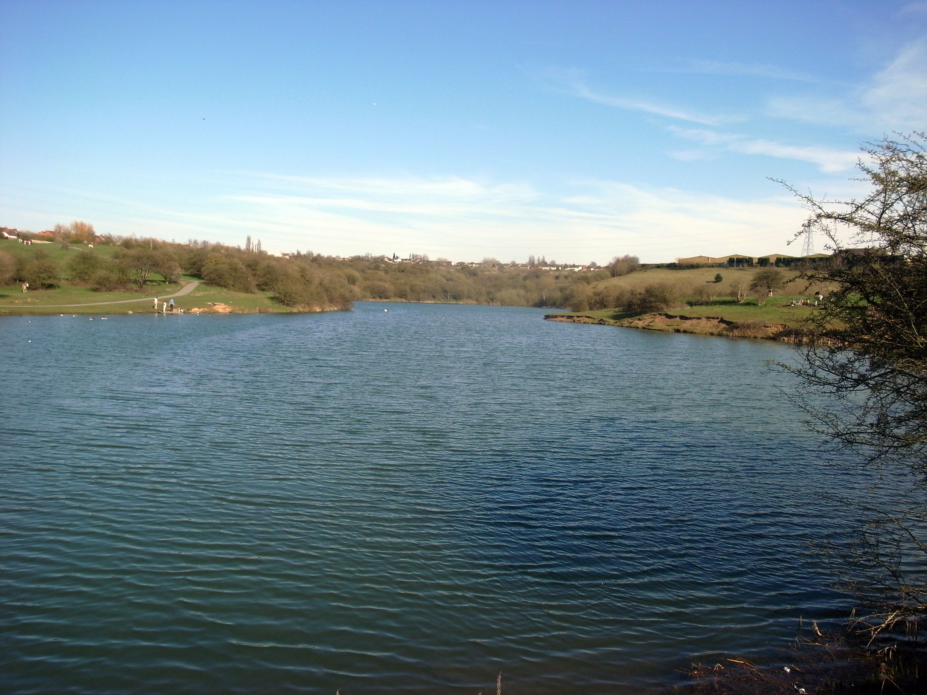
Fens Pools
Fens Pools (grid reference SO920886) is a 37.6 hectares (93 acres) biological site of Special Scientific Interest in the West Midlands. The site was notified...
Pegasus Academy
Pegasus Academy (formerly known as Holly Hall School and Holly Hall Maths and Computing College) is a mixed secondary school located in the Holly Hall...
Pensnett Halt railway station
Pensnett Halt was a small railway stop on the Wombourne Branch Line. It was opened by the Great Western Railway in 1925 and closed in 1932. The halt served...
Related Videos

Hiking Tracks In Dudley | Birmingham | UK 🇬🇧 Part 2 Saltwell local reserves
dudley #trails #hiking #winter2023 #oldest #train #statues #forest #walk #waterfall #saltwell #natural #nature #reserves #vlogs ...

Hike And Learn History | Best Hiking Point,Dudley |Trail in UK🇬🇧Saltwell National Nature Reserve
I just discovered this one of the best trail to hike in UK. Hope you guys will enjoy with me . Let's Bwgin ! #trails #uktrails #hiking ...

Merryhill Shopping Centre, Dudley Tour In 4K - August 2022
Let's take a full walking tour of Merry Hill Shopping Centre. Merry Hill is a large shopping complex in Brierley Hill near Dudley, ...

MERRYHILL SHOPPING CENTRE VIRTUAL WALK Part 1 | TOWN AND CITY WALKS
Virtual walk in Merryhill Shopping Centre, Brierley Hill, West Midlands Uk Please enjoy and remember to like ! share ! comment !
Nearby Amenities
Located within 500m of 52.504187,-2.1245464Have you been to Barrow Hill?
Leave your review of Barrow Hill below (or comments, questions and feedback).