Barrowhill Copse
Wood, Forest in Staffordshire
England
Barrowhill Copse
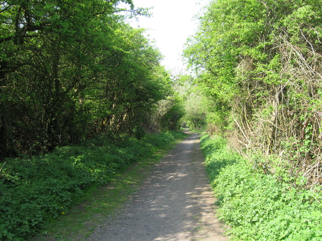
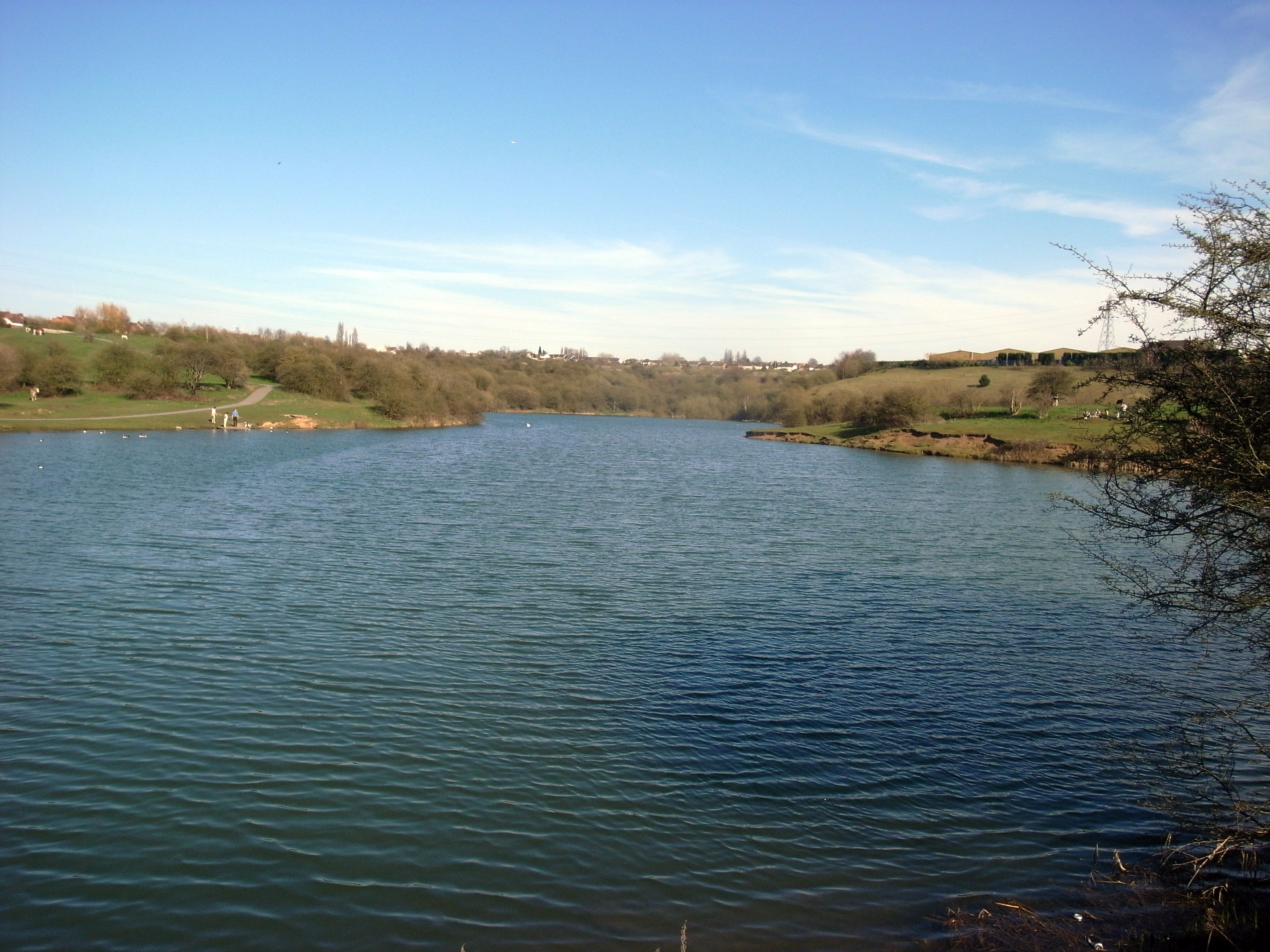
Barrowhill Copse, located in Staffordshire, is a picturesque woodland area that encompasses approximately 50 acres of land. It is a popular destination for nature enthusiasts and outdoor lovers due to its tranquil and serene ambiance.
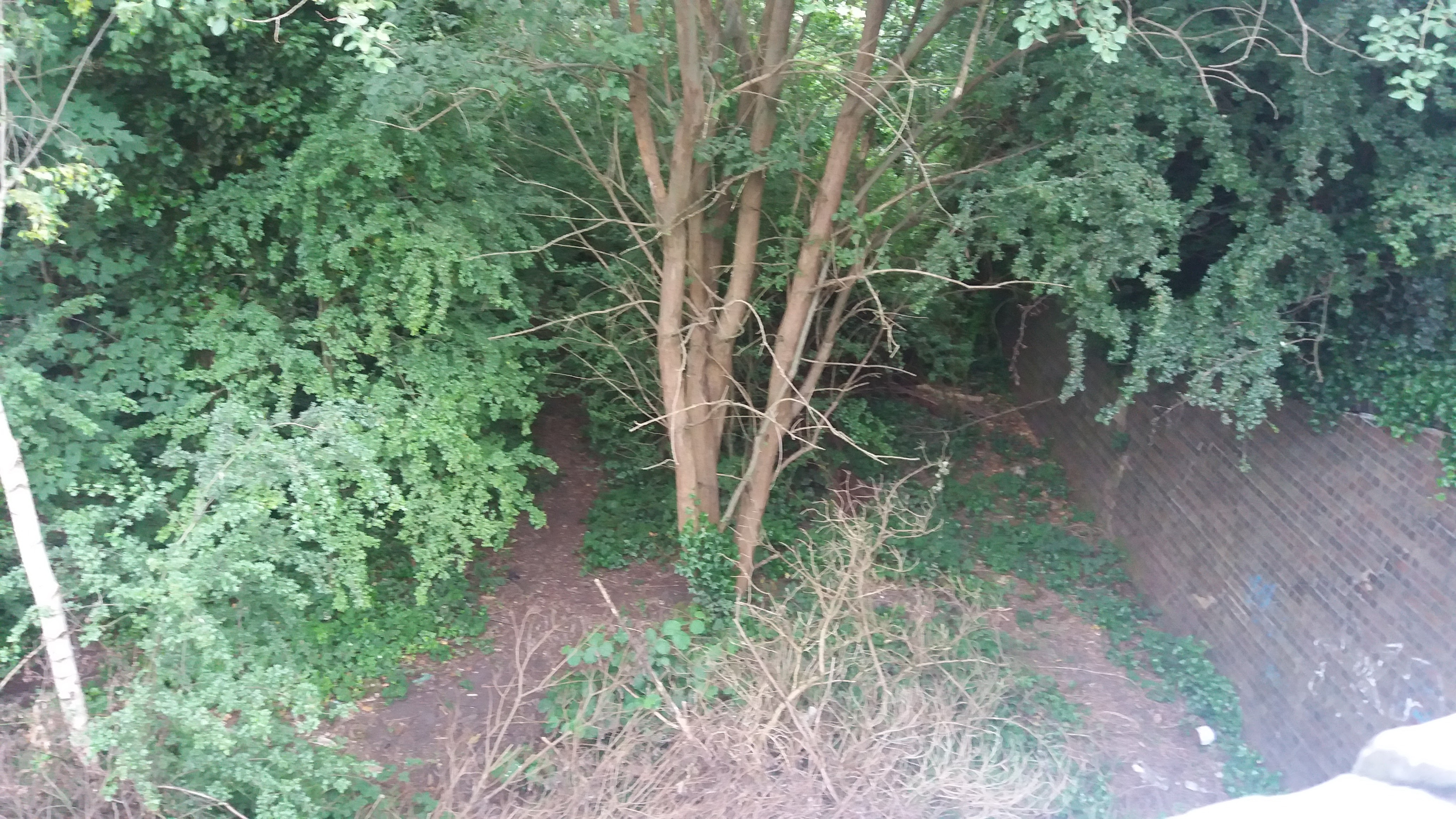
The copse is primarily composed of deciduous trees, including oak, beech, and birch, which provide a rich and diverse habitat for a variety of wildlife. The dense vegetation and tall trees create a cool and shaded environment, making it a perfect escape from the summer heat.
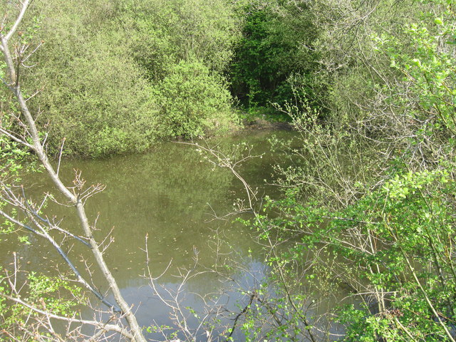
The forest floor is covered with a thick carpet of moss, ferns, and wildflowers, adding to the copse's natural beauty. It is not uncommon to spot a range of fauna, including squirrels, rabbits, and a myriad of bird species, making it an ideal spot for birdwatching.
Barrowhill Copse offers well-maintained footpaths that wind through the woodland, allowing visitors to explore the area at their own pace. These trails lead to a small pond, which serves as a watering hole for various animals and adds to the copse's charm. Additionally, there are several benches strategically placed throughout the copse, providing visitors with an opportunity to relax and immerse themselves in the tranquility of nature.
The copse is open to the public year-round, with no admission fees. It is a popular spot for families, walkers, and photographers alike, offering a peaceful retreat away from the hustle and bustle of city life. Whether you are seeking a leisurely stroll, a picnic, or simply a moment of solitude, Barrowhill Copse is a natural gem that promises to delight all who visit.
If you have any feedback on the listing, please let us know in the comments section below.
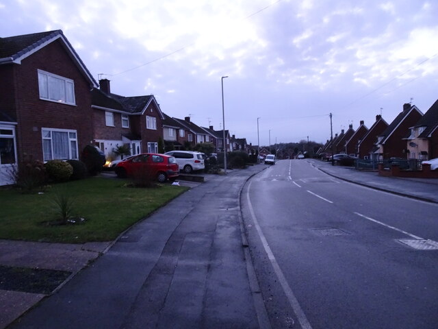
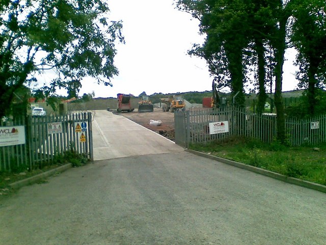
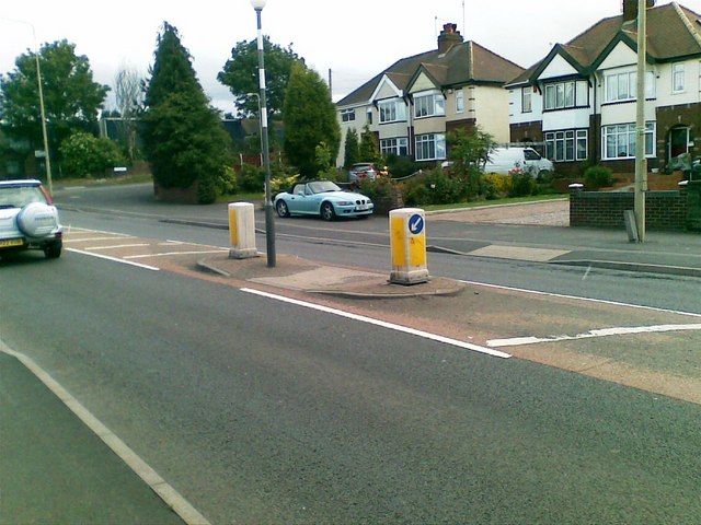
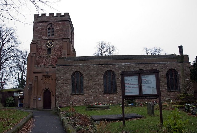
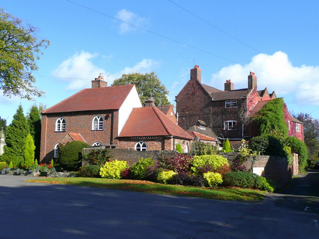
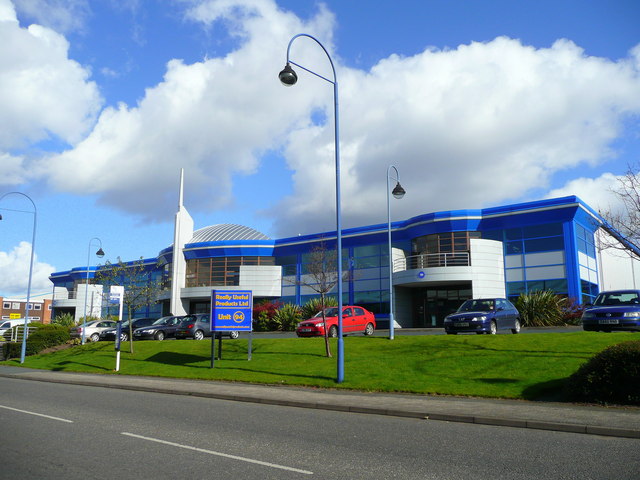
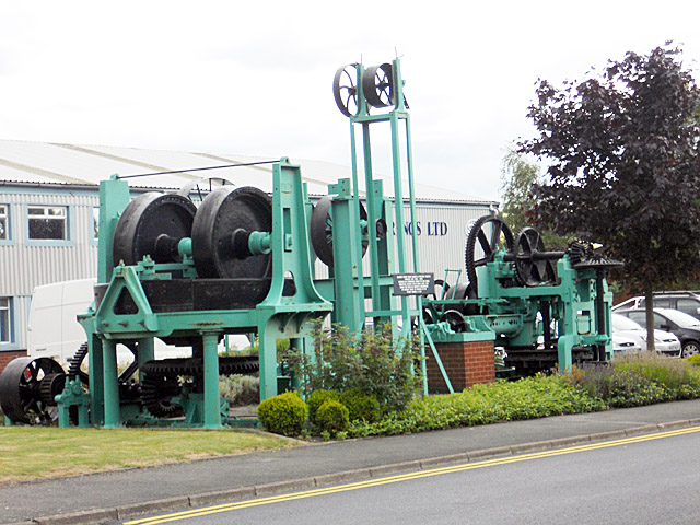
Barrowhill Copse Images
Images are sourced within 2km of 52.503563/-2.1284191 or Grid Reference SO9189. Thanks to Geograph Open Source API. All images are credited.


Barrowhill Copse is located at Grid Ref: SO9189 (Lat: 52.503563, Lng: -2.1284191)
Unitary Authority: Dudley
Police Authority: West Midlands
What 3 Words
///pinks.before.parade. Near Brierley Hill, West Midlands
Nearby Locations
Related Wikis

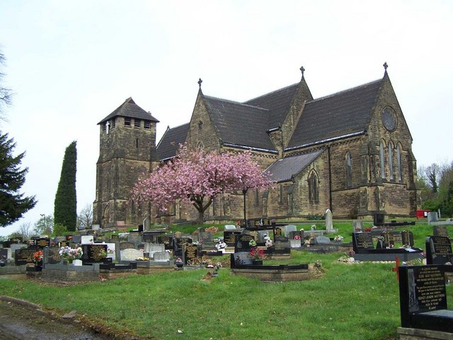
Barrow Hill Local Nature Reserve
Barrow Hill Local Nature Reserve is a local nature reserve situated in Pensnett in the county of West Midlands, England. Its most distinctive feature,...
Pensnett
Pensnett is an area of the Metropolitan Borough of Dudley, West Midlands, England, 2.3 miles (3.7 km) south-west of central Dudley. Pensnett has been a...
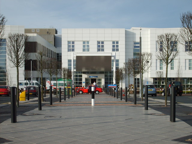
Russells Hall Hospital
Russells Hall Hospital is an NHS general hospital located in Dudley, West Midlands, England, managed by the Dudley Group NHS Foundation Trust. The hospital...

Bushey Fields Hospital
Bushey Fields Hospital is a psychiatric hospital located in Dudley, West Midlands, England managed by the Black Country Healthcare NHS Foundation Trust...
Pensnett Halt railway station
Pensnett Halt was a small railway stop on the Wombourne Branch Line. It was opened by the Great Western Railway in 1925 and closed in 1932. The halt served...
Fens Pools
Fens Pools (grid reference SO920886) is a 37.6 hectares (93 acres) biological site of Special Scientific Interest in the West Midlands. The site was notified...

Gornal Halt railway station
Gornal Halt was a small railway stop on the Wombourne Branch Line. It was opened by the Great Western Railway in 1925 and closed in 1932. The halt served...
Pensnett High School
Pensnett High School was a secondary school located in the Pensnett area of the Dudley Metropolitan Borough, in the West Midlands of England. There were...
Nearby Amenities
Located within 500m of 52.503563,-2.1284191Have you been to Barrowhill Copse?
Leave your review of Barrowhill Copse below (or comments, questions and feedback).