High Bent
Hill, Mountain in Staffordshire Staffordshire Moorlands
England
High Bent

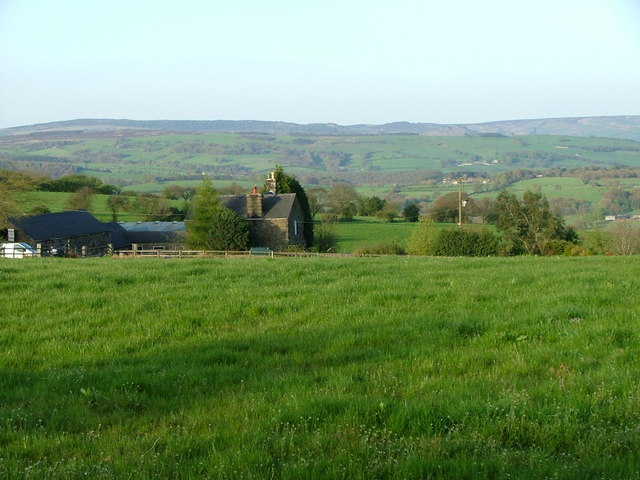
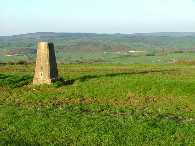
High Bent is a small hill located in the county of Staffordshire, England. Situated within the district of Staffordshire Moorlands, it is part of the Peak District National Park. The hill is approximately 445 meters (1,460 feet) above sea level, offering visitors and locals breathtaking panoramic views of the surrounding countryside.
High Bent is known for its distinctive conical shape, which is a result of its formation during the last ice age. Composed primarily of gritstone, the hill features steep slopes and rugged terrain, making it a popular destination for hikers and outdoor enthusiasts. Several footpaths and trails traverse the hill, providing opportunities for exploration and adventure.
The area surrounding High Bent is rich in natural beauty and biodiversity. The hill is covered in lush grasslands, heather moorlands, and scattered woodlands, creating habitats for a wide variety of plant and animal species. Birdwatchers can spot numerous species, including the peregrine falcon and the red grouse, while flora enthusiasts will appreciate the vibrant display of wildflowers during the spring and summer months.
High Bent also holds historical significance, with evidence of human activity dating back thousands of years. Archaeological finds, such as prehistoric flint tools and burial mounds, have been discovered in the vicinity, highlighting its importance as a settlement in ancient times.
Overall, High Bent offers a tranquil and picturesque escape for those seeking to immerse themselves in the natural beauty and rich history of Staffordshire Moorlands.
If you have any feedback on the listing, please let us know in the comments section below.
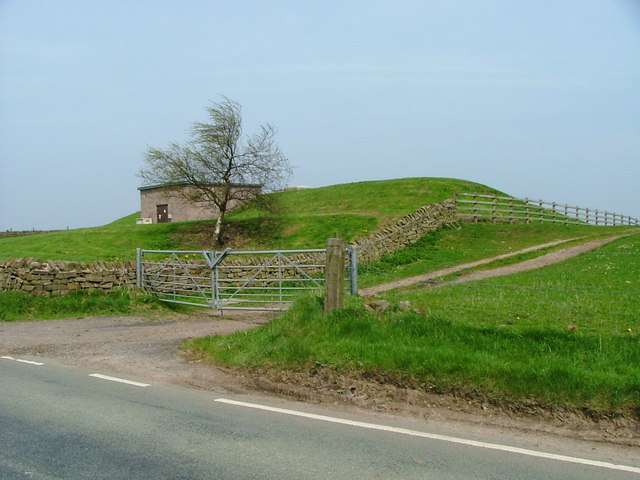
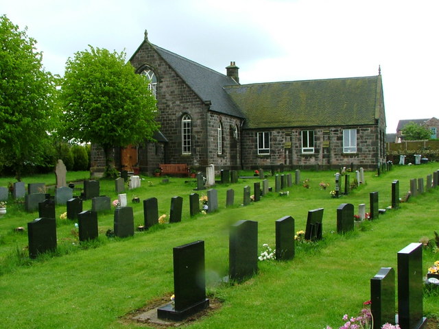
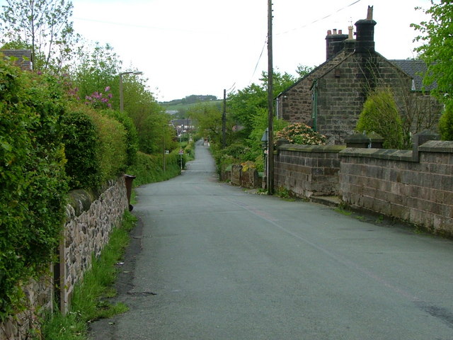
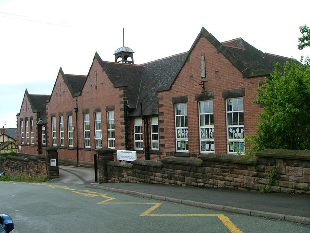
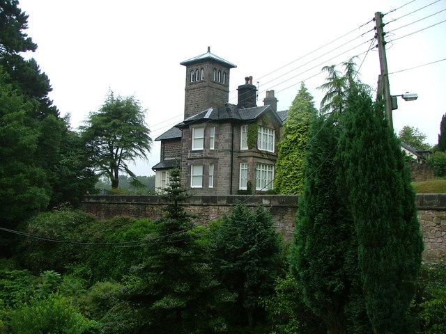
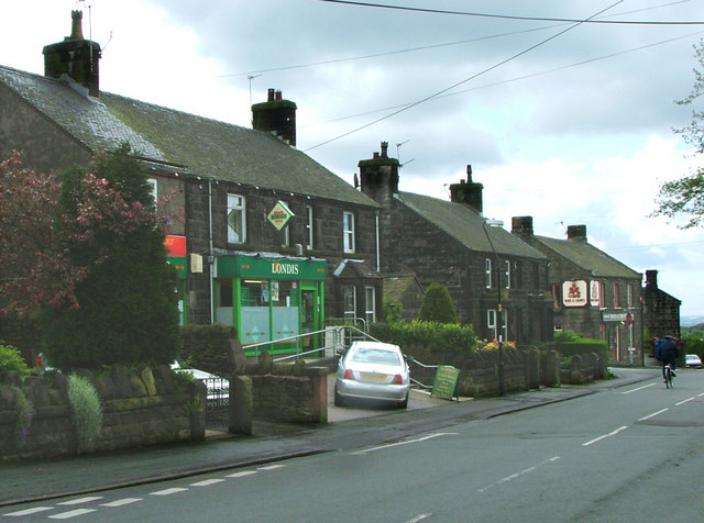
High Bent Images
Images are sourced within 2km of 53.130964/-2.1276103 or Grid Reference SJ9159. Thanks to Geograph Open Source API. All images are credited.


High Bent is located at Grid Ref: SJ9159 (Lat: 53.130964, Lng: -2.1276103)
Administrative County: Staffordshire
District: Staffordshire Moorlands
Police Authority: Staffordshire
What 3 Words
///matter.gladiator.bugs. Near Biddulph, Staffordshire
Nearby Locations
Related Wikis
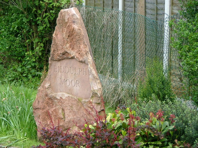
Biddulph Moor
Biddulph Moor is a village located on the hill which bears the same name. It is in Biddulph parish and is a part of the Staffordshire Moorlands district...

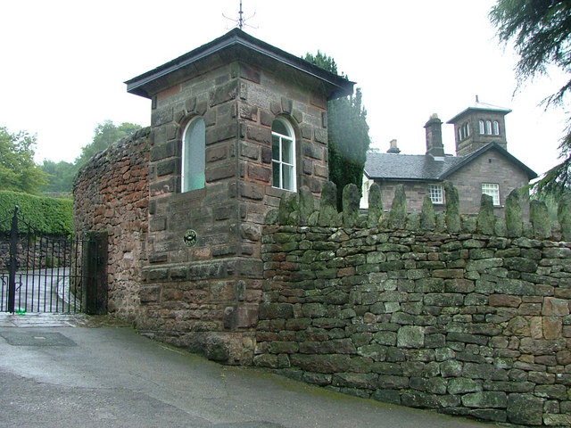
Biddulph Grange Country Park
Biddulph Grange Country Park is a country park in Biddulph, UK. It was originally part of Biddulph Grange. == Contents == The 73 acres (0.30 km2) park...

Biddulph Grange
Biddulph Grange is a National Trust landscaped garden, in Biddulph near Stoke-on-Trent, Staffordshire, England. It is separate from Biddulph Grange Country...
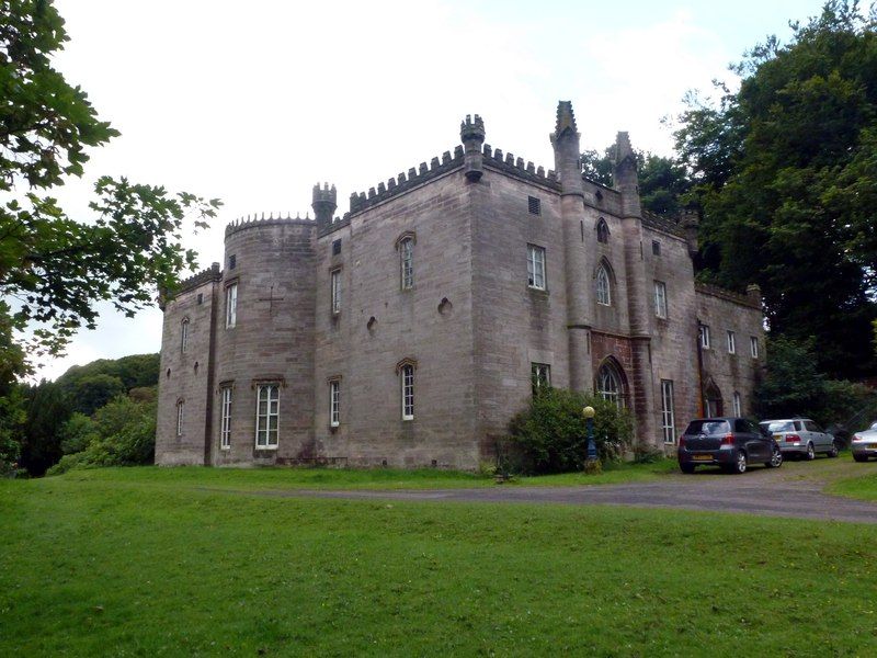
Cliffe Park Hall
Cliffe Park Hall is a country house near Rudyard in Staffordshire, England. During its 200-year history, it has been a private residence, a golf club...
Nearby Amenities
Located within 500m of 53.130964,-2.1276103Have you been to High Bent?
Leave your review of High Bent below (or comments, questions and feedback).