Alemill Hill
Hill, Mountain in Berwickshire
Scotland
Alemill Hill

Alemill Hill is a prominent hill located in the region of Berwickshire, Scotland. Rising to an elevation of approximately 276 meters (906 feet), it is a notable landmark in the area. The hill is situated near the village of Ayton, just a few miles northeast of the town of Eyemouth.
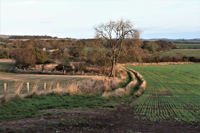
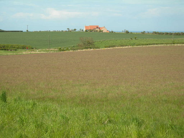
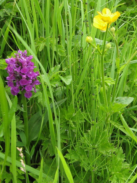
Alemill Hill offers stunning panoramic views of the surrounding countryside, including the nearby North Sea coast. Its position provides visitors with an excellent vantage point to appreciate the natural beauty of the area. The hill is covered in lush green vegetation, comprising a mix of grasses, heather, and other native plants, which add to its scenic allure.
The summit of Alemill Hill is relatively flat, making it an ideal spot for leisurely walks or hikes. The terrain is generally gentle and not overly challenging, making it accessible for people of varying fitness levels. The hill is a popular destination for outdoor enthusiasts, who can enjoy activities such as hillwalking, picnicking, and birdwatching.
Alemill Hill is also home to a diverse array of wildlife, including various bird species and smaller mammals. Nature enthusiasts can often spot birds of prey soaring above the hill, as well as rabbits and other small creatures scurrying through the undergrowth.
Overall, Alemill Hill offers a tranquil and picturesque setting for visitors to immerse themselves in the natural splendor of Berwickshire.
If you have any feedback on the listing, please let us know in the comments section below.
Alemill Hill Images
Images are sourced within 2km of 55.871007/-2.1390191 or Grid Reference NT9164. Thanks to Geograph Open Source API. All images are credited.


Alemill Hill is located at Grid Ref: NT9164 (Lat: 55.871007, Lng: -2.1390191)
Unitary Authority: The Scottish Borders
Police Authority: The Lothians and Scottish Borders
What 3 Words
///sprouts.converged.alternate. Near Eyemouth, Scottish Borders
Nearby Locations
Related Wikis
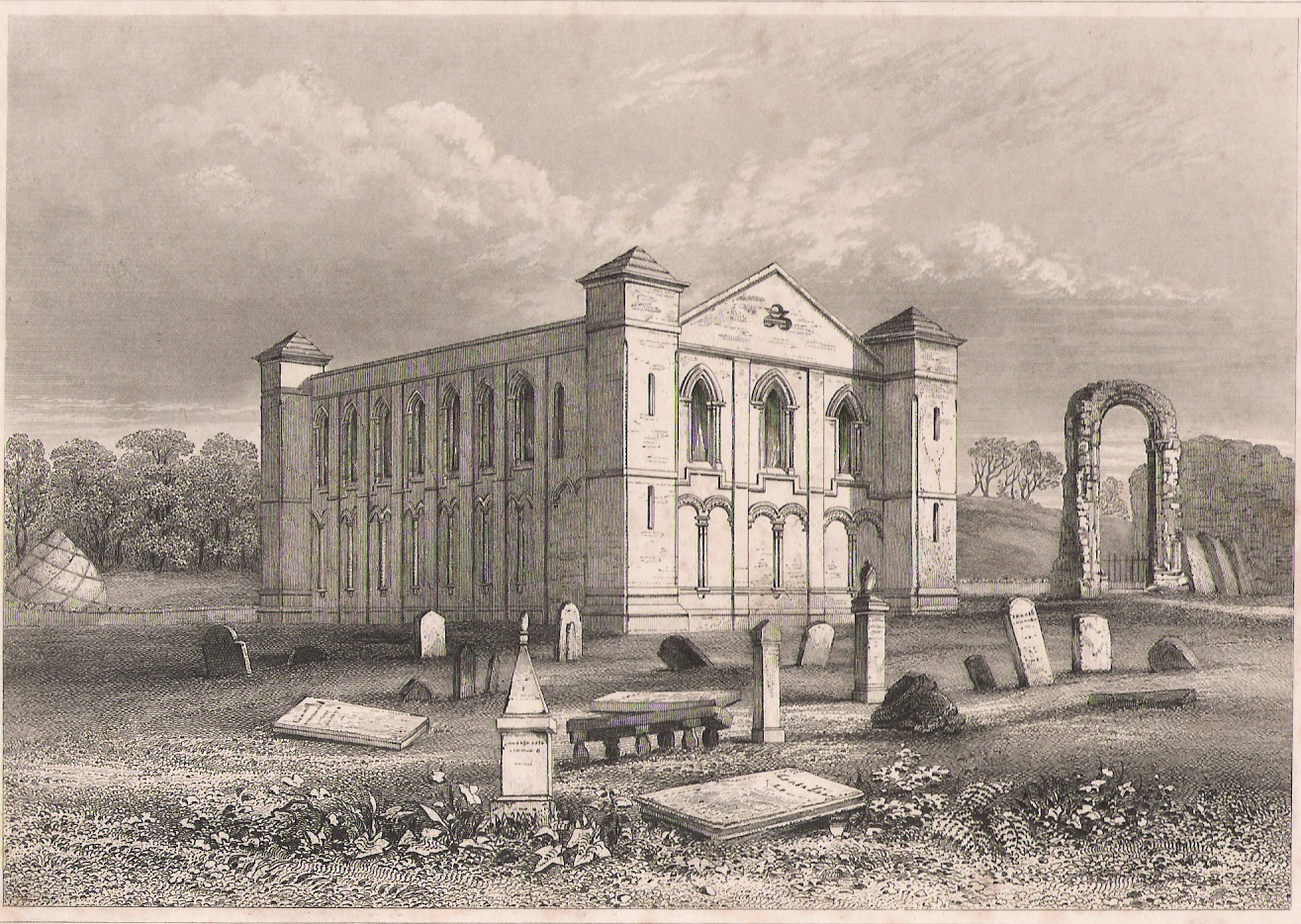
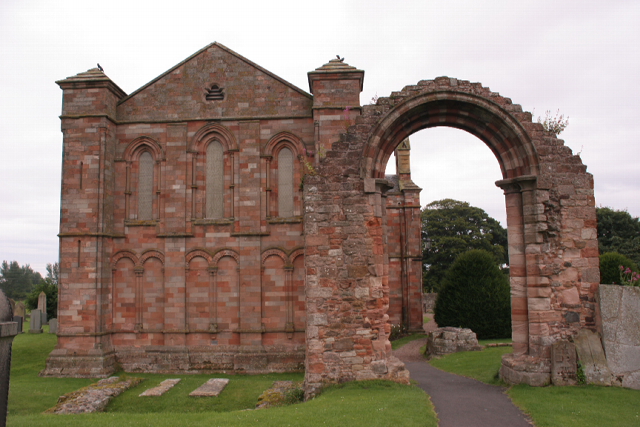
Coldingham Priory
Coldingham Priory was a house of Benedictine monks. It lies on the south-east coast of Scotland, in the village of Coldingham, Berwickshire. Coldingham...
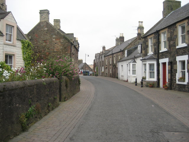
Coldingham
Coldingham (Scots: Cowjum) is a village and parish in Scottish Borders, on Scotland's southeast coastline, north of Eyemouth. == Parish == The parish lies...
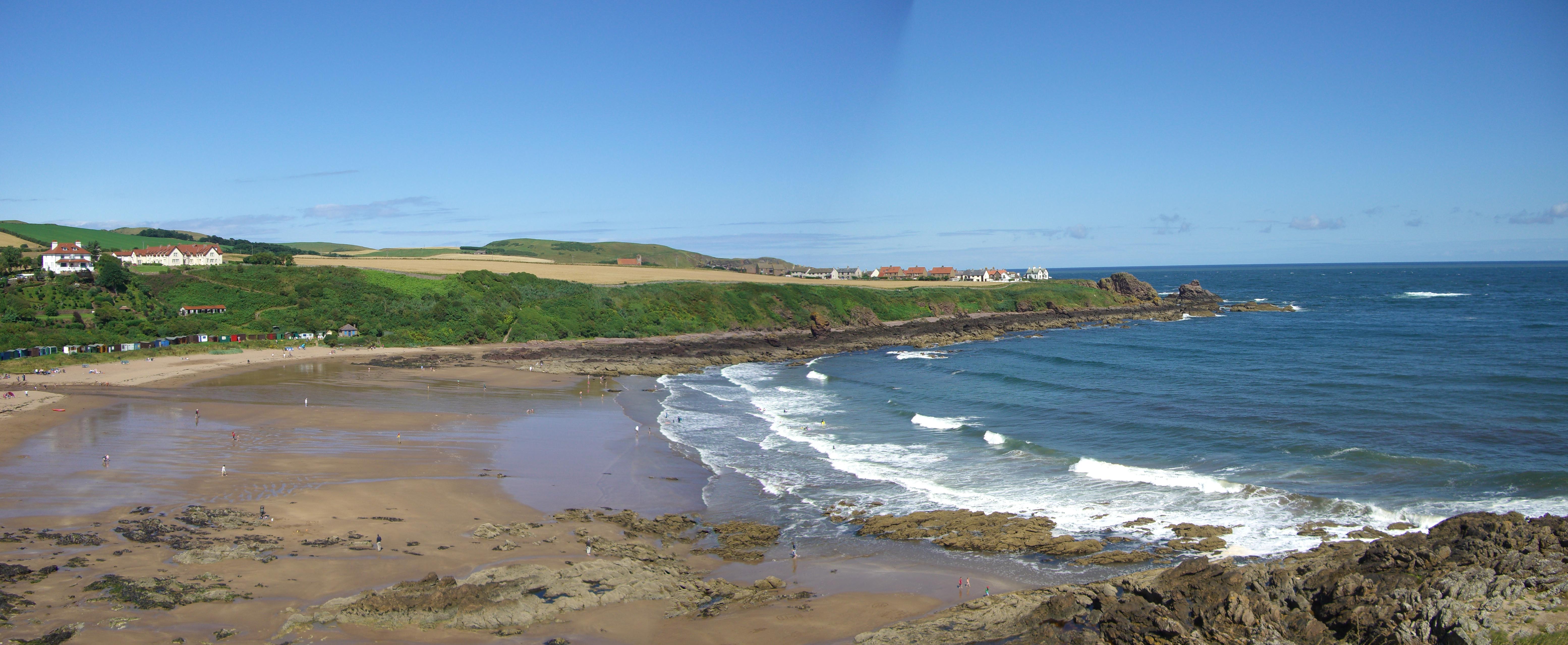
Coldingham Bay
Coldingham Bay is an inlet in the North Sea coast, just over three kilometres north of the town of Eyemouth in the Scottish Borders area of Scotland. It...

Eyemouth
Eyemouth is a small town and civil parish in Berwickshire, in the Scottish Borders area of Scotland. It is two miles (three kilometres) east of the main...
Nearby Amenities
Located within 500m of 55.871007,-2.1390191Have you been to Alemill Hill?
Leave your review of Alemill Hill below (or comments, questions and feedback).