Badgers' Hill
Hill, Mountain in Aberdeenshire
Scotland
Badgers' Hill

Badgers' Hill is a prominent hill located in Aberdeenshire, Scotland. Situated in the eastern part of the county, near the village of Rhynie, it is part of the Grampian Mountains range. The hill stands at an impressive height of approximately 537 meters (1,762 feet) above sea level, making it one of the notable peaks in the region.
The name "Badgers' Hill" is derived from the presence of badger setts, which can be found on the slopes of the hill. These setts, or underground burrows, provide a habitat for the local badger population.
The hill itself offers breathtaking panoramic views of the surrounding countryside, with its rolling green fields and picturesque landscapes. On a clear day, visitors can enjoy views extending as far as the Cairngorms National Park to the west and the North Sea to the east.
Badgers' Hill is a popular destination for outdoor enthusiasts and hikers, who are drawn to its diverse and challenging trails. The hill's rugged terrain and steep slopes provide a thrilling experience for those seeking adventure or a physical challenge.
Furthermore, Badgers' Hill is also renowned for its rich biodiversity. The area is home to a variety of flora and fauna, including heather, wildflowers, and various bird species. Nature lovers can often spot wildlife such as red deer, foxes, and rabbits while exploring the hill.
Overall, Badgers' Hill in Aberdeenshire offers visitors a combination of natural beauty, wildlife, and outdoor activities, making it an attractive destination for both locals and tourists alike.
If you have any feedback on the listing, please let us know in the comments section below.
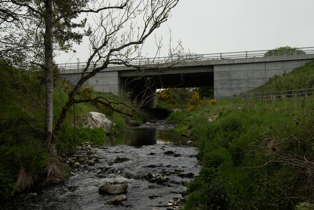
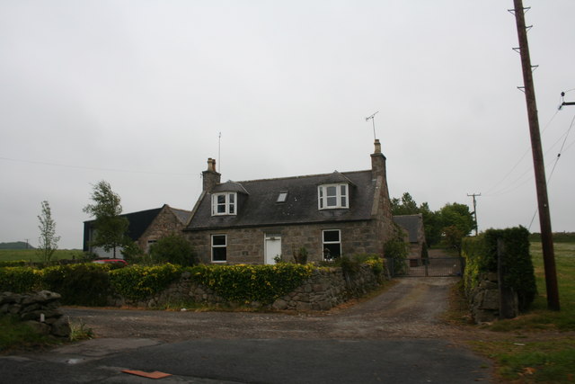
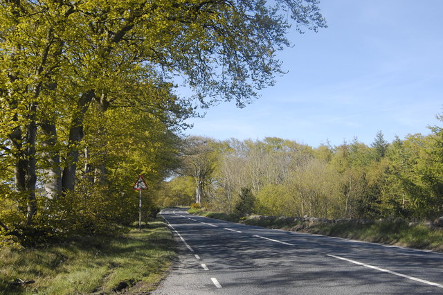
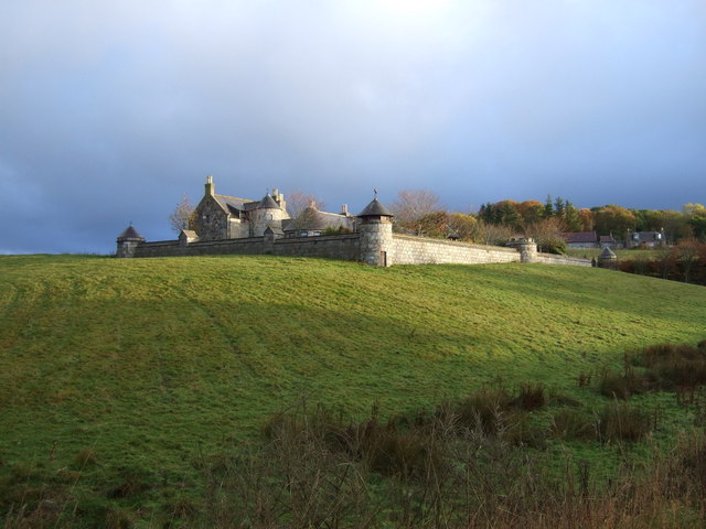
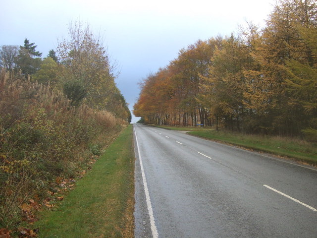
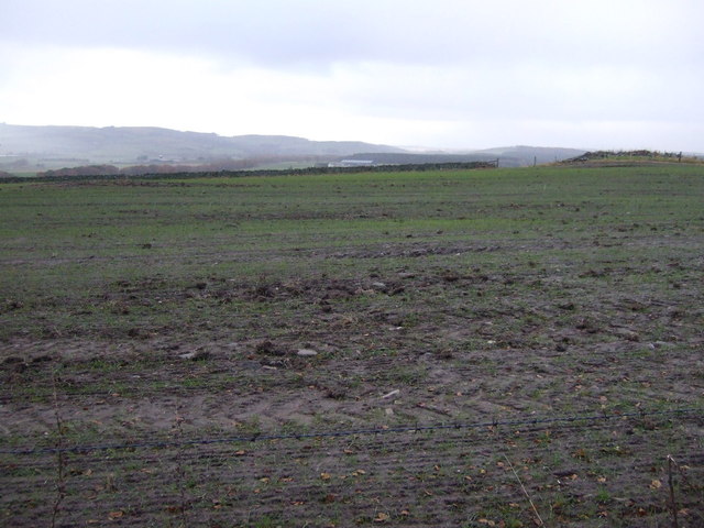
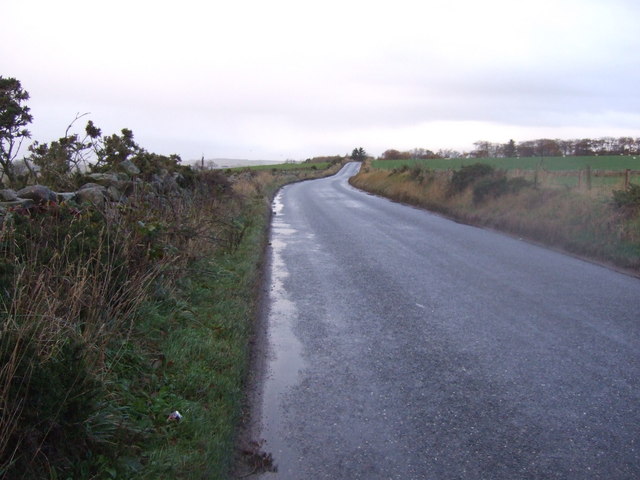
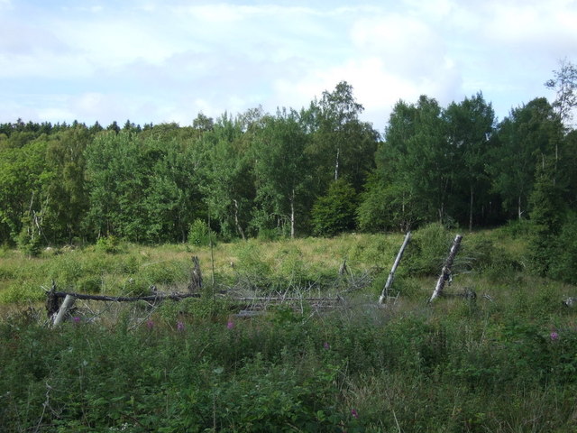
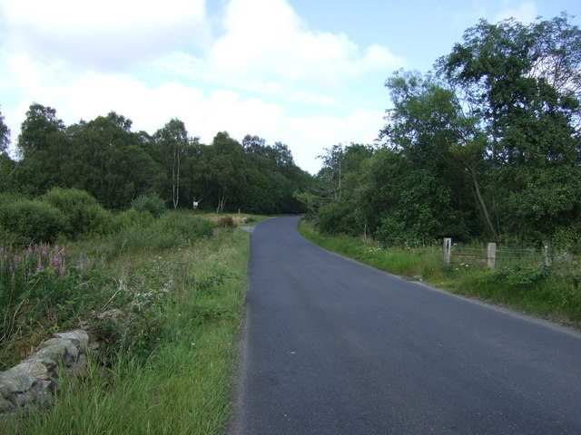
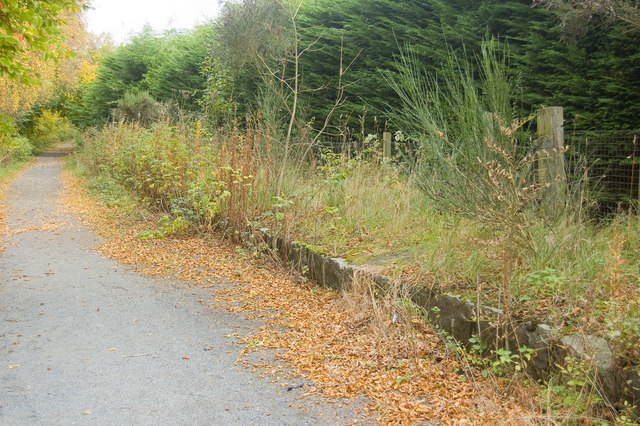
Badgers' Hill Images
Images are sourced within 2km of 57.216833/-2.1525102 or Grid Reference NJ9014. Thanks to Geograph Open Source API. All images are credited.


Badgers' Hill is located at Grid Ref: NJ9014 (Lat: 57.216833, Lng: -2.1525102)
Unitary Authority: Aberdeenshire
Police Authority: North East
What 3 Words
///tweaked.hardening.applies. Near Dyce, Aberdeen
Nearby Locations
Related Wikis
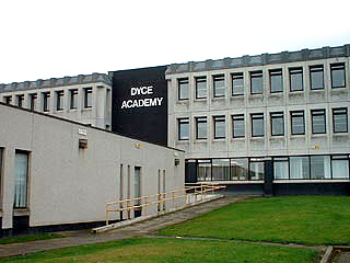
Dyce Academy
Dyce Academy is the only state secondary school in Dyce, a small suburb of Aberdeen, serving as the sole provider of secondary education in the area. Dyce...
Parkhill railway station
Parkhill railway station was a railway station in Parkhill, Aberdeenshire. == History == The station was opened on 18 July 1861 by the Formartine and Buchan...

Dyce F.C.
Dyce Football Club (formerly Dyce Juniors Football Club) are a Scottish football club from Dyce, a suburb of Aberdeen. Members of the Scottish Junior...
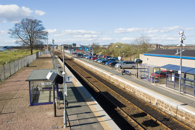
Dyce railway station
Dyce railway station is a railway station serving the suburb of Dyce, Aberdeen, Scotland. The station is managed by ScotRail and is on the Aberdeen to...
Nearby Amenities
Located within 500m of 57.216833,-2.1525102Have you been to Badgers' Hill?
Leave your review of Badgers' Hill below (or comments, questions and feedback).