Raven Nest Hill
Hill, Mountain in Lancashire
England
Raven Nest Hill
Raven Nest Hill is a prominent hill located in the county of Lancashire, England. Standing at an elevation of approximately 335 meters (1,099 feet), it is considered one of the highest points in the region. The hill's distinct name is derived from its association with ravens, which are often seen circling and nesting in the area.
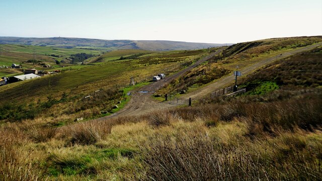
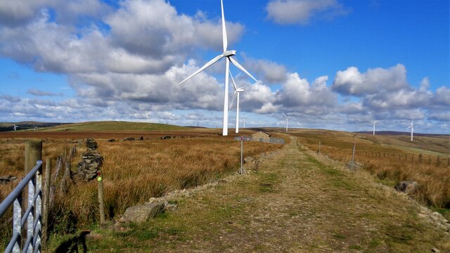
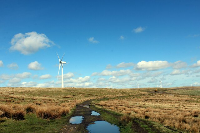
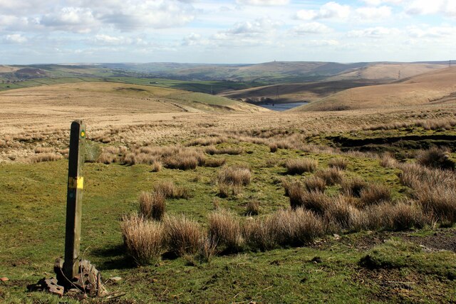
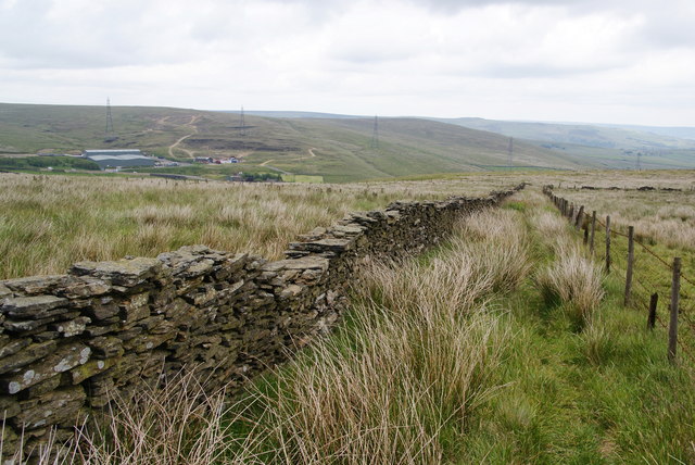
Situated in the southern part of the county, Raven Nest Hill offers breathtaking panoramic views of the surrounding countryside. Its location on the edge of the Bowland Fells makes it a popular spot for hikers and nature enthusiasts, who are drawn to its natural beauty and tranquil surroundings.
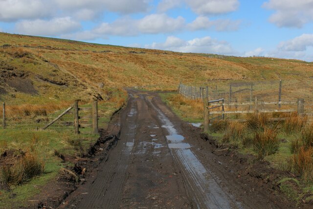
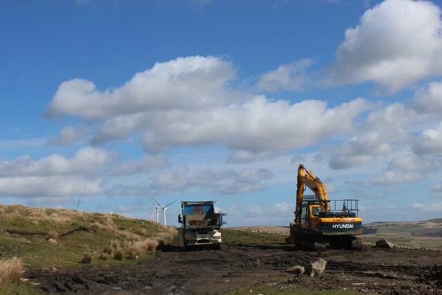
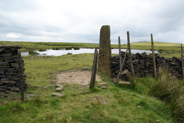
The terrain of Raven Nest Hill is primarily rugged and rocky, with patches of heather and grass covering its slopes. The hill is part of the Forest of Bowland Area of Outstanding Natural Beauty, which ensures its preservation and protection.
At the summit of Raven Nest Hill, a trig point marks the highest point, providing a reference point for surveyors and visitors alike. The hill is accessible via various footpaths and trails, allowing visitors to explore its diverse flora and fauna, including species such as curlews and red grouses.
Raven Nest Hill holds historical significance as well, with remnants of ancient settlements and burial mounds dating back to the Bronze Age. These archaeological features add to the hill's allure and attract those interested in uncovering Lancashire's rich past.
Overall, Raven Nest Hill is a captivating destination for those seeking outdoor adventures, natural beauty, and a glimpse into Lancashire's intriguing history.
If you have any feedback on the listing, please let us know in the comments section below.
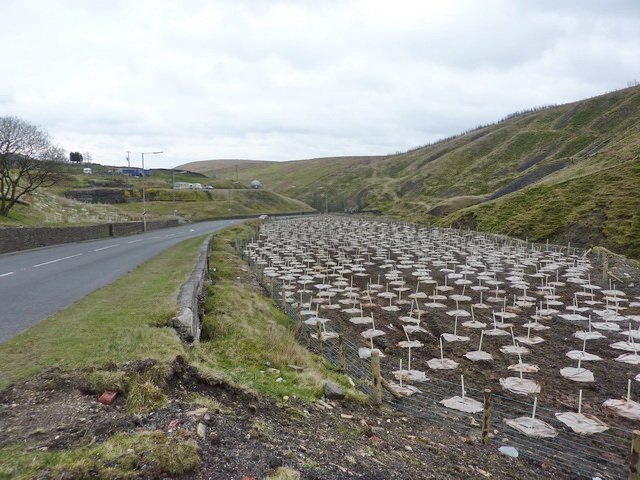
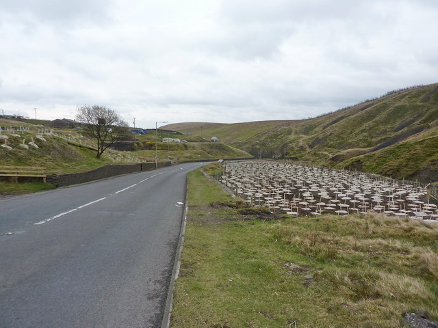
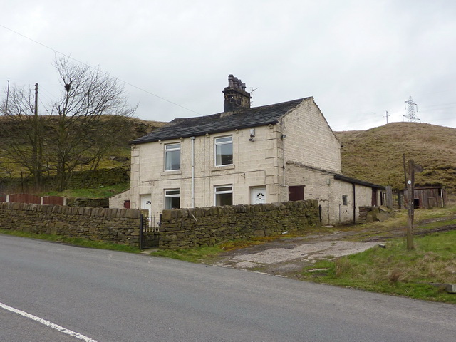
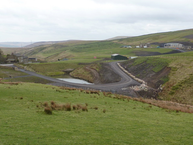
Raven Nest Hill Images
Images are sourced within 2km of 53.701364/-2.139648 or Grid Reference SD9022. Thanks to Geograph Open Source API. All images are credited.


Raven Nest Hill is located at Grid Ref: SD9022 (Lat: 53.701364, Lng: -2.139648)
Unitary Authority: Calderdale
Police Authority: West Yorkshire
What 3 Words
///goodness.pythons.together. Near Walsden, West Yorkshire
Nearby Locations
Related Wikis

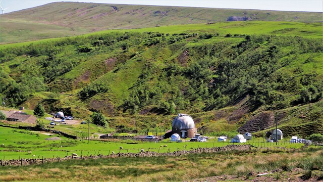
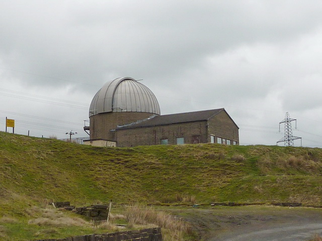
Astronomy Centre
The Astronomy Centre, also known as the Amateur Astronomy Centre, is an astronomical observatory located in northern England which is run by experienced...

Dobroyd Castle
Dobroyd Castle is an important historic building above the town of Todmorden, West Yorkshire, England. It was built for John Fielden, local mill owner...

Walsden railway station
Walsden railway station (; WOLZ-dən) serves the village of Walsden, Todmorden in West Yorkshire, England, on the edge of the Pennines. It is served by...

Britannia, Lancashire
Britannia is a suburb of Bacup in the Rossendale borough of Lancashire, England. It lies on the course of two major roads and has a school and a nature...

Shawforth
Shawforth ( SHAW-fərth) is a ward in the township of Whitworth within the Rossendale borough of Lancashire, England. It lies amongst the South Pennines...

Walsden
Walsden (; WOLZ-dən) is a large village in the civil parish of Todmorden in the Metropolitan Borough of Calderdale, West Yorkshire, England. It was historically...

Todmorden War Memorial
Todmorden War Memorial is a war memorial located in Todmorden, West Yorkshire, England.The memorial is in the garden of remembrance in Centre Vale Park...

Shawforth railway station
Shawforth railway station served Shawforth near Bacup, Rossendale, Lancashire, England, from 1881 until closure in 1947. == References == Suggitt, Gordon...
Nearby Amenities
Located within 500m of 53.701364,-2.139648Have you been to Raven Nest Hill?
Leave your review of Raven Nest Hill below (or comments, questions and feedback).