Town Hill
Hill, Mountain in Yorkshire Craven
England
Town Hill
Town Hill is a prominent geographical feature located in the county of Yorkshire, England. It stands tall at an elevation of approximately 400 meters (1,312 feet), making it one of the highest points in the region. Situated within the picturesque landscape of the Yorkshire Dales, this hill/mountain offers breathtaking panoramic views that attract tourists and outdoor enthusiasts alike.
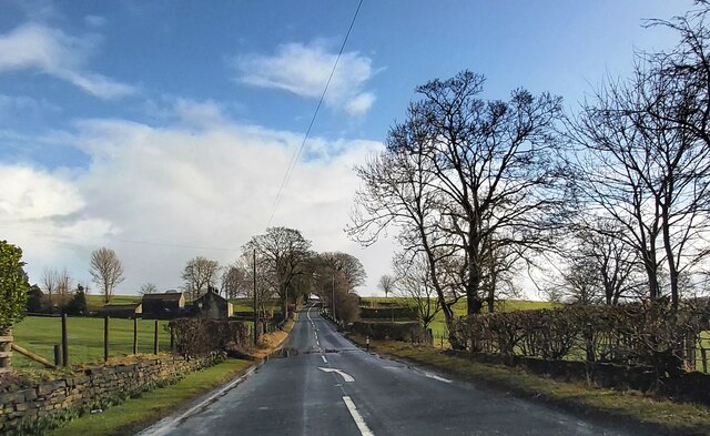
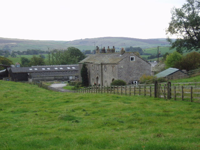
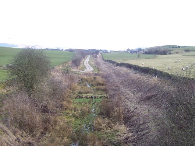
The summit of Town Hill offers commanding vistas of the surrounding countryside, with rolling hills, verdant valleys, and quaint villages dotting the landscape. On clear days, visitors can even catch a glimpse of the distant Pennine Mountains. The hill is covered in lush grass and scattered with rocky outcrops, providing an ideal setting for hiking, walking, and nature exploration.
Access to Town Hill is relatively easy, with well-marked footpaths and trails leading to the summit. The area is known for its diverse flora and fauna, with various species of birds, butterflies, and wildflowers found throughout the hillside. The vibrant colors of heather and gorse in bloom add to the scenic beauty of the surroundings, especially during the summer months.
Apart from its natural splendor, Town Hill also holds historical significance. The remains of an ancient hill fort, dating back to the Iron Age, can still be observed, offering a glimpse into the area's rich past. Archaeological excavations have uncovered artifacts and evidence of human habitation, adding to the hill's cultural value.
Overall, Town Hill in Yorkshire offers a captivating blend of natural beauty, recreational opportunities, and historical significance. Whether it's for a leisurely walk, a challenging hike, or simply to soak in the stunning views, this hill/mountain provides a memorable experience for visitors of all ages.
If you have any feedback on the listing, please let us know in the comments section below.
Town Hill Images
Images are sourced within 2km of 53.940423/-2.140538 or Grid Reference SD9049. Thanks to Geograph Open Source API. All images are credited.


Town Hill is located at Grid Ref: SD9049 (Lat: 53.940423, Lng: -2.140538)
Division: West Riding
Administrative County: North Yorkshire
District: Craven
Police Authority: North Yorkshire
What 3 Words
///makes.reason.kiosk. Near Earby, Lancashire
Nearby Locations
Related Wikis

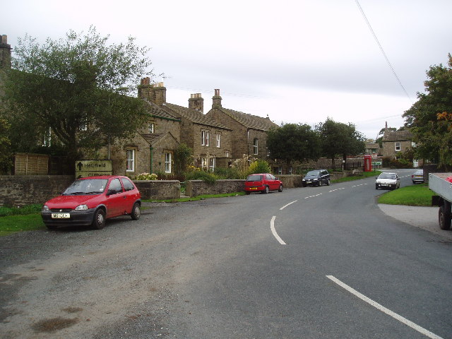
Thornton in Craven
Thornton-in-Craven is a village and civil parish in the Craven district of North Yorkshire, England. It is approx 1,740 feet (530 m) from the border with...
Thornton-in-Craven railway station
Thornton-in-Craven railway station was a railway station that served the small village of Thornton-in-Craven in North Yorkshire (formerly the West Riding...
East Marton
East Marton is a village in the Craven District of North Yorkshire, England. It is situated approximately 5 miles (8 km) west of the market town of Skipton...
Elslack
Elslack is a village and civil parish in the Craven district of North Yorkshire, England, close to the border with Lancashire and 4 miles west of Skipton...

Elslack railway station
Elslack railway station once served the small village of Elslack in North Yorkshire, England. The station was built by the Leeds and Bradford Extension...
West Marton
West Marton is a village in the Craven district of North Yorkshire, England. It is on the A59 road about 6.5 miles (10.5 km) west of the market town of...

Martons Both
Martons Both is a civil parish in the Craven district of North Yorkshire, England. The civil parish is formed by the villages of East Marton and West Marton...

Church of St Mary le Ghyll, Barnoldswick
The Church of St Mary le Ghyll (also known as St Mary-le-Gill) is in Ghyll Lane, Barnoldswick, Lancashire, England. It is an active Anglican parish church...
Nearby Amenities
Located within 500m of 53.940423,-2.140538Have you been to Town Hill?
Leave your review of Town Hill below (or comments, questions and feedback).