Barrow Hill
Hill, Mountain in Worcestershire Wyre Forest
England
Barrow Hill
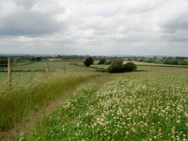
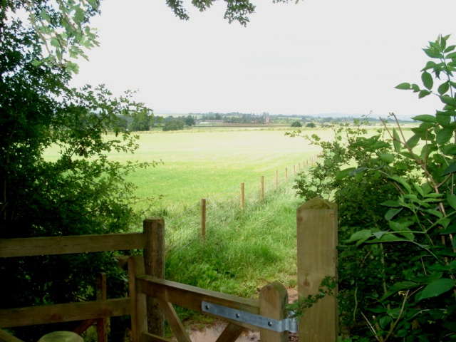
Barrow Hill, located in Worcestershire, England, is a prominent hill that stands at an elevation of approximately 290 meters above sea level. Situated near the village of Clent, Barrow Hill forms part of the picturesque Clent Hills range, which is renowned for its natural beauty and attracts numerous visitors each year.
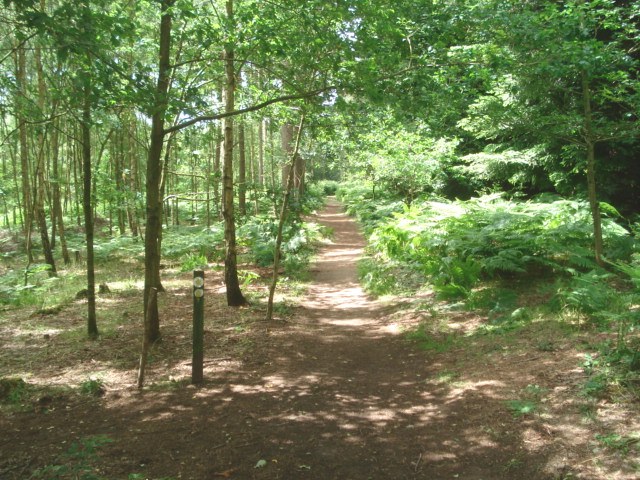
The hill itself is characterized by its distinctive rounded shape and lush greenery, offering breathtaking panoramic views of the surrounding countryside. Its slopes are covered in a mix of grasses, heather, and wildflowers, contributing to the area's rich biodiversity. The hill is also home to a variety of wildlife, including rabbits, foxes, and numerous bird species.
Barrow Hill is a popular destination for outdoor enthusiasts and nature lovers, offering a range of recreational activities. It boasts a network of well-maintained footpaths and trails, allowing visitors to explore the hill's scenic surroundings on foot or by bike. The hilltop is a particularly favored spot for picnicking, as well as for admiring the stunning sunsets that paint the sky in vibrant hues.
Additionally, Barrow Hill holds historical significance. It is believed to have been used as a burial site during ancient times, with several barrows discovered on its slopes, hence the name "Barrow Hill." These burial mounds provide insight into the area's past, giving it an added layer of intrigue.
Overall, Barrow Hill in Worcestershire offers a perfect blend of natural beauty, recreational opportunities, and historical interest, making it a cherished destination for locals and visitors alike.
If you have any feedback on the listing, please let us know in the comments section below.
Barrow Hill Images
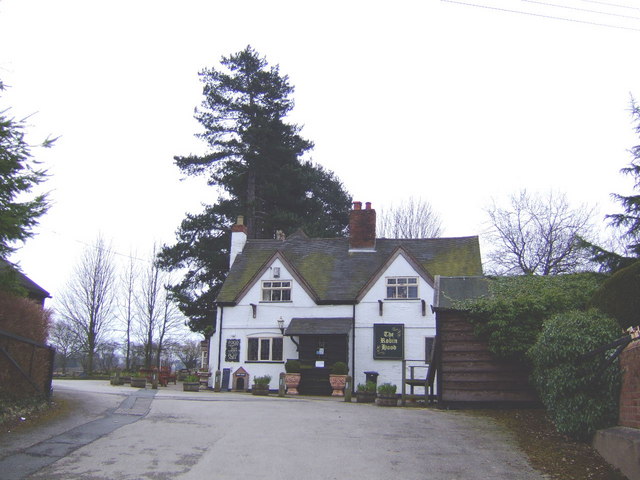
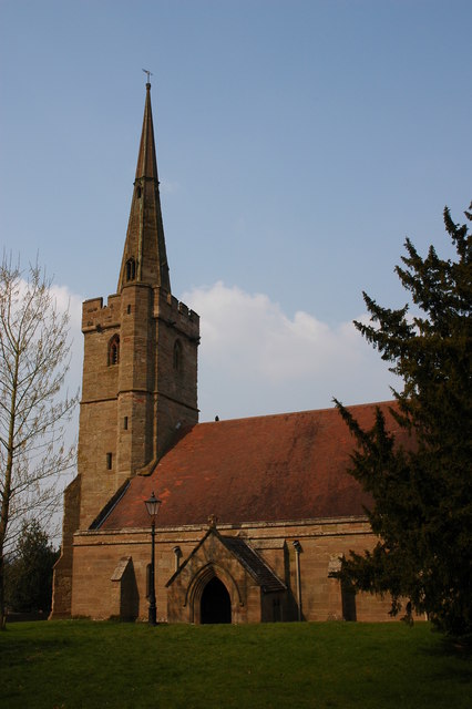
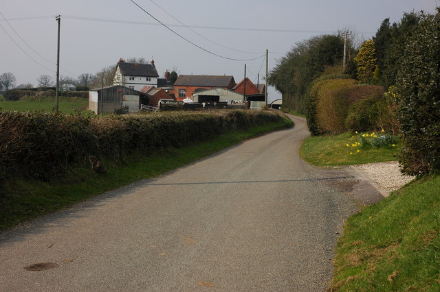
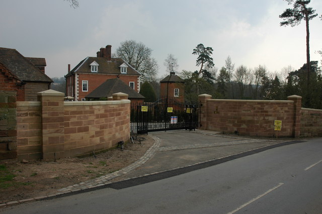
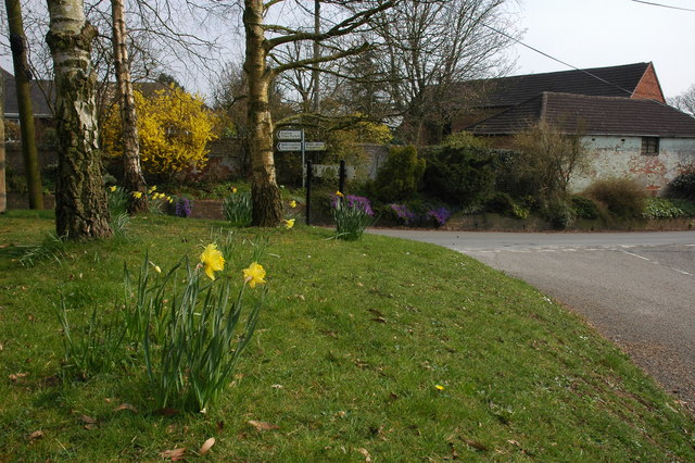
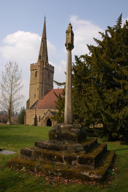
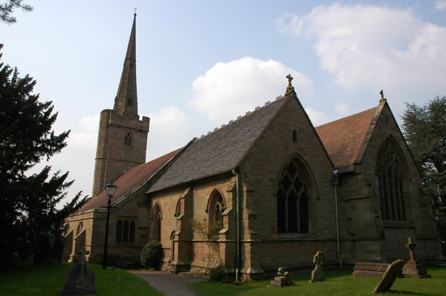
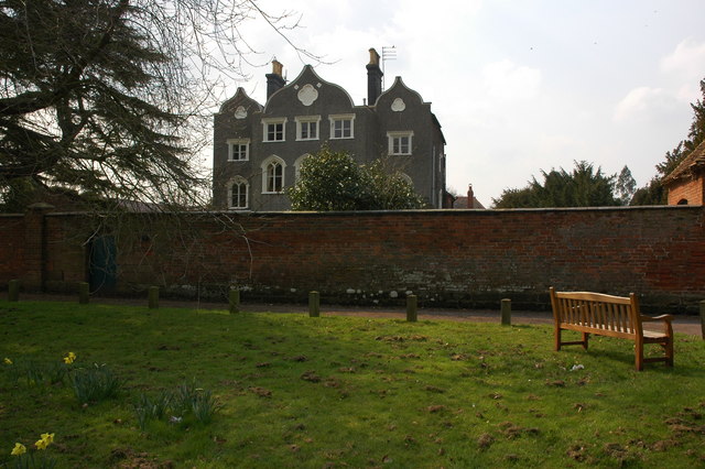
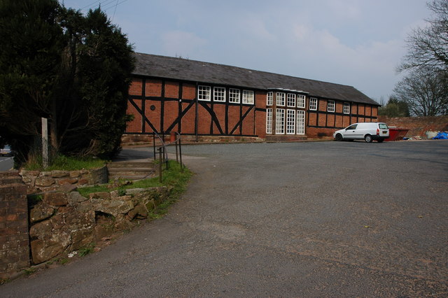
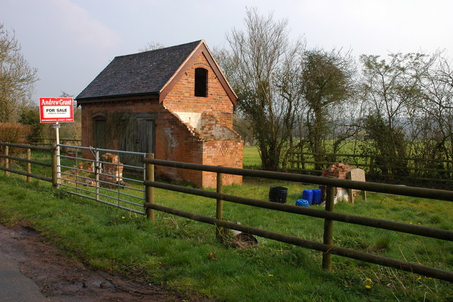
Images are sourced within 2km of 52.374314/-2.1355345 or Grid Reference SO9075. Thanks to Geograph Open Source API. All images are credited.

Barrow Hill is located at Grid Ref: SO9075 (Lat: 52.374314, Lng: -2.1355345)
Administrative County: Worcestershire
District: Wyre Forest
Police Authority: West Mercia
What 3 Words
///secrets.smart.warthog. Near Belbroughton, Worcestershire
Nearby Locations
Related Wikis

Tanwood
Tanwood is a hamlet in the English county of Worcestershire. It lies about one mile northeast of the village of Chaddesley Corbett and forms part of the...
Drayton, Worcestershire
Drayton is a hamlet in Worcestershire, England which remains part of the ecclesiastical parish of Chaddesley Corbett, which from its select vestry formed...

Chaddesley Woods National Nature Reserve
Chaddesley Woods National Nature Reserve is situated near the village of Chaddesley Corbett, in Worcestershire, England. It is a reserve of the Worcestershire...

Belbroughton
Belbroughton ( bel-BRAW-tən) is a village and civil parish in the Bromsgrove District of Worcestershire, England. According to the 2021 census it had...
Nearby Amenities
Located within 500m of 52.374314,-2.1355345Have you been to Barrow Hill?
Leave your review of Barrow Hill below (or comments, questions and feedback).