Black Hill
Hill, Mountain in Durham
England
Black Hill
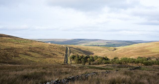
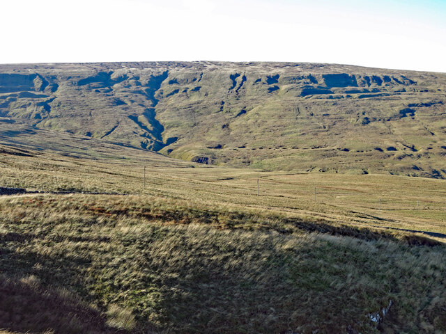
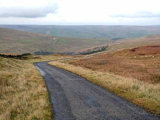
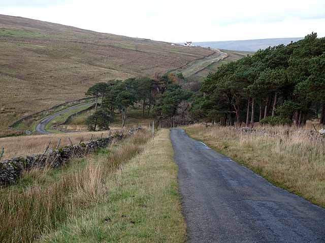
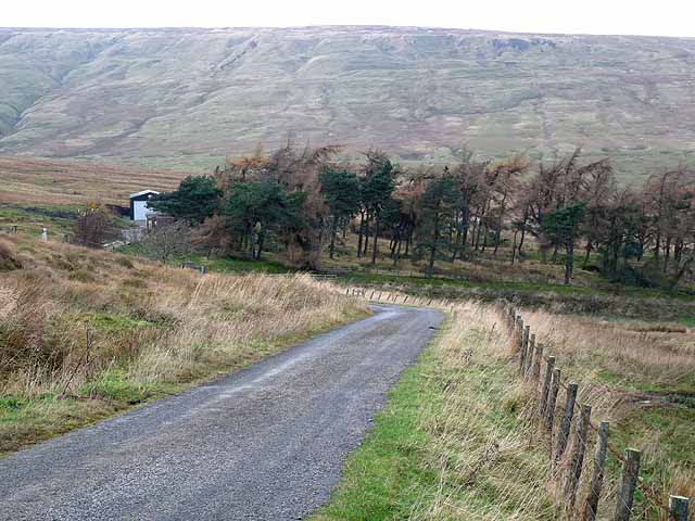
Black Hill is a prominent hill located in County Durham, England. Rising to an elevation of approximately 304 meters (997 feet), it is part of the North Pennines Area of Outstanding Natural Beauty. Situated about 3 kilometers (1.9 miles) southwest of the village of Blanchland, Black Hill offers stunning panoramic views of the surrounding countryside.
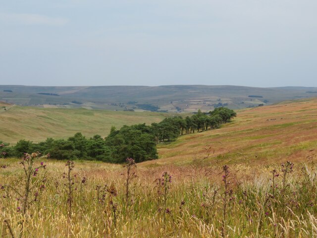
The hill is formed primarily of limestone, creating a distinctive landscape characterized by craggy outcrops and deep gorges. It is known for its diverse flora and fauna, with heather, bilberry, and cotton grass covering the hillside, along with a variety of wildflowers in the warmer months. The area is also home to several bird species, including the red grouse, merlin, and golden plover.
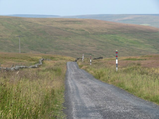
Black Hill is a popular destination for outdoor enthusiasts, particularly hikers and walkers, who can enjoy a network of footpaths and trails that crisscross the hill and its surroundings. One of the most well-known routes is the Pennine Way, a long-distance footpath that passes near the summit of Black Hill. Additionally, the hill is part of the Black Hill and Burnhope Reservoirs Site of Special Scientific Interest, further highlighting its ecological significance.
The hill's location in the North Pennines offers a tranquil and remote setting, making it a favored spot for those seeking solitude and natural beauty. Its proximity to Blanchland also means that visitors can easily access amenities such as parking, accommodations, and local eateries. Overall, Black Hill is a captivating destination that showcases the natural splendor of County Durham's landscape.
If you have any feedback on the listing, please let us know in the comments section below.
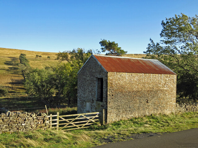
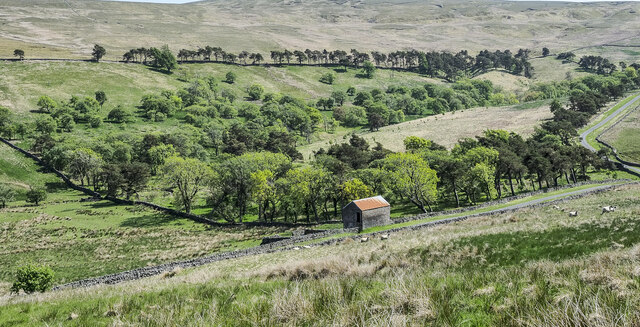
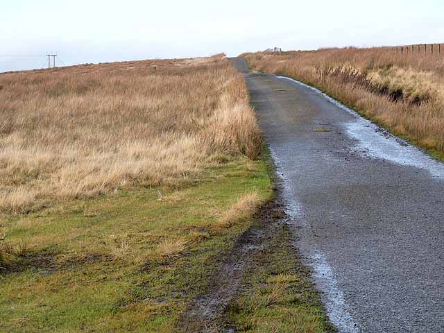
Black Hill Images
Images are sourced within 2km of 54.695295/-2.1465525 or Grid Reference NY9033. Thanks to Geograph Open Source API. All images are credited.

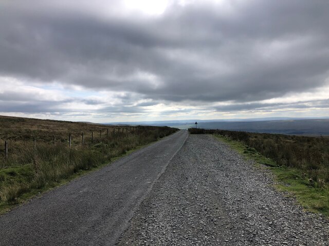
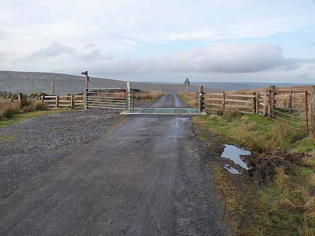
![Road summit at Swinhope Head [2] Quite a contrast to the last time I took a photograph here [22/03/18] as the temperature on that occasion was only a little above freezing, but on this occasion it was 33°C, even at 2000ft. Taken on a day of record breaking temperatures across Britain. Not much point in coming up here to keep cool.](https://s3.geograph.org.uk/geophotos/07/23/44/7234403_67798f0e.jpg)


Black Hill is located at Grid Ref: NY9033 (Lat: 54.695295, Lng: -2.1465525)
Unitary Authority: County Durham
Police Authority: Durham
What 3 Words
///paint.droplet.lends. Near Newbiggin, Co. Durham
Nearby Locations
Related Wikis

Fairy Holes Cave
Fairy Holes Cave is a Site of Special Scientific Interest in the Wear Valley district of west County Durham, England. It is located on the western flanks...
Ettersgill
Ettersgill is a village in County Durham, England. It is situated at the top of Teesdale, on the north side of the Tees between Newbiggin and Forest-in...

Westgate, County Durham
Westgate is a village in the civil parish of Stanhope, in County Durham, England. It is situated in Weardale between St John's Chapel and Eastgate. In...

North Pennines
The North Pennines is the northernmost section of the Pennine range of hills which runs north–south through northern England. It lies between Carlisle...
Westgate-in-Weardale railway station
Westgate-in-Weardale railway station served the village of Westgate, County Durham, England, from 1895 to 1965 on the Weardale Railway. == History == The...

Westgate Methodist Chapel
Westgate Methodist Chapel stands on the A689 road in the village of Westgate, some 5 miles (8 km) west of Stanhope, County Durham, England (grid reference...

Daddry Shield
Daddry Shield is a village in the civil parish of Stanhope, in County Durham, England. It is situated on the south side of the River Wear in Weardale,...
Harthope Moss
Harthope Moss, also known as Chapel Fell (elevation 627 m; 2,057 ft) is a mountain pass in the English Pennines. The pass divides Weardale to the north...
Nearby Amenities
Located within 500m of 54.695295,-2.1465525Have you been to Black Hill?
Leave your review of Black Hill below (or comments, questions and feedback).