Hades Hill

Hill, Mountain in Lancashire

England

Hades Hill

Former Shawforth Station Subway Steps Steps leading up to what is now Knowsley Crescent housing
Former Shawforth Station Subway Steps Credit: Kevin Waterhouse

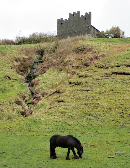
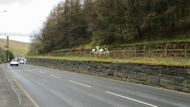
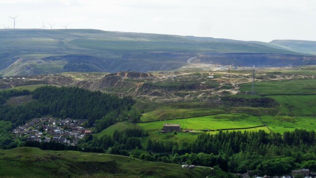
Hades Hill is a prominent geographical feature located in the county of Lancashire, England. Situated near the town of Whitworth, it is part of the South Pennines, a range of hills known for their stunning beauty and rugged terrain. Hades Hill stands at an elevation of approximately 1,542 feet (470 meters), making it one of the higher peaks in the area.

The hill derives its name from the old English word "hædd," meaning heathland or moor, which accurately describes its characteristic landscape. Covered in heather, grasses, and scattered rock formations, Hades Hill offers a striking visual contrast against the surrounding green pastures and farmland.

Its position provides visitors with breathtaking panoramic views of the Lancashire countryside, including the nearby Rossendale Valley and the iconic Pendle Hill to the east. On clear days, one can even catch glimpses of the distant Welsh mountains to the west.

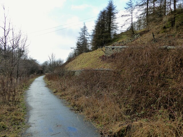
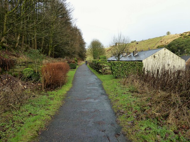
Hades Hill is a popular destination for outdoor enthusiasts, attracting hikers, walkers, and nature lovers alike. The hill is traversed by several well-marked footpaths, offering various routes and challenges for all abilities. Additionally, it is home to a diverse range of flora and fauna, including numerous bird species, butterflies, and wildflowers.

Despite its relatively modest height, Hades Hill holds a significant place in local folklore and history. It has been a source of inspiration for artists, poets, and writers throughout the years, and its mystical charm continues to captivate those who venture to its summit.

If you have any feedback on the listing, please let us know in the comments section below.
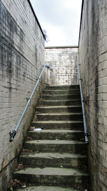
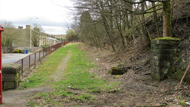
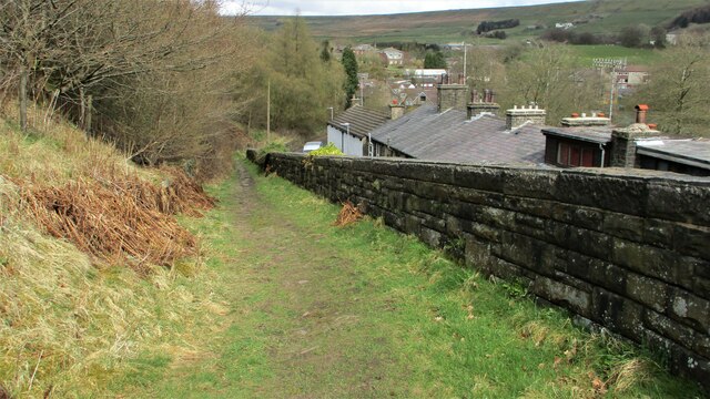
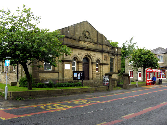
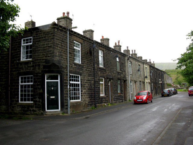
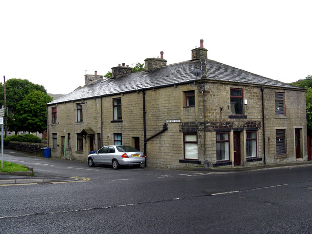
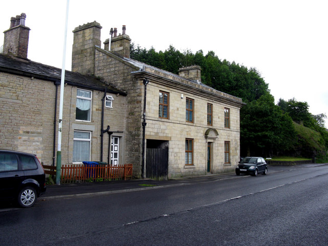
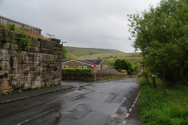
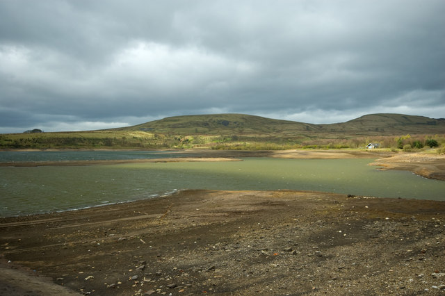
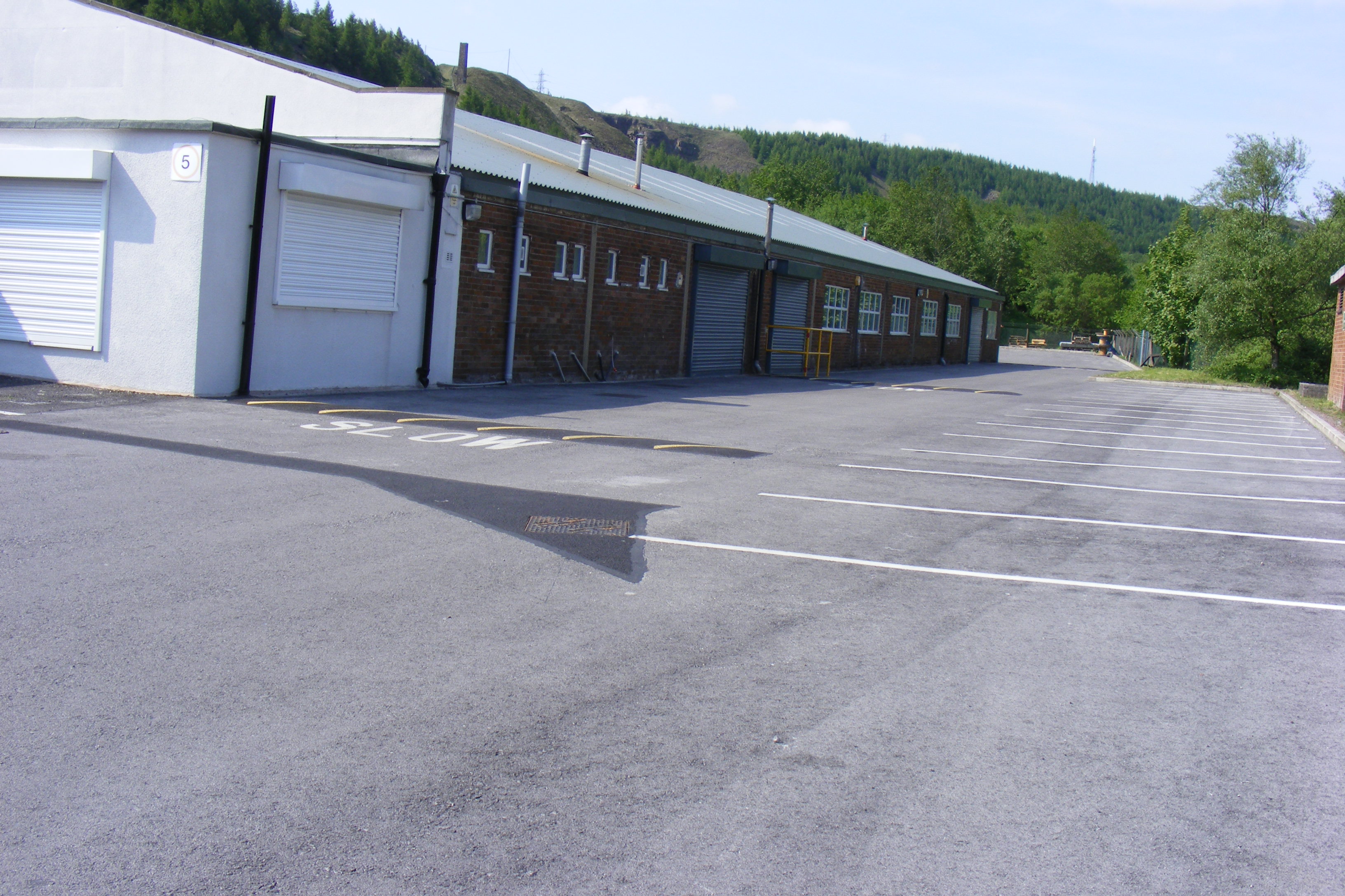
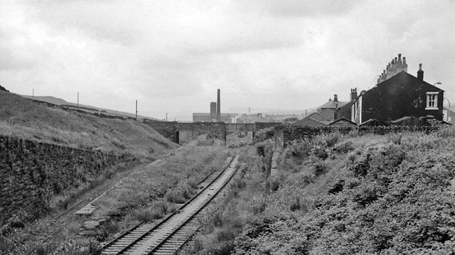
Hades Hill Images

Images are sourced within 2km of 53.679164/-2.1461902 or Grid Reference SD9020. Thanks to Geograph Open Source API. All images are credited.

Former Shawforth Station Subway Steps Steps leading up to what is now Knowsley Crescent housing
Former Shawforth Station Subway Steps
Steps leading up to what is now Knowsley Crescent housing
Footbridge over former Rochdale to Bacup Railway Footbridge North of Shawforth Station connecting Old Lane with Market Street
Footbridge over former Rochdale to Bacup Railway
Footbridge North of Shawforth Station connecting Old Lane with Market Street
Former Approach Road to Shawforth Station Yard The approach road runs parallel with Market Street but rises up to the former rail level
Former Approach Road to Shawforth Station Yard
The approach road runs parallel with Market Street but rises up to the former rail level
Access Track from Cowm Street to Former Railway Crossing Track up to what appears to be a former level crossing on the Rochdale-Bacup Railway
Access Track from Cowm Street to Former Railway Crossing
Track up to what appears to be a former level crossing on the Rochdale-Bacup Railway
Weather-break Farmhouse Gable End Old House Farmhouse has a gable end designed to control the wind and protect the roof. Viewed from Market Street, Trough Gate.
Weather-break Farmhouse Gable End
Old House Farmhouse has a gable end designed to control the wind and protect the roof. Viewed from Market Street, Trough Gate.
Horse Riders on Former Rochdale-Bacup Railway View down Market Street with former railway to right but within a cutting now filled. Peel Mill Chimney, Shawforth in the distance.
Horse Riders on Former Rochdale-Bacup Railway
View down Market Street with former railway to right but within a cutting now filled. Peel Mill Chimney, Shawforth in the distance.
Mast and Pylon at Facit Quarry With the active Britannia Quarry beyond, viewed from Hades Hill
Mast and Pylon at Facit Quarry
With the active Britannia Quarry beyond, viewed from Hades Hill
Former railway trackbed The Rochdale to Bacup branch line was cut into the hillside around Cowm. Now used as a cycle path.
Former railway trackbed
The Rochdale to Bacup branch line was cut into the hillside around Cowm. Now used as a cycle path.
Former railway trackbed The Rochdale to Bacup branch line was cut into the hillside on the climb beyond Shawforth. Now a cycle route and here used as a rear garden for the terraced row of cottages sandwiched between the railway and the road.
Former railway trackbed
The Rochdale to Bacup branch line was cut into the hillside on the climb beyond Shawforth. Now a cycle route and here used as a rear garden for the terraced row of cottages sandwiched between the railway and the road.
Shawforth:  Methodist Chapel
Shawforth: Methodist Chapel
Shawforth:  Moss Side Street The houses are numbered consecutively 3 to 13.
Shawforth: Moss Side Street
The houses are numbered consecutively 3 to 13.
Shawforth:  Moss Side Street There are only these three doors on this side of Moss Side Street:  The middle door has a '1' on it, the other two have no numbers. Where No 2 is, is anybody's guess.  Numbers 3 to 13, consecutive, are on the other side of the street.
Shawforth: Moss Side Street
There are only these three doors on this side of Moss Side Street: The middle door has a '1' on it, the other two have no numbers. Where No 2 is, is anybody's guess. Numbers 3 to 13, consecutive, are on the other side of the street.
Shawforth:  Former 'Red Lion' This former pub is now just plain 232 Market Street, but its former name is perpetuated by the bus stop - 'Red Lion, Shawforth'.
Shawforth: Former 'Red Lion'
This former pub is now just plain 232 Market Street, but its former name is perpetuated by the bus stop - 'Red Lion, Shawforth'.
Track and path off Oak Street The track is just an entrance to Cowm Farm. The path goes up the hill to the left from the track junction. It was my intended route but I found that it was closed due to a dangerous section of quarry. The quarry has possibly swallowed it up as it has already done to other paths.
Track and path off Oak Street
The track is just an entrance to Cowm Farm. The path goes up the hill to the left from the track junction. It was my intended route but I found that it was closed due to a dangerous section of quarry. The quarry has possibly swallowed it up as it has already done to other paths.
Path along a former railway track The Shawforth chimney is ahead.
Path along a former railway track
The Shawforth chimney is ahead.
Old Lane, Shawforth Part of the one-way system, where you have to turn left. A former railway bridge crossed the road here.
Old Lane, Shawforth
Part of the one-way system, where you have to turn left. A former railway bridge crossed the road here.
Path to Whitworth Higher End Moor The evidence of quarrying is everywhere.
Path to Whitworth Higher End Moor
The evidence of quarrying is everywhere.
Path down to Shawforth From both sides of the Spodden valley, it is only the new housing in Shawforth which really stands out. The older buildings are hidden in the valley bottom.
Path down to Shawforth
From both sides of the Spodden valley, it is only the new housing in Shawforth which really stands out. The older buildings are hidden in the valley bottom.
Show me another place!

Hades Hill is located at Grid Ref: SD9020 (Lat: 53.679164, Lng: -2.1461902)

Unitary Authority: Rochdale

Police Authority: Greater Manchester

What 3 Words

///etchings.questions.nails. Near Wardle, Manchester

Nearby Locations

Hades Hill Deacon Pasture

Related Wikis

Shawforth railway station

Shawforth railway station served Shawforth near Bacup, Rossendale, Lancashire, England, from 1881 until closure in 1947. == References == Suggitt, Gordon...

Shawforth

Shawforth ( SHAW-fərth) is a ward in the township of Whitworth within the Rossendale borough of Lancashire, England. It lies amongst the South Pennines...

Brown Wardle Hill

Brown Wardle is a hill between the village of Wardle, Greater Manchester and the town of Whitworth, Lancashire, England. The summit is on the border of...

Facit railway station

Facit railway station served Facit near Whitworth, Rossendale, Lancashire, England, from 1870 until closure to passengers in 1947 and freight in 1963....

Britannia, Lancashire

Britannia is a suburb of Bacup in the Rossendale borough of Lancashire, England. It lies on the course of two major roads and has a school and a nature...

Britannia railway station

Britannia railway station served Britannia near Bacup, Lancashire, England, from 1881 until closure in 1917. The station was just to the west of the summit...

Watergrove Reservoir

Watergrove Reservoir is a reservoir close to Wardle in the Metropolitan Borough of Rochdale, within Greater Manchester, England. Rochdale Corporation...

Whitworth, Lancashire

Whitworth is a town and civil parish in Rossendale, Lancashire, England, amongst the foothills of the Pennines between Bacup, to the north, and Rochdale...

Nearby Amenities

Located within 500m of 53.679164,-2.1461902
Hades Hill
Natural: peak
Source: npe
Lat/Long: 53.6784684/-2.1461619
Knowsley
Place: farm
Lat/Long: 53.6817421/-2.1517817
Hades Hill End Farm
Ruins: farmhouse
Lat/Long: 53.6747983/-2.1463206
Crossing
Lat/Long: 53.6754037/-2.1444745
Crossing
Lat/Long: 53.6750717/-2.1475274
Barrier: stile
Material: wood
Stile: stepover
Lat/Long: 53.6822736/-2.1463011
The data included in this document is from www.openstreetmap.org. The data is made available under ODbL.

Have you been to Hades Hill?

Leave your review of Hades Hill below (or comments, questions and feedback).