Garres Hill
Hill, Mountain in Yorkshire Craven
England
Garres Hill
Garres Hill is a prominent hill located in the county of Yorkshire, England. Situated in the beautiful countryside, it is a part of the Yorkshire Dales National Park, known for its stunning landscapes and natural beauty. This hill is a popular destination for hikers, nature lovers, and outdoor enthusiasts.
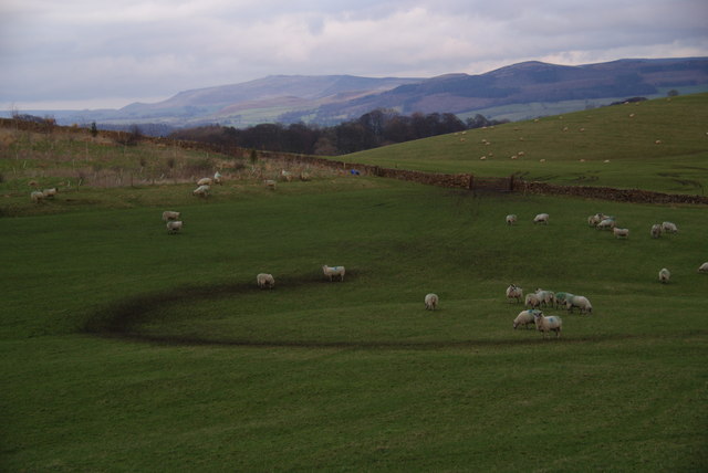
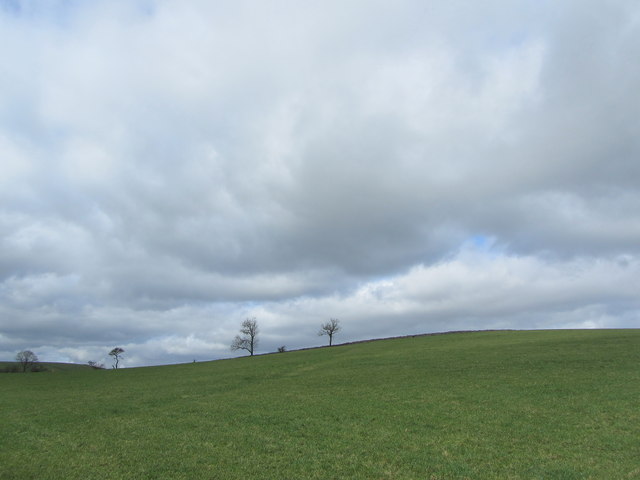
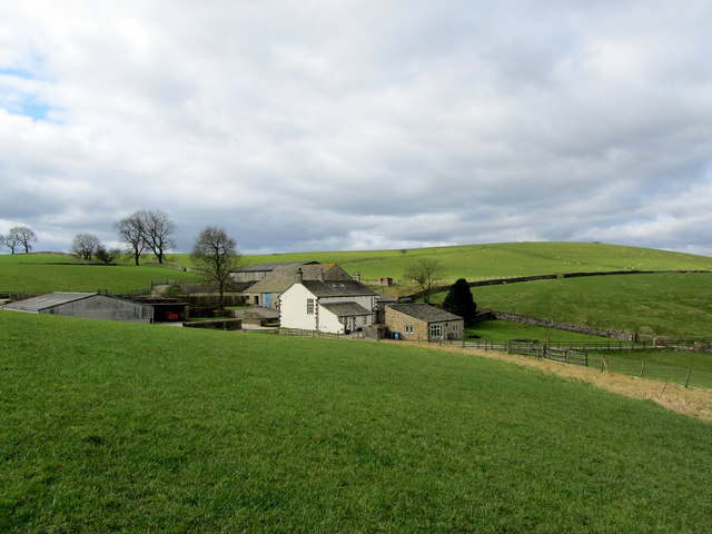
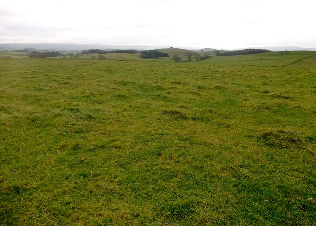
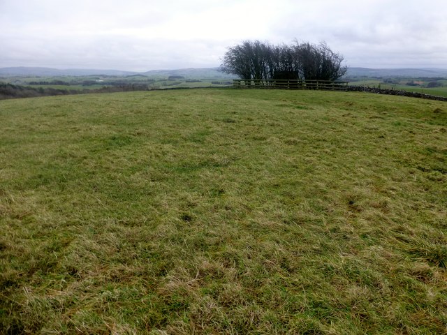
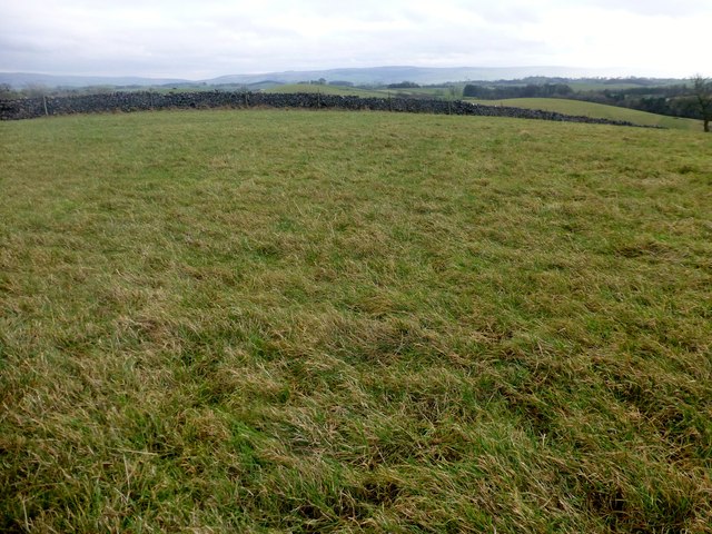
Rising to an elevation of approximately 412 meters (1,352 feet), Garres Hill offers breathtaking panoramic views of the surrounding countryside. Its location in the Yorkshire Dales provides visitors with a diverse range of natural features, including rolling hills, meandering rivers, and lush green valleys. The hill itself is covered in grasslands and is home to a variety of flora and fauna, making it an ideal spot for wildlife enthusiasts.
The ascent to Garres Hill is not particularly challenging, making it accessible to individuals of varying fitness levels. There are well-marked trails that lead to the summit, allowing hikers to enjoy a leisurely stroll or a more vigorous hike, depending on their preference. Along the way, hikers may encounter grazing sheep and other wildlife, adding to the charm of the experience.
At the top of Garres Hill, visitors are rewarded with unparalleled vistas that stretch for miles. On clear days, one can see the expansive Yorkshire Dales, with its patchwork of fields, quaint villages, and distant hills. The hilltop also provides an excellent vantage point for photographers, capturing the natural beauty of the surrounding area.
Overall, Garres Hill is a picturesque and accessible destination, offering visitors a chance to immerse themselves in the stunning landscapes of Yorkshire.
If you have any feedback on the listing, please let us know in the comments section below.
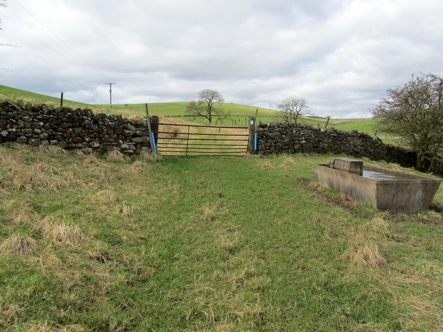
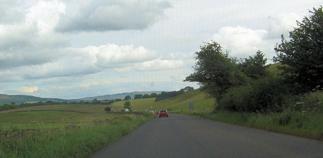
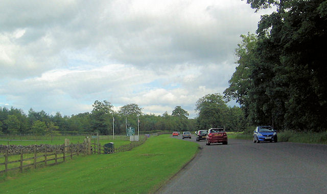
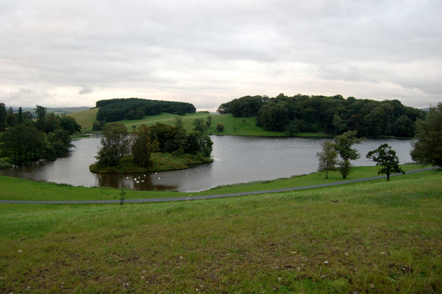
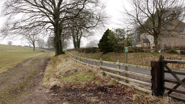
Garres Hill Images
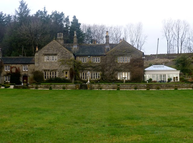
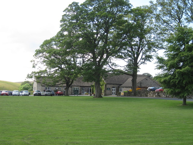
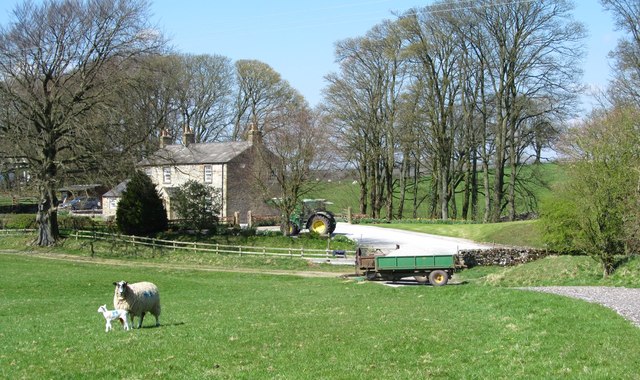
Images are sourced within 2km of 53.987442/-2.152165 or Grid Reference SD9054. Thanks to Geograph Open Source API. All images are credited.

Garres Hill is located at Grid Ref: SD9054 (Lat: 53.987442, Lng: -2.152165)
Division: West Riding
Administrative County: North Yorkshire
District: Craven
Police Authority: North Yorkshire
What 3 Words
///headset.reclined.estimates. Near Gargrave, North Yorkshire
Nearby Locations
Related Wikis

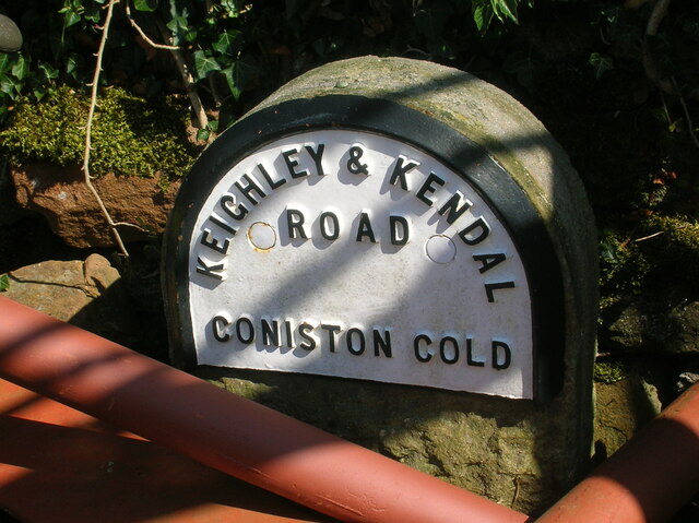
Coniston Cold
Coniston Cold is a village and civil parish in the Craven district of North Yorkshire, England. Historically part of the Staincliffe Wapentake of the West...

A65 road
The A65 is a major road in England. It runs north west from Leeds in West Yorkshire via Kirkstall, Horsforth, Yeadon, Guiseley, Ilkley and Skipton, west...

Aire Gap
Aire Gap is a pass through the Pennines in England formed by geologic faults and carved out by glaciers. The term is used to describe a geological division...

Bank Newton Hall
Bank Newton Hall is a historic building in Bank Newton, a village in North Yorkshire, in England. The older wing of the building dates from the mid-17th...
Nearby Amenities
Located within 500m of 53.987442,-2.152165Have you been to Garres Hill?
Leave your review of Garres Hill below (or comments, questions and feedback).