Fawdon Hill
Hill, Mountain in Northumberland
England
Fawdon Hill
Fawdon Hill is a prominent geographical feature located in Northumberland, England. Situated in the southern part of the county, it forms part of the beautiful North Pennines Area of Outstanding Natural Beauty. Ranging approximately 500 meters in height, Fawdon Hill offers visitors breathtaking panoramic views of the surrounding landscape.
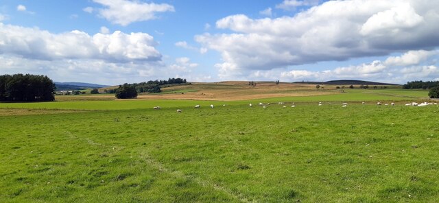
The hill is covered in rich green vegetation, including grasslands, heather, and scattered trees, making it an ideal habitat for a diverse range of flora and fauna. It is not uncommon to spot various bird species, such as golden plovers and lapwings, soaring through the skies in this area. Additionally, the hill is known for its diverse plant life, including bilberry and heather, which create a picturesque tapestry of colors during the blooming season.
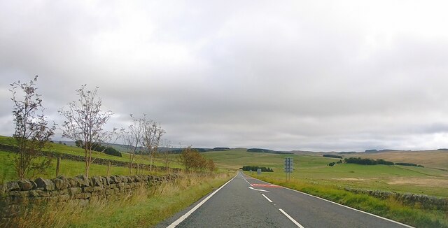
Hiking enthusiasts are drawn to Fawdon Hill due to its easily accessible trails and breathtaking vistas. Several paths wind their way up the hill, catering to both beginners and more experienced hikers. Along the way, there are designated viewpoints where visitors can pause and take in the awe-inspiring scenery that stretches out before them.
At the summit of Fawdon Hill, visitors are rewarded with a truly unparalleled view. On a clear day, one can see for miles, with the rolling hills, valleys, and distant mountains creating a stunning backdrop. The hill's strategic location also provides an excellent vantage point for observing local wildlife, including deer and foxes, as they traverse the surrounding countryside.
Overall, Fawdon Hill is a natural gem within Northumberland's landscape. Whether it be for a leisurely stroll or an adventurous hike, this hill offers a memorable experience for nature lovers and outdoor enthusiasts alike.
If you have any feedback on the listing, please let us know in the comments section below.
Fawdon Hill Images
Images are sourced within 2km of 55.24015/-2.1647198 or Grid Reference NY8994. Thanks to Geograph Open Source API. All images are credited.


Fawdon Hill is located at Grid Ref: NY8994 (Lat: 55.24015, Lng: -2.1647198)
Unitary Authority: Northumberland
Police Authority: Northumbria
What 3 Words
///pinging.crown.chats. Near Otterburn, Northumberland
Nearby Locations
Related Wikis

Otterburn Tower
Otterburn Tower (sometimes spelled Otiburne; originally Otterburn Castle; currently Otterburn Tower Hotel) is a Grade II listed castellated, three star...

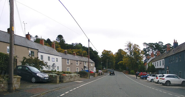
Otterburn, Northumberland
Otterburn is a small village in Northumberland, England, 31 miles (50 km) northwest of Newcastle upon Tyne on the banks of the River Rede, near the confluence...

Otterburn Hall
Otterburn Hall is an English country house and estate in Otterburn, Northumberland. It is situated in 500 acres (200 ha) of deer park and woodland in...

Otterburn Mill
Otterburn Mill is a former textile mill in Otterburn, Northumberland, northeast England. It lies just south of the Otterburn Tower along the A696 road...
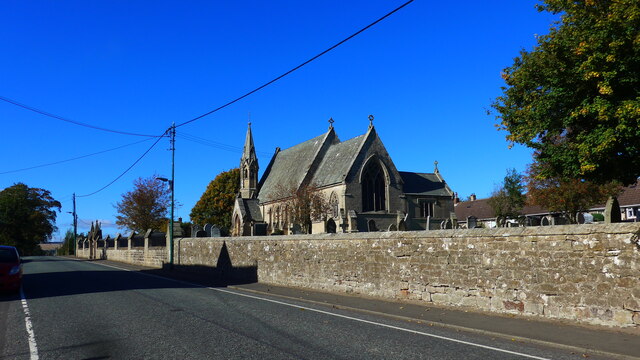
St John the Evangelist's Church, Otterburn
St John the Evangelist's Church is a church in Otterburn, Northumberland, northeast England, located off the A696 road. == History == The foundation stone...

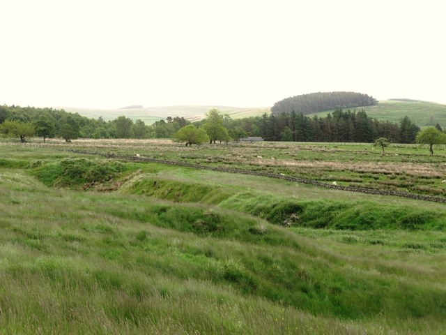
Redesdale
Redesdale is a valley in western Northumberland, England. It is formed by the River Rede, which rises in the Cheviots and flows down to join the North...
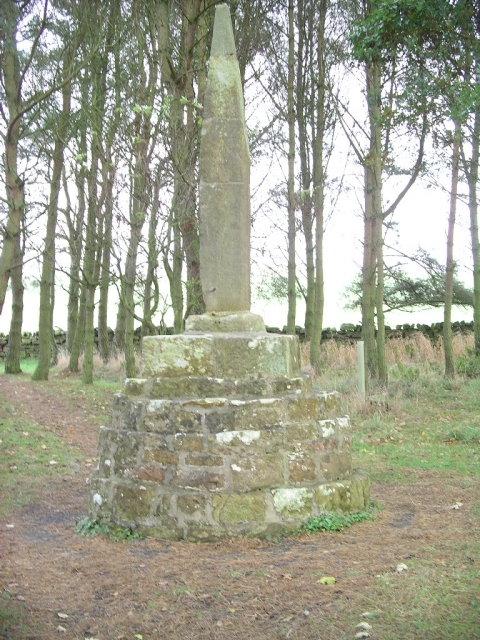
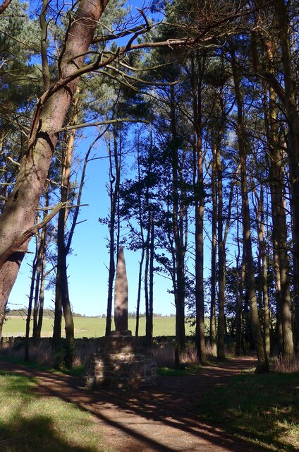
Percy Cross
The Percy Cross (also Battle Stone) is located just off the A696, 1 kilometre (0.62 mi) from Otterburn, Northumberland, England. It was erected before...
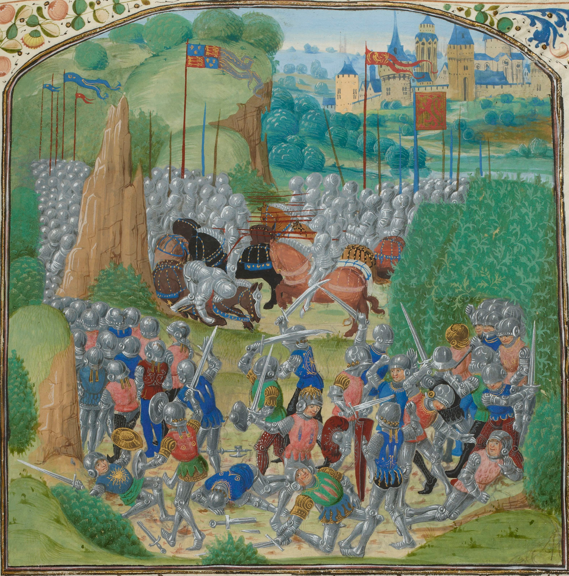
Battle of Otterburn
The Battle of Otterburn took place according to Scottish sources on 5 August 1388, or 19 August according to English sources, as part of the continuing...
Related Videos

EP 23 Rochester to Chew Green - The Grand Tour of Northumberland
18th July 2020 Join me on my walk of historic Northumberland as I continue my hike. Packed full of history and beautiful scenery.
Short Walk up one of the hills in the Otterburn Ranges
A fantastic day on top of one of the Northumberland Dewey. Apologise for the wind noise.


OUR LUXURIOUS LODGE TOUR | OTTERBURN HALL LODGES
Hi everyone and welcome to our YouTube channel Today's video is our luxurious lodge tour at Otterburn hall lodges. If you would ...
Nearby Amenities
Located within 500m of 55.24015,-2.1647198Have you been to Fawdon Hill?
Leave your review of Fawdon Hill below (or comments, questions and feedback).