Kelvinside
Settlement in Lanarkshire
Scotland
Kelvinside

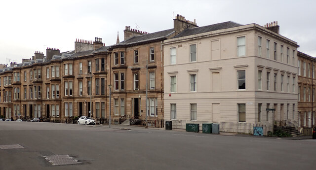
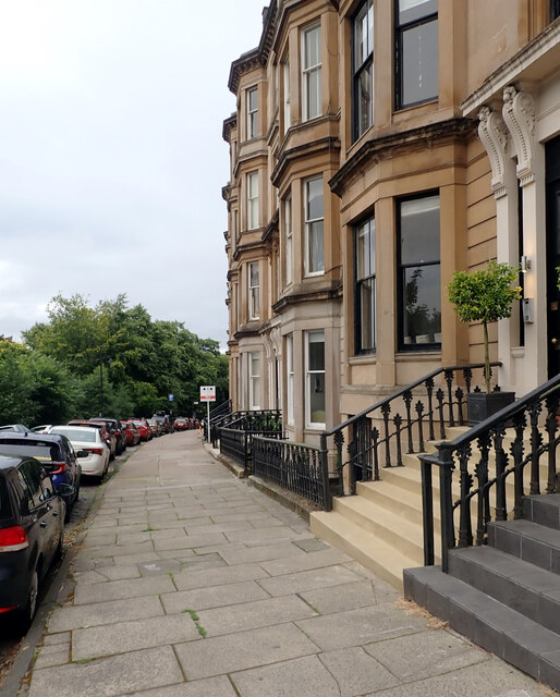
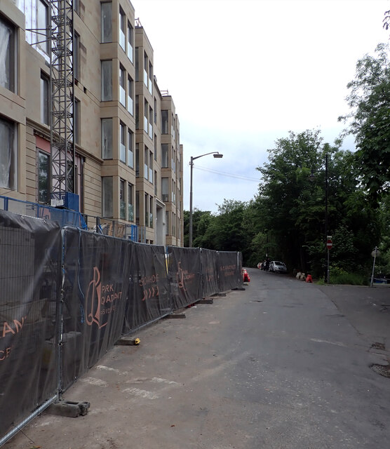
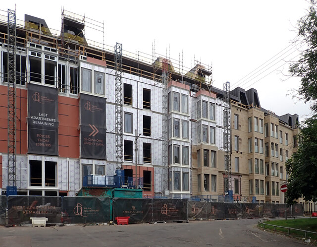
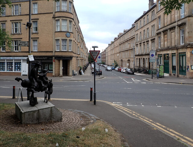
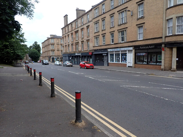
Kelvinside is a suburban area located in the northwest of Glasgow, Scotland. It falls under the jurisdiction of the historic county of Lanarkshire. Situated along the banks of the River Kelvin, Kelvinside is known for its leafy streets, elegant Victorian and Edwardian architecture, and its close proximity to the city center.
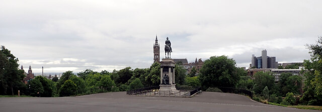
The area is primarily residential, attracting families and professionals who appreciate its quiet atmosphere and convenient location. Kelvinside is home to a mix of spacious detached houses, stylish townhouses, and luxury apartments. Its well-maintained green spaces, such as Kelvingrove Park and the Botanic Gardens, provide residents with ample opportunities for outdoor activities and leisurely walks.
Education is highly regarded in Kelvinside, with a number of prestigious schools situated in the area. The University of Glasgow, one of the oldest and most prestigious higher education institutions in the country, is also located nearby.
Kelvinside benefits from excellent transport links, with regular bus services connecting it to Glasgow city center and surrounding areas. The nearby Kelvinbridge subway station offers further convenience for commuting and exploring the wider region.
Residents of Kelvinside enjoy a range of amenities, including a variety of shops, cafes, and restaurants. The area has a vibrant community spirit, with local events and initiatives bringing people together.
Overall, Kelvinside offers a desirable and sought-after living environment, combining the tranquility of suburban living with easy access to urban amenities and cultural attractions.
If you have any feedback on the listing, please let us know in the comments section below.
Kelvinside Images
Images are sourced within 2km of 55.881225/-4.2965442 or Grid Reference NS5667. Thanks to Geograph Open Source API. All images are credited.


Kelvinside is located at Grid Ref: NS5667 (Lat: 55.881225, Lng: -4.2965442)
Unitary Authority: City of Glasgow
Police Authority: Greater Glasgow
What 3 Words
///humans.moving.nets. Near Glasgow
Nearby Locations
Related Wikis

Kelvinside Academy
Kelvinside Academy is an independent day school in Glasgow, Scotland, founded in 1878. It has a capacity of over 600 pupils and spans two years of Nursery...
Amaryllis (restaurant)
Amaryllis was a restaurant located in the One Devonshire Gardens hotel in Glasgow, Scotland. It was opened by chef Gordon Ramsay, with David Dempsey operating...

Kirklee railway station
Kirklee railway station was a railway station serving the Kelvinside area in the West End of Glasgow, Scotland. == History == The station was opened on...
Scottish School of Primary Care
The Scottish School of Primary Care (SSPC) is an organisation that co-ordinates a programme of research and training in primary care in Scotland. The School...
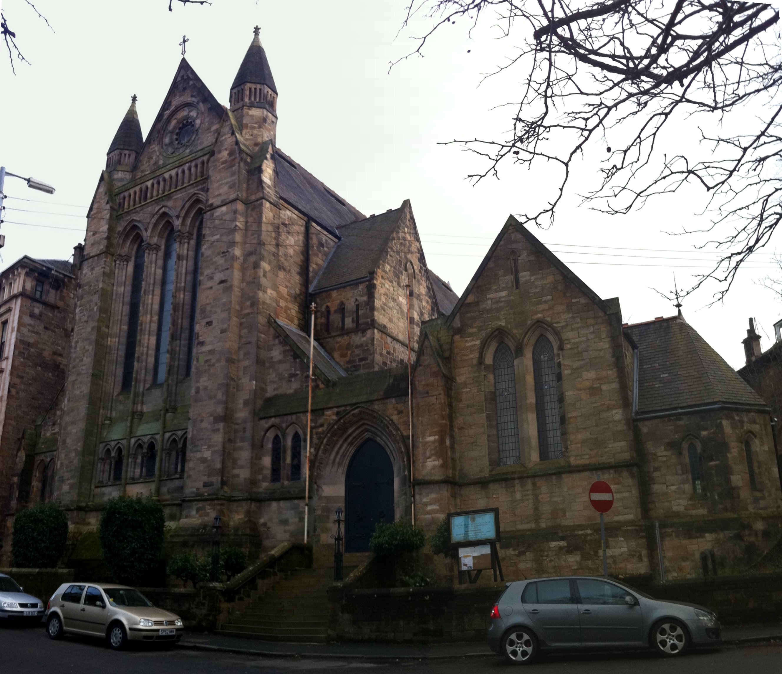
Greek Orthodox Cathedral of St Luke, Glasgow
St. Luke's Greek Orthodox Cathedral is a cathedral of the Greek Orthodox Church in the Dowanhill district of Glasgow, Scotland. == History == === Belhaven... ===
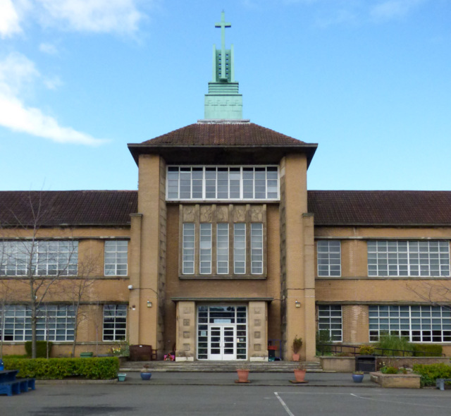
Notre Dame High School, Glasgow
Notre Dame High School is a local, catchment based state funded secondary school for girls, located on Observatory Road in Glasgow, Scotland. It was founded...
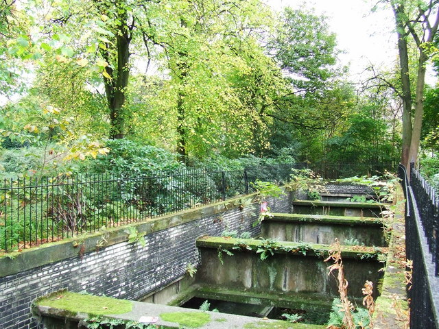
Botanic Gardens railway station
Botanic Gardens railway station was a railway station serving the Botanic Gardens located in the Kelvinside area in the West End of Glasgow. == History... ==
Glasgow Botanic Gardens
Glasgow Botanic Gardens is a botanical garden located in the West End of Glasgow, Scotland. It features several glasshouses, the most notable of which...
Nearby Amenities
Located within 500m of 55.881225,-4.2965442Have you been to Kelvinside?
Leave your review of Kelvinside below (or comments, questions and feedback).