Kelvinhaugh

Settlement in Lanarkshire

Scotland

Kelvinhaugh

Renfrew Street, Glasgow
Renfrew Street, Glasgow Credit: habiloid

Kelvinhaugh is a small village located in the historical county of Lanarkshire, Scotland. Situated on the banks of the River Kelvin, it is approximately 3 miles northwest of the city center of Glasgow. The village is part of the larger city's West End district.

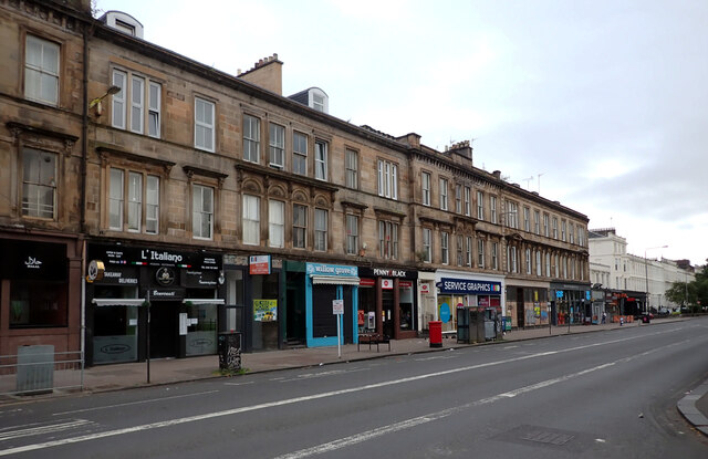
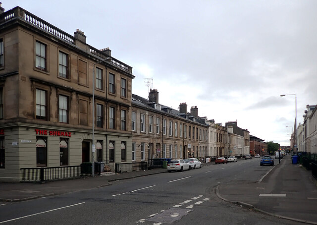
Kelvinhaugh is primarily a residential area, known for its picturesque surroundings and tranquil atmosphere. The village is characterized by its charming traditional stone-built houses, many of which have been well-preserved, giving it a distinct architectural character.

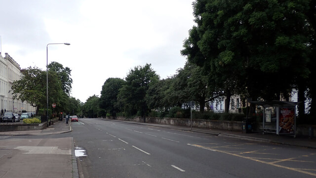
The area offers a range of amenities to its residents, including local shops, cafes, and recreational facilities. There are also several parks and green spaces nearby, such as the Kelvingrove Park and the Botanic Gardens, providing ample opportunities for outdoor activities and leisurely strolls.

Kelvinhaugh benefits from its proximity to Glasgow, with excellent transport links connecting the village to the city center and beyond. The Kelvinhall subway station provides easy access to the underground network, while several bus routes pass through the area.

The village's location on the banks of the River Kelvin also offers residents the chance to enjoy riverside walks and take in the natural beauty of the area. Additionally, the nearby Kelvingrove Art Gallery and Museum is a popular attraction, showcasing a diverse collection of art and artifacts.

Overall, Kelvinhaugh is a charming village in Lanarkshire, offering a peaceful and scenic environment while still benefiting from its close proximity to the vibrant city of Glasgow.

If you have any feedback on the listing, please let us know in the comments section below.
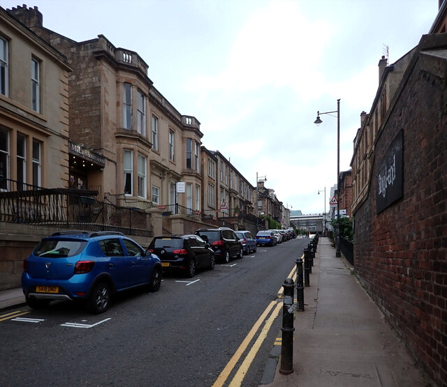
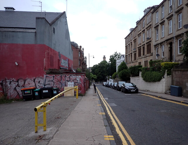
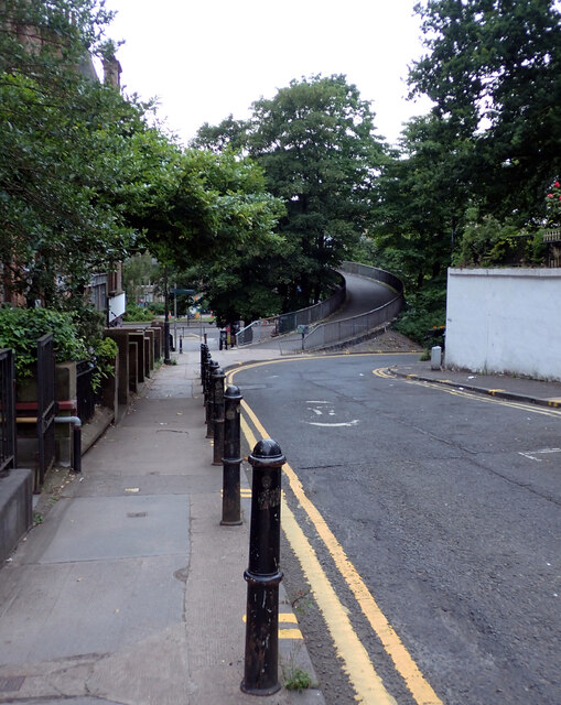
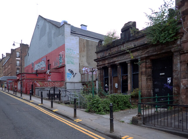
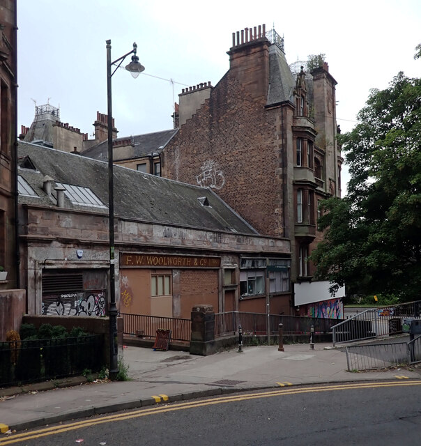
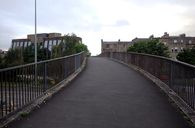
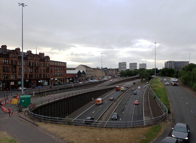
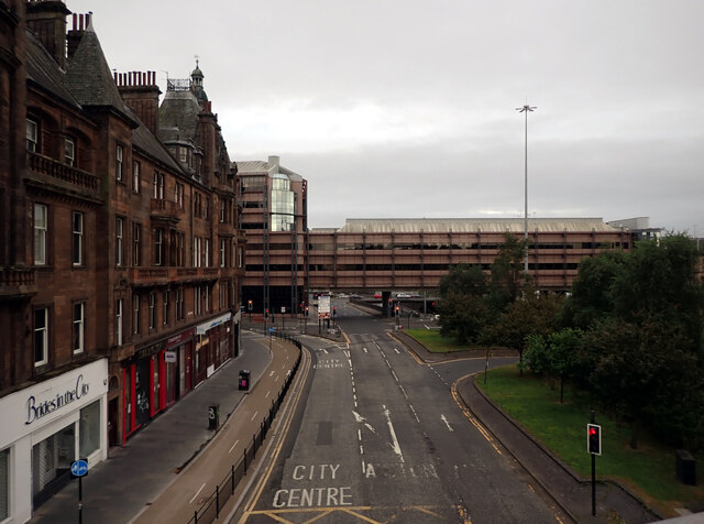
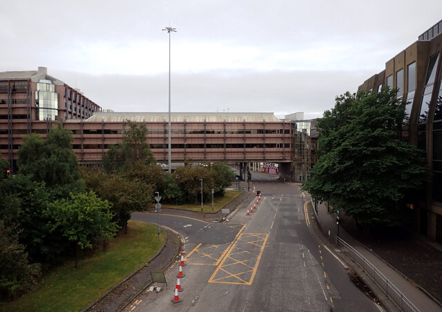
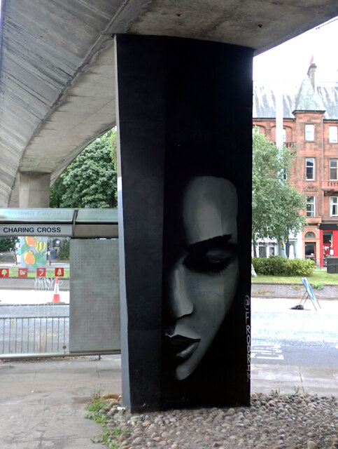
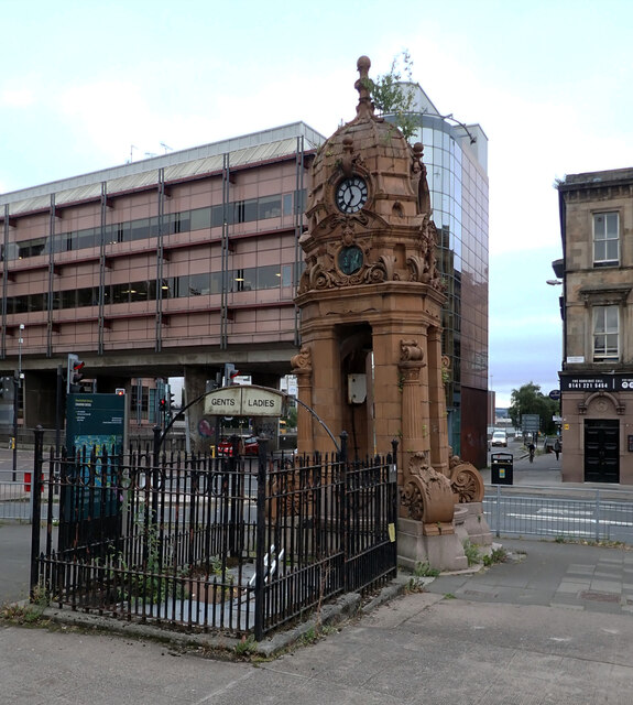
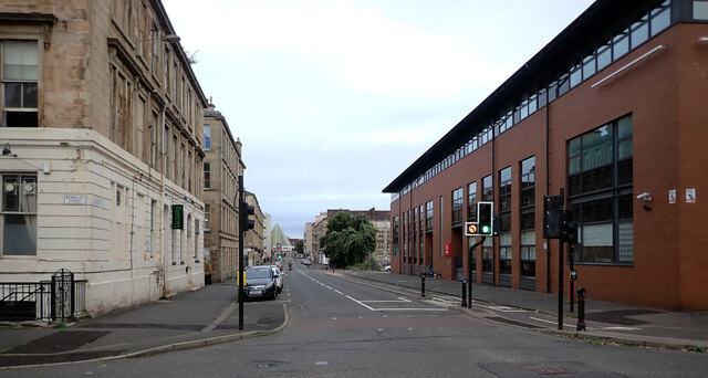
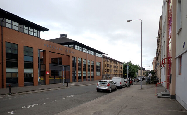
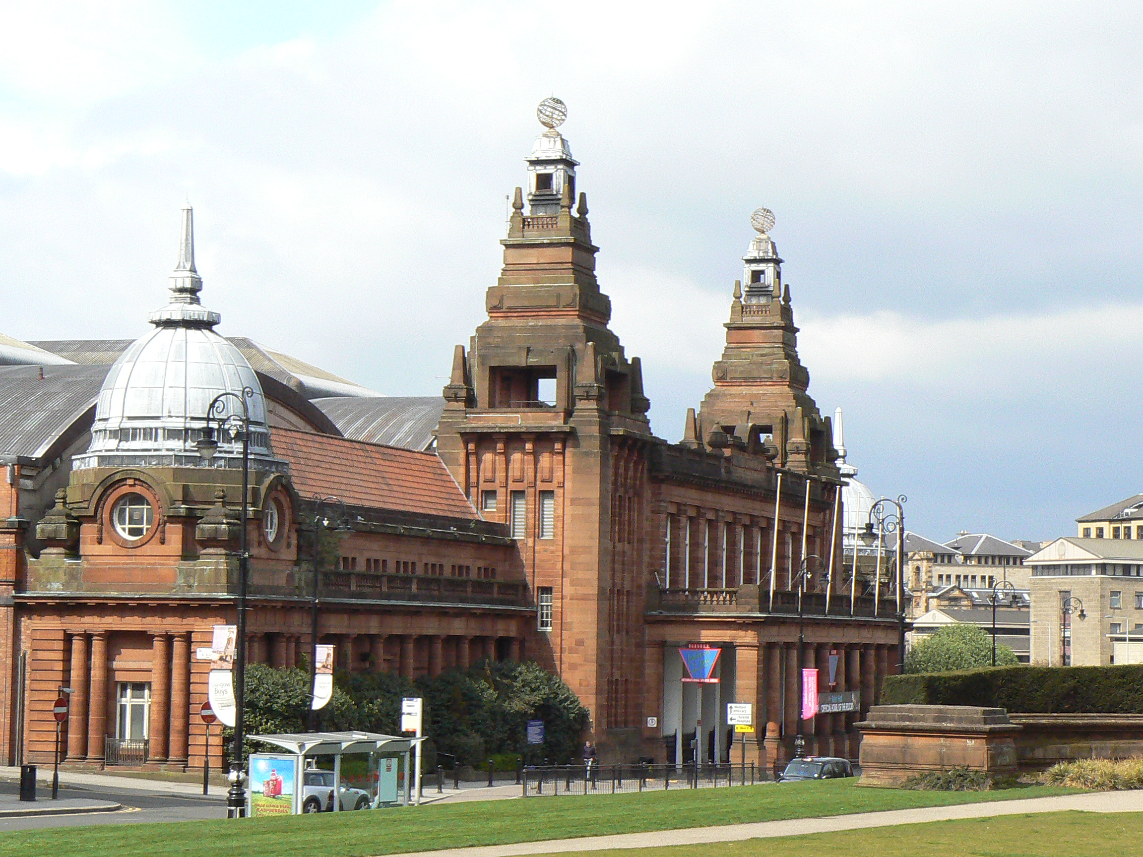
Kelvinhaugh Images

Images are sourced within 2km of 55.865936/-4.2956256 or Grid Reference NS5666. Thanks to Geograph Open Source API. All images are credited.

Renfrew Street, Glasgow
Renfrew Street, Glasgow The footbridge at the end of the street crosses North Street into Kelvinbridge.
Renfrew Street, Glasgow
The footbridge at the end of the street crosses North Street into Kelvinbridge.
Renfrew Street, Glasgow
Old F.W. Woolworth building, Renfrew Street, Glasgow
Footbridge over North Street (A804) leaving Renfrew Street, Glasgow
The M8 seen from a footbridge over North Street (A804), Glasgow
St. George's Road (A804) seen from a footbridge, Glasgow
North Street (A804) seen from a footbridge, Glasgow
Street Art, North Street (A804), Glasgow Painted on a pillar supporting a footbridge.
Street Art, North Street (A804), Glasgow
Painted on a pillar supporting a footbridge.
"Cronyism is English for Corruption", Glasgow A fly-posting column on North Street (A804)
"Cronyism is English for Corruption", Glasgow
A fly-posting column on North Street (A804)
The Cameron Memorial Fountain, Glasgow Some disused public toilets stand in front of this memorial.
The Cameron Memorial Fountain, Glasgow
Some disused public toilets stand in front of this memorial.
Sauchiehall Street, Glasgow A close-up of the post box can be seen in <a href="https://www.geograph.org.uk/photo/6932575">NS5766 : Post box, Sauchiehall Street, Glasgow</a>.
Sauchiehall Street, Glasgow
A close-up of the post box can be seen in NS5766 : Post box, Sauchiehall Street, Glasgow.
Post box, Sauchiehall Street, Glasgow This post box can be seen in context in <a href="https://www.geograph.org.uk/photo/6932568">NS5766 : Sauchiehall Street, Glasgow</a>.
Post box, Sauchiehall Street, Glasgow
This post box can be seen in context in NS5766 : Sauchiehall Street, Glasgow.
Sauchiehall Street, Glasgow
Berkeley Street, Glasgow
Elderslie Street, Glasgow
Berkeley Square, Berkeley Street, Glasgow
Show me another place!

Kelvinhaugh is located at Grid Ref: NS5666 (Lat: 55.865936, Lng: -4.2956256)

Unitary Authority: City of Glasgow

Police Authority: Greater Glasgow

What 3 Words

///danger.cans.froth. Near Glasgow

Related Wikis

Yorkhill Parade drill hall

The Yorkhill Parade drill hall is a former military installation in Glasgow. == History == The building was designed as the headquarters of the Glasgow...

West Glasgow Ambulatory Care Hospital

The West Glasgow Ambulatory Care Hospital is a healthcare facility in Yorkhill, Glasgow. The new ambulatory care facility was created in December 2015...

Yorkhill Street drill hall

The Yorkhill Street drill hall is a former military installation in Glasgow. == History == The building was designed by William Hunter McNab of the Leiper...

Kelvinhaugh, Glasgow

Kelvinhaugh is a neighbourhood in the city of Glasgow, Scotland. It is situated directly north of the River Clyde in the West End of the city.Its boundaries...

Kelvin Hall International Sports Arena

The Kelvin Hall International Sports Arena was located within the Kelvin Hall in Glasgow, Scotland. It hosted many athletics competitions including the...
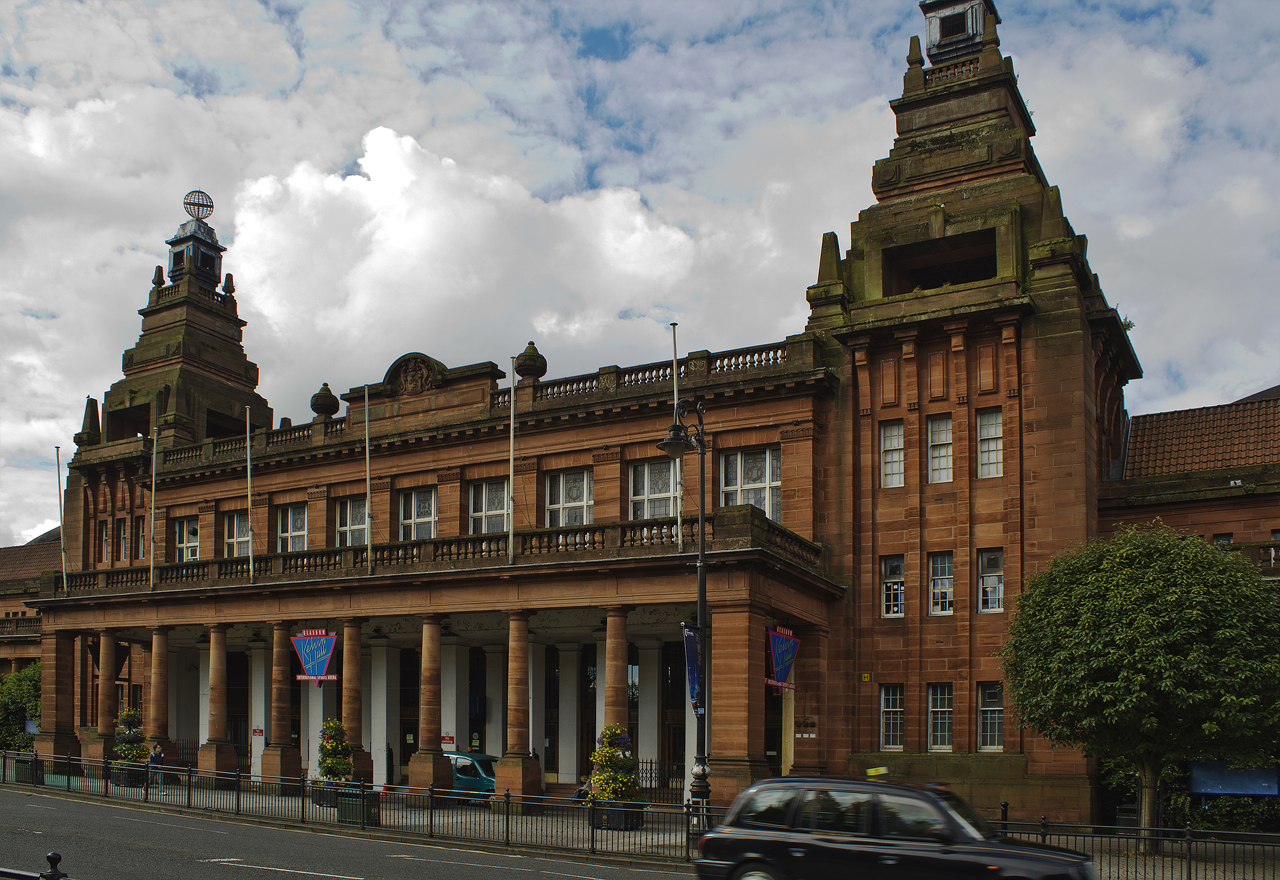
Kelvin Hall

The Kelvin Hall, located on Argyle Street in Glasgow, Scotland, is one of the largest exhibition centres in Britain and now a mixed-use arts and sports...

Archives of the University of Glasgow

The Archives of the University of Glasgow (GUAS) maintain the historical records of the University of Glasgow back to its foundation in 1451. Its earliest...

Clydeside distillery

Clydeside distillery is a Scotch whisky distillery in Glasgow, Scotland. When production began in 2017, Clydeside was the first active distillery in Glasgow...

Nearby Amenities

Located within 500m of 55.865936,-4.2956256
Railway: switch
Lat/Long: 55.8632201/-4.2943223
Crossing
Lat/Long: 55.8617992/-4.2937248
Barrier: bollard
Bicycle: yes
Foot: yes
Lat/Long: 55.8699258/-4.2936968
Crossing: no
Junction: yes
Lat/Long: 55.8663183/-4.2893044
Bus Stop
Sauchiehall Street / Kelvingrove Art Gallery
Bench: yes
Check Date Shelter: 2022-11-25
Lit: yes
Naptan AtcoCode: 6090258
Naptan Bearing: SE
Naptan CommonName: Clayslaps Road
Naptan Indicator: opp
Naptan Landmark: Kelvingrove Art Gallery
Naptan NaptanCode: 45242468
Naptan Street: Sauchiehall Street
Ref: 6090258
Shelter: yes
Tactile Paving: no
Lat/Long: 55.8672149/-4.2895781
Bus Stop
Argyle Street / Haugh Road
Bus: yes
Name Ja: アーガイル・ストリート/ホー・ロード
Naptan AtcoCode: 6090227
Naptan Bearing: SE
Naptan CommonName: Haugh Road
Naptan Indicator: Opp
Naptan Landmark: Haugh Road
Naptan NaptanCode: 45239646
Naptan Street: Argyle Street
Public Transport: platform
Ref: 6090227
Shelter: no
Lat/Long: 55.8661466/-4.288538
Bus Stop
Argyle Street / Haugh Road
Bus: yes
Name Ja: アーガイル・ストリート/ホー・ロード
Naptan AtcoCode: 6090226
Naptan Bearing: NW
Naptan CommonName: Haugh Road
Naptan Indicator: before
Naptan Landmark: Haugh Road
Naptan NaptanCode: 45239535
Naptan Street: Argyle Street
Public Transport: platform
Ref: 6090226
Shelter: yes
Tactile Paving: yes
Lat/Long: 55.865989/-4.2884759
Bus Stop
Dumbarton Road / Bunhouse Road
Bench: yes
Bus: yes
Naptan AtcoCode: 6090232
Naptan Bearing: SE
Naptan CommonName: Western Infirmary
Naptan Indicator: After
Naptan Landmark: Bunhouse Road
Naptan NaptanCode: 45237387
Naptan Street: Dumbarton Road
Nat Ref: 6090232
Public Transport: platform
Ref: 6090232
Shelter: yes
Tactile Paving: no
Lat/Long: 55.8697788/-4.2945486
Bus Stop
Dumbarton Road / Thurso Street
Bench: yes
Bin: yes
Bus: yes
Lit: yes
Naptan AtcoCode: 6090233
Naptan Bearing: NW
Naptan CommonName: Western Infirmary
Naptan Indicator: opp
Naptan Landmark: Thurso Street
Naptan NaptanCode: 45242685
Naptan Street: Dumbarton Road
Public Transport: platform
Ref: 6090233
Shelter: yes
Tactile Paving: yes
Lat/Long: 55.86977/-4.29502
Bus Stop
Argyle Street / Regent Moray Street
Bench: yes
Check Date Shelter: 2024-02-17
Naptan AtcoCode: 6090230
Naptan Bearing: SE
Naptan CommonName: Kelvingrove Art Galleries
Naptan Indicator: At
Naptan Landmark: Regent Moray Street
Naptan NaptanCode: 45236863
Naptan Street: Argyle Street
Nat Ref: 6090230
Note: lines: First 23, 42; Stagecoach X76, X77; McGills 7
Ref: 6090230
Shelter: yes
Lat/Long: 55.86829/-4.29184
Bus Stop
Argyle Street / Art Galleries
Bench: yes
Check Date Shelter: 2023-06-07
Name Ja: アーガイル・ストリート/アート・ギャラリーズ
Naptan AtcoCode: 6090231
Naptan Bearing: SE
Naptan CommonName: Blantyre Street
Naptan Indicator: Opp
Naptan Landmark: Art Galleries
Naptan NaptanCode: 45239846
Naptan Street: Argyle Street
Nat Ref: 6090231
Note: lines: First 9, 62; City Sightseeing C1
Ref: 6090231
Shelter: yes
Lat/Long: 55.86854/-4.29211
Main Entrance
Entrance: main
Lat/Long: 55.8671428/-4.2974879
Bus Stop
Argyle Street / Regent Moray Street
Bench: yes
Bin: yes
Check Date Shelter: 2024-02-17
Naptan AtcoCode: 6090229
Naptan Bearing: NW
Naptan CommonName: Kelvingrove Art Galleries
Naptan Indicator: Opp
Naptan Landmark: Regent Moray Street
Naptan NaptanCode: 45239435
Naptan Street: Argyle Street
Ref: 6090229
Shelter: yes
Lat/Long: 55.8681169/-4.2919348
Post Box
Collection Times: Mo-Fr 18:45; Sa 12:15
Ref: G3 1095
Lat/Long: 55.8671953/-4.2946315
Kelvingrove Park Ranger Centre
Tourism: information
Lat/Long: 55.8675589/-4.2892173
Restaurant
Gloriosa
Addr Housenumber: 1321
Addr Postcode: G3 8TL
Addr Street: Argyle Street
Contact Phone: +44 141 334 0594
Fhrs Id: 1521983
Note: FHRS has 1323
Old Name: Firebird
Website: https://www.gloriosaglasgow.com/
Lat/Long: 55.8665995/-4.2904739
Post Box
Brand: Royal Mail
Brand Wikidata: Q638098
Check Date: 2024-02-17
Collection Times: Mo-Fr 18:45, Sa 12:15
Mapillary: 528695321837197
Operator: Royal Mail
Operator Wikidata: Q638098
Post Box Type: pillar
Ref: G3 471
Royal Cypher: scottish_crown
Lat/Long: 55.8682794/-4.2921069
Post Box
Collection Times: Mo-Fr 18:30; Sa 12:15
Post Box Type: pillar
Ref: G3 129
Lat/Long: 55.8663292/-4.2896118
Happy Lets
Office: estate_agent
Postal Code: G3 8TL
Lat/Long: 55.866288/-4.2897344
Yorkhill
Is In: Glasgow
Place: suburb
Wikidata: Q8055637
Wikipedia: en:Yorkhill
Lat/Long: 55.8668613/-4.2979657
Barrier: bollard
Bicycle: yes
Foot: yes
Lat/Long: 55.8694846/-4.2933728
Crossing
Crossing: traffic_signals
Crossing Island: no
Crossing Ref: toucan
Tactile Paving: yes
Lat/Long: 55.8693499/-4.2934696
Barrier: bollard
Bicycle: yes
Foot: yes
Lat/Long: 55.8694172/-4.2933567
Historic: memorial
Lat/Long: 55.8693885/-4.2922084
Mini Roundabout
Lat/Long: 55.8625059/-4.2962801
Partick Central
Historic Railway: station
Railway: site
Source: OS 1:25k
Wikidata: Q7140471
Wikipedia: en:Partick Central railway station
Lat/Long: 55.8689403/-4.3004748
Bicycle Parking
Capacity: 6
Covered: no
Lat/Long: 55.8661869/-4.2896299
Pub
Gallus
Addr City: Glasgow
Addr Housenumber: 80
Addr Postcode: G11 6NX
Addr Street: Dumbarton Road
Check Date: 2024-02-17
Email: info@bargallus.com
Opening Hours: Mo-Sa 11:00-24:00; Su 12:30-24:00
Phone: +44 1413348012
Website: http://www.bargallus.co.uk/
Lat/Long: 55.8701659/-4.2975697
Pub
The Butchershop
Addr City: Glasgow
Addr Housenumber: 1055
Addr Postcode: G3 7UD
Addr Street: Sauchiehall Street
Check Date: 2022-11-25
Fhrs Id: 36104
Source Addr: FHRS Open Data
Lat/Long: 55.8668391/-4.2890953
Restaurant
Elena's
Addr City: Glasgow
Addr Housenumber: 90
Addr Postcode: G3 8PZ
Addr Street: Old Dumbarton Road
Capacity: 50
Cuisine: tapas;spanish
Opening Hours: Mo-Su 11:00-23:00; Fr,Sa 11:00-24:00
Phone: +44 141 237 4730
Smoking: no
Website: https://www.elenastapas.com
Lat/Long: 55.8674898/-4.2933773
Restaurant
Mother India's Cafe
Cuisine: indian
Fhrs Id: 53599
Website: https://www.motherindia.co.uk/restaurant/mother-indias-cafe/
Lat/Long: 55.8673074/-4.2911287
Cafe
Beanscene
Internet Access: wlan
Lat/Long: 55.8676063/-4.2914443
Pub
The Islay Inn
Addr City: Glasgow
Addr Housenumber: 1256
Addr Postcode: G3 8TJ
Addr Street: Argyle Street
Fhrs Id: 683657
Name Ja: アイラ・イン
Smoking: outside
Lat/Long: 55.8663794/-4.2889974
Telephone
Booth: KX100
Covered: booth
Lat/Long: 55.8674598/-4.2911993
Cafe
Ronzio
Addr City: Glasgow
Addr Housenumber: 1361
Addr Street: Argyle Street
Fhrs Id: 1427178
Internet Access: wlan
Outdoor Seating: yes
Source Addr: FHRS Open Data
Lat/Long: 55.8674323/-4.2912682
The Salvation Army
Brand: The Salvation Army
Brand Wikidata: Q188307
Brand Wikipedia: en:The Salvation Army
Shop: charity
Lat/Long: 55.8700345/-4.2982532
Mini Roundabout
Direction: clockwise
Lat/Long: 55.8674632/-4.2979071
Traffic Calming: table
Lat/Long: 55.8694028/-4.2995737
Bicycle Parking
Bicycle Parking: stands
Capacity: 12
Covered: yes
Lat/Long: 55.8691642/-4.2936226
Crossing
Crossing: unmarked
Crossing Markings: no
Lat/Long: 55.8680265/-4.2966357
Crossing
Button Operated: yes
Crossing: traffic_signals
Tactile Paving: yes
Lat/Long: 55.8693657/-4.2938717
Crossing
Crossing: zebra
Lat/Long: 55.8689677/-4.2951764
Barrier: lift_gate
Lat/Long: 55.8617345/-4.2960644
Barrier: bollard
Lat/Long: 55.862277/-4.2961792
Cycleway: asl
Direction: forward
Lat/Long: 55.8664025/-4.2895594
Give Way
Direction: backward
Lat/Long: 55.8668283/-4.2904331
Crossing
Button Operated: yes
Crossing: traffic_signals
Crossing Island: no
Tactile Paving: yes
Traffic Signals Sound: yes
Lat/Long: 55.8699522/-4.2956531
Barrier: bollard
Bicycle: yes
Foot: yes
Lat/Long: 55.8669543/-4.2923795
Crossing
Crossing: traffic_signals
Crossing Ref: pelican
Lat/Long: 55.8672684/-4.2932751
Barrier: bollard
Bicycle: yes
Foot: yes
Lat/Long: 55.8673016/-4.2932082
Traffic Calming: table
Lat/Long: 55.8696692/-4.2998933
Traffic Calming: table
Lat/Long: 55.8697044/-4.2991475
Bicycle Parking
Bicycle Parking: stands
Capacity: 8
Lat/Long: 55.8697425/-4.2996625
Telephone
Booth: KX100
Check Date: 2023-06-07
Covered: booth
Lat/Long: 55.8701005/-4.2963544
Bus Stop
Church Street / Dumbarton Road
Bus: yes
Naptan AtcoCode: 6090294
Naptan Bearing: S
Naptan CommonName: Dumbarton Road
Naptan Indicator: before
Naptan Landmark: Dumbarton Road
Naptan NaptanCode: 45235972
Naptan Street: Church Street
Public Transport: platform
Ref: 6090294
Source: survey;bing
Lat/Long: 55.8701641/-4.2973056
Bus Stop
Kelvingrove, Sauchiehall Street/ Kelvingrove Art Gallery
Bench: yes
Bin: yes
Lit: yes
Naptan AtcoCode: 6090259
Naptan Bearing: NW
Naptan CommonName: Clayslaps Road
Naptan Indicator: before
Naptan Landmark: Kelvingrove Art Gallery
Naptan NaptanCode: 45234694
Naptan Street: Sauchiehall Street
Ref: 6090259
Shelter: yes
Source: survey; bing;
Tactile Paving: no
Lat/Long: 55.8669804/-4.289286
Bicycle Parking
Bicycle Parking: stands
Capacity: 18
Covered: no
Source: survey
Lat/Long: 55.8683761/-4.2894661
Bicycle Parking
Bicycle Parking: stands
Capacity: 8
Covered: no
Source: survey
Lat/Long: 55.8674957/-4.2913462
Pub
BrewDog
Addr City: Glasgow
Addr Housenumber: 1397
Addr Postcode: G3 8AN
Addr Street: Argyle Street
Brand: BrewDog
Brand Wikidata: Q911367
Brewery: BrewDog
Diet Vegan: yes
Diet Vegetarian: yes
Email: glasgowbar@brewdog.com
Fhrs Id: 315912
Indoor Seating: yes
Internet Access: wlan
Internet Access Fee: no
Opening Hours: Mo-Fr 12:00-24:00; Sa-Su 11:00-24:00
Outdoor Seating: yes
Payment Cash: no
Phone: +44 141 334 7175
Website: https://www.brewdog.com/bars/uk/brewdog-glasgow
Wheelchair: yes
Lat/Long: 55.8682059/-4.2921693
Bus Stop
Finnieston, Pointhouse Road/ SECC
Bench: no
Naptan AtcoCode: 60904042
Naptan Bearing: W
Naptan CommonName: SECC
Naptan Indicator: at
Naptan Landmark: SECC
Naptan NaptanCode: 45295438
Naptan Street: Pointhouse Road
Nat Ref: 60904042
Ref: 60904042
Shelter: no
Lat/Long: 55.8628164/-4.2941311
Bus Stop
Pointhouse Road / SECC
Bench: no
Bus: yes
Naptan AtcoCode: 60904043
Naptan Bearing: E
Naptan CommonName: SECC
Naptan Indicator: opp
Naptan Landmark: SECC
Naptan NaptanCode: 45295365
Naptan Street: Pointhouse Road
Nat Ref: 60904043
Public Transport: platform
Ref: 60904043
Shelter: no
Lat/Long: 55.8629129/-4.2938344
Bus Stop
Dumbarton Road / Church Street
Bench: yes
Bin: yes
Bus: yes
Check Date Shelter: 2024-02-17
Name Ja: ダンバートン・ロード/チャーチ・ストリート
Naptan AtcoCode: 6090235
Naptan Bearing: NW
Naptan CommonName: Church Street
Naptan Indicator: opp
Naptan Landmark: Church Street
Naptan NaptanCode: 45239325
Naptan Street: Dumbarton Road
Public Transport: platform
Ref: 6090235
Shelter: yes
Tactile Paving: no
Lat/Long: 55.8700244/-4.2977614
Bicycle Parking
Bicycle Parking: stands
Capacity: 4
Covered: no
Source: survey
Lat/Long: 55.8700807/-4.2951555
Bicycle Parking
Bicycle Parking: stands
Capacity: 6
Covered: no
Lat/Long: 55.8702431/-4.2963625
Out Patients
Entrance: yes
Lat/Long: 55.8670147/-4.2961187
Barrier: lift_gate
Lat/Long: 55.8660394/-4.2993035
Bicycle Parking
Bicycle Parking: stands
Capacity: 8
Covered: yes
Note: One of the five original stands removed (too close to adjacent door), so capacity reduced to 8.
Lat/Long: 55.8671439/-4.2957598
Leisure: playground
Lat/Long: 55.8672144/-4.297423
Barrier: lift_gate
Lat/Long: 55.8653976/-4.2954334
Barrier: lift_gate
Lat/Long: 55.8657489/-4.2946001
Restaurant
Two Fat Ladies
Cuisine: seafood
Lat/Long: 55.870188/-4.2978703
bike for good west
SocEntMap: yes
Social Enterprise Category: registered_charity
Addr City: Glasgow
Addr Housenumber: 65
Addr Postcode: G3 8TX
Addr Street: Haugh Road
Facebook: https://www.facebook.com/glasgowbikestation
Note: Glasgow based charity promoting cycling as a means of social, environmental and personal improvement.
Opening Hours: Tu-Sa 10:00-18:00; We 10:00-20:00; Su,Mo closed
Phone: +44 141 248 5409
Service Bicycle Diy: yes
Shop: bicycle
Twitter: @GlasBikeStation
Website: https://www.thebikestation.org.uk/glasgow/
Lat/Long: 55.8654268/-4.2902762
Bicycle Rental
Kelvingrove Art Gallery
Fee: yes
Operator: nextbike
Ref: 8420
Lat/Long: 55.8683611/-4.2893924
Railway: switch
Lat/Long: 55.8668422/-4.3026744
Bicycle Parking
Bicycle Parking: stands
Capacity: 5
Covered: no
Lat/Long: 55.86255/-4.2966144
Kelvinhaugh
Place: suburb
Wikidata: Q67143844
Wikipedia: en:Kelvinhaugh, Glasgow
Lat/Long: 55.8645969/-4.292539
Motorway Junction
Lat/Long: 55.8642641/-4.3000661
Tesco Express
Brand: Tesco Express
Brand Wikidata: Q98456772
Brand Wikipedia: en:Tesco
Contact Website: https://www.tesco.com/store-locator/glasgow/argyle-st
Shop: convenience
Lat/Long: 55.8669122/-4.290684
Crossing: no
Junction: yes
Lat/Long: 55.8676944/-4.2912858
Barrier: entrance
Lat/Long: 55.8702497/-4.2938942
Traffic Signals
Traffic Signals: signal
Lat/Long: 55.8700446/-4.2975682
Crossing: no
Lat/Long: 55.8681723/-4.2918475
Crossing: no
Junction: yes
Lat/Long: 55.866883/-4.2887485
Traffic Signals
Direction: forward
Lat/Long: 55.8664259/-4.2896249
Glasgow Club
Addr City: Glasgow
Addr Housenumber: 1445
Addr Postcode: G3 8AW
Addr Street: Argyle Street
Leisure: sports_centre
Opening Hours: Mo-Fr 06:00-22:00; Sa 08:00-18:00; Su 08:00-20:00
Phone: +44 141 276 1450
Website: https://glasgowclub.org/Venues/Pages/venue-details.aspx?vn=SRKHI
Lat/Long: 55.8687625/-4.2949457
Cafe
Kelvin Hall Cafe
Addr City: Glasgow
Addr Housenumber: 1145
Addr Postcode: G3 8AW
Addr Street: Argyle Street
Opening Hours: Mo-Fr 08:00-17:00; Sa,Su 08:30-16:30
Website: https://kelvinhall.org.uk/about/cafe/
Lat/Long: 55.8690314/-4.2944471
Library
National Library of Scotland at Kelvin Hall
Addr City: Glasgow
Addr Housenumber: 1445
Addr Postcode: G3 8AW
Addr Street: Argyle Street
Opening Hours: Su-Mo off; Tu 10:00-17:00; We 13:30-20:00; Th-Sa 10:00-17:00
Operator: National Library of Scotland
Phone: +44 845 366 4629
Website: https://kelvinhall.org.uk/national-library-of-scotland/
Lat/Long: 55.8684771/-4.2953126
University of Glasgow Hunterian at Kelvin Hall
Operator: University of Glasgow
Tourism: museum
Website: https://kelvinhall.org.uk/university-of-glasgow/
Lat/Long: 55.8687883/-4.2943329
Barrier: lift_gate
Lat/Long: 55.8700205/-4.294864
Pharmacy
Boots
Brand: Boots
Brand Wikidata: Q6123139
Dispensing: yes
Healthcare: pharmacy
Level: 0
Website: https://www.boots.com/stores/5100-glasgow-argyle-street-g3-8aa
Lat/Long: 55.86659/-4.2897325
Restaurant
Green Chill
Level: 0
Takeaway: yes
Lat/Long: 55.8663809/-4.289884
Doctors
Radnor Street Surgery
Addr City: Glasgow
Addr Housenumber: 3
Addr Postcode: G3 7UA
Addr Street: Radnor Street
Healthcare: doctor
Opening Hours: Mo-Fr 08:30-18:00
Phone: +44 141 334 6111
Website: https://www.radnorstreetsurgery.com/
Lat/Long: 55.8665381/-4.2893613
Restaurant
Baffo
Cuisine: pizza
Opening Hours: Mo-We 11:00-22:00;Th 11:00-22:30;Fr-Sa 10:00-24:00;Su 11:00-22:00
Payment Cash: yes
Phone: +44 141 583 0000
Takeaway: yes
Website: https://www.baffo.co.uk/
Lat/Long: 55.8677423/-4.2916206
Cafe
Bing Soul
Addr Housenumber: 90
Addr Street: Dumbarton Road
Description: Korean bubble waffle dessert café
Opening Hours: Mo-Su 12:00-22:00
Lat/Long: 55.870199/-4.2979444
Pub
Dukes
Contact Website: http://www.dukes-bar.co.uk/
Lat/Long: 55.8669851/-4.2921782
Cafe
Tantrum Doughnuts
Contact Website: https://www.tantrumdoughnuts.com/
Lat/Long: 55.8669497/-4.2919421
Cafe
Roast
Addr City: Glasgow
Addr Housenumber: 1299
Addr Postcode: G3 8TL
Addr Street: Argyle Street
Contact Website: http://www.roastglasgow.com/
Fhrs Id: 448777
Source Addr: FHRS Open Data
Lat/Long: 55.866411/-4.2899412
Cafe
The Clydeside Distillery Café
Addr City: Glasgow
Addr Housenumber: 100
Addr Postcode: G3 8QQ
Addr Street: Stobcross Road
Fhrs Id: 979082
Source Addr: FHRS Open Data
Lat/Long: 55.8622948/-4.2968069
Bus Stop
FIXME: CitySightseeing Tour (hop on/hop off) bus stop, Position guessed
Lat/Long: 55.862495/-4.2965877
Traffic Signals
Traffic Signals Direction: backward
Lat/Long: 55.8673616/-4.2909231
Bar
Acid Bar
Addr Housenumber: 100
Addr Postcode: G3 8QG
Addr Street: Eastvale Place
Opening Hours: Th-Sa 18:00-23:30
Phone: +447984013648
Website: https://www.kapaogla.com/
Lat/Long: 55.8646279/-4.2997307
Restaurant
Ashoka Finnieston
Addr City: Glasgow
Addr Housenumber: 1284
Addr Postcode: G3 8AB
Addr Street: Argyle Street
Cuisine: indian
Delivery: yes
Email: nfo24hr@ashokafinnieston.com
Fhrs Id: 1281887
Opening Hours: Su-Th 16:00-22:30; Fr-Sa 16:00-23:00
Phone: +44 141 339 3371
Takeaway: yes
Website: http://www.ashokafinnieston.com/
Lat/Long: 55.8667324/-4.2899734
Bicycle Parking
Bicycle Parking: stands
Capacity: 12
Covered: no
Lat/Long: 55.8667319/-4.2903619
Lifestyle Express
Addr Housenumber: 45
Addr Street: Old Dumbarton Road
Brand: Lifestyle Express
Brand Wikidata: Q61994869
Shop: convenience
Lat/Long: 55.8670769/-4.2925677
Post Office
International Parcel Service
Addr Housenumber: 47
Addr Street: Old Dumbarton Road
Operator: Western Pacific Logistics
Phone: +44 141 258 3564
Website: https://www.wpl.international
Lat/Long: 55.8670955/-4.2926546
Pub
Grunting Growler
Addr Housenumber: 51
Addr Street: Old Dumbarton Road
Contact Phone: +44 141 258 4551
Contact Website: https://gruntinggrowler.com
Opening Hours: Tu-Su 12:00-20:00; Fr,Sa 10:00-22:00
Lat/Long: 55.8671126/-4.2927475
Old Place
Lat/Long: 55.8671316/-4.2928319
Restaurant
WOLO 鱼啊!虾啊!贝啊!
Addr Housenumber: 59
Addr Street: Old Dumbarton Road
Check Date: 2023-10-08
Cuisine: chinese
Takeaway: yes
Lat/Long: 55.8671491/-4.2929119
Restaurant
Top Secret Kitchen
Lat/Long: 55.867167/-4.2929902
Restaurant
The Brunch Club
Addr Housenumber: 67
Addr Street: Old Dumbarton Road
Lat/Long: 55.8671849/-4.2930686
Bicycle Parking
Bicycle Parking: stands
Capacity: 6
Covered: no
Lat/Long: 55.8673351/-4.293011
Charging Station
Lat/Long: 55.8683539/-4.2964228
Recycling
Recycling Cans: yes
Recycling Cardboard: yes
Recycling Clothes: yes
Recycling Glass Bottles: yes
Recycling Paper: yes
Recycling Plastic Bottles: yes
Recycling Plastic Packaging: yes
Recycling Type: container
Lat/Long: 55.868191/-4.2964985
Car Sharing
Co-wheels
Brand: Co-wheels
Brand Wikidata: Q104145154
Capacity: 2
Contact Website: https://co-wheels.org.uk/glasgow
Operator: Co-wheels
Operator Wikidata: Q104145154
Lat/Long: 55.868533/-4.2961612
Restaurant
The Dockyard Social
Addr City: Glasgow
Addr Housenumber: 95-107
Addr Postcode: G3 8TY
Addr Street: Haugh Road
Check Date: 2023-07-24
Website: https://www.dockyardsocial.com/
Lat/Long: 55.8650032/-4.291763
Historic: memorial
Lat/Long: 55.8692148/-4.2921044
Finnieston West Junction
Railway: junction
Lat/Long: 55.8668343/-4.3027266
Finnieston East Junction
Railway: junction
Lat/Long: 55.8632292/-4.294615
Crossing
Button Operated: yes
Crossing: traffic_signals
Crossing Island: no
Lat/Long: 55.8669461/-4.2886474
Crossing
Crossing: traffic_signals
Tactile Paving: no
Lat/Long: 55.8669647/-4.2887074
Barrier: lift_gate
Lat/Long: 55.861786/-4.2956081
Barrier: bollard
Bicycle: yes
Foot: yes
Lat/Long: 55.8630078/-4.2976643
Give Way
Direction: backward
Lat/Long: 55.8646105/-4.2930167
Cycleway: asl
Direction: backward
Lat/Long: 55.866826/-4.2885632
Crossing
Crossing: traffic_signals
Lat/Long: 55.8668414/-4.2886135
Traffic Signals
Direction: backward
Lat/Long: 55.8668083/-4.2885055
Crossing
Crossing: traffic_signals
Lat/Long: 55.8669227/-4.2888797
Traffic Signals
Direction: forward
Lat/Long: 55.8669592/-4.2889944
Cycleway: asl
Direction: forward
Lat/Long: 55.8669389/-4.28893
Traffic Signals
Direction: backward
Lat/Long: 55.8669626/-4.2886323
Crossing
Crossing: traffic_signals
Lat/Long: 55.8668121/-4.2888173
Cycleway: asl
Direction: backward
Lat/Long: 55.8667786/-4.2888495
Traffic Signals
Direction: backward
Lat/Long: 55.866741/-4.2888864
Give Way
Direction: forward
Lat/Long: 55.8660848/-4.2894175
Crossing
Crossing: traffic_signals
Lat/Long: 55.866379/-4.2894913
Crossing
Crossing: traffic_signals
Lat/Long: 55.8662454/-4.2890789
Cycleway: asl
Direction: backward
Lat/Long: 55.866221/-4.2890017
Traffic Signals
Direction: backward
Lat/Long: 55.8662014/-4.2889387
Traffic Signals
Direction: forward
Lat/Long: 55.8661634/-4.2894577
Cycleway: asl
Direction: forward
Lat/Long: 55.8661999/-4.2894222
Crossing
Crossing: traffic_signals
Lat/Long: 55.8662375/-4.2893853
Crossing
Crossing: traffic_signals
Lat/Long: 55.8664076/-4.2892103
Traffic Signals
Direction: forward
Lat/Long: 55.8664874/-4.2891359
Cycleway: asl
Direction: forward
Lat/Long: 55.8664475/-4.2891734
Give Way
Direction: forward
Lat/Long: 55.8665942/-4.2898433
Give Way
Direction: backward
Lat/Long: 55.8670773/-4.2895865
Crossing
Crossing: traffic_signals
Crossing Island: yes
Tactile Paving: yes
Lat/Long: 55.8677249/-4.2913219
Crossing
Crossing: traffic_signals
Lat/Long: 55.8675006/-4.2908008
Crossing
Crossing: traffic_signals
Lat/Long: 55.8673953/-4.2909618
Traffic Signals
Traffic Signals Direction: forward
Lat/Long: 55.867758/-4.2913594
Traffic Signals
Traffic Signals Direction: backward
Lat/Long: 55.8674829/-4.2907405
Crossing
Crossing: unmarked
Crossing Island: no
Crossing Markings: no
Lat/Long: 55.8681176/-4.3001188
Well Groomed
Shop: pet_grooming
Lat/Long: 55.867244/-4.2923284
Restaurant
Madhras Dosa
Addr City: Glasgow
Addr Housenumber: 76
Addr Postcode: G3 8RE
Addr Street: Old Dumbarton Road
Cuisine: indian
Delivery: no
Opening Hours: Mo 17:00-21:30; Tu off; We 17:00-21:30; Th-Sa 17:00-22:00; Su 17:00-21:00
Phone: +44 1413390080
Takeaway: only
Website: https://www.madhrasdosa.co.uk/
Lat/Long: 55.867302/-4.2926046
Addr City: Glasgow
Addr Country: GB
Addr Housenumber: 1377
Addr Street: Argyle Street
Entrance: yes
Lat/Long: 55.8677645/-4.2915565
Give Way
Direction: forward
Lat/Long: 55.8647456/-4.2931431
Barrier: entrance
Lat/Long: 55.8702162/-4.2941927
Access: customers
Barrier: bollard
Bollard: removable
Lat/Long: 55.8625949/-4.2968452
Parking
Access: customers
Operator: Clydeside Distillery
Parking: surface
Lat/Long: 55.8624615/-4.2970142
Give Way
Direction: backward
Lat/Long: 55.8621647/-4.2955761
Traffic Signals
Traffic Signals: signal
Traffic Signals Direction: forward
Lat/Long: 55.870139/-4.2973526
Traffic Signals
Traffic Signals: signal
Traffic Signals Direction: backward
Lat/Long: 55.8698954/-4.2970849
Traffic Signals
Traffic Signals: signal
Traffic Signals Direction: backward
Lat/Long: 55.8700117/-4.2968387
Crossing
Button Operated: yes
Crossing: traffic_signals
Crossing Island: no
Tactile Paving: yes
Lat/Long: 55.8700998/-4.2973596
Crossing
Button Operated: yes
Crossing: traffic_signals
Crossing Island: no
Kerb: lowered
Tactile Paving: yes
Lat/Long: 55.870038/-4.2975005
Crossing
Button Operated: yes
Crossing: traffic_signals
Crossing Island: no
Tactile Paving: yes
Lat/Long: 55.8699387/-4.2970709
Crossing
Button Operated: yes
Crossing: traffic_signals
Crossing Island: no
Tactile Paving: yes
Lat/Long: 55.8700107/-4.2969353
Addr City: Glasgow
Addr Housenumber: 15
Addr Street: Overnewton Street
Entrance: yes
Lat/Long: 55.8660921/-4.2902979
Addr City: Glasgow
Addr Housenumber: 21
Addr Street: Overnewton Street
Entrance: yes
Lat/Long: 55.866101/-4.2905064
Bicycle Parking
Bicycle Parking: stands
Capacity: 4
Covered: no
Lat/Long: 55.8659937/-4.2910115
Inn House Brewery
Addr City: Glasgow
Addr Housenumber: 81/91
Addr Street: Haugh Road
Shop: brewing_supplies
Website: https://innhousebrewery.co.uk/
Lat/Long: 55.8651489/-4.2912715
Crossing
Crossing: unmarked
Lat/Long: 55.8648943/-4.3034086
Cafe
Papercup Coffee Roasters
Addr City: Glasgow
Addr Housename: Unit 8
Addr Housenumber: 17
Addr Postcode: G38QG
Addr Street: Eastvale Place
Check Date: 2024-04-24
Cuisine: coffee_shop
Opening Hours: Mo-Fr 10:00-15:00
Phone: 07719-454376
Website: https://www.papercupcoffee.co.uk/pages/roastery
Lat/Long: 55.8639302/-4.2987403
The data included in this document is from www.openstreetmap.org. The data is made available under ODbL.

Have you been to Kelvinhaugh?

Leave your review of Kelvinhaugh below (or comments, questions and feedback).