Comb Hill
Hill, Mountain in Yorkshire Craven
England
Comb Hill
Comb Hill is a prominent hill located in the county of Yorkshire, England. Situated in the North York Moors National Park, it stands at an elevation of approximately 402 meters (1319 feet) above sea level. The hill is part of the wider Hambleton Hills range, which is renowned for its stunning natural beauty and picturesque landscapes.
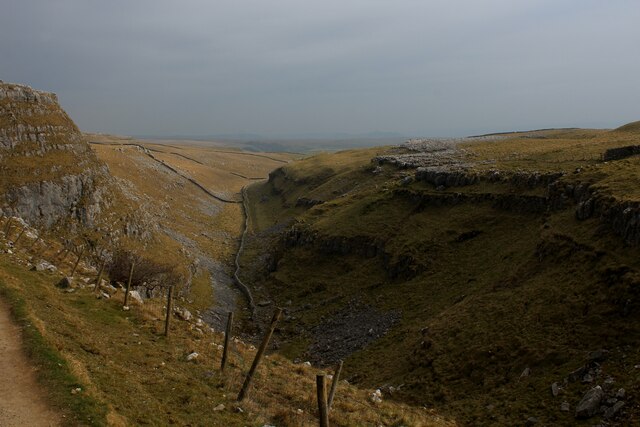
At the summit of Comb Hill, visitors are rewarded with breathtaking panoramic views of the surrounding countryside. On clear days, it is possible to see as far as the North Sea coast, the Yorkshire Dales, and even the Pennines. The hill is an ideal spot for hiking enthusiasts, offering various trails and footpaths that wind through the rolling moorland and heather-clad slopes.
The name "Comb Hill" is derived from the Old English word "cumb," meaning a narrow valley or ravine. This is fitting, as the hill is characterized by its steep sides and deep valleys that have been carved out by erosion over millions of years. The area is rich in wildlife, with a diverse range of flora and fauna, including heather, bilberry, and numerous bird species such as curlews and lapwings.
Comb Hill is steeped in history, with evidence of human habitation dating as far back as the prehistoric era. The surrounding area is dotted with ancient burial mounds and remains of settlement sites, providing a glimpse into the region's past. Today, the hill continues to attract visitors who seek tranquility, natural beauty, and a connection to Yorkshire's rich heritage.
If you have any feedback on the listing, please let us know in the comments section below.
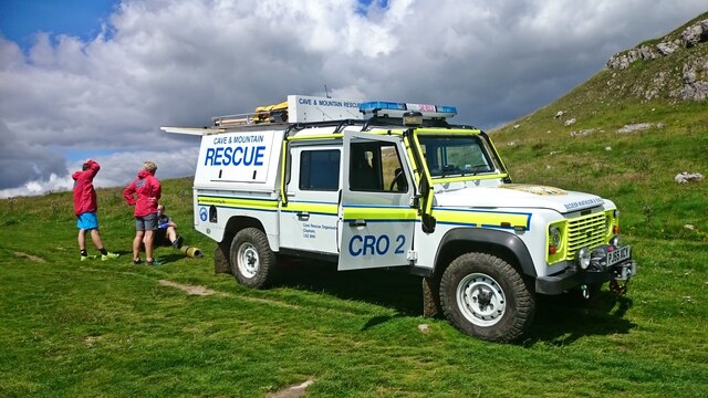
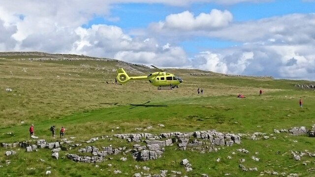
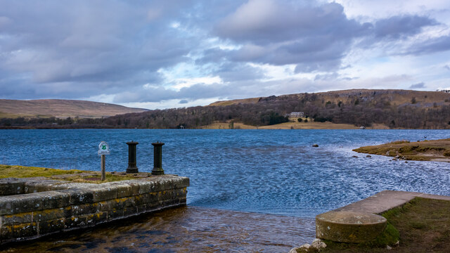
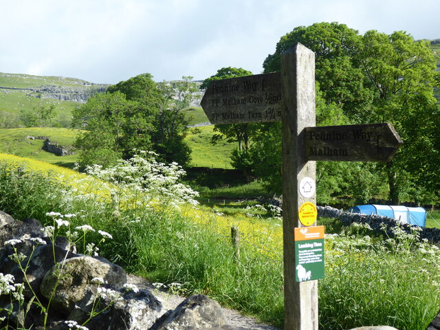
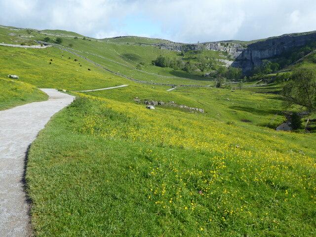
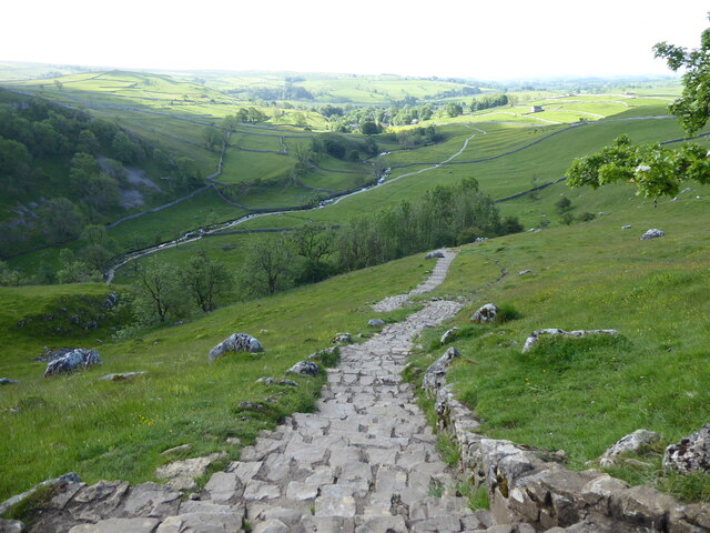
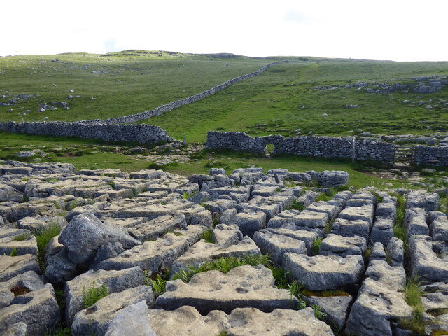
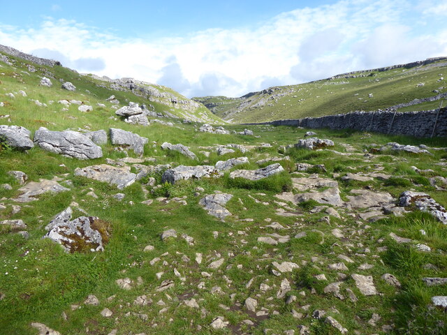
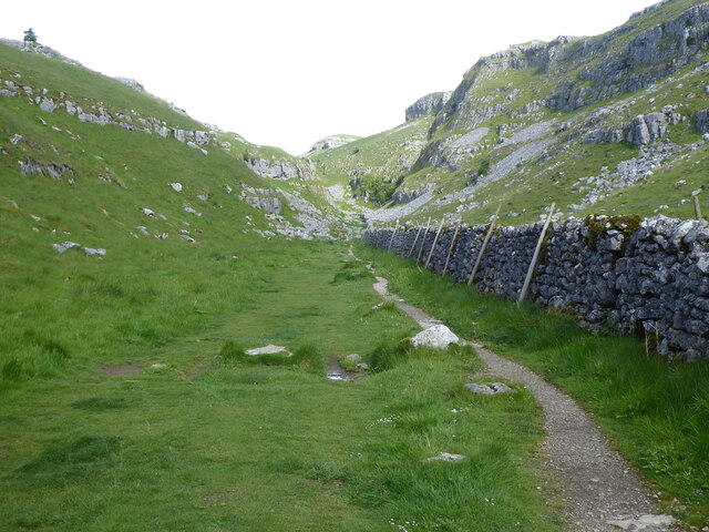
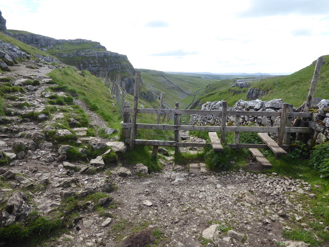
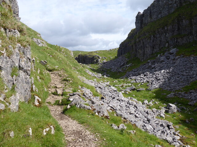
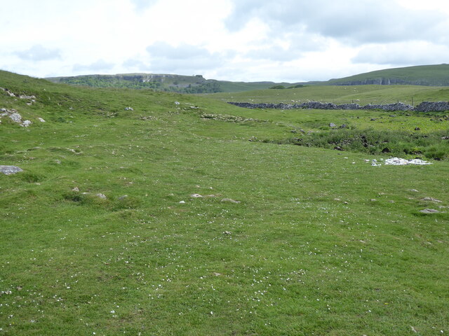
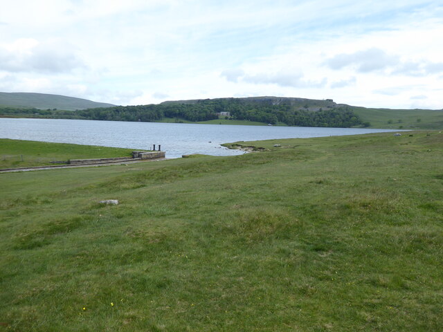
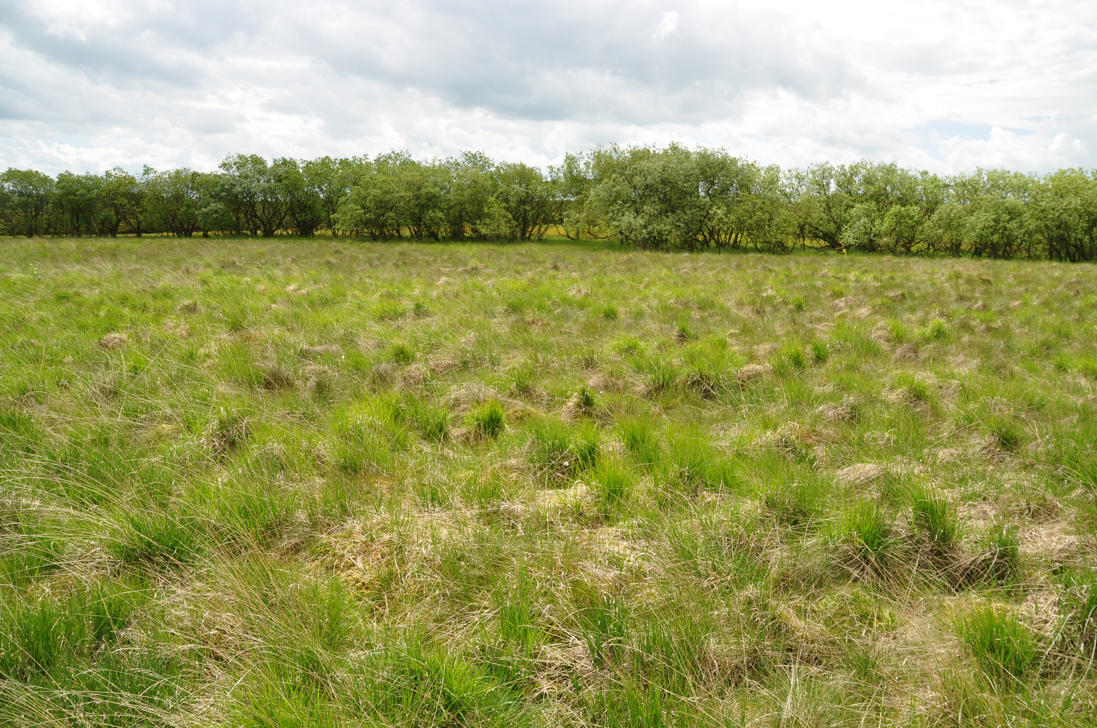
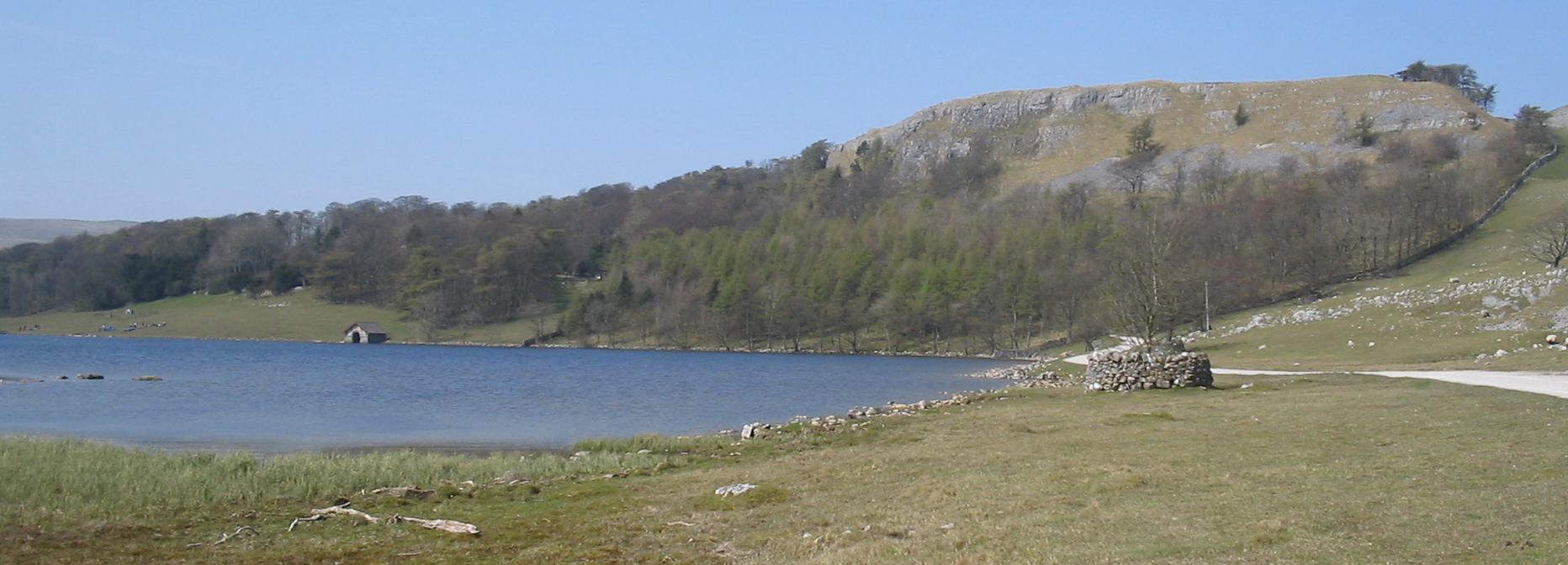
Comb Hill Images
Images are sourced within 2km of 54.079835/-2.165327 or Grid Reference SD8964. Thanks to Geograph Open Source API. All images are credited.
Comb Hill is located at Grid Ref: SD8964 (Lat: 54.079835, Lng: -2.165327)
Division: West Riding
Administrative County: North Yorkshire
District: Craven
Police Authority: North Yorkshire
What 3 Words
///corrosive.input.onions. Near Settle, North Yorkshire
Nearby Locations
Related Wikis

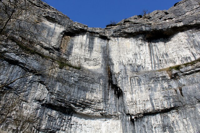
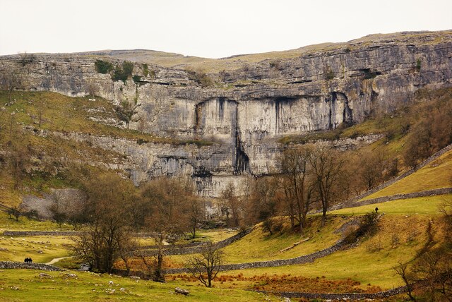
Malham Cove
Malham Cove is a large curved limestone formation 0.6 miles (1 km) north of the village of Malham, North Yorkshire, England. It was formed by a waterfall...
Malham Tarn Estate
Malham Tarn Estate is a National Trust property in North Yorkshire, England. The estate is located in the Pennines and lies between Wharfedale and Ribblesdale...
Malham Tarn
Malham Tarn is a glacial lake near the village of Malham in the Yorkshire Dales, England. The lake is one of only eight upland alkaline lakes in Europe...

Malham
Malham is a village and civil parish in the Craven district of North Yorkshire, England. Before 20th century boundary changes, the village was part of...

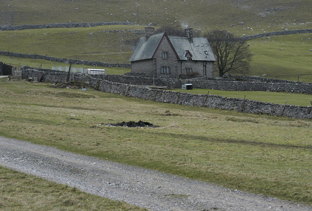
Friar Garth Farmhouse
Friar Garth Farmhouse is a Grade II listed building in Malham, North Yorkshire, England. It was listed as an historic site by English Heritage on 13 September...
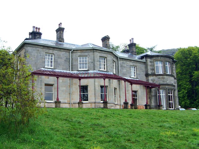
Malham Tarn Field Studies Centre
FSC Malham Tarn, situated near Malham Tarn in the Yorkshire Dales National Park, North Yorkshire, England, occupies a large Georgian country house, leased...
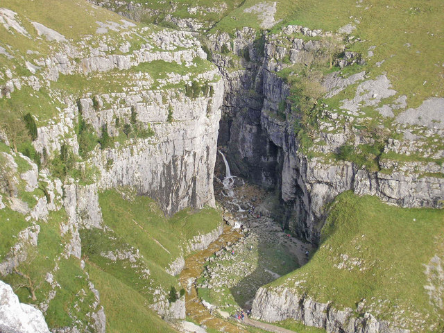
Gordale Scar
Gordale Scar is a limestone ravine 1 mile (1.6 km) north-east of Malham, North Yorkshire, England. It contains two waterfalls and has overhanging limestone...
Malham Moor
Malham Moor is a civil parish in the Craven district of North Yorkshire, England. Its population was estimated at 70 in 2015.It has a joint parish council...
Nearby Amenities
Located within 500m of 54.079835,-2.165327Have you been to Comb Hill?
Leave your review of Comb Hill below (or comments, questions and feedback).