Orton Hill

Hill, Mountain in Staffordshire South Staffordshire

England

Orton Hill

Two Pylons The view south from the path from Awbridge to Trysull.
Two Pylons Credit: Gordon Griffiths

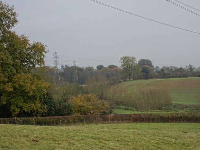
Orton Hill is a small hill located in Staffordshire, England. Situated near the village of Orton-on-the-Hill, it is a prominent feature of the local landscape. Despite being referred to as a hill, it can be considered more of a gentle slope, with an elevation of around 145 meters (475 feet) above sea level.

The hill is covered in lush green grass and scattered with a variety of trees, including oak and beech. It offers stunning panoramic views of the surrounding countryside, making it a popular spot for hikers, nature enthusiasts, and photographers. On a clear day, one can see for miles across the rolling hills and farmland.

At the summit of Orton Hill, there is a trig point, a concrete pillar used in surveying. This serves as a marker for geodetic surveys and provides a point of reference for measuring distances and angles. The trig point itself is a fascinating sight for those interested in geodesy and surveying techniques.

The hill is also home to a range of wildlife, including rabbits, foxes, and a variety of bird species. It is not uncommon to see bird watchers with their binoculars, hoping to catch a glimpse of a rare species.

Orton Hill provides a peaceful and tranquil setting, offering a respite from the hustle and bustle of everyday life. It is a place where visitors can enjoy the beauty of nature and take in the breathtaking views that Staffordshire has to offer.

If you have any feedback on the listing, please let us know in the comments section below.
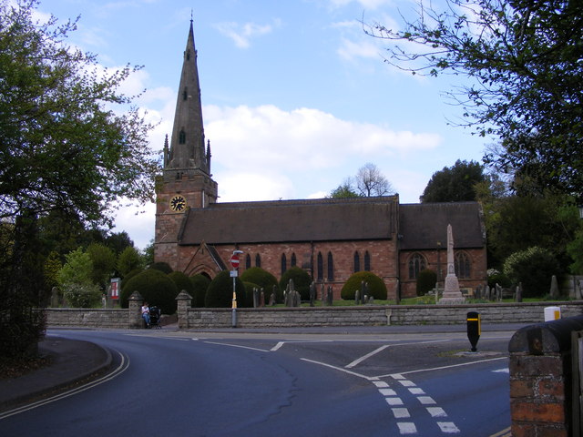
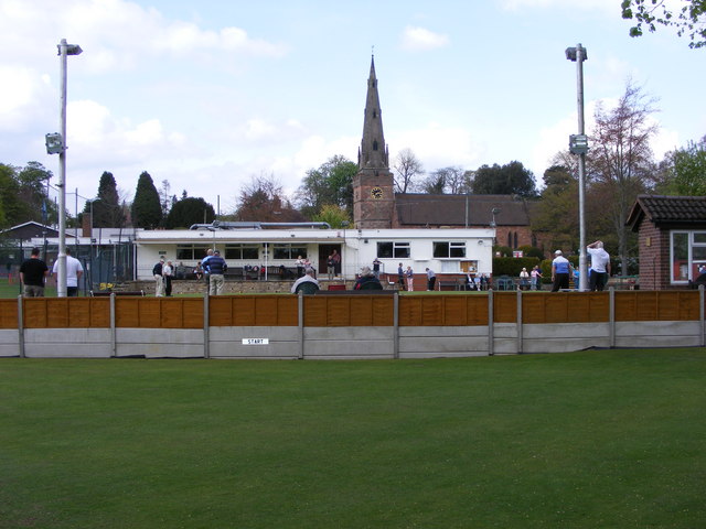
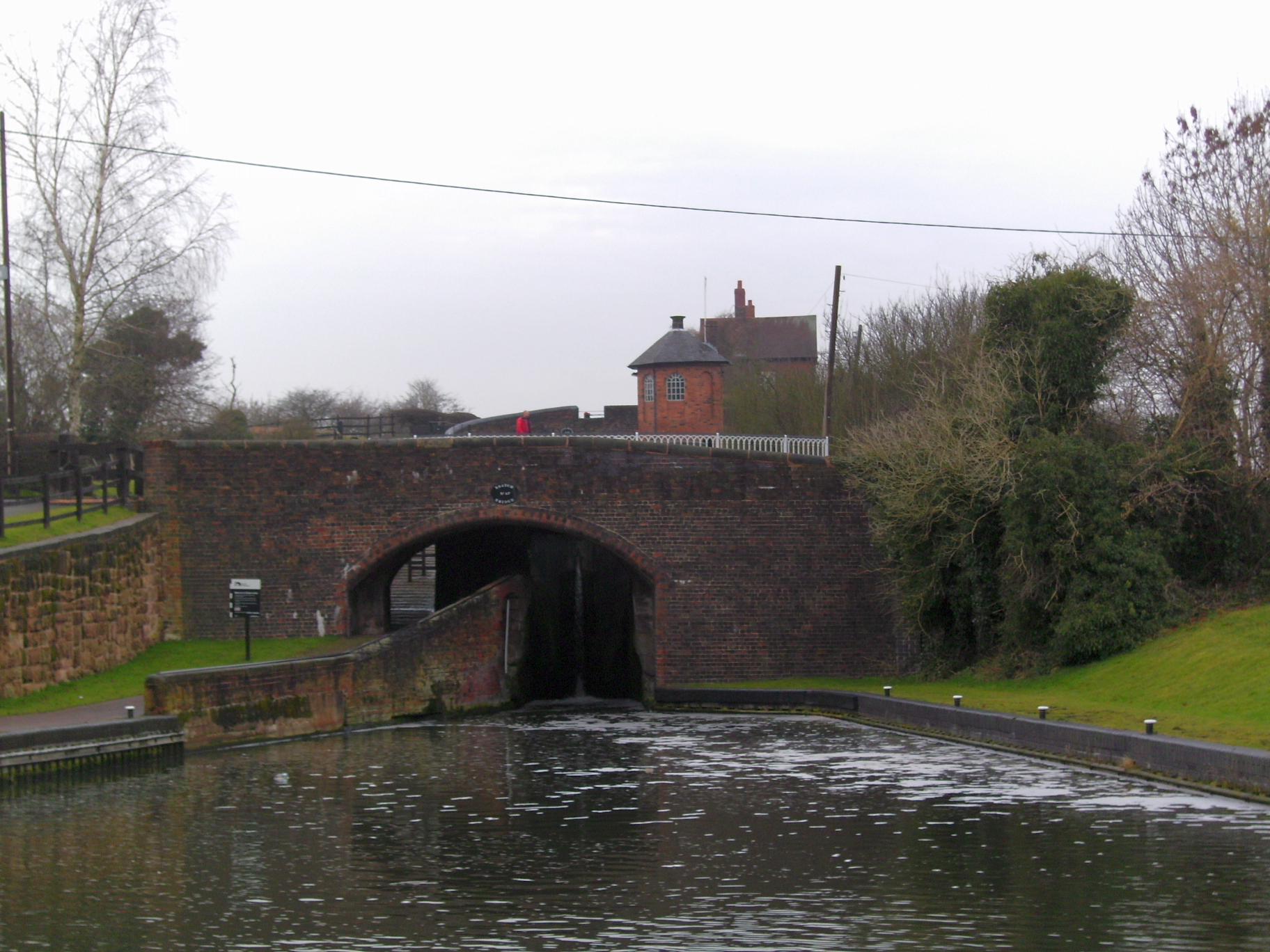
Orton Hill Images

Images are sourced within 2km of 52.55174/-2.1826856 or Grid Reference SO8794. Thanks to Geograph Open Source API. All images are credited.

Two Pylons The view south from the path from Awbridge to Trysull.
Two Pylons
The view south from the path from Awbridge to Trysull.
The Old Stag's Head by Penn Common near Wolverhampton The Old Stag's Head is in Pennwood Lane at the junction with Sedgley Road and Church Hill. The pub is closed and looking ever more dilapidated as planning schemes for its development are refused. It is seen here just before sunset, as the light fades.
The Old Stag's Head by Penn Common near Wolverhampton
The Old Stag's Head is in Pennwood Lane at the junction with Sedgley Road and Church Hill. The pub is closed and looking ever more dilapidated as planning schemes for its development are refused. It is seen here just before sunset, as the light fades.
Empty Mooring The view across the Staffordshire and Worcestershire Canal by the Greyhound Kennels near Wombourne.
Empty Mooring
The view across the Staffordshire and Worcestershire Canal by the Greyhound Kennels near Wombourne.
Golf Course The view of the Golf Course on Penn Common, Staffordshire.
Golf Course
The view of the Golf Course on Penn Common, Staffordshire.
Green Scene The view of Penn Golf Course on Penn Common in Staffordshire.
Green Scene
The view of Penn Golf Course on Penn Common in Staffordshire.
Tee Bags View The view of Penn Golf Course on Penn Common in Staffordshire.
Tee Bags View
The view of Penn Golf Course on Penn Common in Staffordshire.
Common Field The view near Penn Golf Course on Penn Common in Staffordshire.
Common Field
The view near Penn Golf Course on Penn Common in Staffordshire.
Chamberlain's Lane Track View The view from the path towards Vicarage Road in Lower Penn, Wolverhampton.
Chamberlain's Lane Track View
The view from the path towards Vicarage Road in Lower Penn, Wolverhampton.
Bratch Scene The view in Wombourne of the Bratch locks on the Staffordshire and Worcestershire Canal.
Bratch Scene
The view in Wombourne of the Bratch locks on the Staffordshire and Worcestershire Canal.
Wombourne Brook The view in Wombourne near the bratch locks on the Staffordshire and Worcestershire Canal.
Wombourne Brook
The view in Wombourne near the bratch locks on the Staffordshire and Worcestershire Canal.
Council Housing - Warstones Gardens Stylistically these appear to be 1950s though are not shown on my late 1960s streetmap.
Council Housing - Warstones Gardens
Stylistically these appear to be 1950s though are not shown on my late 1960s streetmap.
Council Housing - Warstones Drive Stylistically these appear to be 1950s though are not shown on my late 1960s streetmap.
Council Housing - Warstones Drive
Stylistically these appear to be 1950s though are not shown on my late 1960s streetmap.
Council Housing - North Green The early 1950s saw the postwar development at Warstones. Like other estates of the period there were no boundary walls on the frontage. The photo is taken from the Warstones Green open space.
Council Housing - North Green
The early 1950s saw the postwar development at Warstones. Like other estates of the period there were no boundary walls on the frontage. The photo is taken from the Warstones Green open space.
Council Housing - East Green The early 1950s saw the postwar development at Warstones. Like other estates of the period there were no boundary walls on the frontage. The photo is taken from the Warstones Green open space.
Council Housing - East Green
The early 1950s saw the postwar development at Warstones. Like other estates of the period there were no boundary walls on the frontage. The photo is taken from the Warstones Green open space.
Council Housing - Claverley Drive The immediate post war period saw some inovative designs using preformed components such as these houses on the Warstones Estate.
Council Housing - Claverley Drive
The immediate post war period saw some inovative designs using preformed components such as these houses on the Warstones Estate.
Wombourne Institute The 1863 Institute in Church Road stands next to St Benedict Church overlooking the Staffordshire Village Green.
Wombourne Institute
The 1863 Institute in Church Road stands next to St Benedict Church overlooking the Staffordshire Village Green.
Wombourne Church The St Benedict Biscop Church stands in Church Road overlooking the Village Green.
Wombourne Church
The St Benedict Biscop Church stands in Church Road overlooking the Village Green.
Green on the Green Wombourne Bowls Club stands on the Staffordshire Village Green, with St Benedict's Church in the background.
Green on the Green
Wombourne Bowls Club stands on the Staffordshire Village Green, with St Benedict's Church in the background.
Show me another place!

Orton Hill is located at Grid Ref: SO8794 (Lat: 52.55174, Lng: -2.1826856)

Administrative County: Staffordshire

District: South Staffordshire

Police Authority: Staffordshire

What 3 Words

///novel.cotton.commented. Near Wombourn, Staffordshire

Related Wikis

Lower Penn

Lower Penn is a village in South Staffordshire, situated to the south-west of Wolverhampton, West Midlands. The Civil Parish covers the area of the historic...

Orton, Staffordshire

Orton is a hamlet in the South Staffordshire district, in the English county of Staffordshire. Nearby settlements include the city of Wolverhampton and...

Wombourn railway station

Wombourn railway station was the main intermediate station on the Wombourne Branch Line, situated at the Bratch. It was opened by the Great Western Railway...

Bratch

The Bratch is an area of Wombourne in South Staffordshire, England, noted for its industrial heritage and more recently as a way station for walkers, riders...

Highfields School, Wolverhampton

Highfields School is a mixed secondary school and sixth form located in the Penn area of Wolverhampton, in the West Midlands of England. It was formed...

The Wodehouse

The Wodehouse is a Grade II* listed English country house near Wombourne, Staffordshire, notable as the family seat of the Georgian landscape designer...

St Bartholomew's Church, Penn

St Bartholomew's Church is in Penn, a district of Wolverhampton, West Midlands, England. It is an active Anglican parish church in the deanery of Trysull...

Penn Halt railway station

Penn Halt was the smallest of all stops on the Wombourne Branch Line. It was opened by the Great Western Railway in 1925 and closed in 1932. The line was...

Nearby Amenities

Located within 500m of 52.55174,-2.1826856
Power: tower
Source: bing
Lat/Long: 52.5476332/-2.1829394
Power: tower
Source: bing
Lat/Long: 52.5487492/-2.1785877
Power: tower
Source: bing
Lat/Long: 52.5477092/-2.1826156
Power: tower
Source: bing
Lat/Long: 52.5504583/-2.1848638
Power: tower
Source: bing
Lat/Long: 52.5505591/-2.1845122
Power: tower
Source: bing
Lat/Long: 52.5525192/-2.1863087
Power: tower
Source: bing
Lat/Long: 52.5526484/-2.1859312
Man Made: tower
Source: bing
Tower Type: communication
Lat/Long: 52.549225/-2.182562
Ele: 163m
Man Made: survey_point
Lat/Long: 52.551759/-2.1826878
The data included in this document is from www.openstreetmap.org. The data is made available under ODbL.

Have you been to Orton Hill?

Leave your review of Orton Hill below (or comments, questions and feedback).