Fox Hill

Wood, Forest in Staffordshire South Staffordshire

England

Fox Hill

Two Pylons The view south from the path from Awbridge to Trysull.
Two Pylons Credit: Gordon Griffiths

Fox Hill is a picturesque area located in Staffordshire, England, known for its dense woodlands and scenic beauty. Situated near the town of Stafford, this charming forest is a popular destination for nature enthusiasts and hikers.

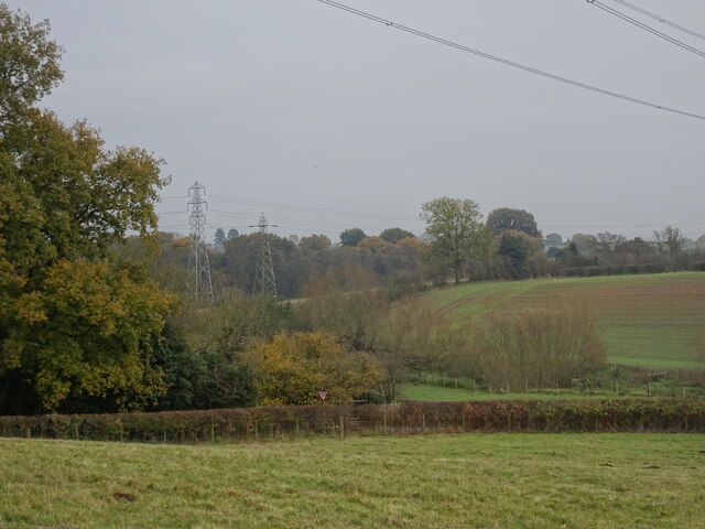
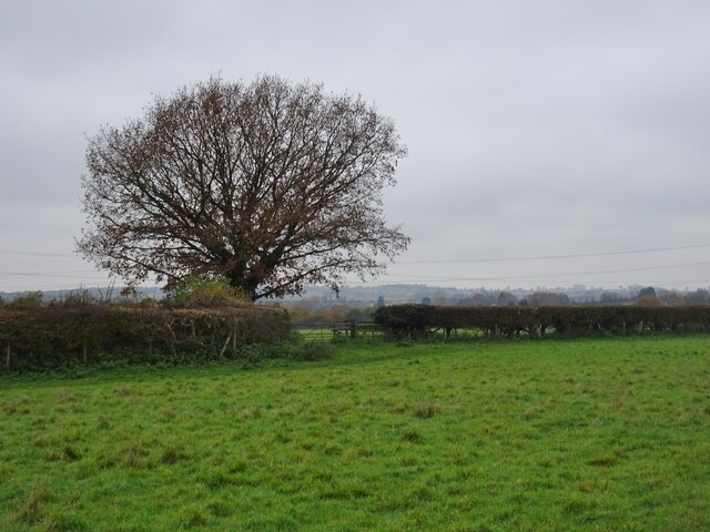
Covering an area of approximately 50 acres, Fox Hill is characterized by its rolling hills and thick canopies of oak and beech trees. The woodland is home to a diverse array of wildlife, including deer, foxes, badgers, and a variety of bird species. It offers a tranquil and peaceful environment, providing a welcome escape from the hustle and bustle of urban life.

The forest is crisscrossed by a network of well-maintained trails, making it ideal for those who enjoy walking, jogging, or cycling. These paths lead visitors through enchanting woodlands, offering breathtaking views of the surrounding countryside. In the spring, Fox Hill is adorned with vibrant flowers and blossoming bluebells, creating a stunning display of colors.

Moreover, the area features a small picnic area where visitors can relax and enjoy a meal amidst the natural beauty. Families often frequent the site, taking advantage of the open spaces for recreational activities such as ball games or kite flying.

Fox Hill is open to the public year-round and entrance is free. With its captivating beauty and tranquil atmosphere, this Staffordshire gem is a must-visit destination for anyone seeking a peaceful retreat in the heart of nature.

If you have any feedback on the listing, please let us know in the comments section below.
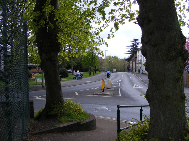
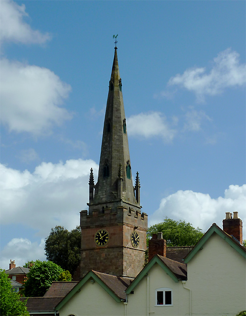
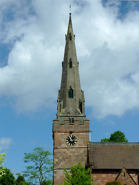
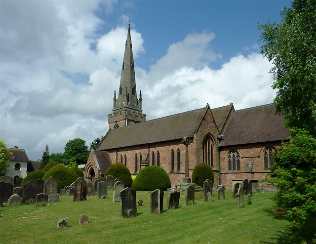
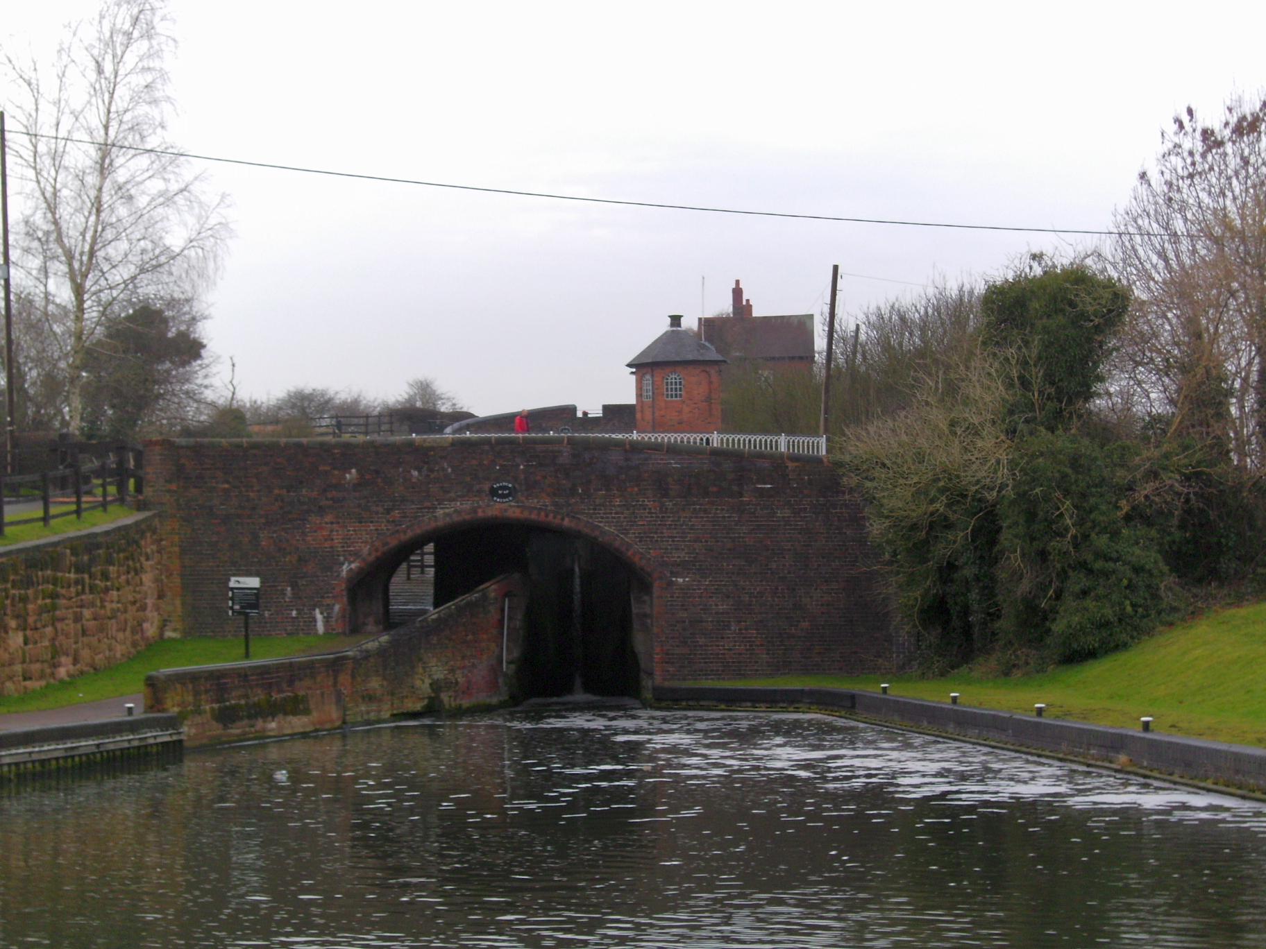
Fox Hill Images

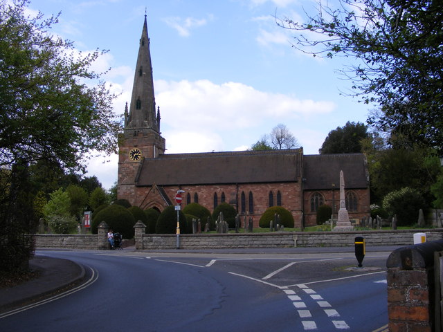
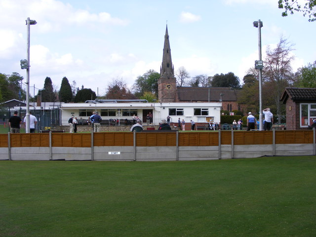
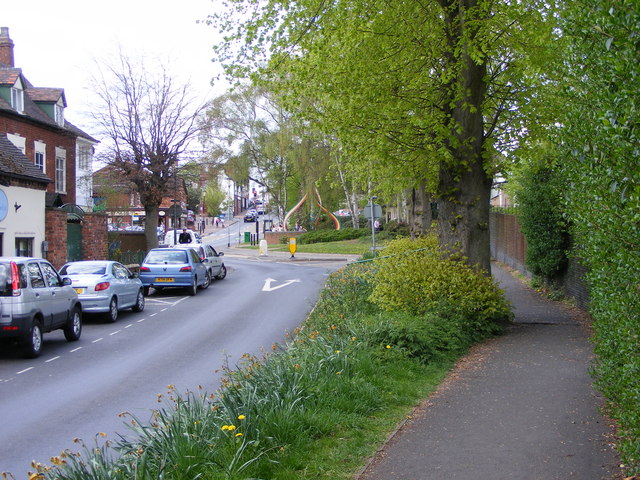
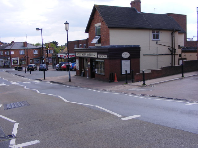
Images are sourced within 2km of 52.551036/-2.1901156 or Grid Reference SO8794. Thanks to Geograph Open Source API. All images are credited.

Two Pylons The view south from the path from Awbridge to Trysull.
Two Pylons
The view south from the path from Awbridge to Trysull.
Hedge Tree The view from the footpath near Bratch Common Road Wombourne.
Hedge Tree
The view from the footpath near Bratch Common Road Wombourne.
Broken Canal Bridge The view of Dimmingsdale Road Bridge over the Staffordshire and Worcestershire Canal in Lower Penn. Another vehicle has demolished the bridge wall.
Broken Canal Bridge
The view of Dimmingsdale Road Bridge over the Staffordshire and Worcestershire Canal in Lower Penn. Another vehicle has demolished the bridge wall.
Approach to Dimmingsdale Lock The view of the Staffordshire and Worcestershire Canal near Lower Penn.
Approach to Dimmingsdale Lock
The view of the Staffordshire and Worcestershire Canal near Lower Penn.
Empty Mooring The view across the Staffordshire and Worcestershire Canal by the Greyhound Kennels near Wombourne.
Empty Mooring
The view across the Staffordshire and Worcestershire Canal by the Greyhound Kennels near Wombourne.
Chamberlain's Lane Track View The view from the path towards Vicarage Road in Lower Penn, Wolverhampton.
Chamberlain's Lane Track View
The view from the path towards Vicarage Road in Lower Penn, Wolverhampton.
Bratch Scene The view in Wombourne of the Bratch locks on the Staffordshire and Worcestershire Canal.
Bratch Scene
The view in Wombourne of the Bratch locks on the Staffordshire and Worcestershire Canal.
Wombourne Brook The view in Wombourne near the bratch locks on the Staffordshire and Worcestershire Canal.
Wombourne Brook
The view in Wombourne near the bratch locks on the Staffordshire and Worcestershire Canal.
Wombourne Institute The 1863 Institute in Church Road stands next to St Benedict Church overlooking the Staffordshire Village Green.
Wombourne Institute
The 1863 Institute in Church Road stands next to St Benedict Church overlooking the Staffordshire Village Green.
Wombourne Church The St Benedict Biscop Church stands in Church Road overlooking the Village Green.
Wombourne Church
The St Benedict Biscop Church stands in Church Road overlooking the Village Green.
Green on the Green Wombourne Bowls Club stands on the Staffordshire Village Green, with St Benedict's Church in the background.
Green on the Green
Wombourne Bowls Club stands on the Staffordshire Village Green, with St Benedict's Church in the background.
Wombourne Path The view up Maypole Street alongside the Staffordshire Village Green.
Wombourne Path
The view up Maypole Street alongside the Staffordshire Village Green.
Wombourne Butchers The view of Boxley's of Wombourne in Windmill Bank near the Staffordshire Village Green.
Wombourne Butchers
The view of Boxley's of Wombourne in Windmill Bank near the Staffordshire Village Green.
Maypole and Street The view in Maypole Street Wombourne near the Staffordshire Village Green.
Maypole and Street
The view in Maypole Street Wombourne near the Staffordshire Village Green.
Wombourne View The view of Gravel Hill from the corner of the Staffordshire Village Green.
Wombourne View
The view of Gravel Hill from the corner of the Staffordshire Village Green.
The spire of St Benedict Biscop Church at Wombourne, Staffordshire In 1840 nearly all the then existing medieval church was demolished. The 14th century tower with its recessed stone spire was retained. The 1840 rebuild was itself taken down, and the present fine structure replaced it in 1867 - again retaining the original 14th century tower and spire.
The spire of St Benedict Biscop Church at Wombourne, Staffordshire
In 1840 nearly all the then existing medieval church was demolished. The 14th century tower with its recessed stone spire was retained. The 1840 rebuild was itself taken down, and the present fine structure replaced it in 1867 - again retaining the original 14th century tower and spire.
St Benedict Biscop Church in Wombourne, Staffordshire In 1840 nearly all the then existing medieval church was demolished. The 14th century tower with its recessed stone spire was retained. The 1840 rebuild was itself taken down, and the present fine structure replaced it in 1867 - again retaining the original 14th century tower and spire.
St Benedict Biscop Church in Wombourne, Staffordshire
In 1840 nearly all the then existing medieval church was demolished. The 14th century tower with its recessed stone spire was retained. The 1840 rebuild was itself taken down, and the present fine structure replaced it in 1867 - again retaining the original 14th century tower and spire.
Show me another place!

Fox Hill is located at Grid Ref: SO8794 (Lat: 52.551036, Lng: -2.1901156)

Administrative County: Staffordshire

District: South Staffordshire

Police Authority: Staffordshire

What 3 Words

///known.warns.tight. Near Wombourn, Staffordshire

Related Wikis

Orton, Staffordshire

Orton is a hamlet in the South Staffordshire district, in the English county of Staffordshire. Nearby settlements include the city of Wolverhampton and...

Wombourn railway station

Wombourn railway station was the main intermediate station on the Wombourne Branch Line, situated at the Bratch. It was opened by the Great Western Railway...

Lower Penn

Lower Penn is a village in South Staffordshire, situated to the south-west of Wolverhampton, West Midlands. The Civil Parish covers the area of the historic...

Bratch

The Bratch is an area of Wombourne in South Staffordshire, England, noted for its industrial heritage and more recently as a way station for walkers, riders...

Penn Halt railway station

Penn Halt was the smallest of all stops on the Wombourne Branch Line. It was opened by the Great Western Railway in 1925 and closed in 1932. The line was...

Wombourne High School

Wombourne High School (formerly Ounsdale High School) is a coeducational secondary school and sixth form located in Wombourne, Staffordshire, England....

Highfields School, Wolverhampton

Highfields School is a mixed secondary school and sixth form located in the Penn area of Wolverhampton, in the West Midlands of England. It was formed...

The Wodehouse

The Wodehouse is a Grade II* listed English country house near Wombourne, Staffordshire, notable as the family seat of the Georgian landscape designer...

Nearby Amenities

Located within 500m of 52.551036,-2.1901156
Power: tower
Source: bing
Lat/Long: 52.5546914/-2.1882841
Power: tower
Source: bing
Lat/Long: 52.5546843/-2.1887908
Power: tower
Source: bing
Lat/Long: 52.5504583/-2.1848638
Power: tower
Source: bing
Lat/Long: 52.5505591/-2.1845122
Power: tower
Source: bing
Lat/Long: 52.5525192/-2.1863087
Power: tower
Source: bing
Lat/Long: 52.5526484/-2.1859312
Barrier: kissing_gate
Lat/Long: 52.5483673/-2.1928095
Barrier: kissing_gate
Lat/Long: 52.5489848/-2.1903986
Barrier: kissing_gate
Lat/Long: 52.5486519/-2.1915401
The data included in this document is from www.openstreetmap.org. The data is made available under ODbL.

Have you been to Fox Hill?

Leave your review of Fox Hill below (or comments, questions and feedback).