Black Hill
Hill, Mountain in Durham
England
Black Hill

Black Hill is a prominent hill located in County Durham, England. Situated approximately 5 miles northwest of the city of Durham, it is part of the broader landscape of the North Pennines Area of Outstanding Natural Beauty. Rising to an elevation of 228 meters (748 feet), Black Hill offers breathtaking panoramic views of the surrounding countryside.
The hill is most notable for its distinctive black basalt outcrops, which give it its name. These outcrops are remnants of ancient volcanic activity in the region, dating back millions of years. The dark, rugged rocks create a striking contrast against the greenery of the surrounding moorland and make Black Hill easily recognizable from a distance.
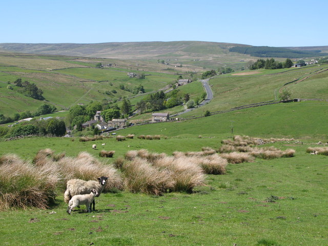
Black Hill is a popular destination for walkers and hikers, thanks to its well-maintained footpaths and stunning vistas. Several trails wind their way up the hill, offering different levels of difficulty to accommodate a range of abilities. The summit provides a fantastic vantage point, allowing visitors to admire the picturesque Durham countryside, including the nearby Durham Cathedral and the River Wear.
The area surrounding Black Hill is also home to a diverse array of wildlife. The hill's heather moorland provides a habitat for various bird species, including red grouse, skylarks, and curlews. Additionally, the hill is part of a designated Site of Special Scientific Interest, as it supports a unique plant community, including species such as bilberry and crowberry.
Overall, Black Hill is a captivating and historically significant natural feature, offering visitors a chance to immerse themselves in the beauty and tranquility of the Durham countryside.
If you have any feedback on the listing, please let us know in the comments section below.
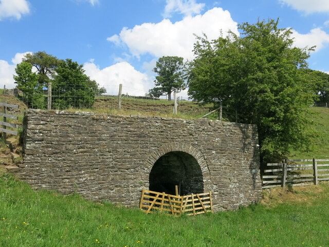
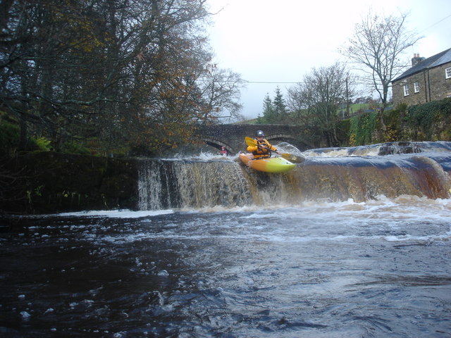
Black Hill Images
Images are sourced within 2km of 54.764534/-2.198276 or Grid Reference NY8741. Thanks to Geograph Open Source API. All images are credited.


Black Hill is located at Grid Ref: NY8741 (Lat: 54.764534, Lng: -2.198276)
Unitary Authority: County Durham
Police Authority: Durham
What 3 Words
///belief.seated.hero. Near Stanhope, Co. Durham
Nearby Locations
Related Wikis

Cowshill
Cowshill is a village in the civil parish of Stanhope, in County Durham, England. It is situated at the top of Weardale, between Lanehead and Wearhead...
Copthill
Copthill is a village in the civil parish of Stanhope, in County Durham, England. It is situated on the north side of Weardale, between Cowshill and Cornriggs...
West Blackdene
West Blackdene is a village in the civil parish of Stanhope, in County Durham, England. It is situated to the north of the River Wear, opposite Ireshopeburn...

Wearhead
Wearhead is a village in the civil parish of Stanhope, in County Durham, England. It is situated at the top of Weardale between Cowshill and Ireshopeburn...

Wearhead railway station
Wearhead railway station served the village of Wearhead, County Durham, England, from 1895 to 1961 on the Weardale Railway. == History == The station opened...

Ireshopeburn
Ireshopeburn ( EYE-sup-burn ) is a village in the civil parish of Stanhope, in County Durham, England. It is situated on the south side of Weardale, between...

New House, County Durham
New House or Newhouse is a hamlet in the civil parish of Stanhope, in County Durham, England. It lies on the north side of the River Wear, opposite Ireshopeburn...

Cornriggs Meadows
Cornriggs Meadows is a Site of Special Scientific Interest in Upper Weardale in north-west County Durham, England. It consists of a group of fields, located...
Nearby Amenities
Located within 500m of 54.764534,-2.198276Have you been to Black Hill?
Leave your review of Black Hill below (or comments, questions and feedback).